Coed Ty'n-twll
Wood, Forest in Montgomeryshire
Wales
Coed Ty'n-twll
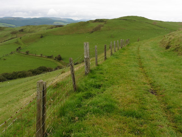
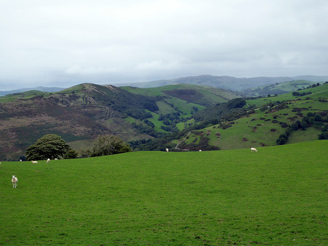
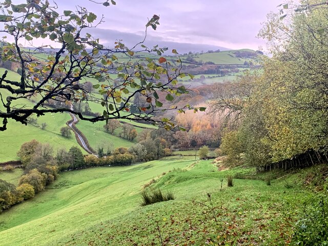
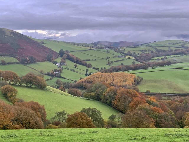
Coed Ty'n-twll is a stunning woodland area located in Montgomeryshire, Wales. Covering approximately 100 acres, it is renowned for its natural beauty and rich biodiversity. The name "Ty'n-twll" translates to "house in the hollow" in English, perfectly capturing the essence of this enchanting forest.
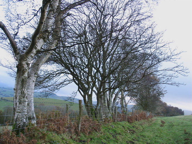
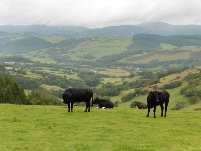
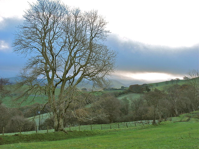
The woodland is predominantly composed of ancient oak and beech trees, towering majestically over the landscape. These trees provide a haven for a diverse range of wildlife, including rare bird species such as the red kite and buzzard, as well as elusive mammals like badgers and foxes. The forest floor is carpeted with a plethora of wildflowers, creating a vibrant tapestry of colors during the spring and summer months.
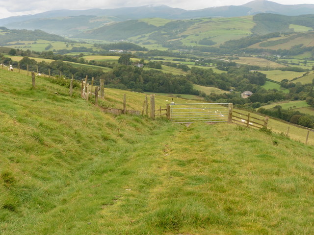
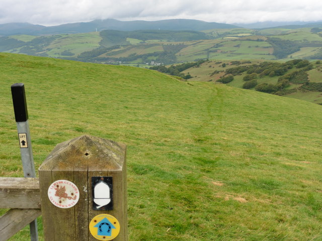
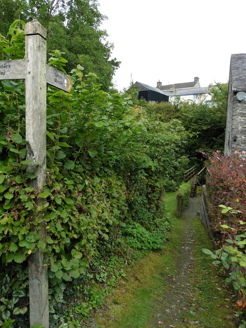
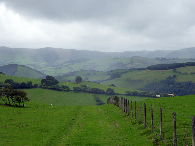
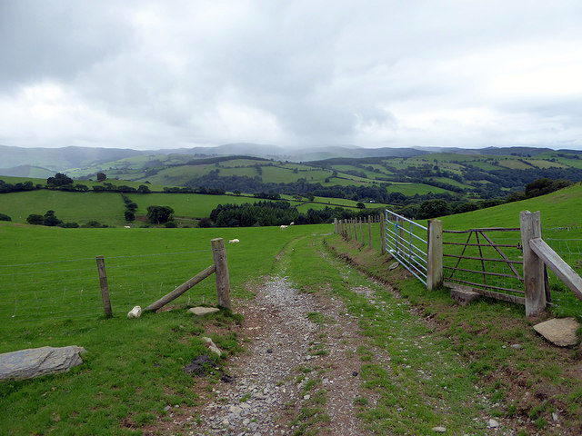
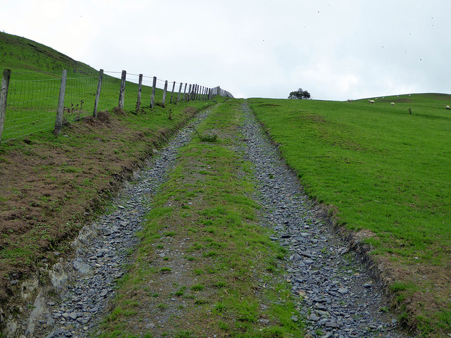
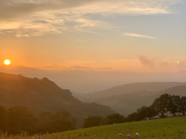
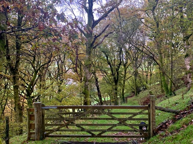
Coed Ty'n-twll is crisscrossed by a network of well-maintained footpaths, allowing visitors to explore the area at their leisure. The trails lead to picturesque viewpoints and secluded spots, offering breathtaking vistas of the surrounding countryside. Nature enthusiasts and photographers flock to this woodland, hoping to capture its ethereal beauty.
The forest is also steeped in history, with remnants of ancient settlements and burial sites scattered throughout. The area has been a source of inspiration for artists and writers throughout the years, who have sought solace and creative stimulation amidst its tranquil surroundings.
Coed Ty'n-twll is a true gem of Montgomeryshire, attracting visitors from far and wide who are seeking a peaceful escape in the heart of nature. It provides a unique opportunity to immerse oneself in the beauty of the Welsh countryside and experience the tranquility of a truly magical woodland.
If you have any feedback on the listing, please let us know in the comments section below.
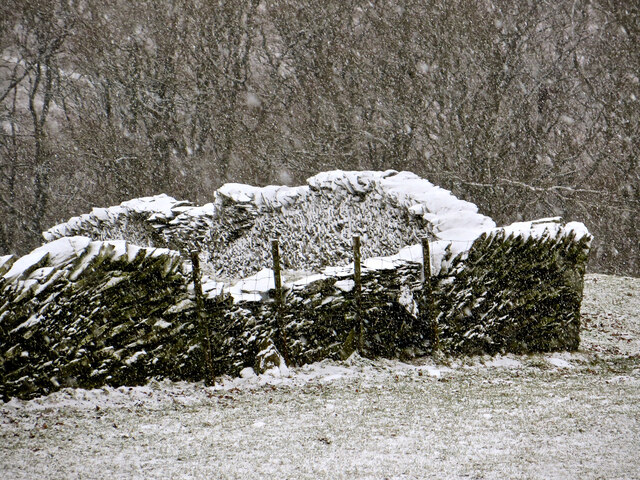
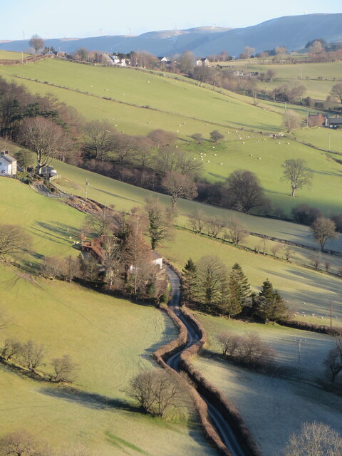
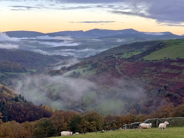
Coed Ty'n-twll Images
Images are sourced within 2km of 52.595582/-3.7652787 or Grid Reference SH8001. Thanks to Geograph Open Source API. All images are credited.
Coed Ty'n-twll is located at Grid Ref: SH8001 (Lat: 52.595582, Lng: -3.7652787)
Unitary Authority: Powys
Police Authority: Dyfed Powys
What 3 Words
///neck.organisms.boater. Near Machynlleth, Powys
Nearby Locations
Related Wikis

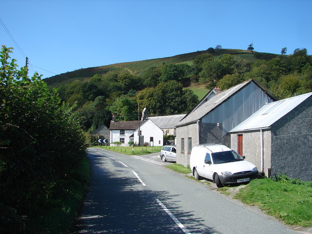
Abercegir
Abercegir () is a small rural village in Powys, Wales. It lies approximately 4 miles east of the town of Machynlleth and is 81 miles (131 km) from Cardiff...
Abergwydol
Abergwydol () is a village in the Welsh principal area of Powys located on the A489 road between Cemmaes Road and Penegoes. It is part of the community...
Llanwrin
Llanwrin () is a small village in the valley of the Afon Dyfi in Powys, Wales, about two miles north-east of Machynlleth. == History and background... ==

Penegoes
Penegoes () is a village in Powys, Wales, between Cemmaes Road and Machynlleth, on the A489 road, and the primary settlement of the community of Cadfarch...

Afon Ceirig
The Afon Ceirig is a small river in Mid Wales. It flows from Esgair Llewelyn in the middle of the Dyfi Hills down to Mathafarn, north-west of Cemmaes Road...
Mathafarn
Mathafarn is a house and farm near Llanwrin, in Wales. The earliest house here was built before 1485, and Mathafarn plays a significant role in Welsh and...
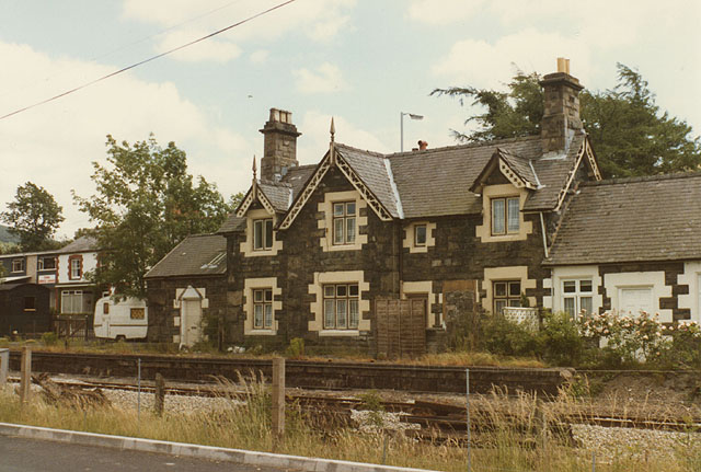
Cemmes Road railway station
Cemmes Road was a railway station on the Newtown and Machynlleth Railway (N&MR) in Mid-Wales, serving the village of Cemmaes Road. The N&MR passed through...
Cemmaes Road
Cemmaes Road (Welsh: Glantwymyn; ) is a village in Powys, Wales. It is in the community (civil parish) of Glantwymyn. The village was named in English...
Nearby Amenities
Located within 500m of 52.595582,-3.7652787Have you been to Coed Ty'n-twll?
Leave your review of Coed Ty'n-twll below (or comments, questions and feedback).