Cloud Wood
Wood, Forest in Somerset Somerset West and Taunton
England
Cloud Wood
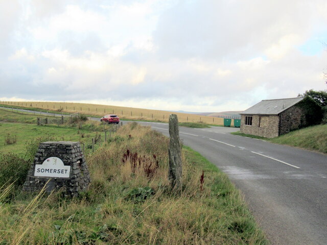
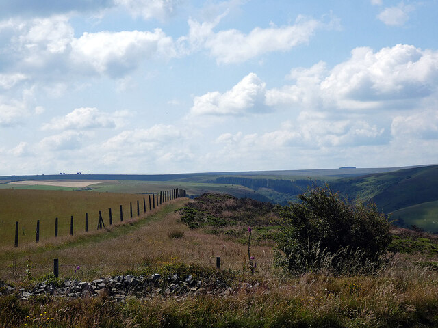
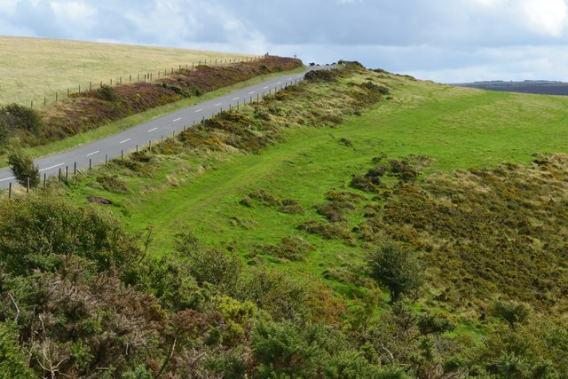
Cloud Wood is a picturesque woodland located in Somerset, England. Nestled within the rural countryside, this enchanting forest covers an area of approximately 20 acres and is a popular destination for nature lovers and outdoor enthusiasts alike.
The wood is characterized by its diverse range of trees, including oak, beech, and birch, which create a stunning canopy of greenery. Walking through Cloud Wood, visitors are greeted by a tranquil atmosphere, with the gentle rustling of leaves and the melodic songs of birds providing a soothing soundtrack.
The forest floor is carpeted with a variety of wildflowers, adding bursts of color to the landscape. Bluebells, primroses, and wood anemones bloom in abundance during the spring months, creating a breathtaking display of natural beauty.
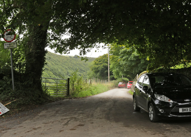
Several well-maintained trails wind their way through Cloud Wood, offering visitors the opportunity to explore its magnificent surroundings. The paths are suitable for both leisurely strolls and more challenging hikes, catering to individuals of all fitness levels.
Cloud Wood is also home to a diverse array of wildlife. Squirrels can be spotted darting between the trees, while rabbits and deer occasionally make appearances. Birdwatchers will delight in the opportunity to observe species such as woodpeckers, nuthatches, and tawny owls in their natural habitat.
With its serene ambiance and picturesque scenery, Cloud Wood provides a peaceful retreat from the hustle and bustle of everyday life. Whether it's a leisurely walk, a picnic, or simply immersing oneself in the beauty of nature, this hidden gem in Somerset offers a truly memorable experience.
If you have any feedback on the listing, please let us know in the comments section below.
Cloud Wood Images
Images are sourced within 2km of 51.210885/-3.7270739 or Grid Reference SS7947. Thanks to Geograph Open Source API. All images are credited.


Cloud Wood is located at Grid Ref: SS7947 (Lat: 51.210885, Lng: -3.7270739)
Administrative County: Somerset
District: Somerset West and Taunton
Police Authority: Avon and Somerset
What 3 Words
///blur.remaining.twitching. Near Lynton, Devon
Nearby Locations
Related Wikis

Malmsmead Bridge
Malmsmead Bridge is a 17th-century stone bridge which crosses Badgworthy Water in the hamlet of Malmsmead, on the road between Oare and Brendon. The Badgworthy...

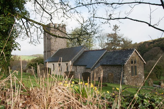
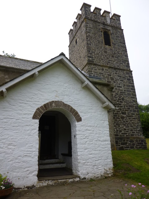
Church of St Mary, Oare
The Anglican Church of St Mary in Oare, Somerset, England, was built in the 15th century. It is a Grade II* listed building. == History == The nave and...

Malmsmead
Malmsmead is a hamlet on the border between the English counties of Devon and Somerset. The nearest town is Lynton, which lies approximately 4.7 miles...

Oare Water
Oare Water passes through the village of Oare, on Exmoor in Somerset, England. It joins Badgworthy Water before flowing to Watersmeet and the Bristol Channel...
Badgworthy Water
Badgworthy Water is a small river which flows through Malmsmead on Exmoor, close to the border between Devon and Somerset, England. It merges with Oare...

East Lyn Valley
East Lyn Valley is a valley of Exmoor, covering northern Devon and western Somerset, England. The East Lyn River is formed from several main tributaries...

Oare, Somerset
Oare is a village and civil parish on Oare Water on Exmoor in the Somerset West and Taunton district of Somerset, England. It is located 6 miles (10 km...

Brendon and Countisbury
Brendon and Countisbury is an English civil parish in the district of North Devon and the county of Devon. The civil parish was created on 1 April 2013...
Nearby Amenities
Located within 500m of 51.210885,-3.7270739Have you been to Cloud Wood?
Leave your review of Cloud Wood below (or comments, questions and feedback).