Hill Wood
Wood, Forest in Somerset Somerset West and Taunton
England
Hill Wood
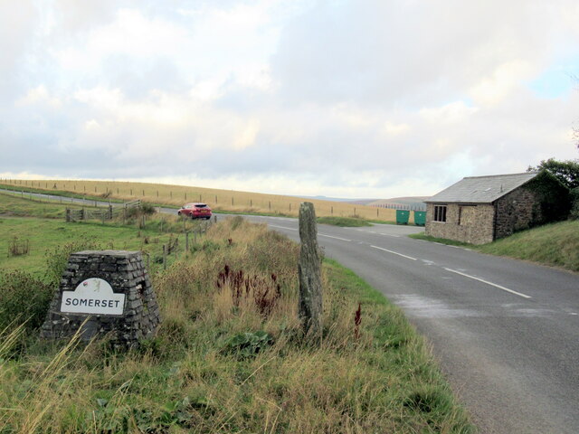
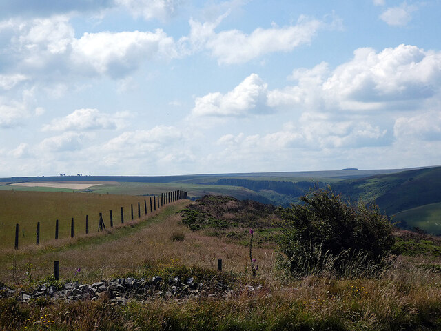
Hill Wood, located in Somerset, England, is a picturesque woodland area that spans across a sprawling landscape of approximately 100 acres. Nestled in the heart of the Somerset countryside, this enchanting forest is a haven for nature enthusiasts and outdoor adventurers alike.
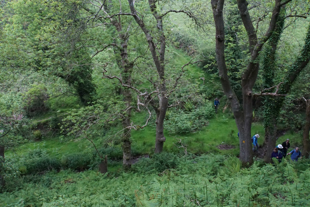
The wood is primarily composed of a variety of broadleaf trees, including oak, ash, beech, and birch, creating a diverse and vibrant ecosystem. The dense canopy provides a sanctuary for an array of wildlife, including squirrels, rabbits, deer, and a plethora of bird species.
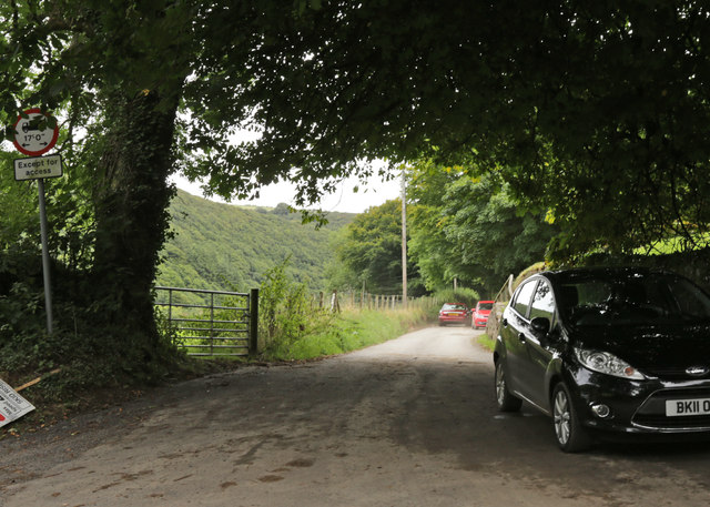
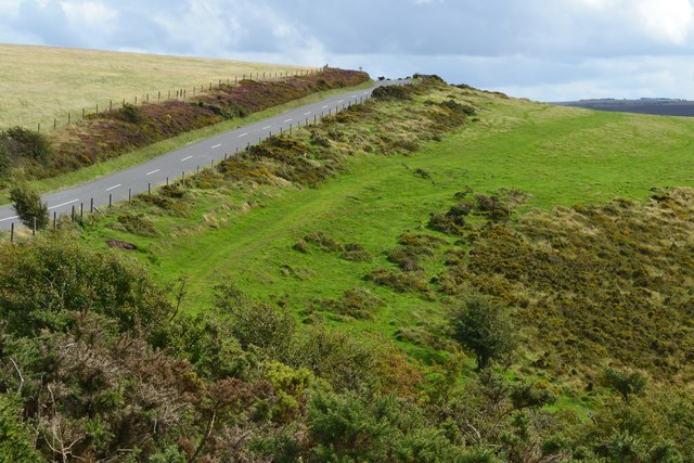
Visitors to Hill Wood can explore the numerous winding trails that meander through the forest, offering breathtaking views of the surrounding countryside and opportunities for peaceful walks and hikes. The forest floor is adorned with a carpet of vibrant wildflowers during the spring and summer months, adding a burst of color to the already captivating scenery.
Hill Wood is not only cherished for its natural beauty but also its rich historical significance. The area has been inhabited for centuries and boasts remnants of ancient settlements, including the remains of an Iron Age hill fort. These archaeological sites provide a fascinating insight into the region's past and attract history buffs and archaeology enthusiasts.
In recent years, Hill Wood has become a popular destination for nature education programs and outdoor recreational activities. Local organizations offer guided tours and workshops that aim to educate visitors about the importance of conservation and sustainability.
Overall, Hill Wood in Somerset is a captivating forest that offers a tranquil escape from the hustle and bustle of everyday life. With its stunning scenery, diverse wildlife, and ancient history, it continues to captivate the hearts of all who venture into its embrace.
If you have any feedback on the listing, please let us know in the comments section below.
Hill Wood Images
Images are sourced within 2km of 51.213146/-3.7298359 or Grid Reference SS7947. Thanks to Geograph Open Source API. All images are credited.


Hill Wood is located at Grid Ref: SS7947 (Lat: 51.213146, Lng: -3.7298359)
Administrative County: Somerset
District: Somerset West and Taunton
Police Authority: Avon and Somerset
What 3 Words
///rooms.hazelnuts.neater. Near Lynton, Devon
Nearby Locations
Related Wikis

Malmsmead Bridge
Malmsmead Bridge is a 17th-century stone bridge which crosses Badgworthy Water in the hamlet of Malmsmead, on the road between Oare and Brendon. The Badgworthy...

Malmsmead
Malmsmead is a hamlet on the border between the English counties of Devon and Somerset. The nearest town is Lynton, which lies approximately 4.7 miles...

Oare Water
Oare Water passes through the village of Oare, on Exmoor in Somerset, England. It joins Badgworthy Water before flowing to Watersmeet and the Bristol Channel...
Badgworthy Water
Badgworthy Water is a small river which flows through Malmsmead on Exmoor, close to the border between Devon and Somerset, England. It merges with Oare...

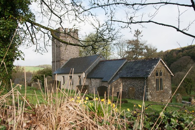
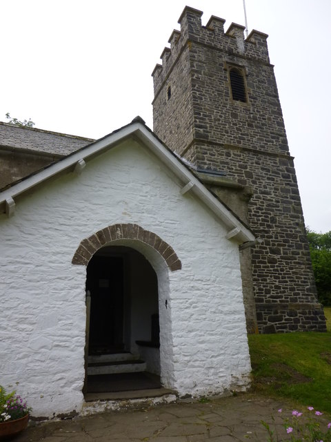
Church of St Mary, Oare
The Anglican Church of St Mary in Oare, Somerset, England, was built in the 15th century. It is a Grade II* listed building. == History == The nave and...

East Lyn Valley
East Lyn Valley is a valley of Exmoor, covering northern Devon and western Somerset, England. The East Lyn River is formed from several main tributaries...

Oare, Somerset
Oare is a village and civil parish on Oare Water on Exmoor in the Somerset West and Taunton district of Somerset, England. It is located 6 miles (10 km...

Brendon and Countisbury
Brendon and Countisbury is an English civil parish in the district of North Devon and the county of Devon. The civil parish was created on 1 April 2013...
Nearby Amenities
Located within 500m of 51.213146,-3.7298359Have you been to Hill Wood?
Leave your review of Hill Wood below (or comments, questions and feedback).