Strangaton Copse
Wood, Forest in Devon Mid Devon
England
Strangaton Copse
Strangaton Copse is a picturesque woodland located in the county of Devon, in the southwest of England. Covering an area of approximately 100 acres, this ancient forest is a haven for nature enthusiasts and those seeking tranquility in a stunning natural setting.
The copse is characterized by its dense canopy of trees, predominantly consisting of oak, beech, and silver birch. The tall, majestic oaks provide a sense of grandeur, while the delicate silver birches create a contrasting ethereal ambiance. The forest floor is adorned with a rich carpet of mosses, ferns, and wildflowers, adding to the copse's enchanting beauty.
Strangaton Copse is renowned for its diverse ecosystem, supporting a wide variety of flora and fauna. Birdwatchers can spot species such as woodpeckers, owls, and warblers, while deer, foxes, and badgers roam the forest floor. The copse is also home to numerous insects, including butterflies and beetles, which thrive in the woodland's microhabitats.
Visitors can explore the copse via a network of well-maintained footpaths, allowing them to fully immerse themselves in the natural surroundings. The tranquil atmosphere makes it an ideal location for leisurely walks, picnics, and photography.
Strangaton Copse offers a glimpse into the ancient woodlands that once covered much of the Devon landscape. Its untouched beauty and rich biodiversity make it a cherished natural treasure, attracting locals and tourists alike who seek solace and connection with nature.
If you have any feedback on the listing, please let us know in the comments section below.
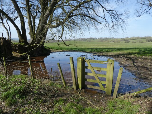
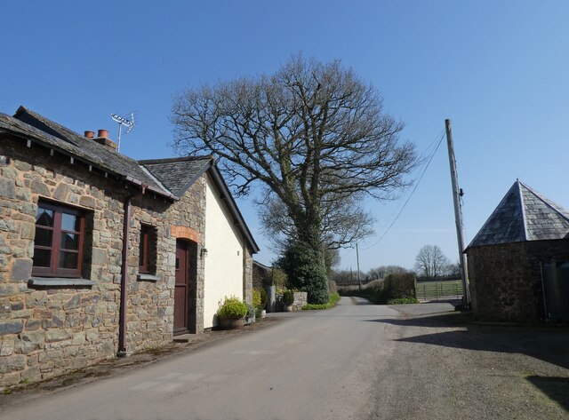
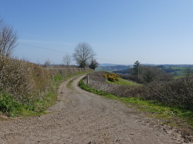
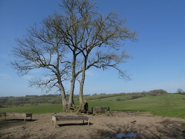
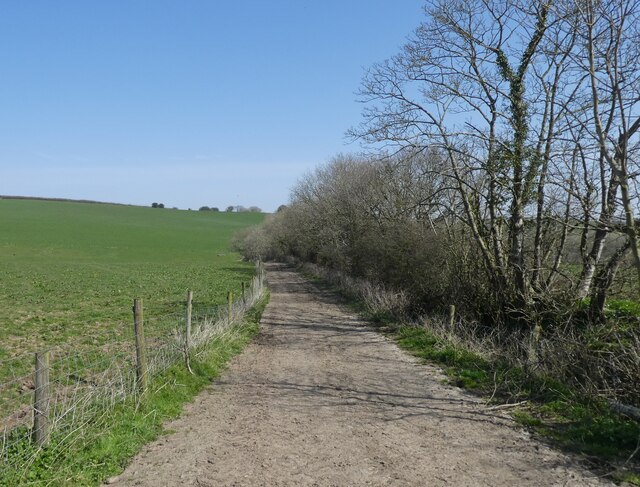
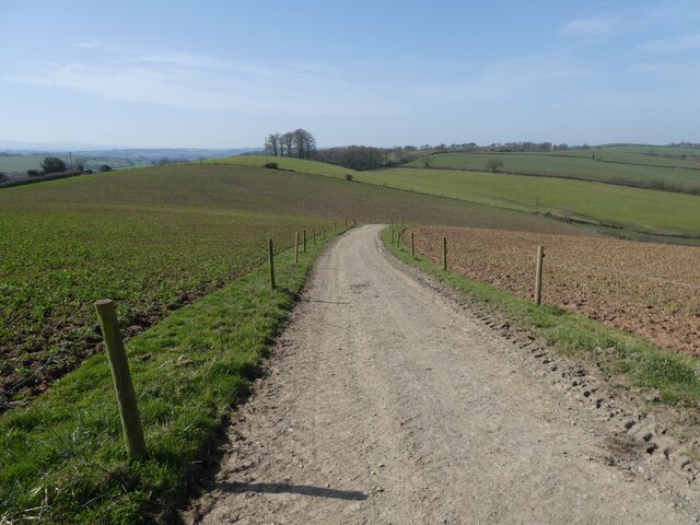
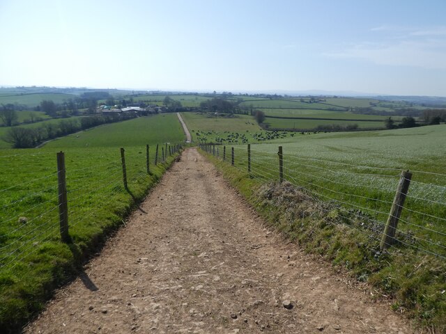
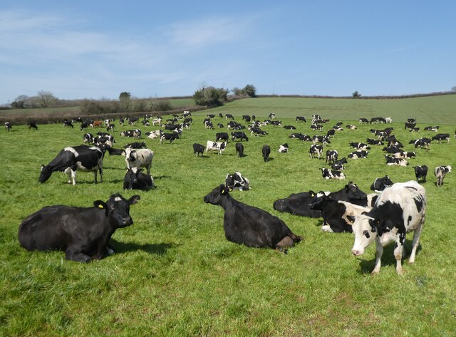
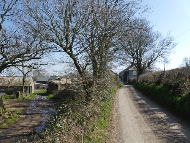
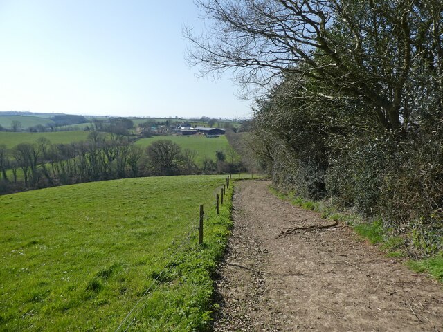
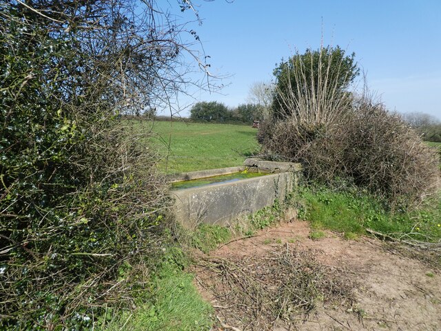
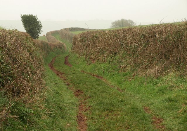
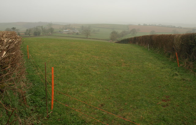
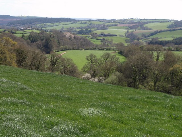
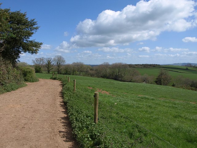
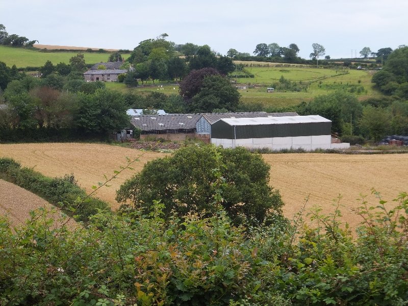
Strangaton Copse Images
Images are sourced within 2km of 50.825294/-3.7127598 or Grid Reference SS7904. Thanks to Geograph Open Source API. All images are credited.


Strangaton Copse is located at Grid Ref: SS7904 (Lat: 50.825294, Lng: -3.7127598)
Administrative County: Devon
District: Mid Devon
Police Authority: Devon and Cornwall
What 3 Words
///monks.spirit.pats. Near Copplestone, Devon
Nearby Locations
Related Wikis

Oldborough
Oldborough is a village in Devon, England. It is near the village of Morchard Bishop. Oldborough has a population of just under 1,000 people. The only...

Spencer Combe
Spencer Combe in the parish of Crediton, Devon, is an historic estate. The grade II listed farmhouse known today as "Spence Combe", the remnant of a former...

Fordy Wood Copse
Fordy Wood Copse is a woodland in Devon, England, near Sandford. It covers a total area of 0.64 hectares (1.58 acres) and overlooks the River Creedy. It...
Woolsgrove
Woolsgrove is a village in Devon, England.
Related Videos

Beach Cabin Calamity Part 2 of 3 Blue Skies & Green Fields
Formerly 'Mark the Demystifier and Retroactive Jealousy Support', this unique, quirky & idiosyncratic channel is about busting ...
Nearby Amenities
Located within 500m of 50.825294,-3.7127598Have you been to Strangaton Copse?
Leave your review of Strangaton Copse below (or comments, questions and feedback).