Angelbank
Settlement in Shropshire
England
Angelbank

Angelbank is a small village located in the county of Shropshire, England. Situated approximately 4 miles east of the town of Bridgnorth, it is nestled in the beautiful rural countryside of the West Midlands region. The village is part of the civil parish of Worfield and is surrounded by picturesque landscapes and rolling hills.
With a population of around 200 residents, Angelbank exudes a sense of tranquility and community spirit. The village boasts a charming mix of old and new architecture, with historic cottages alongside modern homes. The local church, St. Michael and All Angels, is a notable landmark in the area, showcasing stunning medieval features and providing a place of worship for the community.
Despite its small size, Angelbank is well-connected to nearby towns and cities. The A454 road runs close by, offering easy access to Bridgnorth and the wider Shropshire area. The village also benefits from a regular bus service, providing transportation links to other local destinations.
Nature enthusiasts will find themselves in awe of the surrounding countryside, as Angelbank is situated in close proximity to the Shropshire Hills Area of Outstanding Natural Beauty. This offers residents and visitors an abundance of opportunities for outdoor activities such as hiking, cycling, and wildlife spotting.
While Angelbank itself may lack certain amenities, the nearby town of Bridgnorth provides a range of facilities including shops, schools, and healthcare services. Overall, Angelbank serves as an idyllic retreat for those seeking a peaceful village lifestyle, surrounded by natural beauty and a close-knit community.
If you have any feedback on the listing, please let us know in the comments section below.
Angelbank Images
Images are sourced within 2km of 52.380337/-2.6331379 or Grid Reference SO5776. Thanks to Geograph Open Source API. All images are credited.


Angelbank is located at Grid Ref: SO5776 (Lat: 52.380337, Lng: -2.6331379)
Unitary Authority: Shropshire
Police Authority: West Mercia
What 3 Words
///outreach.marathons.litters. Near Ludlow, Shropshire
Nearby Locations
Related Wikis
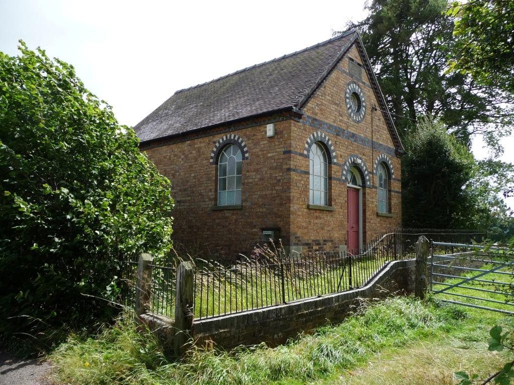
Angelbank
Angelbank (or Angel Bank) is a small settlement in south Shropshire, England. It is located on the A4117 road, between Ludlow and Cleehill; the road goes...
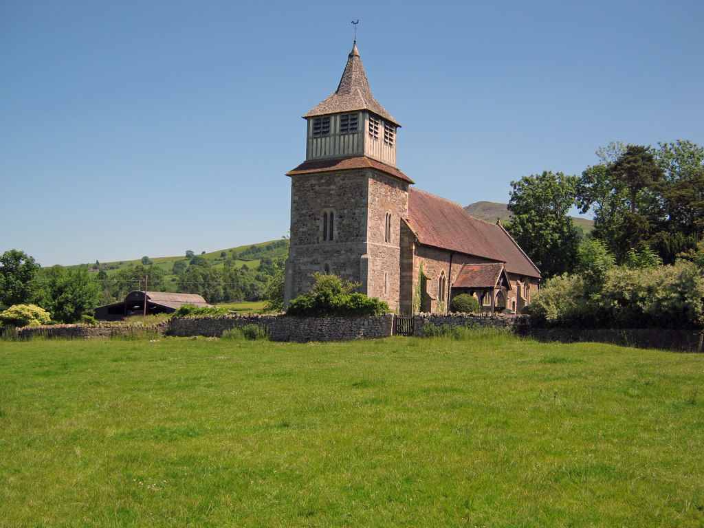
Church of St Mary, Bitterley
The Church of St Mary is located in Bitterley, Shropshire, England. Built in the 12th century and later, it is a Grade II* listed building. == History... ==

Knowbury
Knowbury is a small village near Ludlow in Shropshire, England. It is located in the civil parish of Caynham. It is near to Clee Hill Village and had a...
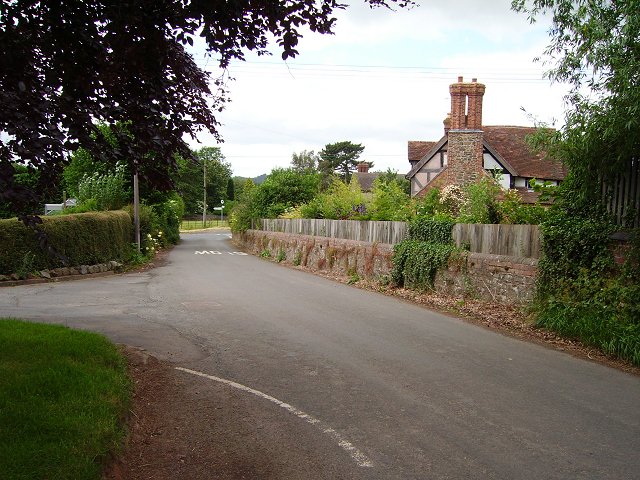
Bitterley
Bitterley is a village and civil parish in Shropshire, England. According to the 2001 census the parish had a population of 802, increasing to 902 at...
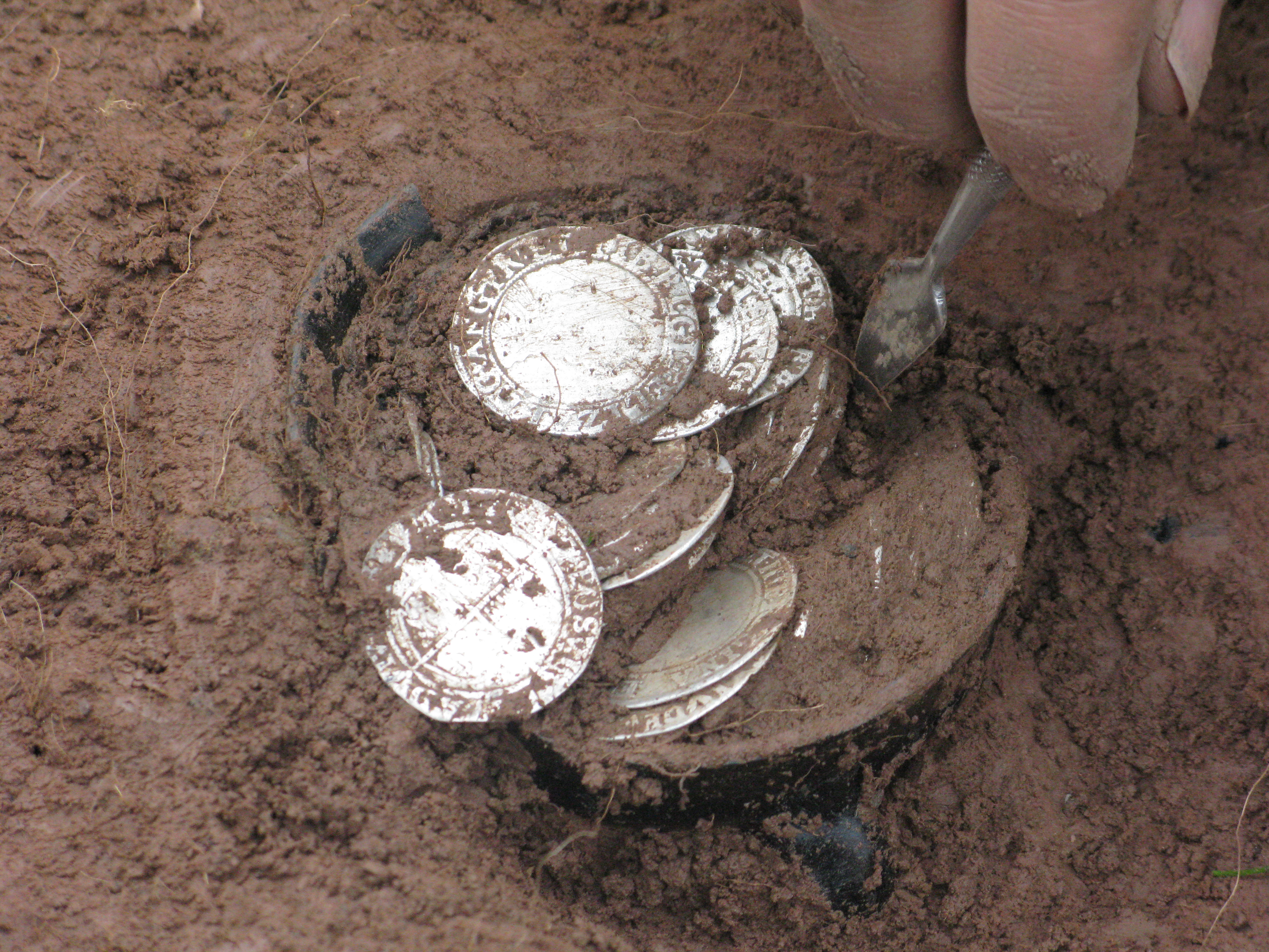
Bitterley Hoard
The Bitterley Hoard is the largest post medieval / English Civil War Coin Hoard found to date from Shropshire, England. It was discovered on 17 February...

Bedlam, Shropshire
Bedlam (also known as Titterstone Village) is a small hamlet in south Shropshire, England.It is located east of Bitterley and north of Cleehill, situated...
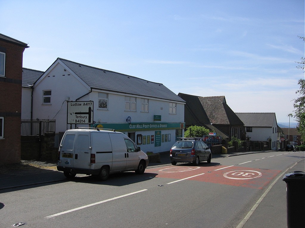
Cleehill
Cleehill is a village in south Shropshire, England. It is sometimes written as Clee Hill Village (including the road sign entering the village) to avoid...
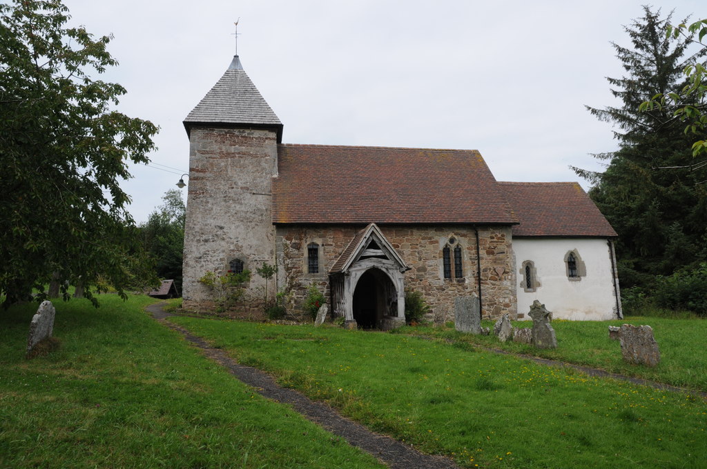
St John the Baptist's Church, Hope Bagot
St John the Baptist's Church is in the village of Hope Bagot, Shropshire, England. It is an active Anglican parish church in the deanery of Ludlow, the...
Nearby Amenities
Located within 500m of 52.380337,-2.6331379Have you been to Angelbank?
Leave your review of Angelbank below (or comments, questions and feedback).