Angarrick
Settlement in Cornwall
England
Angarrick
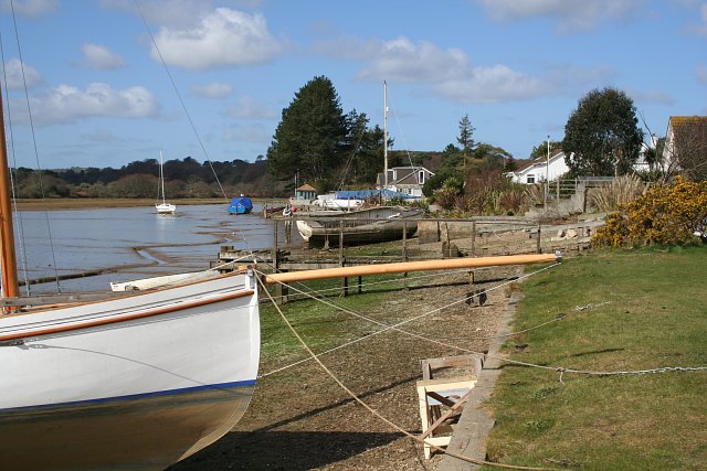
Angarrick is a small village located in the county of Cornwall, England. Situated on the southern coast of Cornwall, it is part of the parish of St. Hilary and falls within the jurisdiction of the civil parish of Perranuthnoe. Angarrick is nestled between the popular tourist destinations of Marazion and Penzance.
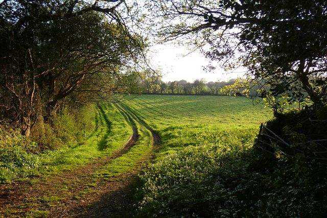
The village is characterized by its picturesque countryside, charming cottages, and stunning sea views. It offers a peaceful and idyllic setting, making it a desirable location for those seeking a tranquil retreat or a base to explore the surrounding area.
Angarrick benefits from its proximity to the beautiful beaches of Mount's Bay, with Perranuthnoe Beach being just a short distance away. This makes it a popular destination for beachgoers and water sports enthusiasts. The area is also renowned for its rich history and cultural heritage, with ancient landmarks such as St. Michael's Mount located nearby.
Although Angarrick is a small village, it is well-connected to nearby towns and cities. The town of Penzance, which is just a few miles away, offers a wider range of amenities, including shops, restaurants, and entertainment options.
Overall, Angarrick, Cornwall, offers a serene and picturesque setting, making it an ideal destination for those looking to escape the hustle and bustle of city life and immerse themselves in the beauty of the Cornish countryside.
If you have any feedback on the listing, please let us know in the comments section below.
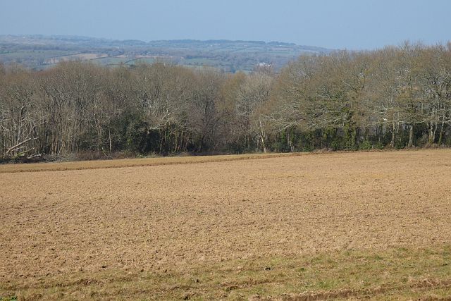
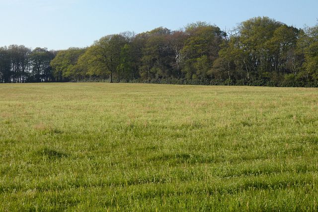
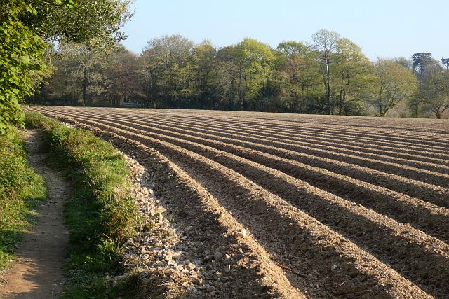
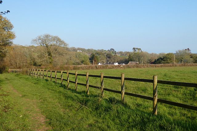
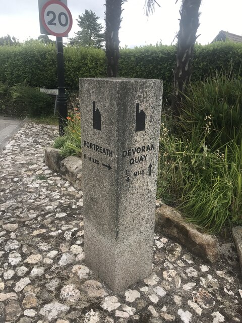
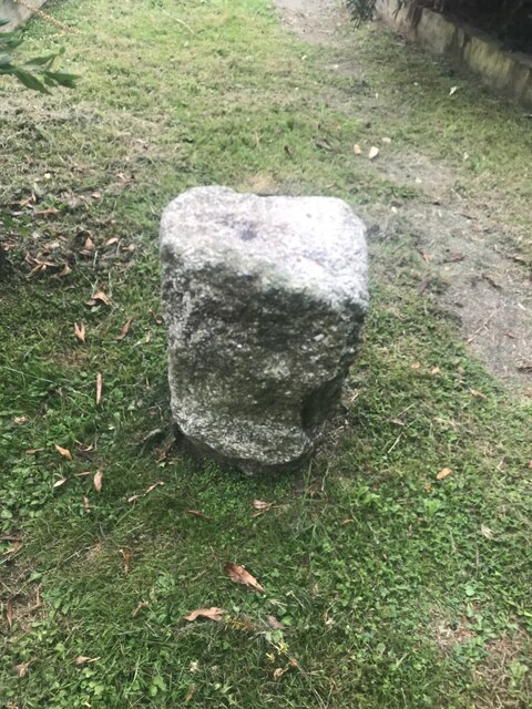
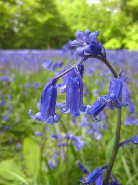
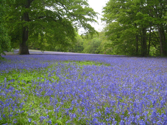
Angarrick Images
Images are sourced within 2km of 50.194549/-5.088862 or Grid Reference SW7937. Thanks to Geograph Open Source API. All images are credited.
Angarrick is located at Grid Ref: SW7937 (Lat: 50.194549, Lng: -5.088862)
Unitary Authority: Cornwall
Police Authority: Devon and Cornwall
What 3 Words
///refutes.tightest.frizz. Near Mylor Bridge, Cornwall
Nearby Locations
Related Wikis

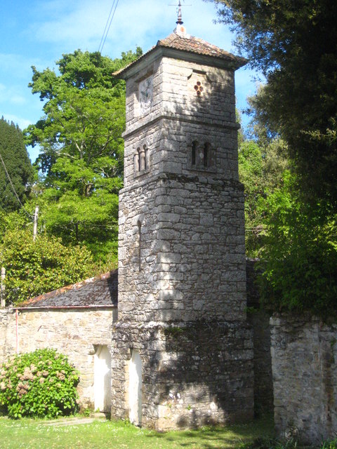
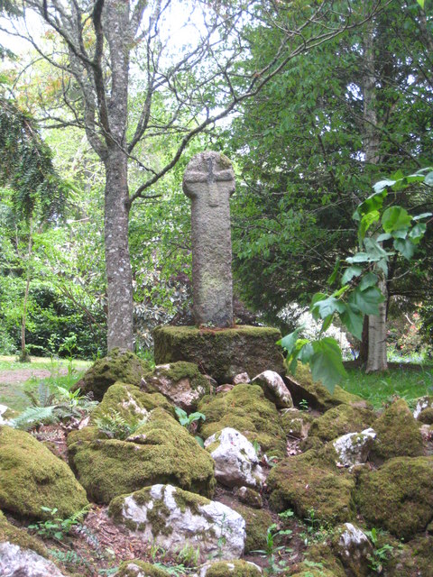
Angarrick
Angarrick (Cornish: An Garrek, meaning The Rock) is a hamlet in Cornwall, England, United Kingdom. It is situated three miles (5 km) north of Falmouth...
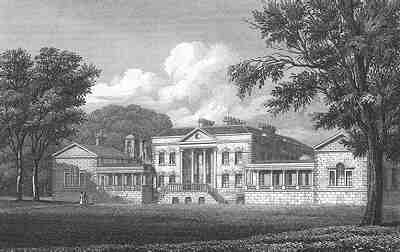
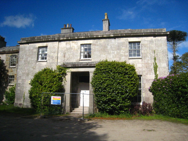
Carclew House
Carclew House, one of Britain's lost houses, was a large Palladian country house near Mylor in Cornwall, England, United Kingdom. It was situated at grid...

Mylor Bridge
Mylor Bridge (Cornish: Ponsnowyth) is a village in Cornwall, England, United Kingdom. It is in Mylor civil parish at the head of Mylor Creek, about five...

Carnon River
The Carnon River (Cornish: Avon Carnon) is a heavily polluted river in Cornwall, England, United Kingdom. It starts in Chacewater. Trewedna Water and River...
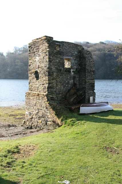
Carnon Mine
Carnon Mine was a tin mine at Restronguet Creek, near the village of Devoran in Cornwall, England. A ruined engine house survives on the north bank of...

Restronguet Passage
Restronguet Passage is a coastal hamlet in Cornwall, England, United Kingdom. It is situated on the south bank of Restronguet Creek one mile north of Mylor...
Devoran
Devoran (Cornish: Deveryon) is a village in south Cornwall, England, United Kingdom. It is 4 miles (6.4 km) southwest of Truro at grid reference SW 793...

Chycoose
Chycoose (Cornish: Chy'n Coos, meaning house of the wood), Point and Penpol (Cornish: Pen Pol, meaning head of a creek) form a coastal settlement around...
Nearby Amenities
Located within 500m of 50.194549,-5.088862Have you been to Angarrick?
Leave your review of Angarrick below (or comments, questions and feedback).