Angarrack
Settlement in Cornwall
England
Angarrack
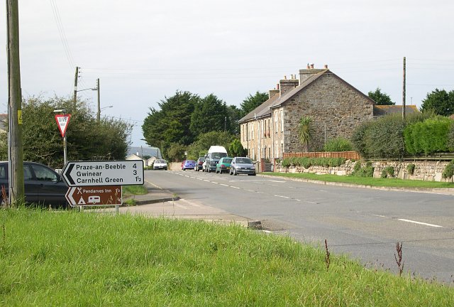
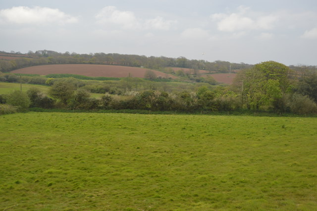
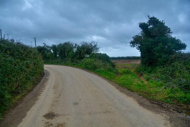
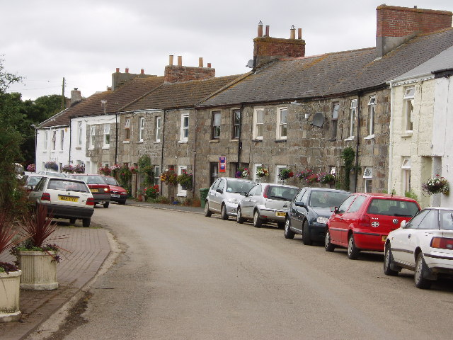
Angarrack is a small village located in Cornwall, England. Situated about three miles east of the popular seaside town of Hayle, Angarrack is nestled in a picturesque valley along the banks of the River Hayle.
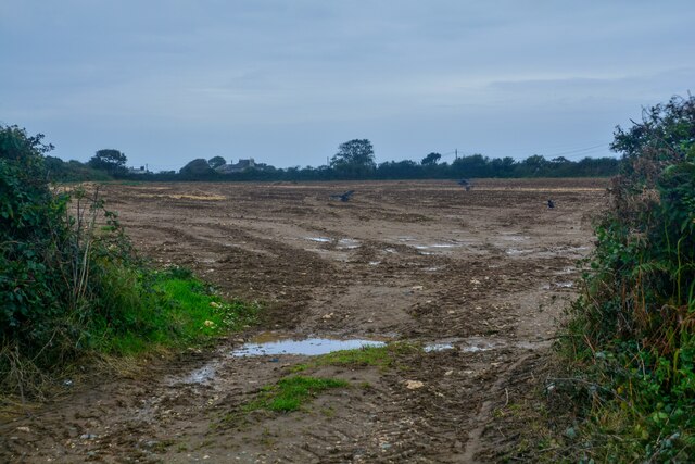
The village is known for its rich history, with evidence of human settlement dating back to the Neolithic period. In the past, Angarrack was primarily an agricultural community, with farming and mining being the main sources of income for the residents. Today, it retains its rural charm and peaceful ambiance.
Angarrack is home to a tight-knit community that takes pride in its local traditions and events. One of the most famous events is the Angarrack Christmas Lights, which attract visitors from near and far. Each year, the village is adorned with a spectacular display of festive lights, illuminating the streets and creating a magical atmosphere.
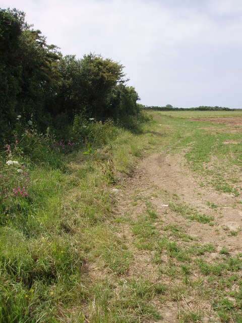
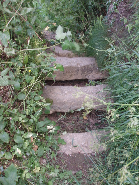
Despite its small size, Angarrack offers several amenities to its residents and visitors. The village has a pub, The Angarrack Inn, where visitors can enjoy a drink and a meal in a friendly and welcoming setting. Additionally, there are various walking trails in the surrounding countryside, providing opportunities for outdoor enthusiasts to explore the beautiful Cornish landscape.
Overall, Angarrack is a charming village that combines its rich history with a strong sense of community. With its beautiful surroundings, local events, and friendly atmosphere, it is a hidden gem for those seeking a peaceful retreat in the heart of Cornwall.
If you have any feedback on the listing, please let us know in the comments section below.
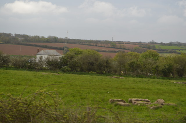
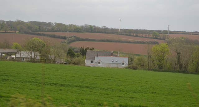
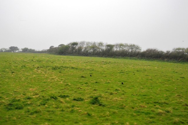
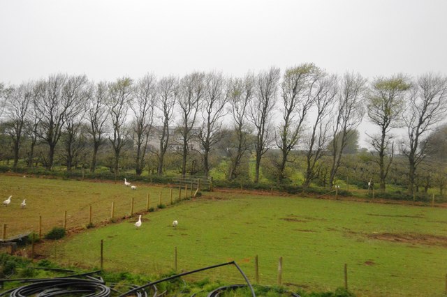
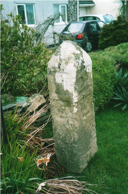
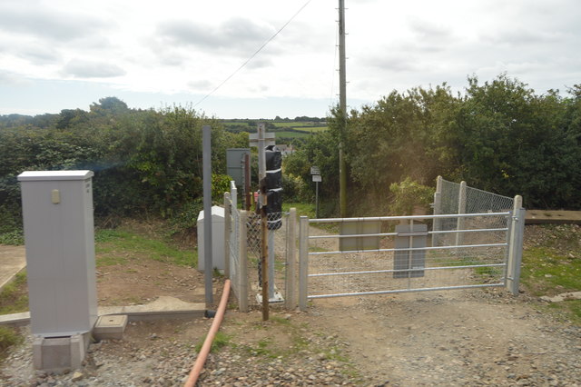
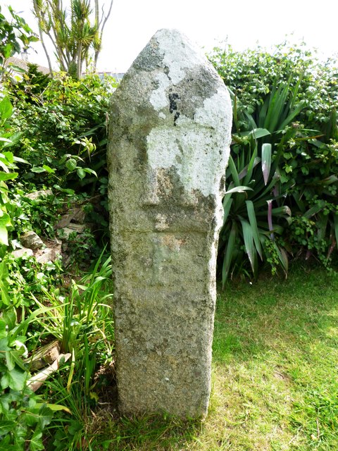
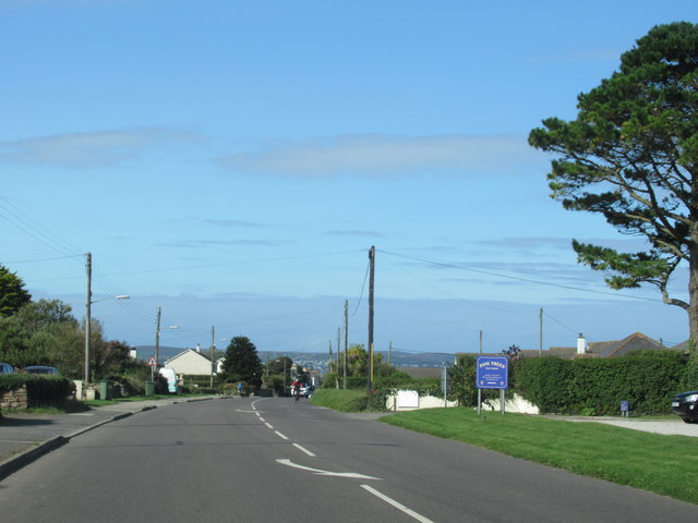
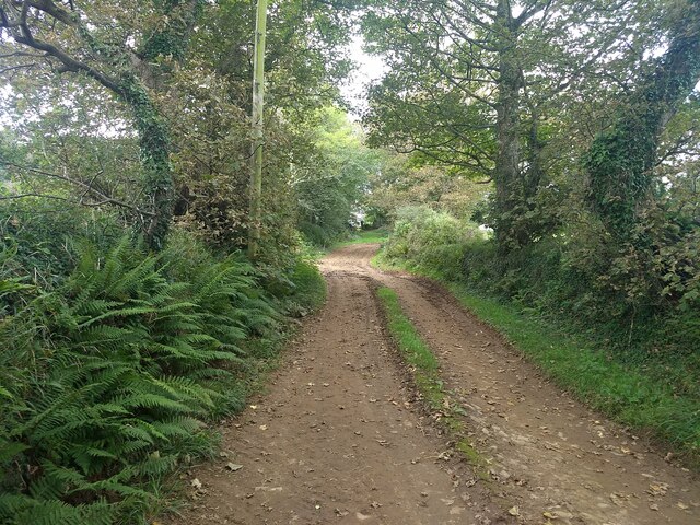
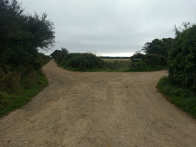
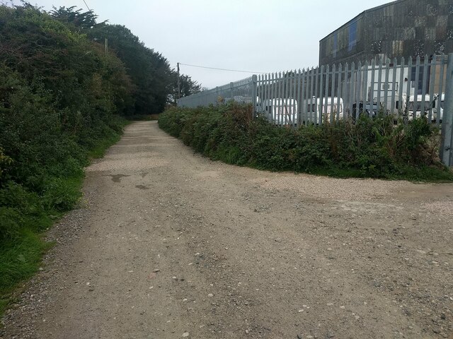
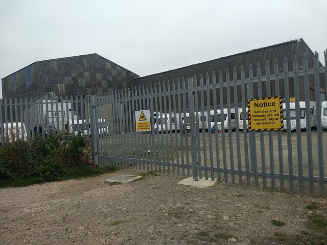
Angarrack Images
Images are sourced within 2km of 50.193975/-5.383675 or Grid Reference SW5838. Thanks to Geograph Open Source API. All images are credited.
Angarrack is located at Grid Ref: SW5838 (Lat: 50.193975, Lng: -5.383675)
Unitary Authority: Cornwall
Police Authority: Devon and Cornwall
What 3 Words
///boating.publish.shelving. Near Hayle, Cornwall
Nearby Locations
Related Wikis

Angarrack viaduct
Angarrack railway viaduct crosses the valley of the Angarrack River at Angarrack in west Cornwall, England, United Kingdom. == Geography == The eleven...
Angarrack
Angarrack (Cornish: An Garrek) is a village in west Cornwall, England, UK. It is in the parish of Gwinear-Gwithian a mile to the east of Hayle. Immediately...
Gwinear, Cornwall
Gwinear (Cornish: Gwynnyer) is a small village and former civil parish, now in the parish of Gwinear-Gwithian, in the Cornwall district, in west Cornwall...
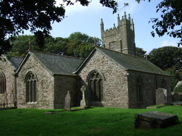
St Gwinear's Church, Gwinear
St Gwinear's Church, Gwinear is a Grade I listed church in the Church of England in Gwinear, Cornwall. == History == Gwinear church is dedicated to St...

Loggans Moor
Loggans Moor is a nature reserve and Site of Special Scientific Interest, noted for its biological characteristics, in west Cornwall, England, UK. It is...

Wheal Alfred
Wheal Alfred is the site of a former copper and lead mine and a designated Site of Special Scientific Interest (SSSI) in west Cornwall, England, UK. The...

Connor Downs
Connor Downs (Cornish: Goongoner) is a village in west Cornwall, England, United Kingdom, in the civil parish of Gwinear-Gwithian. It is situated approximately...

Copperhouse
Copperhouse is an eastern suburb of Hayle in west Cornwall, England. It grew up around the Copperhouse Foundry, which was run by Sandys, Carne and Vivian...
Nearby Amenities
Located within 500m of 50.193975,-5.383675Have you been to Angarrack?
Leave your review of Angarrack below (or comments, questions and feedback).