Church End
Settlement in Bedfordshire
England
Church End

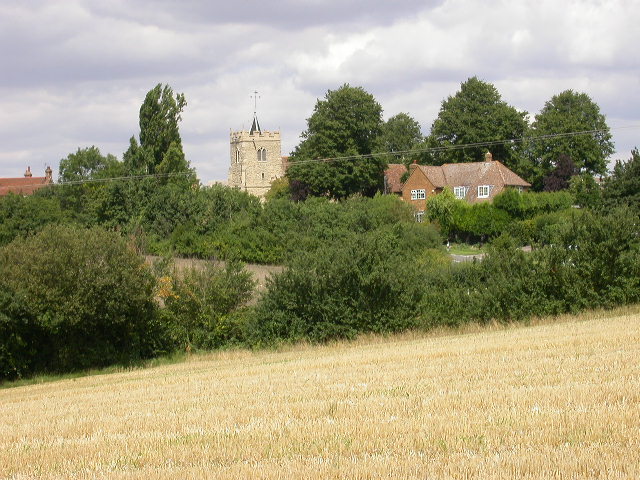
Church End is a picturesque village located in the county of Bedfordshire, England. Situated near the town of Arlesey, it is a rural settlement that offers a tranquil and idyllic lifestyle to its residents.
The village gets its name from the presence of St. Mary's Church, a historic and prominent structure that dominates the landscape. Dating back to the 12th century, the church is an architectural gem, known for its stunning stained glass windows and intricate stonework. It serves as a focal point and gathering place for the local community.
The village itself is characterized by charming cottages and well-maintained gardens, creating a pleasant and welcoming atmosphere. The streets are lined with trees, adding to the overall beauty of the area. The village green is a popular spot for residents to relax and enjoy the outdoors.
Although small in size, Church End boasts a strong sense of community. Local events and activities, such as fairs and festivals, often take place throughout the year, providing opportunities for residents to come together and socialize. The village also has a primary school, ensuring that families have access to quality education for their children.
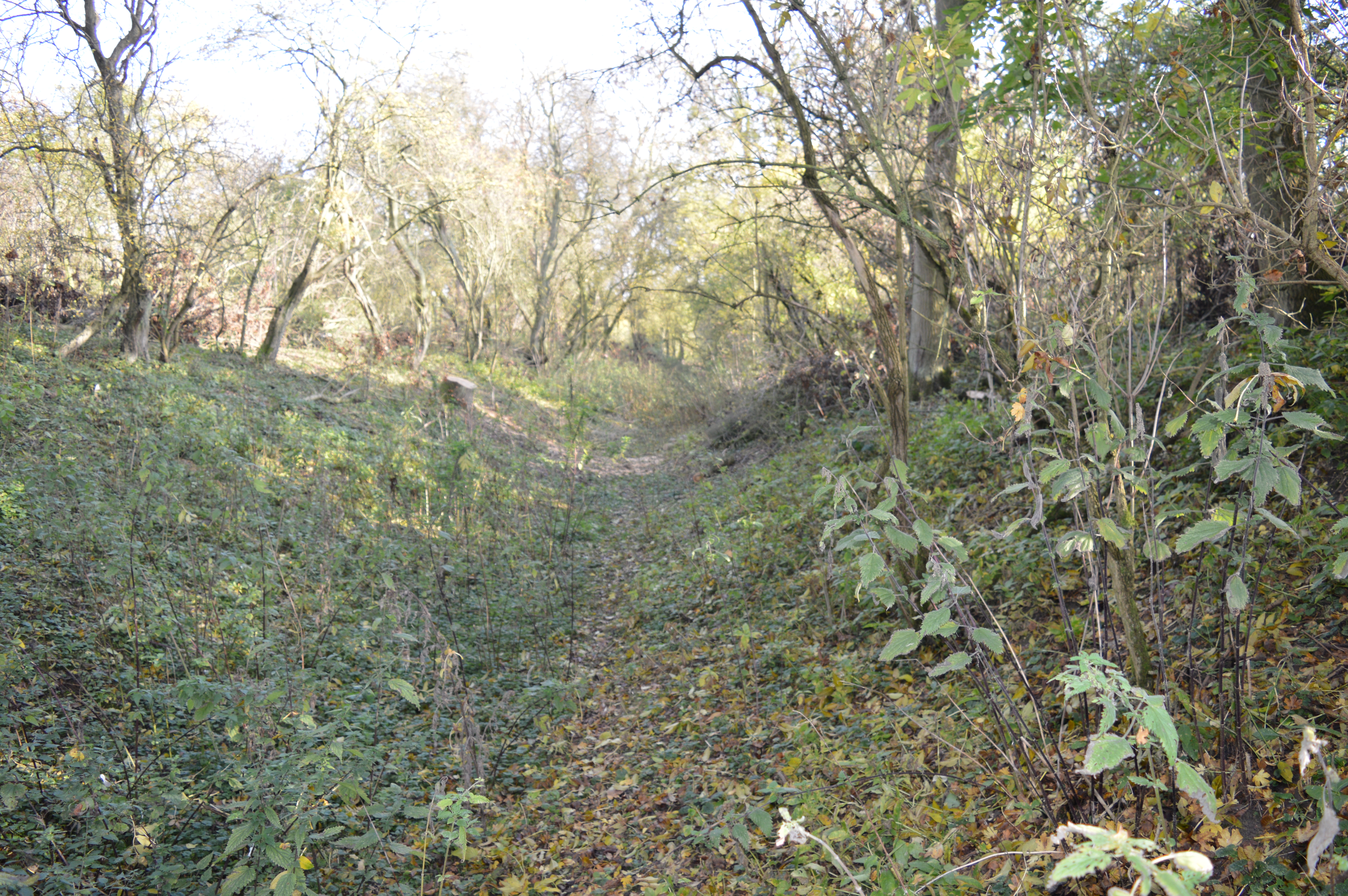
Surrounded by rolling countryside, Church End offers easy access to scenic walking trails and nature reserves. This makes it an ideal location for those who enjoy outdoor activities and appreciate the beauty of the English countryside.
Overall, Church End, Bedfordshire, is a charming and close-knit village that provides a peaceful and picturesque setting for its residents, while still offering convenient access to nearby towns and amenities.
If you have any feedback on the listing, please let us know in the comments section below.
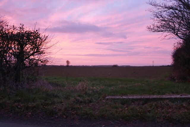
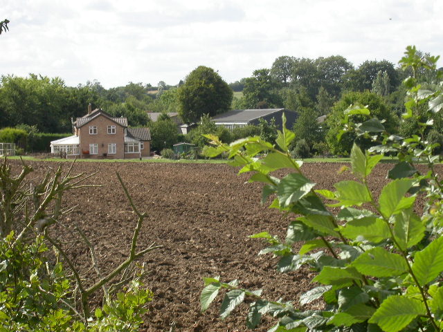
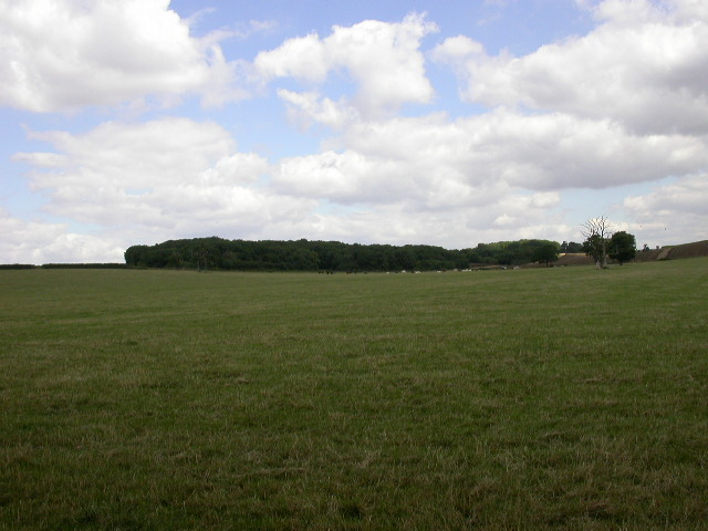
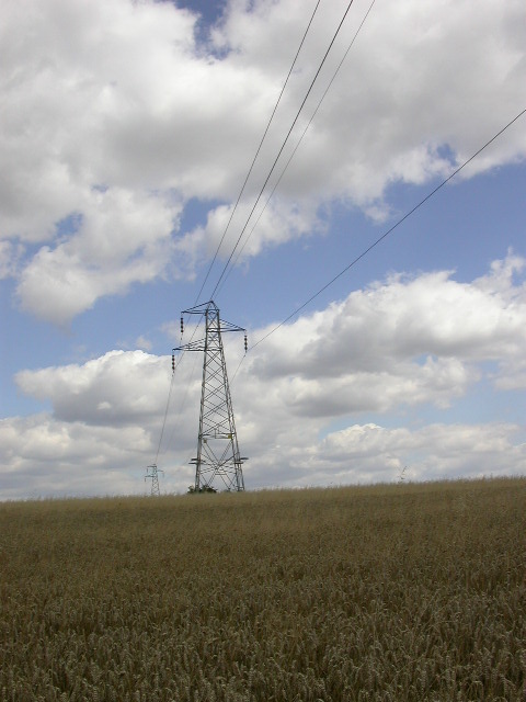
Church End Images
Images are sourced within 2km of 52.17631/-0.424542 or Grid Reference TL0754. Thanks to Geograph Open Source API. All images are credited.


Church End is located at Grid Ref: TL0754 (Lat: 52.17631, Lng: -0.424542)
Unitary Authority: Bedford
Police Authority: Bedfordshire
What 3 Words
///dream.cookbooks.bonkers. Near Wilden, Bedfordshire
Nearby Locations
Related Wikis
Church of All Saints, Ravensden
Church of All Saints is a Grade I listed church in Ravensden, Bedfordshire, England. It became a listed building on 13 July 1964. == See also == Grade...
Ravensden
Ravensden is a village and civil parish located in the Borough of Bedford in Bedfordshire, England. The parish borders the town of Bedford, with Mowsbury...

Salph End
Salph End is a village located in the Borough of Bedford in Bedfordshire, England. Officially, Salph End is one of the hamlets (or "Ends") of Renhold,...
Mowsbury Hill
Mowsbury Hill is a 2.8 hectare Local Nature Reserve and Scheduled Monument in north Bedford. It is owned and managed by Bedford Borough Council with the...
Nearby Amenities
Located within 500m of 52.17631,-0.424542Have you been to Church End?
Leave your review of Church End below (or comments, questions and feedback).