Church End

Settlement in Bedfordshire

England

Church End

Backnoe End Equestrian Centre
Backnoe End Equestrian Centre Credit: JThomas

Church End is a small village located in the county of Bedfordshire, England. Situated approximately 5 miles northwest of the town of Bedford, this rural settlement is known for its charm, tranquility, and picturesque surroundings.

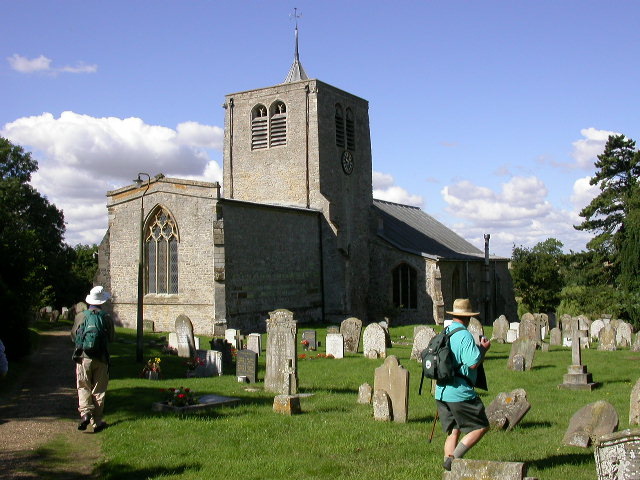
The village is named after its prominent feature, the Church of St. Mary the Virgin, a beautiful Grade I listed building that dates back to the 13th century. This historic church serves as the focal point of the community, with regular services and various events taking place throughout the year.

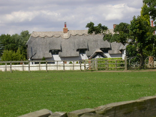
Surrounded by rolling fields and green landscapes, Church End offers a peaceful and idyllic setting. The village is primarily residential, with a mix of traditional cottages and larger family homes, often adorned with colorful gardens and well-maintained lawns.

Despite its small size, Church End is well-connected to nearby towns and cities. The A428 road runs close to the village, providing easy access to Bedford and neighboring areas. Additionally, the village has a reliable bus service that connects residents to Bedford and other surrounding villages.

While Church End does not have its own shops or amenities, residents can find all necessary facilities in the nearby town of Bedford, including supermarkets, shops, restaurants, and healthcare services. The village does, however, boast a friendly and close-knit community, with various social events and gatherings taking place throughout the year.

Overall, Church End offers a quaint and peaceful countryside living experience, making it a desirable place for those seeking a rural escape.

If you have any feedback on the listing, please let us know in the comments section below.
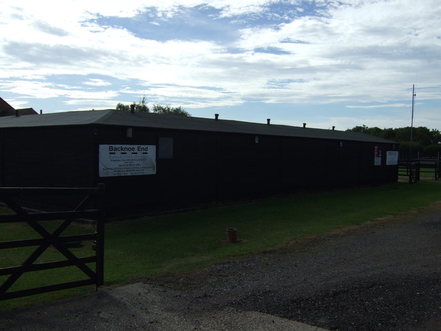
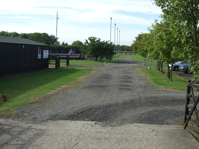
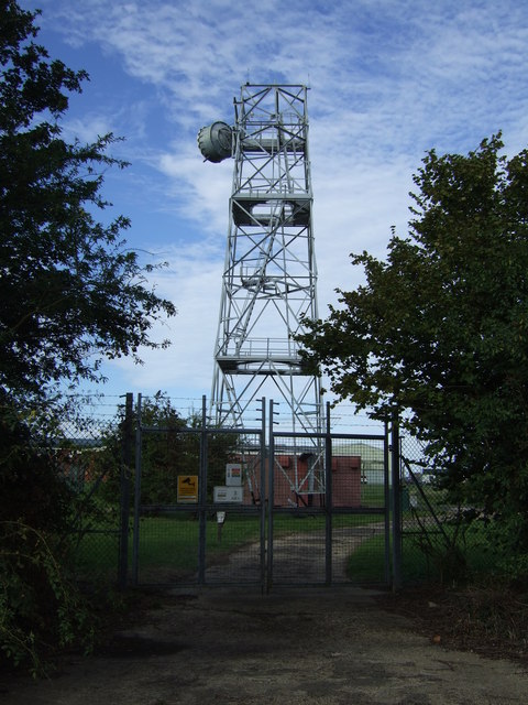
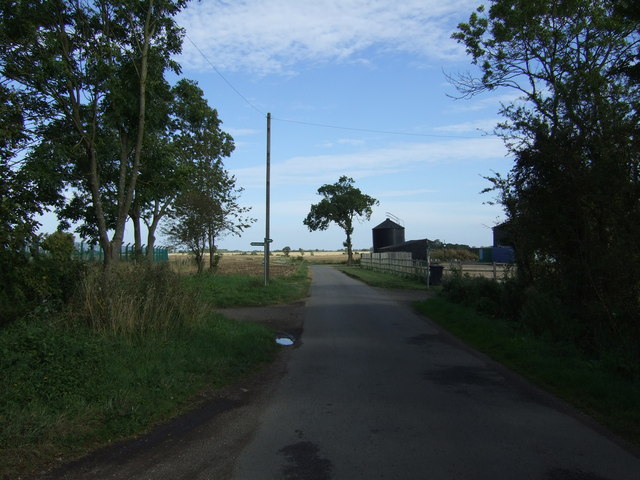
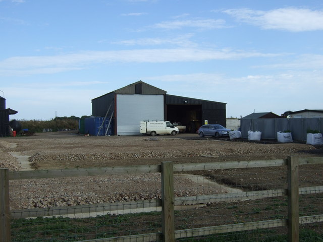
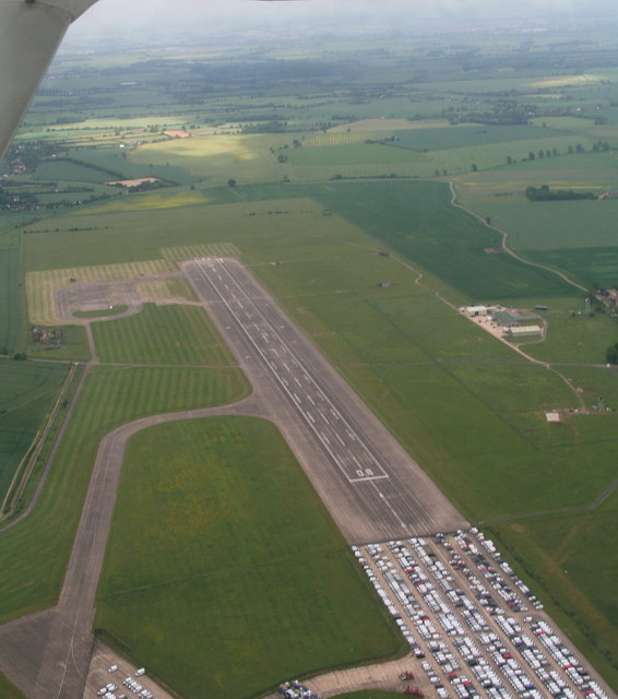
Church End Images

Images are sourced within 2km of 52.215281/-0.463638 or Grid Reference TL0558. Thanks to Geograph Open Source API. All images are credited.

Backnoe End Equestrian Centre
Communications Mast Off Keysoe Road.
Communications Mast
Off Keysoe Road.
Keysoe Road Heading east.
Keysoe Road
Heading east.
College Farm
College Farm
Bedford Aerodrome: aerial 2015 Former R.A.F. Bedford has had many uses, including the storage of cars. However part of the runway is now a licensed aerodrome in general use.
Bedford Aerodrome: aerial 2015
Former R.A.F. Bedford has had many uses, including the storage of cars. However part of the runway is now a licensed aerodrome in general use.
Thurleigh Road, Bletsoe
RAE Bedford Originally opened as RAF Thurleigh, this airfield became the testing ground of the Royal Aircraft Establishment and was still in use when this photo was taken.   The main runway was extended to its present length to accommodate the Bristol Brabazon airliner, which needed a lot of runway to get airborne.  The RAE consolidated its resources at Boscombe down and the airfield closed in 1994.  Once proposed as another airport for London, it is now a business park and new vehicle store.
RAE Bedford
Originally opened as RAF Thurleigh, this airfield became the testing ground of the Royal Aircraft Establishment and was still in use when this photo was taken. The main runway was extended to its present length to accommodate the Bristol Brabazon airliner, which needed a lot of runway to get airborne. The RAE consolidated its resources at Boscombe down and the airfield closed in 1994. Once proposed as another airport for London, it is now a business park and new vehicle store.
Thurleigh Airfield Looking from the bridleway in TL0559.
Thurleigh Airfield
Looking from the bridleway in TL0559.
Thurleigh Village Hall The Hall is on the main street through Thurleigh.
Thurleigh Village Hall
The Hall is on the main street through Thurleigh.
St Peters Church, Thurleigh The earliest remaining part of the church is of the early C12th. Further building work took place in the 13th, 14th and 15th Centuries.
St Peters Church, Thurleigh
The earliest remaining part of the church is of the early C12th. Further building work took place in the 13th, 14th and 15th Centuries.
Long View, Red Gate Farm Early August - harvest is already in.
Long View, Red Gate Farm
Early August - harvest is already in.
Park End Farm House Taken from a bridleway to the west.
Park End Farm House
Taken from a bridleway to the west.
Cross End Shot taken from a track just south of the road that runs through the hamlet.
Cross End
Shot taken from a track just south of the road that runs through the hamlet.
Thurleigh Windmill Remodelled as a residence.
Thurleigh Windmill
Remodelled as a residence.
The Jackal Thurleigh's pub
The Jackal
Thurleigh's pub
Thurleigh WWII USA Memorial Situated on Keysoe Road on the outskirts of Thurleigh is this memorial to the Air Ground and Support Personnel of Station III of the 306th Bombardment Group (Heavy). Many of the old airfield building and shelters are still visible but mostly derelict.

Update: A site visitor has informed us that the memorial was relocated to the 306th Museum on Thurleigh Airfield <a href="https://www.geograph.org.uk/photo/1832127">TL0360 : 306th Bombardment Group Museum</a> and rededicated in July 2012. and that the buildings behind the memorial were demolished around 2009/2010 because they were unsafe.
Thurleigh WWII USA Memorial
Situated on Keysoe Road on the outskirts of Thurleigh is this memorial to the Air Ground and Support Personnel of Station III of the 306th Bombardment Group (Heavy). Many of the old airfield building and shelters are still visible but mostly derelict. Update: A site visitor has informed us that the memorial was relocated to the 306th Museum on Thurleigh Airfield TL0360 : 306th Bombardment Group Museum and rededicated in July 2012. and that the buildings behind the memorial were demolished around 2009/2010 because they were unsafe.
Thurleigh Airfield WWII Shelter Situated just 30 yards from the Thurleigh to Keysoe road in what would have been the old WWII airfield is this crumbling shelter
Thurleigh Airfield WWII Shelter
Situated just 30 yards from the Thurleigh to Keysoe road in what would have been the old WWII airfield is this crumbling shelter
Show me another place!

Church End is located at Grid Ref: TL0558 (Lat: 52.215281, Lng: -0.463638)

Unitary Authority: Bedford

Police Authority: Bedfordshire

What 3 Words

///active.employers.dealings. Near Riseley, Bedfordshire

Related Wikis

Thurleigh Castle

Thurleigh Castle, also known as Bury Hills, was a medieval castle in the civil parish of Thurleigh, in the county of Bedfordshire, England. == Details... ==

Thurleigh

Thurleigh is a village and civil parish in the Borough of Bedford, north Bedfordshire, England, situated around 5 miles (8.0 km) north of Bedford town...
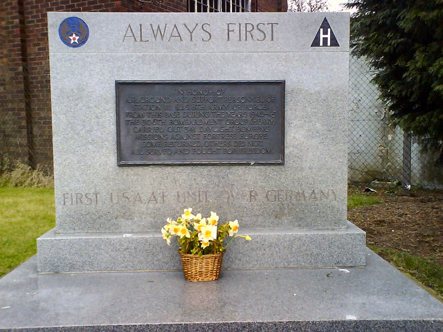
RAF Thurleigh

Royal Air Force Thurleigh or more simply RAF Thurleigh is a former Royal Air Force station located 5 miles (8.0 km) north of Bedford, Bedfordshire, England...

RAE Bedford

RAE Bedford was a research site of the Royal Aircraft Establishment between 1946 and 1994. It was located near the village of Thurleigh, north of the town...

Nearby Amenities

Located within 500m of 52.215281,-0.463638
Thurleigh
Is In: Bedfordshire
Place: village
Wikidata: Q406914
Wikipedia: en:Thurleigh
Lat/Long: 52.2152272/-0.4596295
Thurleigh
Man Made: windmill
Lat/Long: 52.2119757/-0.4681226
Church End
Place: locality
Source: OS first series
Lat/Long: 52.2150484/-0.465679
Post Office
Thurleigh Mobile Service
Addr City: Thurleigh
Addr Country: GB
Addr Housename: Thurleigh Village Hall
Addr Postcode: MK44 2DS
Addr Street: High Street
Source: OS_OpenData_StreetView
Lat/Long: 52.2152295/-0.4599012
Post Box
Collection Times: Mo-Fr 09:00; Sa 07:00
Operator: Royal Mail
Post Box Type: lamp
Ref: MK44 129D
Royal Cypher: EIIR
Royal Cypher Wikidata: Q33102113
Source: survey
Survey Date: 2016-04-30
Lat/Long: 52.2148534/-0.4641013
Post Box
Collection Times: Mo-Fr 16:00; Sa 10:15
Operator: Royal Mail
Post Box Type: lamp
Ref: MK44 279
Royal Cypher: EIIR
Royal Cypher Wikidata: Q33102113
Source: survey
Survey Date: 2016-04-30
Lat/Long: 52.2149648/-0.4588696
Defibrillator
Emergency: defibrillator
Lat/Long: 52.2151042/-0.4599049
The data included in this document is from www.openstreetmap.org. The data is made available under ODbL.

Have you been to Church End?

Leave your review of Church End below (or comments, questions and feedback).