Church End

Settlement in Hertfordshire

England

Church End

Path through the woods The pathway through the woods at the foot of Codlings Bank below Kensworth Quarry.
Path through the woods Credit: Bob Walters

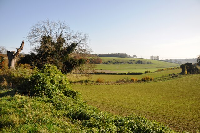
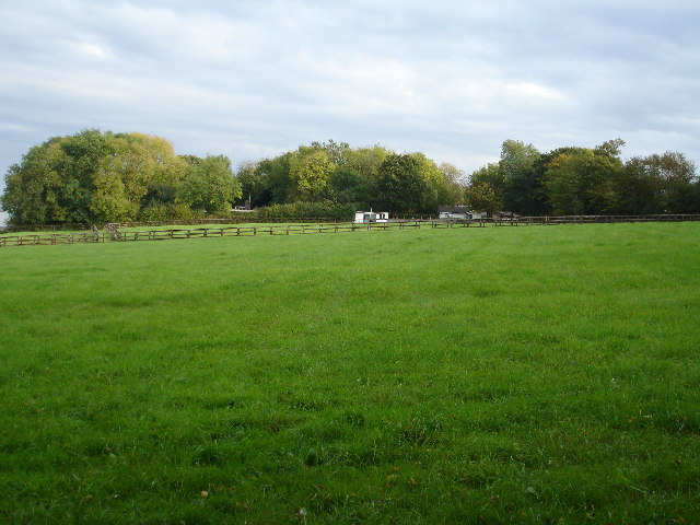
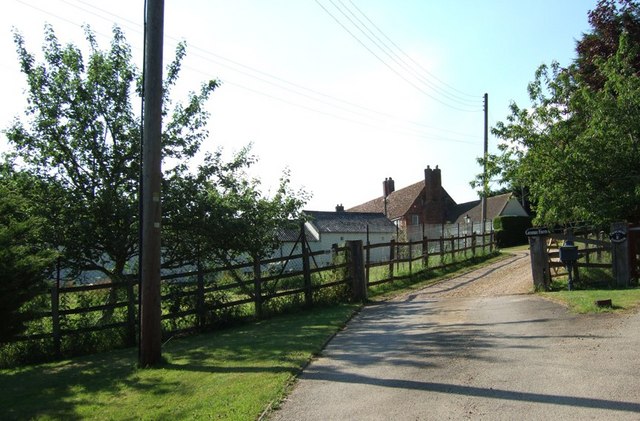
Church End is a small village located in the county of Hertfordshire, England. Situated approximately 30 miles north of London, it falls within the local government district of North Hertfordshire. The village is characterized by its picturesque rural setting, surrounded by beautiful countryside and farmland.

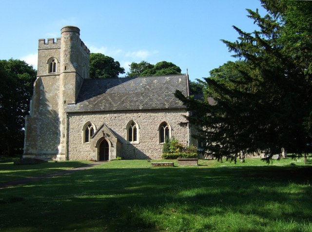
The heart of Church End is its historic church, St. Mary the Virgin, which dates back to the 12th century. This ancient building is a prominent landmark in the area and attracts visitors interested in its architectural and historical significance. The churchyard is a peaceful spot, offering a tranquil retreat for reflection and contemplation.

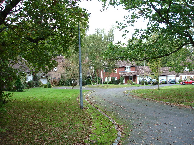
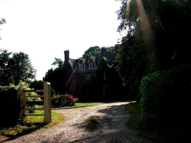
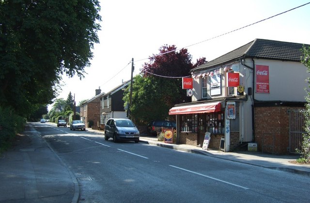
The village itself is home to a close-knit community of residents who enjoy a peaceful and traditional way of life. The houses in Church End are predominantly charming cottages and historic properties, adding to the area's quaint and idyllic atmosphere. While there are limited amenities directly within the village, nearby towns and villages offer a range of services and facilities, including schools, shops, and recreational activities.

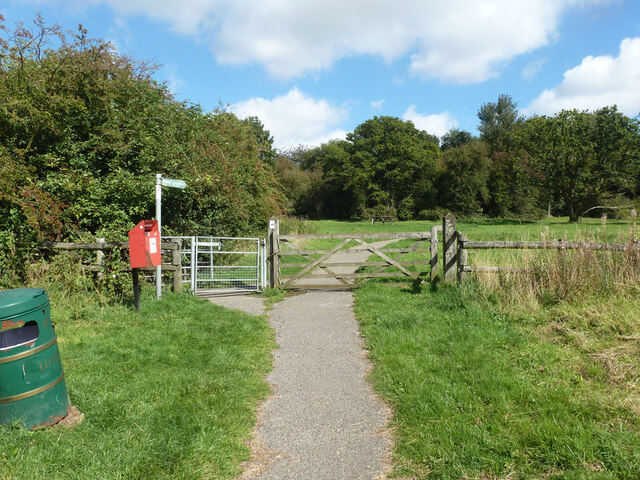
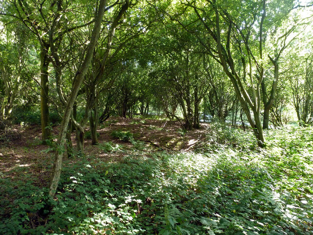
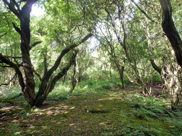
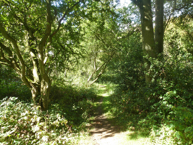
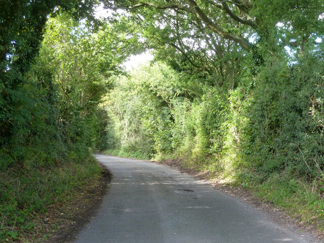
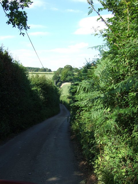
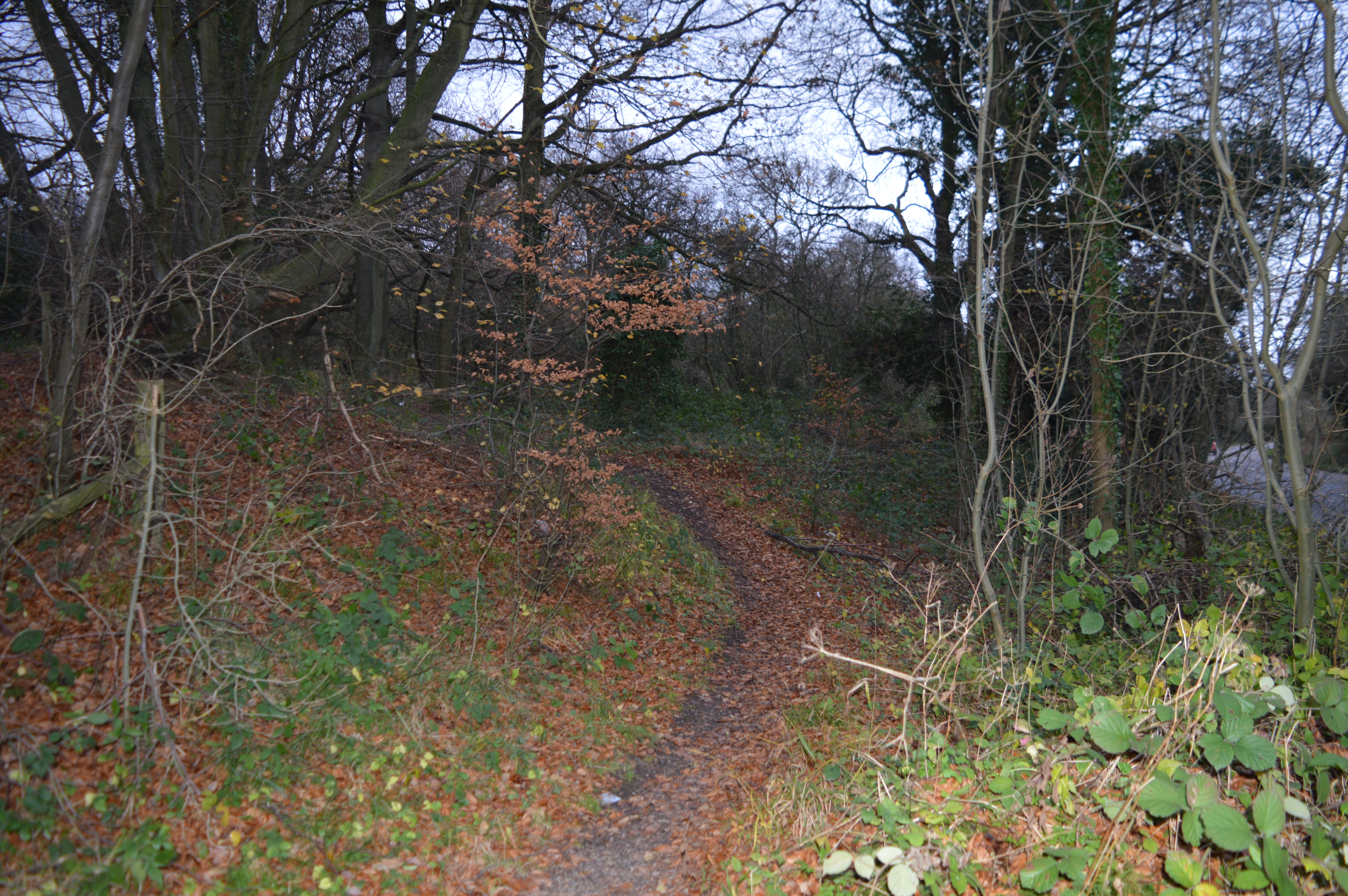
The surrounding countryside provides ample opportunities for outdoor pursuits, such as walking, cycling, and horse riding. Church End benefits from its proximity to several nature reserves and green spaces, making it an ideal location for those seeking a connection with nature.

Overall, Church End offers a serene and bucolic lifestyle, combining history, natural beauty, and a strong sense of community. It is a place that appeals to those seeking a peaceful retreat away from the hustle and bustle of urban life.

If you have any feedback on the listing, please let us know in the comments section below.
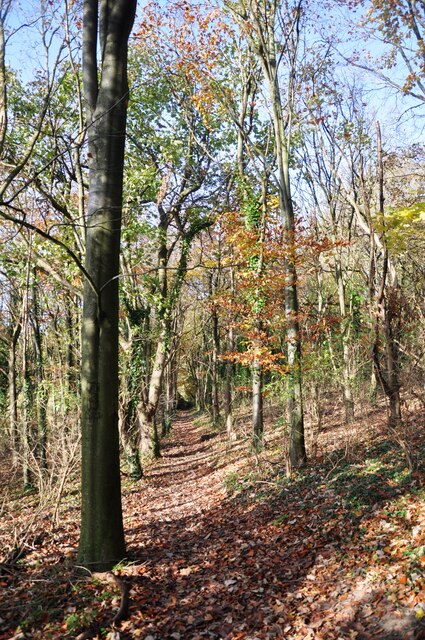
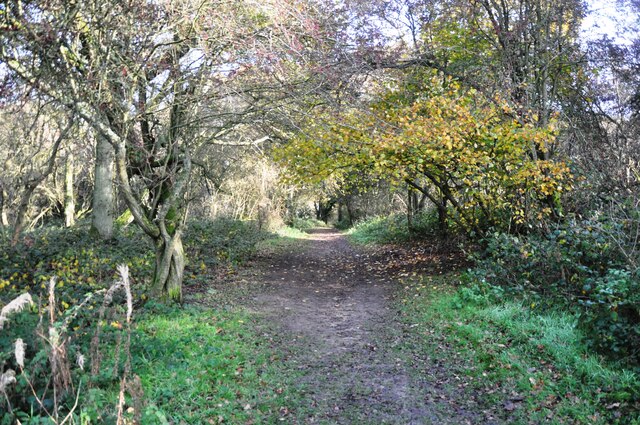
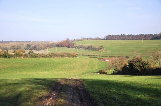
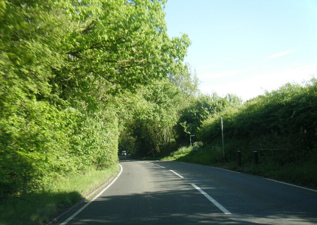
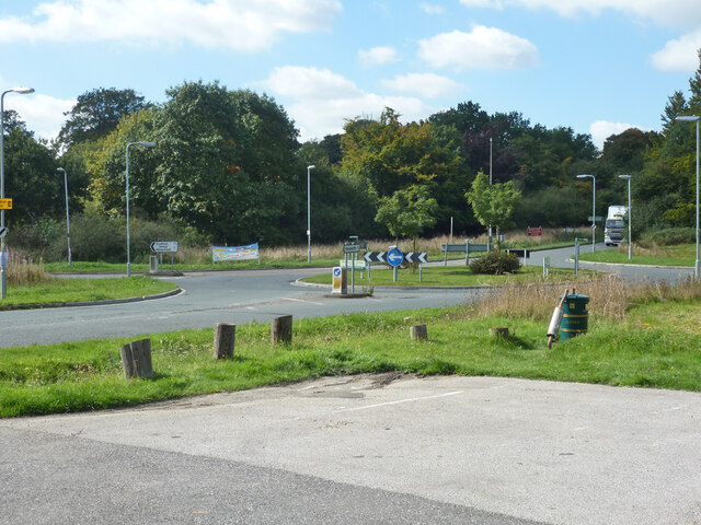
Church End Images

Images are sourced within 2km of 51.860089/-0.5057153 or Grid Reference TL0319. Thanks to Geograph Open Source API. All images are credited.

Path through the woods The pathway through the woods at the foot of Codlings Bank below Kensworth Quarry.
Path through the woods
The pathway through the woods at the foot of Codlings Bank below Kensworth Quarry.
Footpath through Whipsnade Heath Woods The path goes uphill through the woods towards Kensworth.
Footpath through Whipsnade Heath Woods
The path goes uphill through the woods towards Kensworth.
Codlings Bank Looking across from Nash farm towards Codlings Bank in the distance
Codlings Bank
Looking across from Nash farm towards Codlings Bank in the distance
B4541 near Allcroft Wood
View towards Codlings Bank A view east from near Slough Wood towards Codlings Bank.
View towards Codlings Bank
A view east from near Slough Wood towards Codlings Bank.
Path onto Whipsnade Heath Although mostly secondary woodland, there is a pleasant open area with a picnic table.
Path onto Whipsnade Heath
Although mostly secondary woodland, there is a pleasant open area with a picnic table.
Woodland, Whipsnade Heath Most of the heath is now this sort of woodland.
Woodland, Whipsnade Heath
Most of the heath is now this sort of woodland.
Woodland, Whipsnade Heath Most of the heath is now this sort of woodland.
Woodland, Whipsnade Heath
Most of the heath is now this sort of woodland.
Woodland, Whipsnade Heath
B4540 / B4541 roundabout, Whipsnade Heath
Isle of Wight Lane Presumably named after Isle of Wight Farm - rather short of a full explanation!
Isle of Wight Lane
Presumably named after Isle of Wight Farm - rather short of a full explanation!
Over the fields towards Buckwood Lane. Near the road this land has been used for horses.  Here it seems to be plain old meadow.
Over the fields towards Buckwood Lane.
Near the road this land has been used for horses. Here it seems to be plain old meadow.
Holywell Large houses in a relatively modern estate in a relatively modern village.  From what I could see this village lacks most of the things that define a village, pub church, shop, cricket pitch.  Ah nostalgia ain't what it used to be.
Holywell
Large houses in a relatively modern estate in a relatively modern village. From what I could see this village lacks most of the things that define a village, pub church, shop, cricket pitch. Ah nostalgia ain't what it used to be.
Kensworth chalk quarry Actually, this spreads across four squares.  This is the area used for processing  I think.
Kensworth chalk quarry
Actually, this spreads across four squares. This is the area used for processing I think.
Hollick's Lane, Kensworth This lane leads from the main part of Kensworth Village to the church (Church End). The lane first drops down a fairly steep hill then rises up again - this is looking down into the dip. It's a very narrow lane without many passing places, so I'm glad I met nothing coming the other way.
Hollick's Lane, Kensworth
This lane leads from the main part of Kensworth Village to the church (Church End). The lane first drops down a fairly steep hill then rises up again - this is looking down into the dip. It's a very narrow lane without many passing places, so I'm glad I met nothing coming the other way.
Grange Farm, Kensworth On the 1:25000 map only Churchend Farm is mentioned, but there are in fact two farms here it would seem, the aforementioned Churchend Farm and the one pictured here, Grange Farm. They both just sneak into the extreme southeast corner of the gridsquare.
Grange Farm, Kensworth
On the 1:25000 map only Churchend Farm is mentioned, but there are in fact two farms here it would seem, the aforementioned Churchend Farm and the one pictured here, Grange Farm. They both just sneak into the extreme southeast corner of the gridsquare.
St. Mary the Virgin, Kensworth The lovely parish church of St.Mary the Virgin is at Church End in Kensworth quite a little way from the main part of Kensworth village. It is a very tranquil and beautiful spot, quite a contrast to the busy road through the main part of the village.
St. Mary the Virgin, Kensworth
The lovely parish church of St.Mary the Virgin is at Church End in Kensworth quite a little way from the main part of Kensworth village. It is a very tranquil and beautiful spot, quite a contrast to the busy road through the main part of the village.
The Vicarage, Kensworth A good half mile from <a href="https://www.geograph.org.uk/photo/193370">TL0319 : St. Mary the Virgin, Kensworth</a>, down Spratts Lane is the vicarage. It is a substantial victorian building in wooded grounds.
The Vicarage, Kensworth
A good half mile from TL0319 : St. Mary the Virgin, Kensworth, down Spratts Lane is the vicarage. It is a substantial victorian building in wooded grounds.
Show me another place!

Church End is located at Grid Ref: TL0319 (Lat: 51.860089, Lng: -0.5057153)

Unitary Authority: Central Bedfordshire

Police Authority: Bedfordshire

What 3 Words

///expand.before.soak. Near Kensworth, Bedfordshire

Nearby Locations

Church End

Related Wikis

Church of St Mary, Kensworth

The Church of St Mary the Virgin is a Grade I listed church in Kensworth, Bedfordshire, England. It became a listed building on 3 February 1967. ��2...
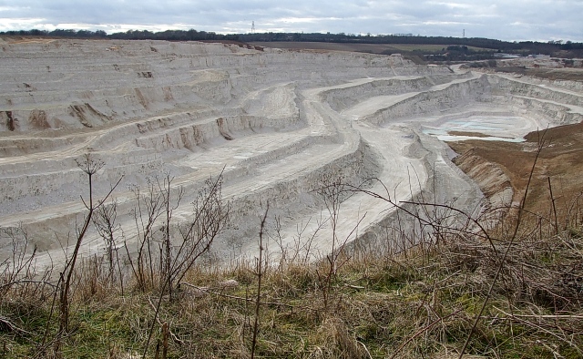
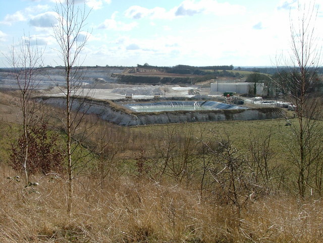
Kensworth Chalk Pit

Kensworth Chalk Quarry is a 131.3-hectare (324-acre) geological Site of Special Scientific Interest in Kensworth in Bedfordshire. It was notified under...

Kensworth

Kensworth is a village and civil parish located in the Central Bedfordshire district of Bedfordshire, England. The parish is located on the edge of Dunstable...

Landpark Wood

Landpark Wood is a 3.6-hectare (8.9-acre) nature reserve near Whipsnade in Bedfordshire. It is managed by the Wildlife Trust for Bedfordshire, Cambridgeshire...

Nearby Amenities

Located within 500m of 51.860089,-0.5057153
Church End
Created By: Potlatch 0.8b
Is In: Bedfordshire
Place: hamlet
Lat/Long: 51.8600296/-0.5029228
Power: tower
Lat/Long: 51.8588848/-0.5074404
Ele: 207.048095703125
Lat/Long: 51.862645/-0.5081631
Power: tower
Lat/Long: 51.8587168/-0.5055956
Power: tower
Lat/Long: 51.8591607/-0.5108322
Post Box
Collection Times: Mo-Fr 16:45; Sa 07:30
Operator: Royal Mail
Ref: LU6 22
Source: survey
Lat/Long: 51.8596026/-0.5031922
Power: pole
Lat/Long: 51.859775/-0.4999933
Power: pole
Lat/Long: 51.8611168/-0.501321
Power: pole
Lat/Long: 51.8626374/-0.5020317
Power: pole
Lat/Long: 51.8636892/-0.5025521
Power: pole
Lat/Long: 51.8589153/-0.5002829
Power: pole
Lat/Long: 51.8587264/-0.5012861
Power: pole
Lat/Long: 51.8588391/-0.5025762
Power: pole
Lat/Long: 51.8591141/-0.5035365
Power: pole
Lat/Long: 51.8598877/-0.5063099
Power: pole
Lat/Long: 51.8602687/-0.5076724
Power: pole
Lat/Long: 51.8607341/-0.5089679
Power: pole
Lat/Long: 51.8610671/-0.5106363
Power: pole
Lat/Long: 51.8608931/-0.5122268
Power: tower
Lat/Long: 51.8586972/-0.5035006
Power: tower
Lat/Long: 51.858658/-0.5003292
The data included in this document is from www.openstreetmap.org. The data is made available under ODbL.

Have you been to Church End?

Leave your review of Church End below (or comments, questions and feedback).