Anelog
Settlement in Caernarfonshire
Wales
Anelog
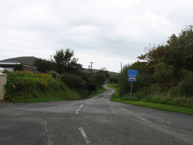
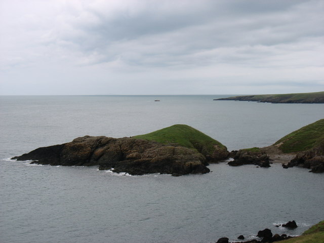
Anelog is a small village located in the county of Caernarfonshire, in northwestern Wales. Situated on the Llŷn Peninsula, it lies approximately 8 miles southwest of Pwllheli and 21 miles west of Caernarfon. Anelog is a rural community that offers a peaceful and picturesque setting, surrounded by the stunning natural beauty of the Welsh countryside.
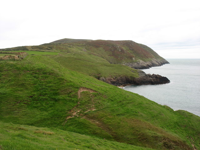
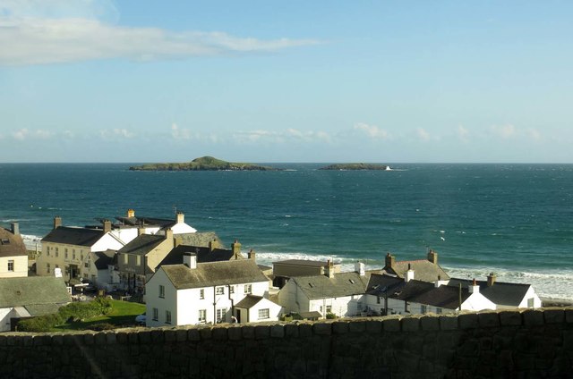
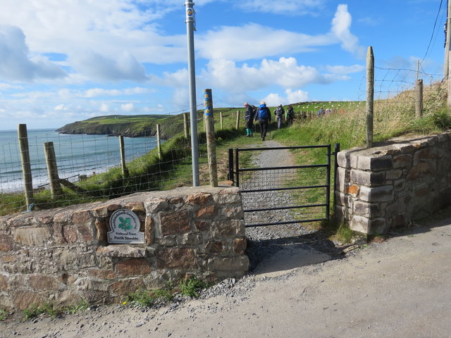
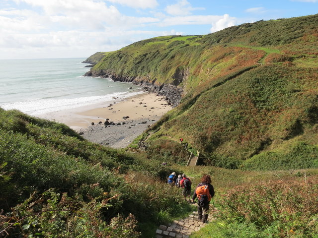
The village is known for its close proximity to the renowned Porth Neigwl, also known as Hell's Mouth, a popular destination for surfers and beach lovers. The sandy beach stretches for miles and is a great spot for long walks, picnics, and enjoying the sound of crashing waves.
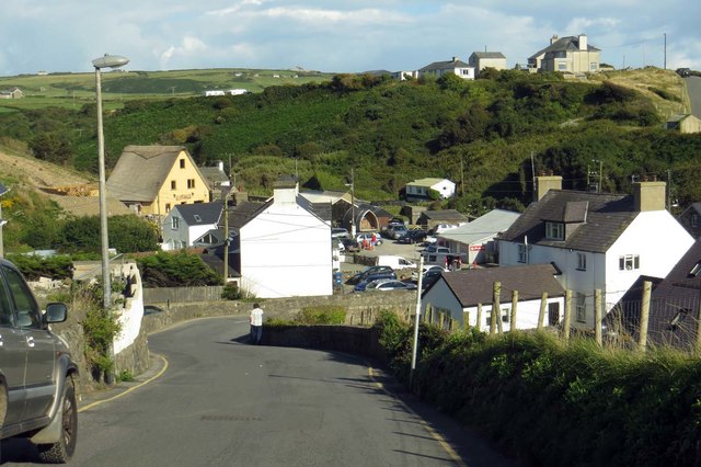
Anelog itself is home to a small population, with quaint and traditional Welsh houses lining the streets. The village features a few local amenities, including a community center and a local pub, providing a sense of community for its residents.
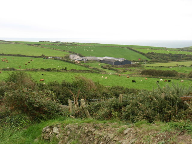
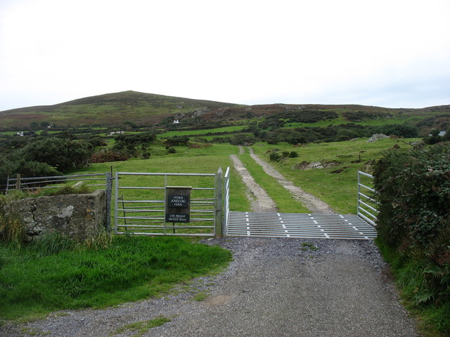
The surrounding area offers a wealth of outdoor activities, such as hiking, cycling, and fishing. The nearby Snowdonia National Park provides ample opportunities for exploration and adventure, with its rugged mountains, pristine lakes, and abundant wildlife.
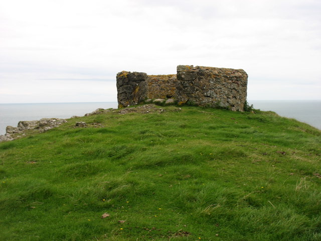
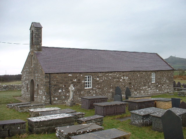
Visitors to Anelog can immerse themselves in the rich Welsh culture and history, with numerous ancient castles, churches, and archaeological sites in the vicinity. The village is also within driving distance of several other charming coastal towns, allowing for further exploration of the beautiful Caernarfonshire coastline.
In summary, Anelog is a tranquil village nestled in the stunning Welsh countryside, offering a peaceful retreat for those seeking to escape the hustle and bustle of city life.
If you have any feedback on the listing, please let us know in the comments section below.
Anelog Images
Images are sourced within 2km of 52.813763/-4.73781 or Grid Reference SH1527. Thanks to Geograph Open Source API. All images are credited.
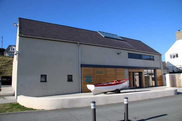
![Porth y Swnt Interpretation Centre Owned by the National Trust. Its prize exhibit is the old [redundant] optic from the lighthouse on Ynys Enlli.](https://s1.geograph.org.uk/geophotos/04/73/90/4739049_adf0a91c.jpg)


Anelog is located at Grid Ref: SH1527 (Lat: 52.813763, Lng: -4.73781)
Unitary Authority: Gwynedd
Police Authority: North Wales
What 3 Words
///foiled.master.couriers. Near Nefyn, Gwynedd
Nearby Locations
Related Wikis

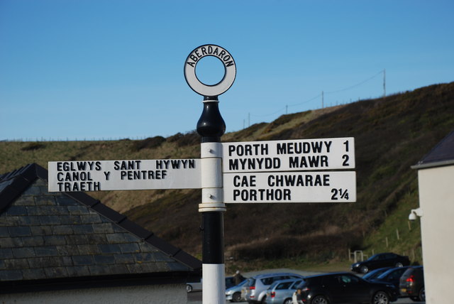
Aberdaron
Aberdaron (Welsh pronunciation: [abɛrˈdarɔn]) is a community, electoral ward and former fishing village at the western tip of the Llŷn Peninsula in the...

St Hywyn's Church, Aberdaron
The Church of St Hywyn, Aberdaron, Gwynedd, Wales, is a parish church dating from the 12th century. Its origins are earlier, as a clas church from the...

Bodferin
Bodferin is a former civil parish in the Welsh county of Gwynedd. It was abolished in 1934, and incorporated into Aberdaron. == References ==
Llanfaelrhys
Llanfaelrhys is a village and former civil parish in the Welsh county of Gwynedd, located on the Llŷn Peninsula. The parish was abolished in 1934 and...
Nearby Amenities
Located within 500m of 52.813763,-4.73781Have you been to Anelog?
Leave your review of Anelog below (or comments, questions and feedback).