Chrishall
Settlement in Essex Uttlesford
England
Chrishall

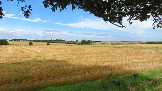
Chrishall is a small village located in the county of Essex, England. Situated approximately 40 miles northeast of London, Chrishall is a rural settlement known for its picturesque landscapes and historic charm.
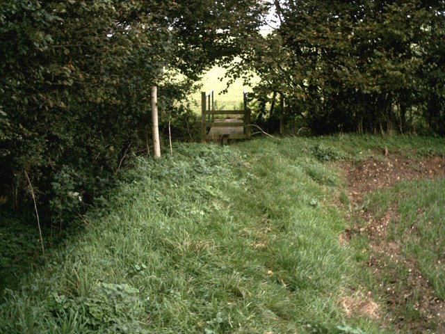
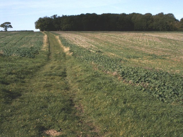
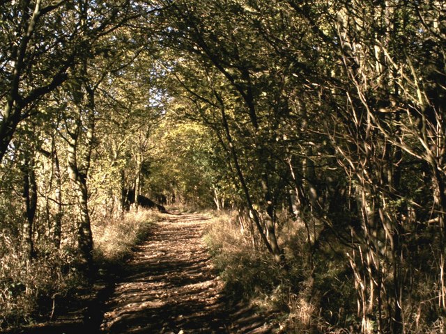
The village is nestled within the district of Uttlesford and falls under the administration of the Uttlesford District Council. It is situated near the Cambridgeshire border, offering its residents easy access to both counties. Chrishall is surrounded by beautiful countryside, with rolling hills, meadows, and woodland, making it an ideal location for nature enthusiasts and outdoor activities.
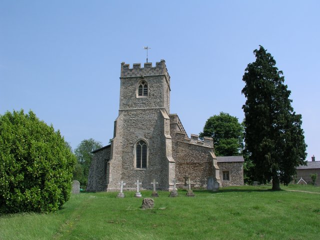
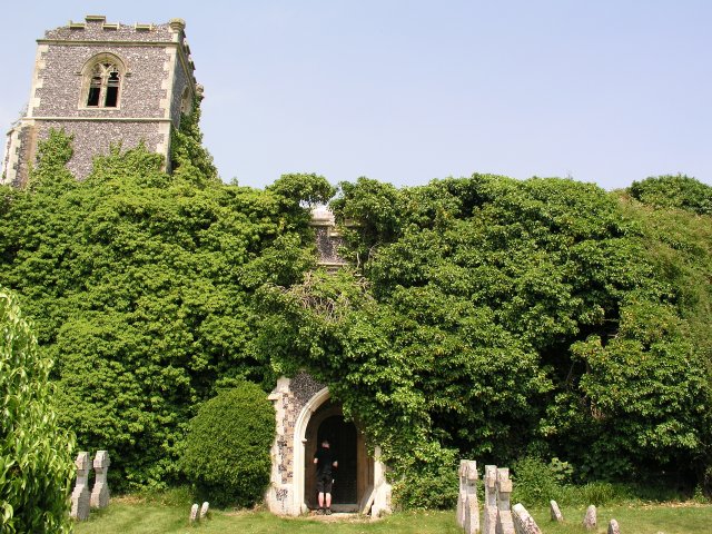
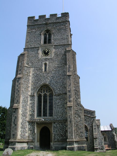
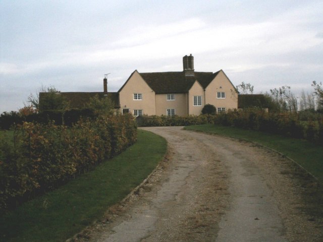
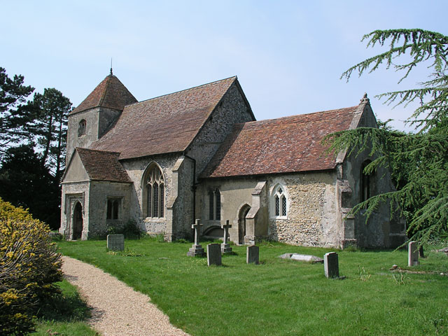
The village itself has a quaint and traditional feel, with its historic buildings and charming architecture. It features a parish church, St. Nicholas, which dates back to the 14th century and is known for its medieval wall paintings. The church forms a central point in the village and is a popular landmark for visitors.
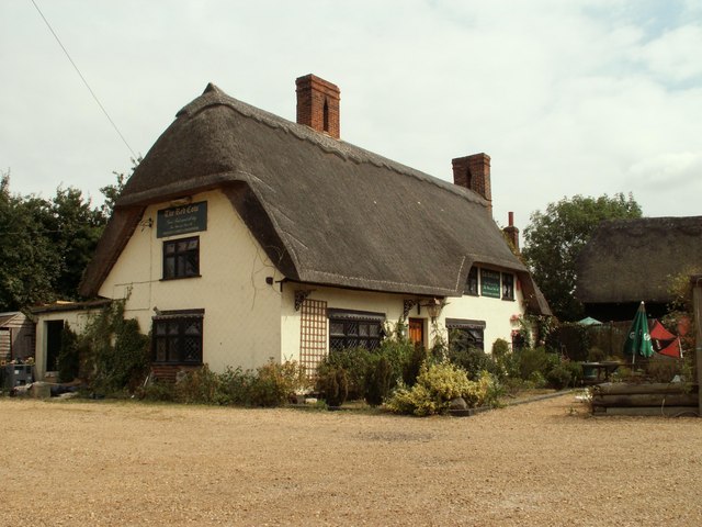
While Chrishall is a small village, it has a strong sense of community and offers a range of amenities to its residents. These include a primary school, a village hall, a post office, and a local pub. The village also benefits from excellent transport links, with easy access to major roads, including the A505 and M11, allowing for convenient travel to nearby towns and cities.
Overall, Chrishall offers a peaceful and idyllic way of life, surrounded by natural beauty and a strong community spirit.
If you have any feedback on the listing, please let us know in the comments section below.
Chrishall Images
Images are sourced within 2km of 52.03331/0.105856 or Grid Reference TL4439. Thanks to Geograph Open Source API. All images are credited.


Chrishall is located at Grid Ref: TL4439 (Lat: 52.03331, Lng: 0.105856)
Administrative County: Essex
District: Uttlesford
Police Authority: Essex
What 3 Words
///blesses.milkman.mallets. Near Fowlmere, Cambridgeshire
Nearby Locations
Related Wikis

Chrishall
Chrishall (pronounced Chris hall) is a small village in the English county of Essex. It is located 12 miles (20 km) south of Cambridge and lies equidistant...

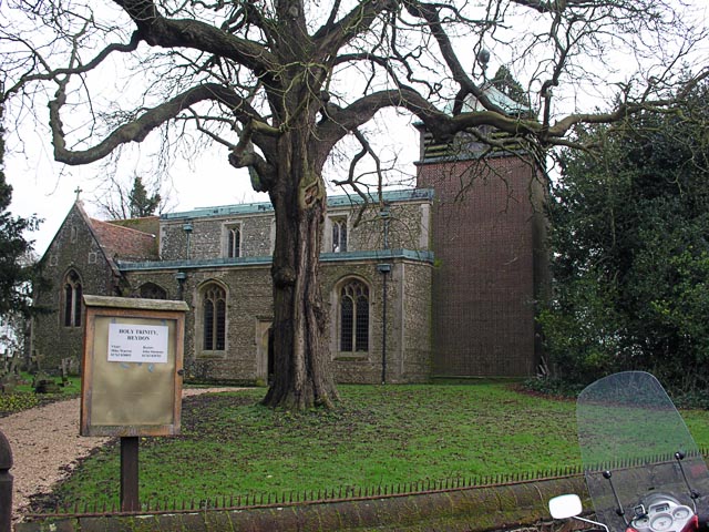
Heydon, Cambridgeshire
Heydon is a village and civil parish in Cambridgeshire, England. The parish of Heydon was transferred from Essex to Cambridgeshire in 1894. The area of...

Elmdon
See also, Elmdon, West Midlands.Elmdon is a village in the civil parish of Elmdon, Duddenhoe End & Wenden Lofts situated in the Uttlesford district of...

Wenden Lofts
Wenden Lofts is a small community in the civil parish of Elmdon, Duddenhoe End & Wenden Lofts in the Uttlesford district, in the county of Essex, England...

Great Chishill
Great Chishill is a village and former civil parish, now in the parish of Great and Little Chishill, in the South Cambridgeshire district, in the county...
Duddenhoe End
Duddenhoe End is a small village in the civil parish of Elmdon & Wenden Lofts, in northwest Essex, England, and situated approximately halfway between...
Little Chishill
Little Chishill is a village and former civil parish, now in the parish of Great and Little Chishill, in the South Cambridgeshire district, in the county...

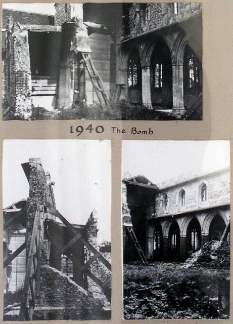
Strethall
Strethall is a village and a civil parish in the Uttlesford District, in the English county of Essex, near the town of Saffron Walden. Having suffered...
Nearby Amenities
Located within 500m of 52.03331,0.105856Have you been to Chrishall?
Leave your review of Chrishall below (or comments, questions and feedback).