Blackdown Copse
Wood, Forest in Devon West Devon
England
Blackdown Copse
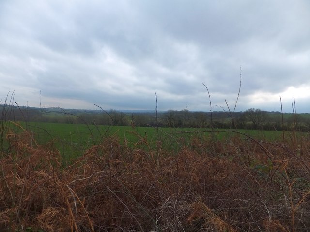
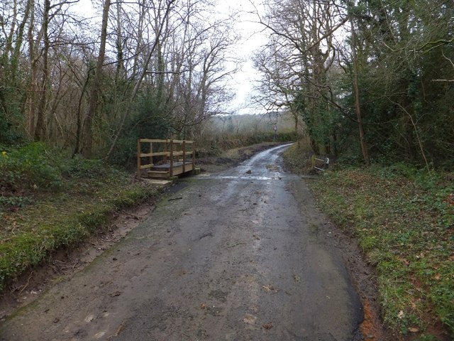
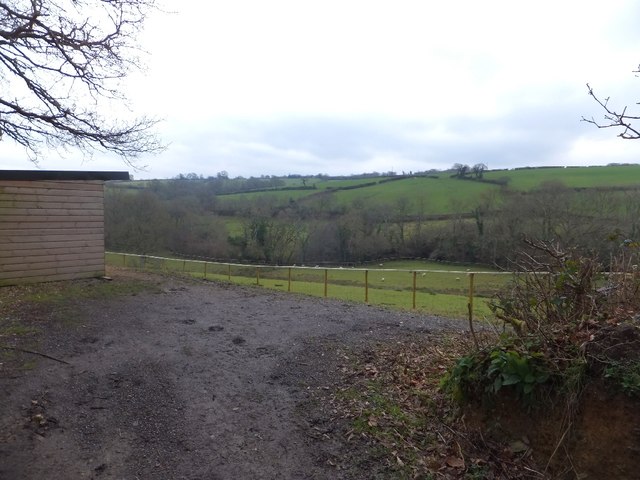
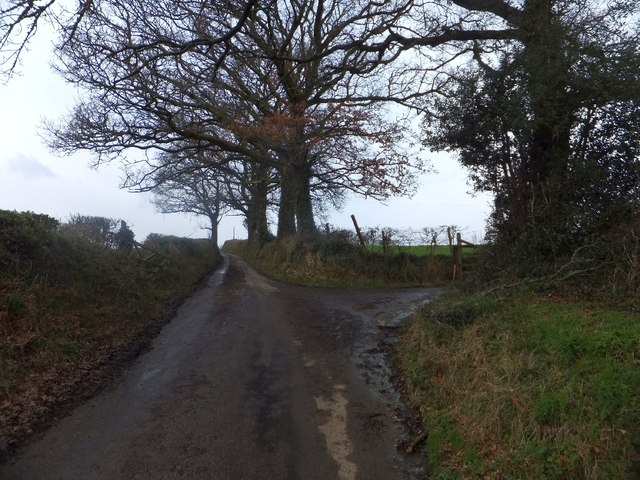
Blackdown Copse is a charming and picturesque woodland located in the county of Devon, England. Situated on the eastern edge of the Blackdown Hills, this copse covers an area of approximately 100 acres, making it a haven for nature enthusiasts and outdoor lovers.
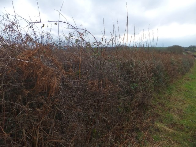
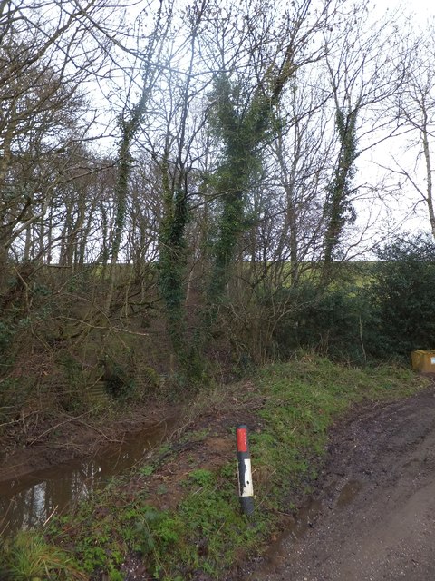
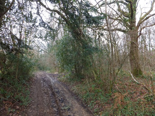
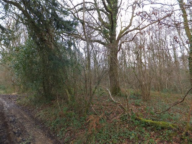
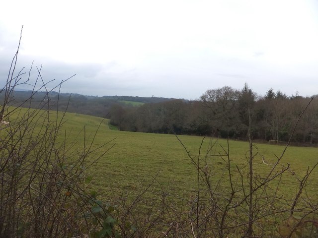
The copse primarily consists of native broadleaf trees, including oak, beech, and ash, which create a dense and verdant canopy. The woodland floor is adorned with an abundance of wildflowers, such as bluebells and primroses, adding splashes of vibrant colors throughout the seasons.
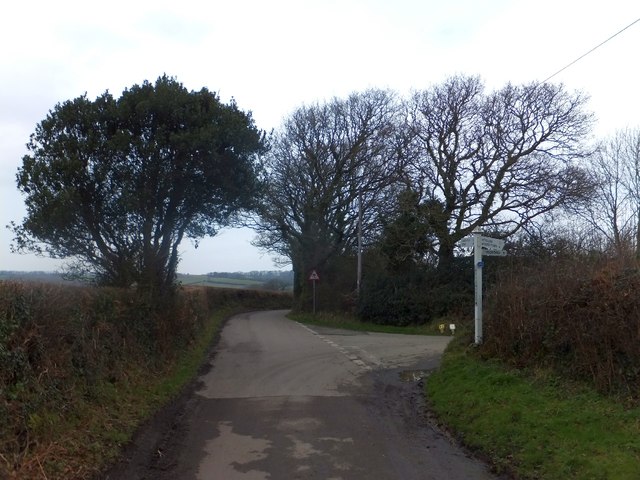
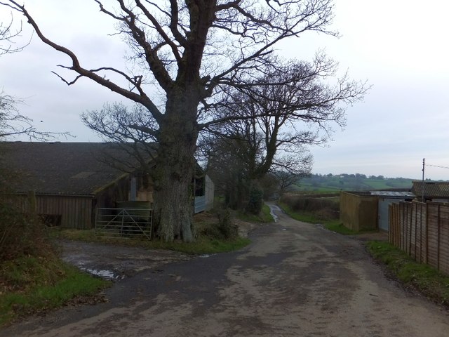
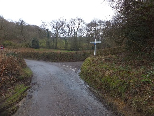
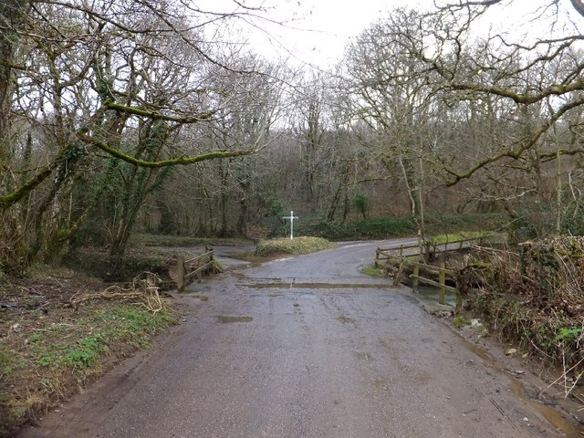
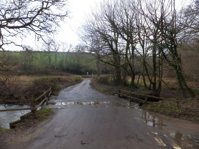
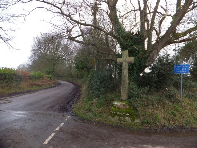
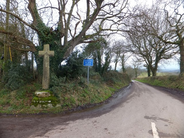
Blackdown Copse is known for its tranquil and peaceful atmosphere, providing a serene escape from the hustle and bustle of everyday life. Visitors can explore the copse through its well-maintained network of footpaths, allowing them to immerse themselves in the natural beauty and observe the diverse wildlife that inhabits the area.
Birdwatchers will be delighted to spot various species, including woodpeckers, owls, and songbirds, while nature enthusiasts may encounter small mammals such as badgers, foxes, and deer. The copse also boasts a small stream running through it, enhancing the overall charm and tranquility of the woodland.
For those seeking a more active experience, Blackdown Copse offers opportunities for hiking, cycling, and picnicking. The copse is well-equipped with picnic areas and benches, inviting visitors to relax and enjoy the peaceful surroundings.
In conclusion, Blackdown Copse in Devon is a captivating woodland that showcases the natural beauty of the area. With its diverse flora and fauna, well-maintained footpaths, and serene atmosphere, it is an idyllic destination for nature lovers and those in search of tranquility.
If you have any feedback on the listing, please let us know in the comments section below.
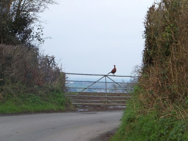
Blackdown Copse Images
Images are sourced within 2km of 50.76597/-3.8186788 or Grid Reference SX7197. Thanks to Geograph Open Source API. All images are credited.

Blackdown Copse is located at Grid Ref: SX7197 (Lat: 50.76597, Lng: -3.8186788)
Administrative County: Devon
District: West Devon
Police Authority: Devon and Cornwall
What 3 Words
///unfair.blemishes.stood. Near Bow, Devon
Nearby Locations
Related Wikis

Spreyton
Spreyton is a small rural village just north of Dartmoor in Devon, England. Spreyton is famous for its connection to the tale of “Old Uncle Tom Cobley...
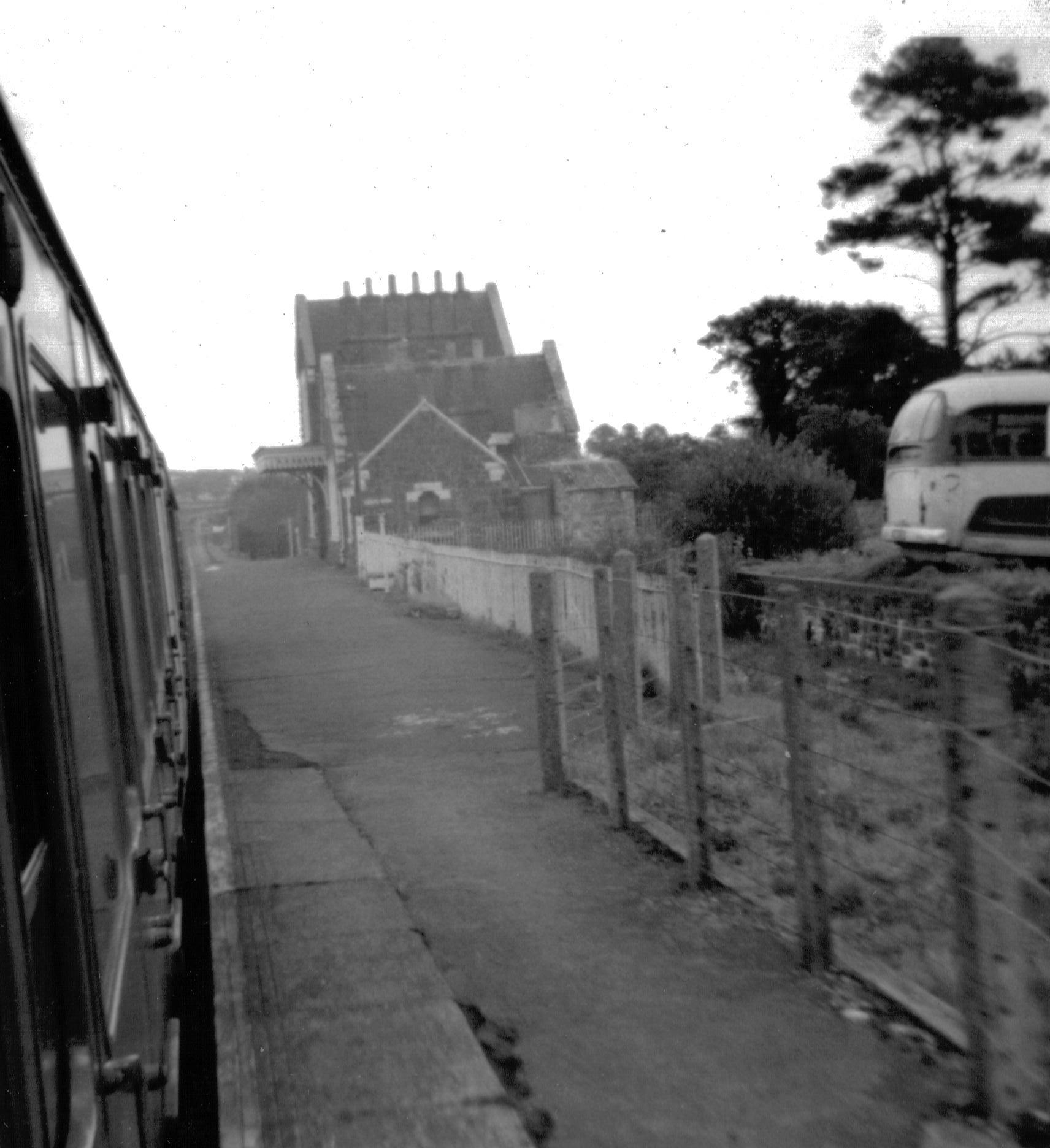
Bow railway station (Devon)
Bow railway station was a railway station serving the village of Bow and the hamlet of Nymet Tracy in Devon. Bow lies about 8 miles west of Crediton....
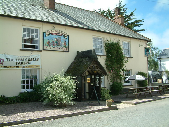
Tom Cobley Tavern
The Tom Cobley Tavern is a pub in Spreyton, Devon, England. It dates back to the 16th century, and may be the 1802 starting point of Uncle Tom Cobley and...

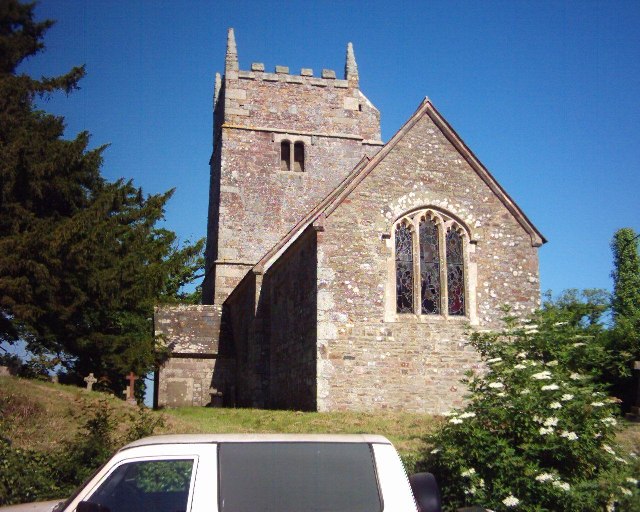
St Andrew's Church, Hittisleigh
St Andrew's Church, Hittisleigh, is an Anglican parish church in Hittisleigh in Mid Devon. It is listed Grade I on the National Heritage List for England...
Hittisleigh
Hittisleigh is a small rural parish and village just north-east of Dartmoor in Devon. Once part of the ancient district of the Wonford Hundred, it is now...
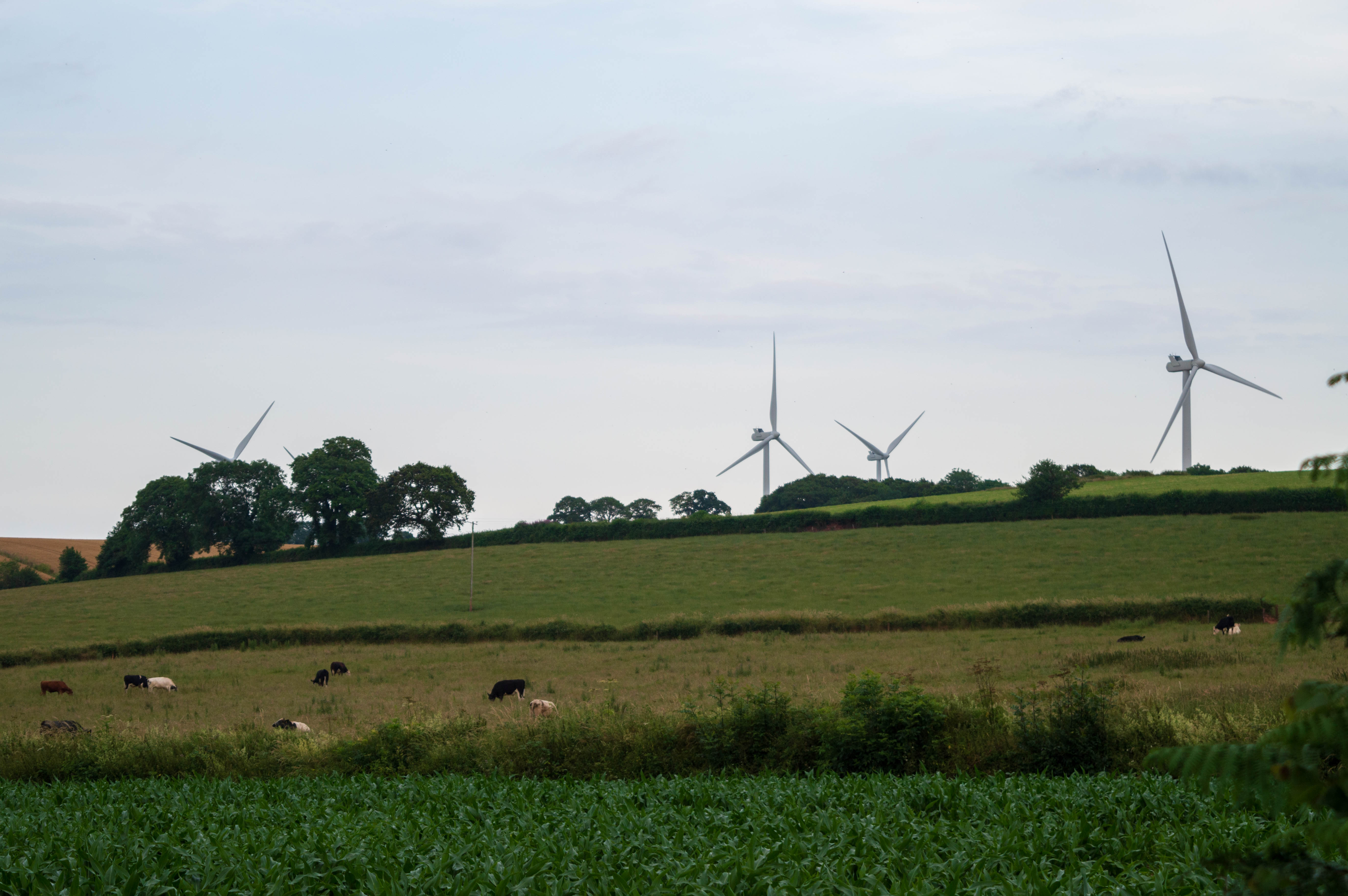
Den Brook Wind Farm
Den Brook Wind Farm is a windfarm in Devon, England. The windfarm is located 2 kilometres (1.2 mi) south-east of North Tawton and 2.5 kilometres (1.6 mi...
Bow, Devon
Bow () is a village and civil parish in the Mid Devon district of Devon, England, about 8 miles (13 km) west of Crediton. According to the 2001 census...
Clannaborough
Clannaborough is a parish in the county of Devon, England, situated about 5+1⁄2 miles north-west of the town of Crediton and 11 miles north-east of Okehampton...
Nearby Amenities
Located within 500m of 50.76597,-3.8186788Have you been to Blackdown Copse?
Leave your review of Blackdown Copse below (or comments, questions and feedback).