Lower Moor Copse

Wood, Forest in Devon North Devon

England

Lower Moor Copse

Mariansleigh: River Mole at Alswear Three parishes meet here: beyond the bend the river runs into King’s Nympton and the right bank is in Queen’s Nympton
Mariansleigh: River Mole at Alswear Credit: Martin Bodman

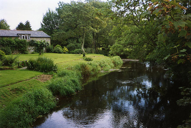
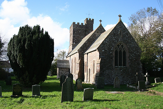
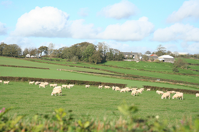
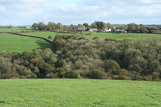
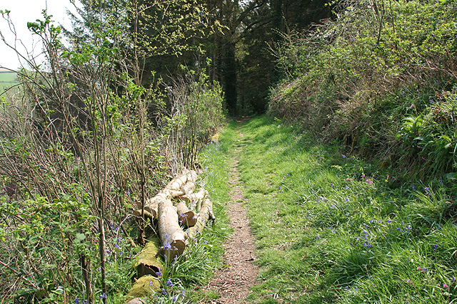
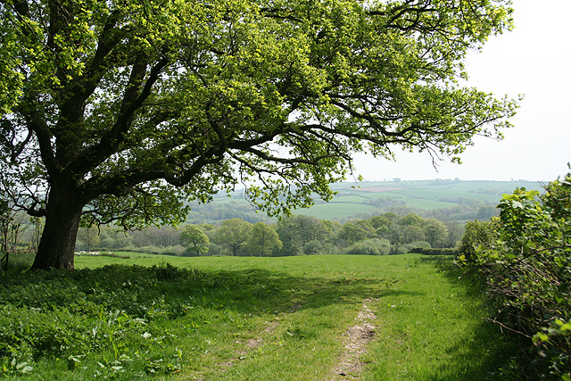
Lower Moor Copse is a beautiful woodland area located in Devon, England. This ancient forest is known for its diverse range of flora and fauna, making it a popular destination for nature lovers and wildlife enthusiasts. The copse is home to a variety of tree species, including oak, beech, and ash, as well as a rich undergrowth of ferns, mosses, and wildflowers.

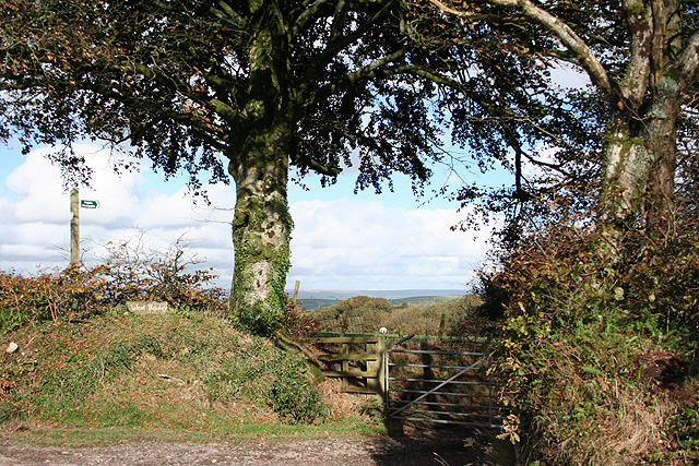
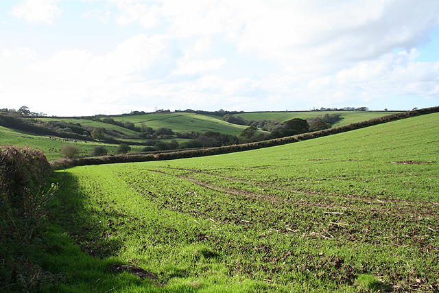
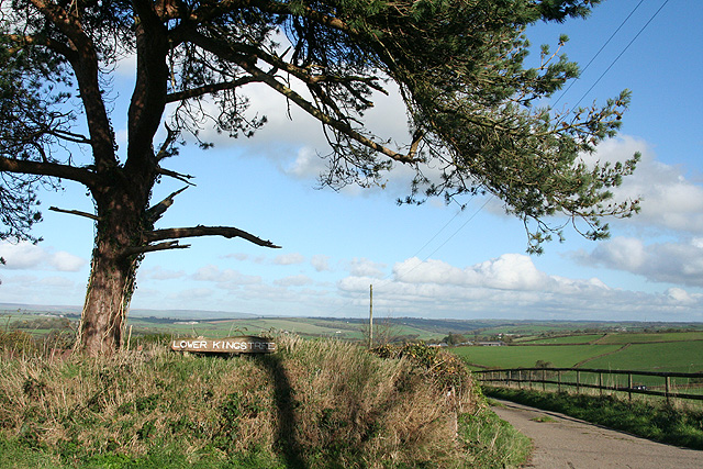
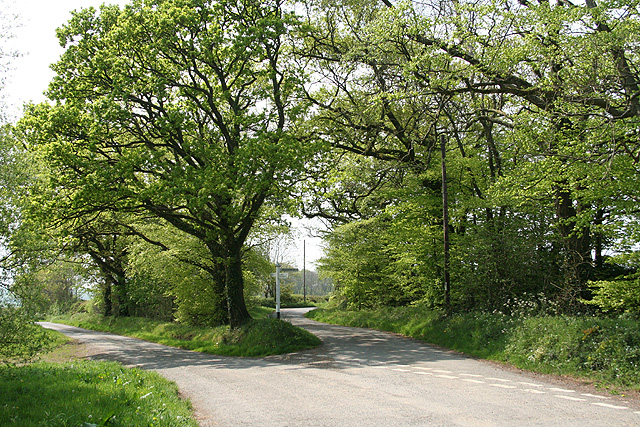
Visitors to Lower Moor Copse can enjoy leisurely walks along well-maintained trails, which wind through the forest and offer stunning views of the surrounding countryside. The peaceful atmosphere of the copse makes it a perfect spot for picnics, birdwatching, and photography.

The copse is also home to a wide array of wildlife, including deer, badgers, and a variety of bird species. Nature enthusiasts may also catch a glimpse of rare butterflies and insects that make their home in this unique ecosystem.

Overall, Lower Moor Copse is a tranquil and picturesque woodland area that offers visitors the chance to connect with nature and enjoy the beauty of the natural world.

If you have any feedback on the listing, please let us know in the comments section below.

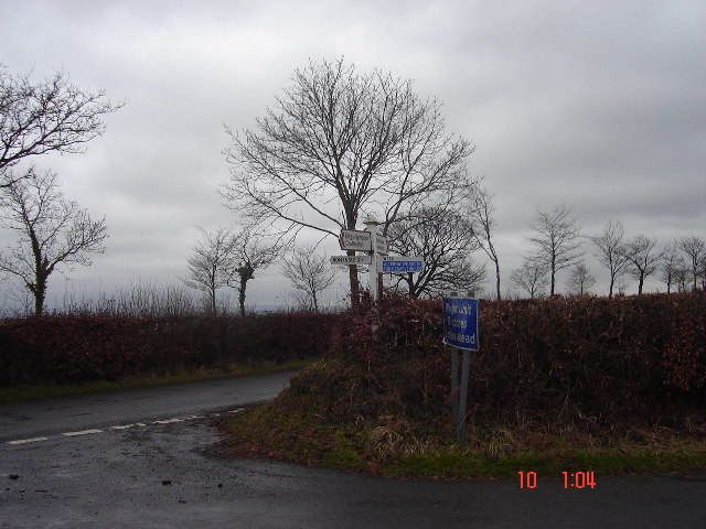
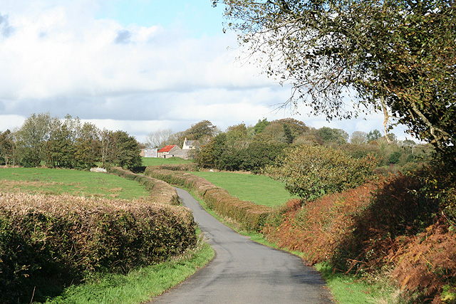
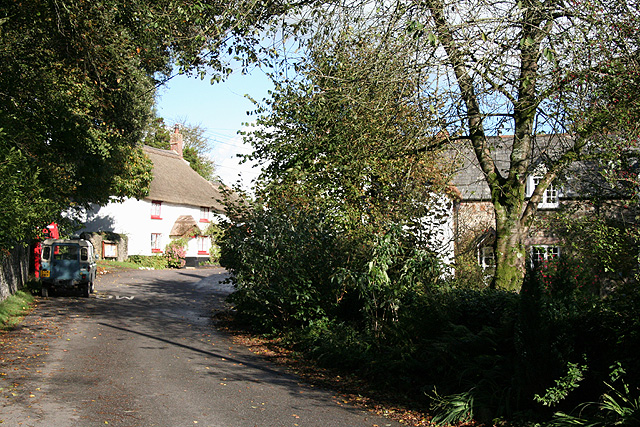
Lower Moor Copse Images

Images are sourced within 2km of 50.967177/-3.8263 or Grid Reference SS7120. Thanks to Geograph Open Source API. All images are credited.

Mariansleigh: River Mole at Alswear Three parishes meet here: beyond the bend the river runs into King’s Nympton and the right bank is in Queen’s Nympton
Mariansleigh: River Mole at Alswear
Three parishes meet here: beyond the bend the river runs into King’s Nympton and the right bank is in Queen’s Nympton
Beacon Cross An isolated crossroads.  Many of the crossroads here on high ground between Dartmoor and Exmoor have beacons.
Beacon Cross
An isolated crossroads. Many of the crossroads here on high ground between Dartmoor and Exmoor have beacons.
Romansleigh: towards the village Looking north on the lane from Beacon Cross
Romansleigh: towards the village
Looking north on the lane from Beacon Cross
Romansleigh: the village Looking north east with the entrance to the church beyond the phone box and Land Rover. Honeysuckle Cottage is on the left, past the church gate, and Glebe Cottage on the right
Romansleigh: the village
Looking north east with the entrance to the church beyond the phone box and Land Rover. Honeysuckle Cottage is on the left, past the church gate, and Glebe Cottage on the right
Romansleigh: St Rumon’s church The church was rebuilt in 1868 but is dedicated to a Celtic saint. Looking west
Romansleigh: St Rumon’s church
The church was rebuilt in 1868 but is dedicated to a Celtic saint. Looking west
Romansleigh: entrance to West Rowley A public footpath leads to West Rowley and East Rowley and to Rhode Farm. Looking north east
Romansleigh: entrance to West Rowley
A public footpath leads to West Rowley and East Rowley and to Rhode Farm. Looking north east
Romansleigh: near Three Corner Cross Looking west-south-west towards Lower Kingstree Moor
Romansleigh: near Three Corner Cross
Looking west-south-west towards Lower Kingstree Moor
King’s Nympton: Garland Cross Looking north-north-east. The road ahead leads to Alswear. Exmoor provides the backdrop
King’s Nympton: Garland Cross
Looking north-north-east. The road ahead leads to Alswear. Exmoor provides the backdrop
King’s Nympton: towards Highridge Looking north-north-east over farmland
King’s Nympton: towards Highridge
Looking north-north-east over farmland
King’s Nympton: towards Romansleigh Romansleigh is a small village – almost a hamlet – on a hill beyond this square. St Rumon’s church stands amongst trees. Looking east-south-east
King’s Nympton: towards Romansleigh
Romansleigh is a small village – almost a hamlet – on a hill beyond this square. St Rumon’s church stands amongst trees. Looking east-south-east
Romansleigh: by the entrance to Lower Kingstree On the lane between Highridge and Garland Cross, looking east-north-east
Romansleigh: by the entrance to Lower Kingstree
On the lane between Highridge and Garland Cross, looking east-north-east
King’s Nympton: overlooking New Mill New Mill, now a private house, seen from a public footpath on its boundary. This was the lowest watermill on the Little Silver Stream, a tributary of the Mole. Looking east-south-east
King’s Nympton: overlooking New Mill
New Mill, now a private house, seen from a public footpath on its boundary. This was the lowest watermill on the Little Silver Stream, a tributary of the Mole. Looking east-south-east
King’s Nympton: footpath above New Mill The path runs up the Little Silver valley to Kempstown and Romansleigh. Looking south east
King’s Nympton: footpath above New Mill
The path runs up the Little Silver valley to Kempstown and Romansleigh. Looking south east
King’s Nympton: Highridge Cross A junction rather than a crossroads. Looking west
King’s Nympton: Highridge Cross
A junction rather than a crossroads. Looking west
King’s Nympton: by Highridge Cross Looking south east towards Highridge Wood with an oak tree in new leaf
King’s Nympton: by Highridge Cross
Looking south east towards Highridge Wood with an oak tree in new leaf
King’s Nympton: by Broomham Cross Looking south east
King’s Nympton: by Broomham Cross
Looking south east
King’s Nympton: barns at Yelmacott Looking north-north-east on the access lane to Orchard End and Yelmacott. The barns are of cob, roofed in corrugated iron
King’s Nympton: barns at Yelmacott
Looking north-north-east on the access lane to Orchard End and Yelmacott. The barns are of cob, roofed in corrugated iron
King’s Nympton: hunt followers near Yelmacott Part of a procession of bikes, quad bikes and 4x4s heading for a Saturday hunt. Looking east-south-east
King’s Nympton: hunt followers near Yelmacott
Part of a procession of bikes, quad bikes and 4x4s heading for a Saturday hunt. Looking east-south-east
Show me another place!

Lower Moor Copse is located at Grid Ref: SS7120 (Lat: 50.967177, Lng: -3.8263)

Administrative County: Devon

District: North Devon

Police Authority: Devon and Cornwall

What 3 Words

///stubbed.generated.blunt. Near South Molton, Devon

Related Wikis

Romansleigh

Romansleigh is a village and civil parish in the North Devon district of Devon, England. It is surrounded clockwise from the north by the parishes of Mariansleigh...

Alswear

Alswear is a village in Devon, England, approximately 25 miles (40 km) northwest of Exeter. == References == == External links == Media related to Alswear...

Queen's Nympton

Queen's Nympton or Queensnympton is a small civil parish in the North Devon district of Devon, England. According to the 2001 census it had a population...

George Nympton

George Nympton or Nymet St George is a small village and civil parish in North Devon district, Devon, England. In the 2011 census it was recorded as having...

Have you been to Lower Moor Copse?

Leave your review of Lower Moor Copse below (or comments, questions and feedback).