Ballhill Copse

Wood, Forest in Devon West Devon

England

Ballhill Copse

Ordnance Survey Cut Mark This OS cut mark can be found on the west face of St Michael's Church. It marks a point 223.988m above mean sea level.
Ordnance Survey Cut Mark Credit: Adrian Dust

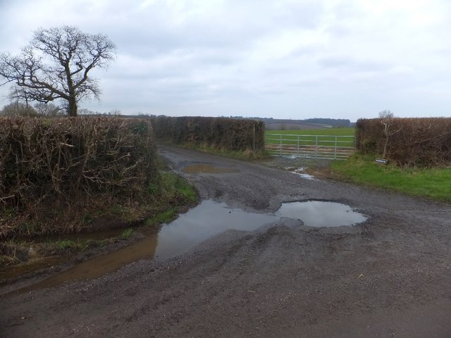
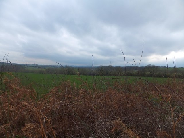
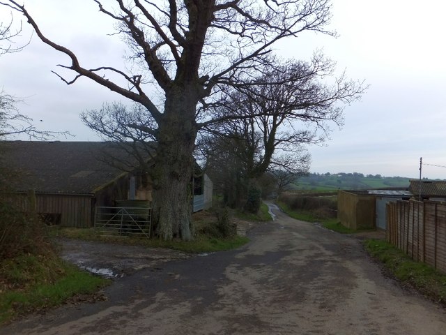
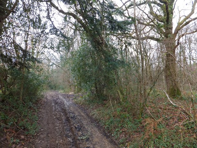
Ballhill Copse is a picturesque woodland located in the county of Devon, England. Situated near the village of Chagford, it covers an area of approximately 50 acres, making it a significant natural landmark in the region. The copse is situated on a gentle slope, offering visitors stunning views of the surrounding countryside.

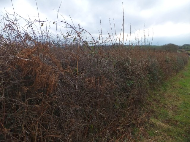
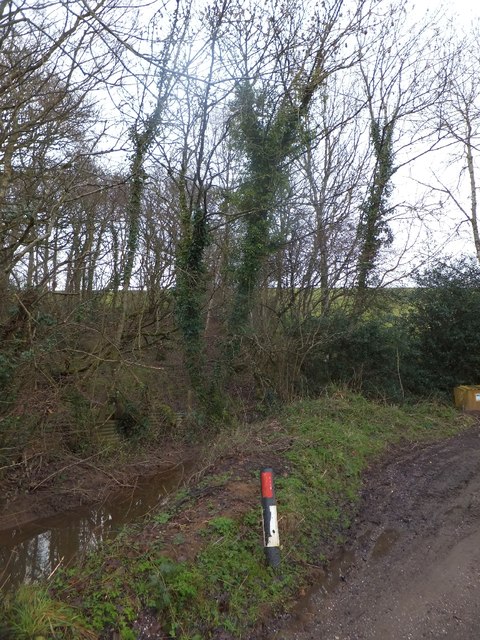
The woodland is primarily composed of native broadleaf trees, such as oak, beech, and ash, creating a diverse and vibrant habitat for a variety of flora and fauna. The dense canopy provides shade and shelter for a wide range of woodland plants, including bluebells, primroses, and wild garlic, which carpet the forest floor during springtime.

Ballhill Copse is also home to an array of wildlife. Visitors may catch a glimpse of resident bird species, such as woodpeckers, nuthatches, and tawny owls, as they navigate through the trees. The copse is also a habitat for small mammals, including squirrels, badgers, and foxes, which can be spotted foraging for food and making their homes amongst the undergrowth.

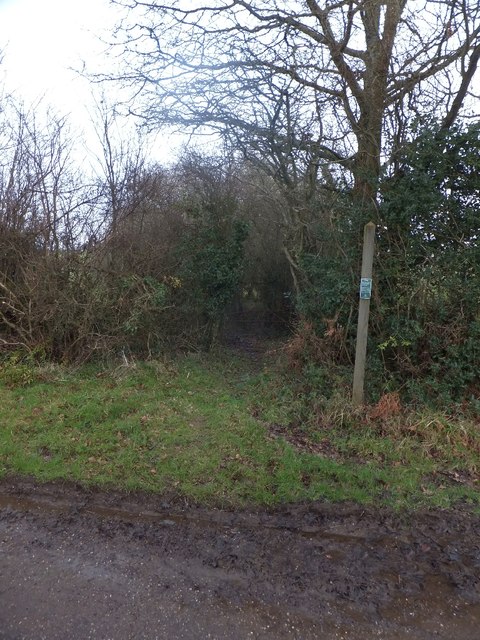
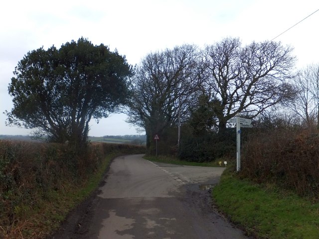
The woodland is a popular destination for nature enthusiasts, walkers, and photographers, who are drawn to its natural beauty and tranquility. Several well-maintained footpaths wind through the copse, allowing visitors to explore its hidden corners and discover its hidden gems. Whether it's a leisurely stroll or a more vigorous hike, Ballhill Copse offers something for everyone.

Overall, Ballhill Copse is a cherished natural treasure in Devon, providing a peaceful haven for both wildlife and humans alike. Its diverse ecosystem, stunning scenery, and accessibility make it a must-visit destination for anyone seeking a connection with nature in this beautiful part of England.

If you have any feedback on the listing, please let us know in the comments section below.

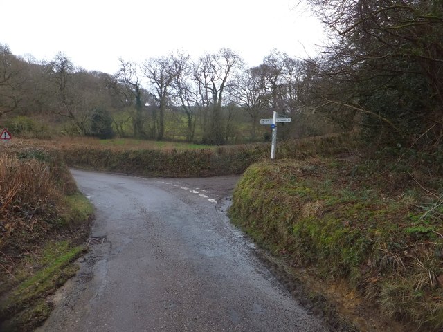
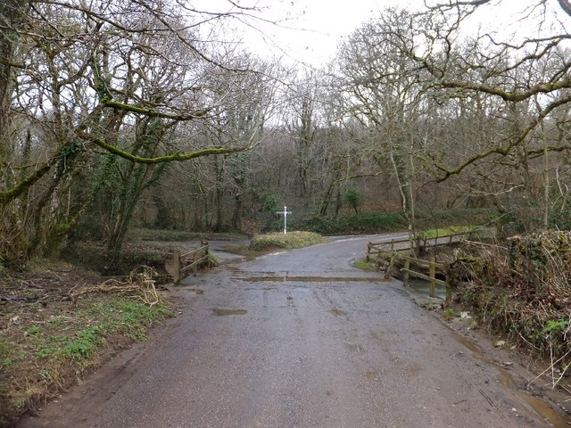
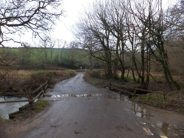
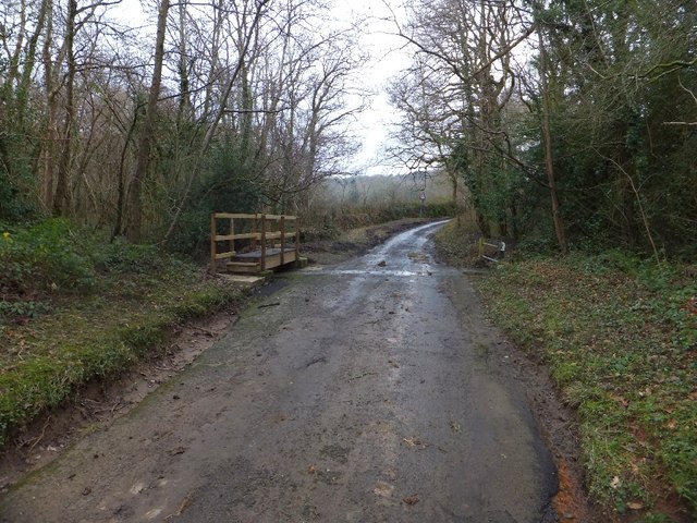
Ballhill Copse Images

Images are sourced within 2km of 50.761195/-3.8266753 or Grid Reference SX7197. Thanks to Geograph Open Source API. All images are credited.

Ordnance Survey Cut Mark This OS cut mark can be found on the west face of St Michael's Church. It marks a point 223.988m above mean sea level.
Ordnance Survey Cut Mark
This OS cut mark can be found on the west face of St Michael's Church. It marks a point 223.988m above mean sea level.
St Michael's Church
St Michael's Church
The Tom Cobley Tavern
The Barton, looking towards the church tower A Grade II listed barn of C14 origin, one of the oldest buildings in the village of Spreyton. This has been recently renovated and restored (along with the ancient farmhouse Of Spreyton Barton).
The Barton, looking towards the church tower
A Grade II listed barn of C14 origin, one of the oldest buildings in the village of Spreyton. This has been recently renovated and restored (along with the ancient farmhouse Of Spreyton Barton).
Staddlestone adjoining the north side of the  church tower Of quite some age and a favourite feature, this lovely staddlestone is adorned by daffodils in springtime. I don’t know if this is the original position for it.
Staddlestone adjoining the north side of the church tower
Of quite some age and a favourite feature, this lovely staddlestone is adorned by daffodils in springtime. I don’t know if this is the original position for it.
Footpath to Crayford
Field gate at Westwood The road on the left gives access to Westwood Farm
Field gate at Westwood
The road on the left gives access to Westwood Farm
Hedge and field north of Westwood
Fresh growth and bracken in the hedge The hedge is on the east side of the road between Swallowtree and Westwood.  The hedge has been cut back since an earlier picture was taken <a href="https://www.geograph.org.uk/photo/202129">SX7295 : Hittisleigh: towards Easton Cross</a>
Fresh growth and bracken in the hedge
The hedge is on the east side of the road between Swallowtree and Westwood. The hedge has been cut back since an earlier picture was taken SX7295 : Hittisleigh: towards Easton Cross
Swallowtree Cross There are only three ways from this cross; the trees beyond the junction shelter a small house.
Swallowtree Cross
There are only three ways from this cross; the trees beyond the junction shelter a small house.
Farm buildings at Swallowtree
A small copse near Quince Cross The small area of woodland on the left appears to fill a former quarry or source of clay.  There is a grit bin at the foot of the steep ascent to Swallowtree Cross
A small copse near Quince Cross
The small area of woodland on the left appears to fill a former quarry or source of clay. There is a grit bin at the foot of the steep ascent to Swallowtree Cross
Quince Cross  The three-way junction is not named on OS maps, but the upright carries the name.  On the left is the valley of the River Troney, and a sign warns of the risk of flooding.
Quince Cross
The three-way junction is not named on OS maps, but the upright carries the name. On the left is the valley of the River Troney, and a sign warns of the risk of flooding.
Bridge over River Troney The bridge is between two road junctions, so four roads converge on this crossing.  To the north is Spreyton Wood Cross, to the south Quince Cross.  The bridge is designed to become a ford when there is a flood.  One of the wooden fence rails on the right is broken - the result of flooding?
Bridge over River Troney
The bridge is between two road junctions, so four roads converge on this crossing. To the north is Spreyton Wood Cross, to the south Quince Cross. The bridge is designed to become a ford when there is a flood. One of the wooden fence rails on the right is broken - the result of flooding?
Bridge over River Troney The bridge is between two road junctions, so four roads converge on this crossing.  To the north is Spreyton Wood Cross, to the south Quince Cross, visible here.  The bridge is designed to become a ford when there is a flood.
Bridge over River Troney
The bridge is between two road junctions, so four roads converge on this crossing. To the north is Spreyton Wood Cross, to the south Quince Cross, visible here. The bridge is designed to become a ford when there is a flood.
Bridge near Spreyton Wood This footbridge provides a crossing when the road bridge becomes a ford, although the slope of the road suggests that water will flood the road where the photographer is standing.  The stream rises in Blackdown Copse and is a tributary of the River Troney
Bridge near Spreyton Wood
This footbridge provides a crossing when the road bridge becomes a ford, although the slope of the road suggests that water will flood the road where the photographer is standing. The stream rises in Blackdown Copse and is a tributary of the River Troney
Gate into Spreyton Wood A public footpath (for those with boots!) which follows the valley of the River Troney and passes through Spreyton Wood.
Gate into Spreyton Wood
A public footpath (for those with boots!) which follows the valley of the River Troney and passes through Spreyton Wood.
Footpath and forest track through Spreyton Wood
Show me another place!

Ballhill Copse is located at Grid Ref: SX7197 (Lat: 50.761195, Lng: -3.8266753)

Administrative County: Devon

District: West Devon

Police Authority: Devon and Cornwall

What 3 Words

///mock.months.bind. Near Bow, Devon

Related Wikis

Spreyton

Spreyton is a small rural village just north of Dartmoor in Devon, England. Spreyton is famous for its connection to the tale of “Old Uncle Tom Cobley...
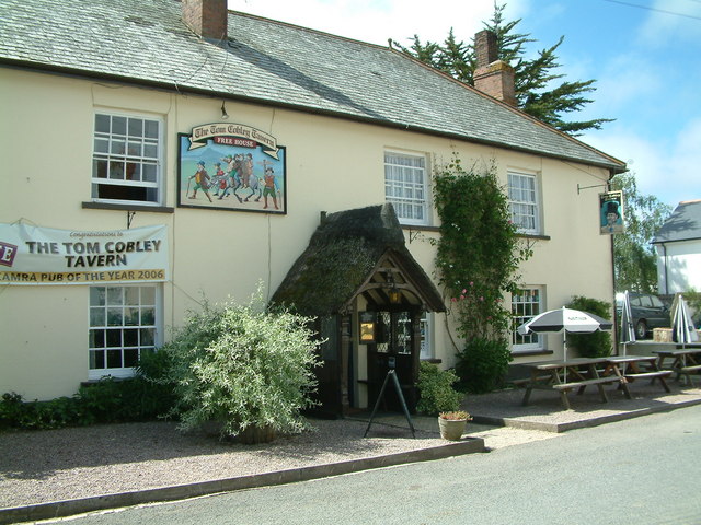
Tom Cobley Tavern

The Tom Cobley Tavern is a pub in Spreyton, Devon, England. It dates back to the 16th century, and may be the 1802 starting point of Uncle Tom Cobley and...

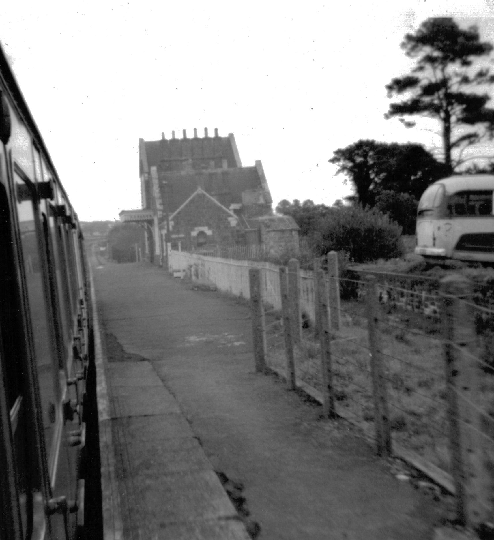
Bow railway station (Devon)

Bow railway station was a railway station serving the village of Bow and the hamlet of Nymet Tracy in Devon. Bow lies about 8 miles west of Crediton....

St Andrew's Church, Hittisleigh

St Andrew's Church, Hittisleigh, is an Anglican parish church in Hittisleigh in Mid Devon. It is listed Grade I on the National Heritage List for England...

Hittisleigh

Hittisleigh is a small rural parish and village just north-east of Dartmoor in Devon. Once part of the ancient district of the Wonford Hundred, it is now...
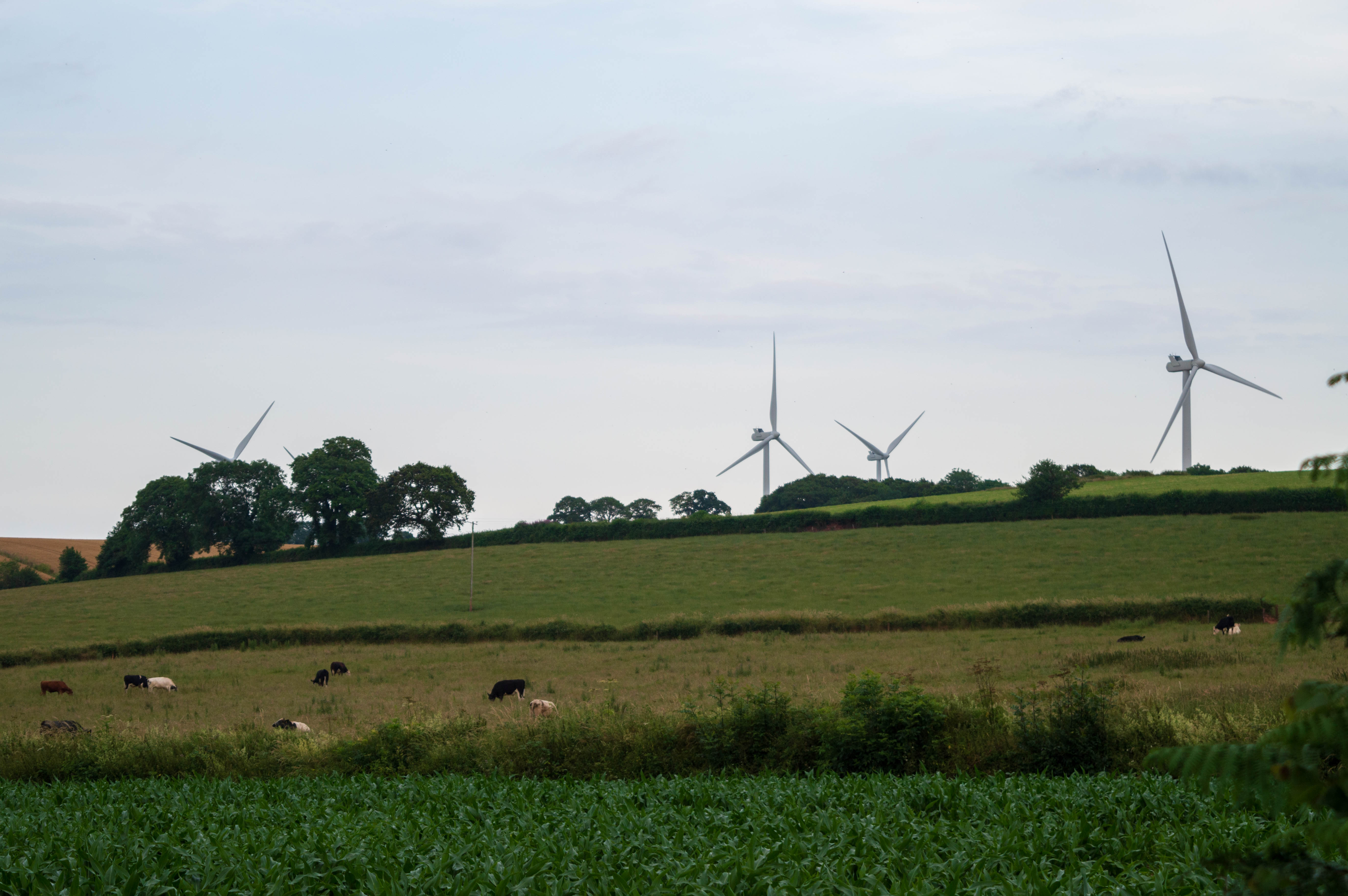
Den Brook Wind Farm

Den Brook Wind Farm is a windfarm in Devon, England. The windfarm is located 2 kilometres (1.2 mi) south-east of North Tawton and 2.5 kilometres (1.6 mi...

Bow, Devon

Bow () is a village and civil parish in the Mid Devon district of Devon, England, about 8 miles (13 km) west of Crediton. According to the 2001 census...

Whiddon Down

Whiddon Down is a hamlet within the parish of Drewsteignton in Devon. == Location == The hamlet lies on the old east–west A30 (London-Penzance) road, between...

Nearby Amenities

Located within 500m of 50.761195,-3.8266753
Generator Method: photovoltaic
Generator Output Electricity: yes
Generator Source: solar
Generator Type: solar_photovoltaic_panel
Location: roof
Power: generator
Lat/Long: 50.7632796/-3.8322893
The data included in this document is from www.openstreetmap.org. The data is made available under ODbL.

Have you been to Ballhill Copse?

Leave your review of Ballhill Copse below (or comments, questions and feedback).