Cholstrey
Settlement in Herefordshire
England
Cholstrey
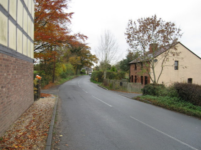
Cholstrey is a small village located in the county of Herefordshire, England. Situated approximately 10 miles east of Hereford, it lies within the rural landscape of the West Midlands region. With a population of around 200 residents, Cholstrey offers a quiet and close-knit community atmosphere.
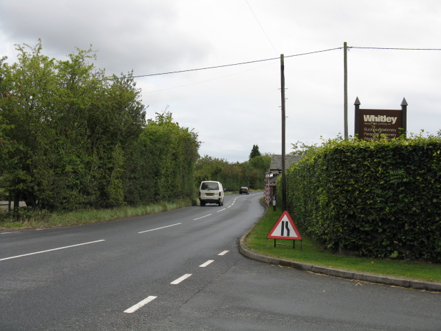
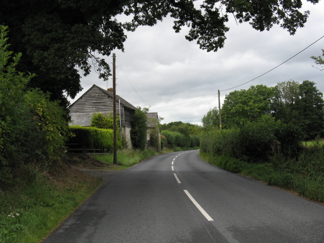
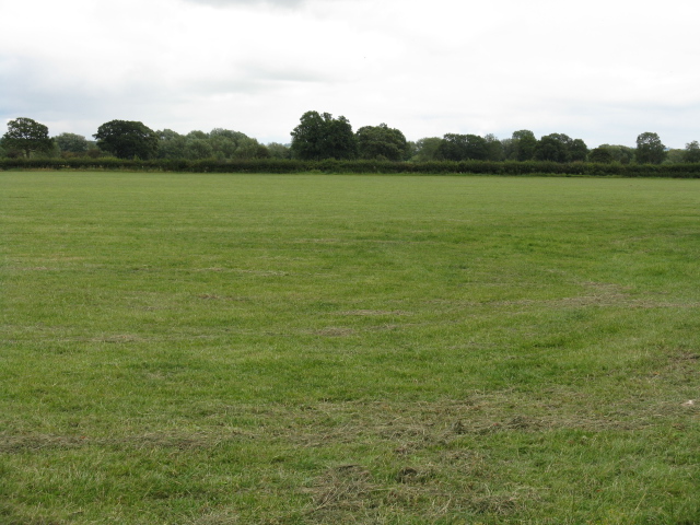
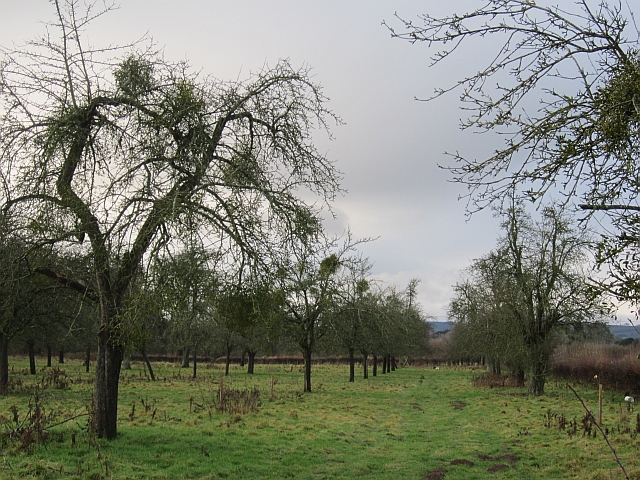
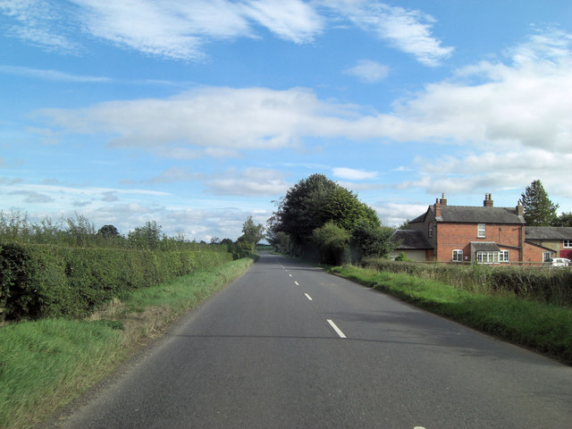
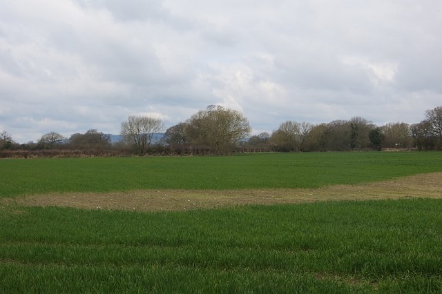
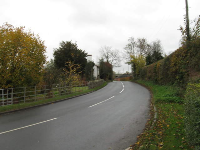
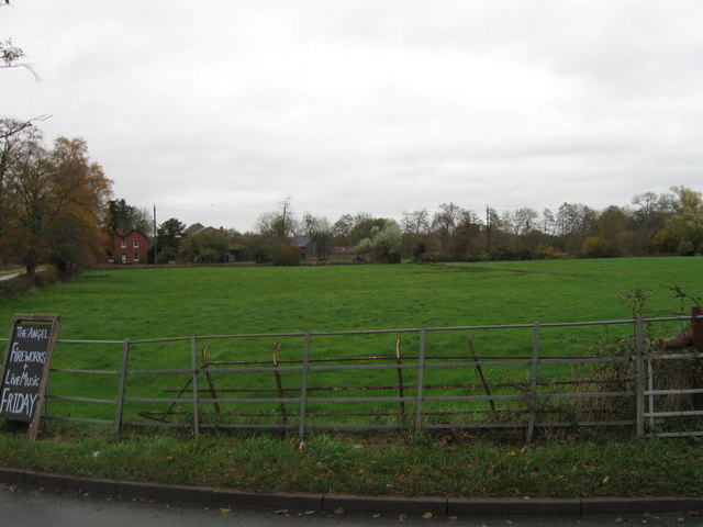
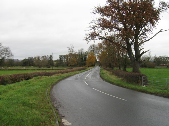
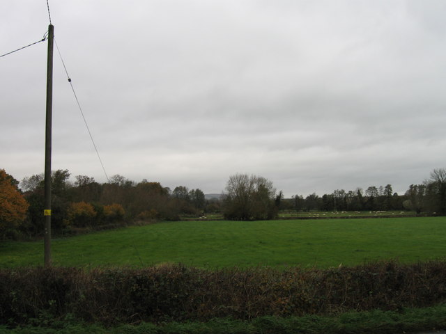
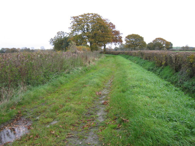
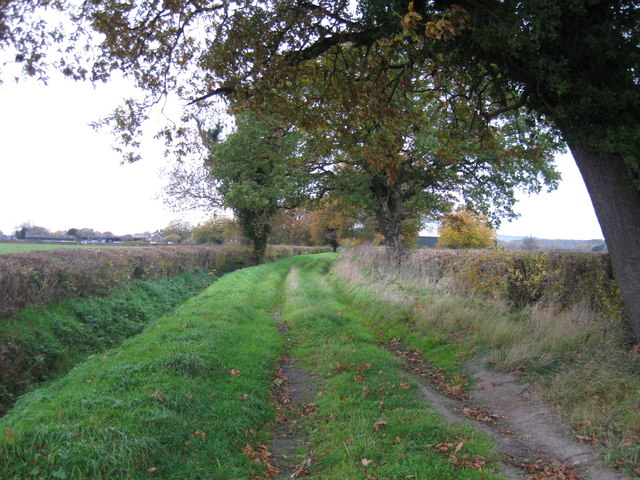
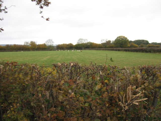
The village is characterized by its picturesque countryside surroundings, with rolling hills and lush green fields stretching as far as the eye can see. The landscape is dotted with traditional stone cottages and farmhouses, adding to the village's charm and rustic appeal.
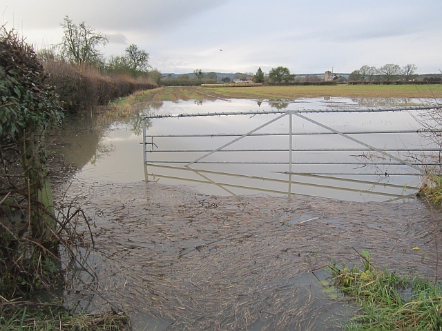
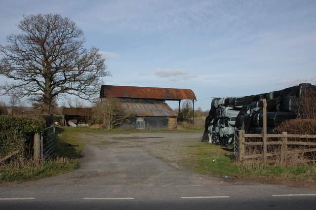
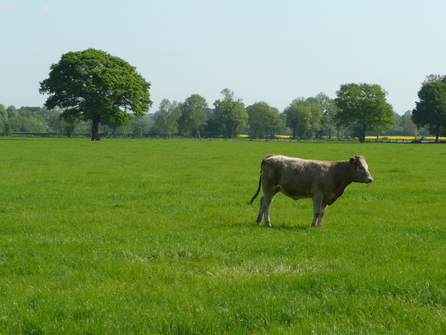
Cholstrey is known for its rich agricultural heritage, with farming playing a significant role in the local economy. The fertile soil and favorable climate make it an ideal location for various crops, including grains and orchard fruits. Livestock farming, particularly sheep and cattle rearing, is also prevalent in the area.
Although Cholstrey is a predominantly rural community, it benefits from its proximity to Hereford and other nearby towns. This provides residents with access to a wider range of amenities, including schools, shops, healthcare facilities, and recreational options.
The village is also well-positioned for outdoor enthusiasts, with numerous walking and cycling routes that showcase the natural beauty of the Herefordshire countryside. Visitors can explore the nearby woodlands, meandering streams, and enjoy breathtaking views from the surrounding hills.
In summary, Cholstrey offers a tranquil retreat in the heart of Herefordshire, characterized by its idyllic countryside, agricultural heritage, and a strong sense of community spirit.
If you have any feedback on the listing, please let us know in the comments section below.
Cholstrey Images
Images are sourced within 2km of 52.226541/-2.7919914 or Grid Reference SO4659. Thanks to Geograph Open Source API. All images are credited.
Cholstrey is located at Grid Ref: SO4659 (Lat: 52.226541, Lng: -2.7919914)
Unitary Authority: County of Herefordshire
Police Authority: West Mercia
What 3 Words
///behaving.eagle.timed. Near Kingsland, Herefordshire
Nearby Locations
Related Wikis

Monkland, Herefordshire
Monkland is a small village in the parish of Monkland and Stretford, in Herefordshire, England, about three miles (5 km) west of Leominster. == Origin... ==

Monkland Priory
Monkland Priory was a priory in Monkland, Herefordshire, England at grid reference SO46045768. == References ==
Monkland and Stretford
Monkland and Stretford is a civil parish in the English county and unitary authority of Herefordshire. The population of the civil parish at the 2011 census...

Kingsland, Herefordshire
Kingsland is a small village and civil parish in the English county of Herefordshire, 5 kilometres (3 mi) north-west of Leominster. The population of the...
Nearby Amenities
Located within 500m of 52.226541,-2.7919914Have you been to Cholstrey?
Leave your review of Cholstrey below (or comments, questions and feedback).