Cholsey
Settlement in Berkshire South Oxfordshire
England
Cholsey
Cholsey is a small village located in Berkshire, England. It is situated about 3 miles southwest of Wallingford and approximately 17 miles southeast of Oxford. The village sits on the River Thames, offering picturesque views and a tranquil atmosphere.
Cholsey has a rich history that can be traced back to the Roman times. In fact, evidence of Roman settlements has been found in the area, including pottery fragments and coins. The village was mentioned in the Domesday Book of 1086 as "Coleceia," indicating its long-standing presence.
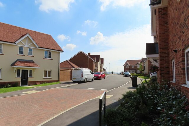
Today, Cholsey maintains its rural charm while providing modern amenities for its residents. The village has a range of facilities, including a primary school, a community center, and a local shop. There are also several pubs and restaurants that cater to both locals and visitors.
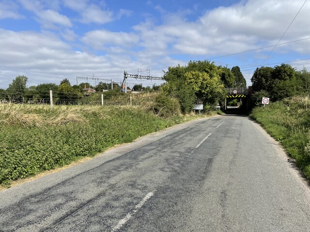
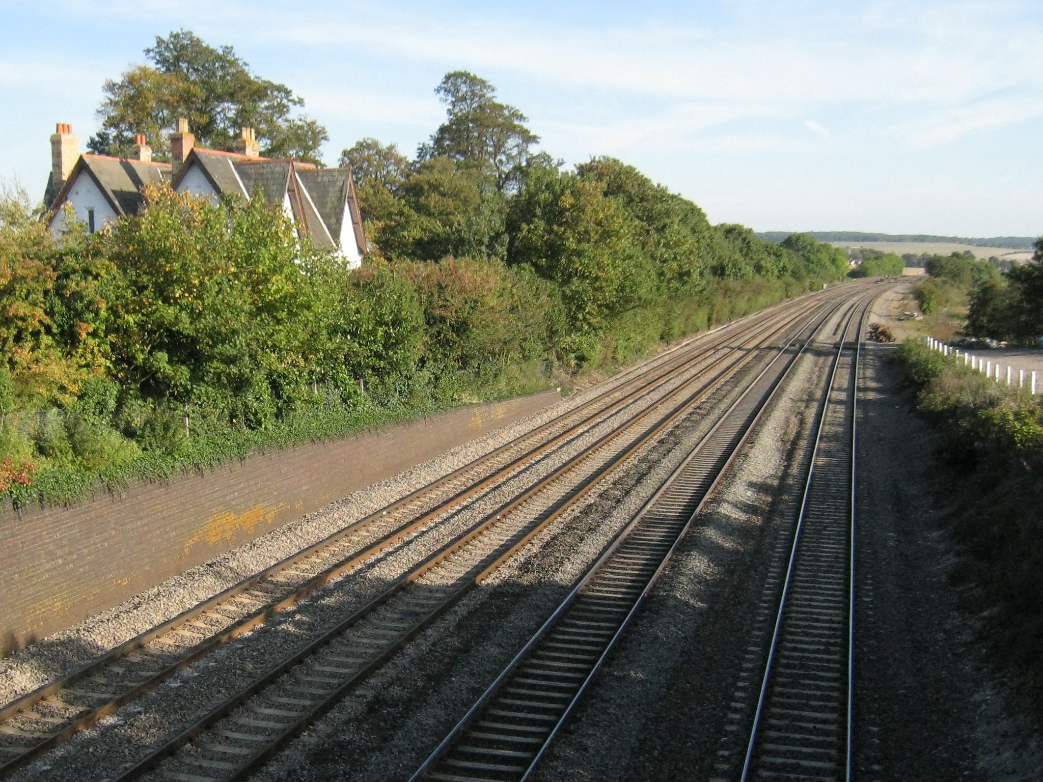
One of the notable attractions in Cholsey is the Cholsey and Wallingford Railway, a heritage railway that operates on the original Great Western Railway branch line. The railway offers scenic rides and is a popular destination for train enthusiasts.
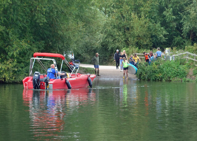
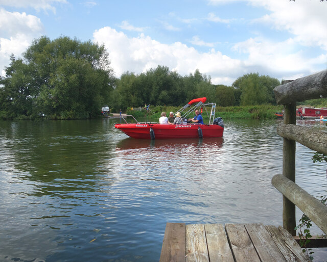
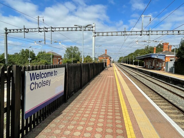
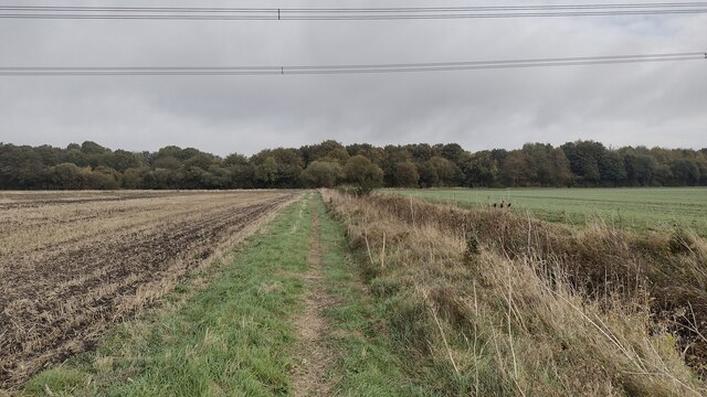
Cholsey is well-connected to other parts of Berkshire and Oxfordshire through public transportation. The village has its own train station, providing easy access to larger towns and cities. Additionally, Cholsey is surrounded by beautiful countryside, making it an ideal location for outdoor activities such as walking, cycling, and boating.
Overall, Cholsey offers a charming and peaceful setting with a touch of history, making it an attractive place to live or visit in Berkshire.
If you have any feedback on the listing, please let us know in the comments section below.
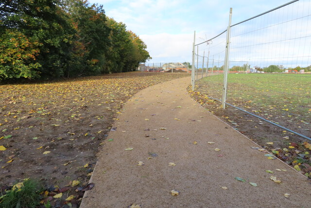
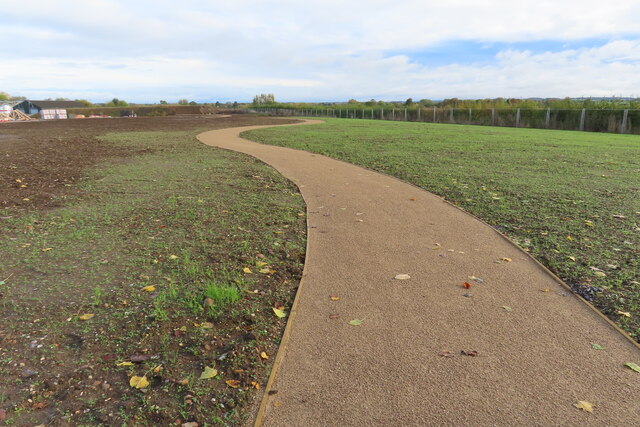
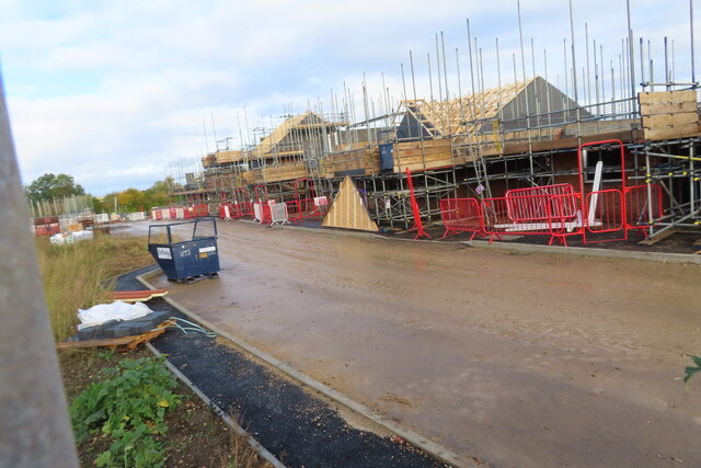
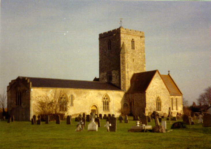
Cholsey Images
Images are sourced within 2km of 51.575009/-1.153359 or Grid Reference SU5886. Thanks to Geograph Open Source API. All images are credited.


Cholsey is located at Grid Ref: SU5886 (Lat: 51.575009, Lng: -1.153359)
Administrative County: Oxfordshire
District: South Oxfordshire
Police Authority: Thames Valley
What 3 Words
///possibly.musically.pile. Near Cholsey, Oxfordshire
Related Wikis
Cholsey
Cholsey is a village and civil parish 2 miles (3 km) south of Wallingford in South Oxfordshire. In 1974 it was transferred from Berkshire to Oxfordshire...

Cholsey Abbey
Cholsey Abbey was an Anglo-Saxon nunnery in Cholsey in the English county of Berkshire (now Oxfordshire), which was founded in 986. == History == After...

Cholsey railway station
Cholsey railway station (previously Cholsey & Moulsford) serves the village of Cholsey in south Oxfordshire, England, and the nearby town of Wallingford...

Fair Mile Hospital
Fair Mile Hospital (aka Fairmile Hospital) was a Lunatic asylum built in 1870 in the village of Cholsey, 2 miles (3 kilometers) south of Wallingford and...
Moulsford railway station
Moulsford railway station was on the original route of the Great Western Railway, being one of three intermediate stations provided when the line was extended...
Winterbrook
Winterbrook is a small settlement in the English county of Oxfordshire, which adjoins the south end of Wallingford and sits on the west bank of the Thames...

Cholsey Marsh
Cholsey Marsh is a 19-hectare (47-acre) nature reserve near Cholsey in Oxfordshire, England. It is managed by the Berkshire, Buckinghamshire and Oxfordshire...
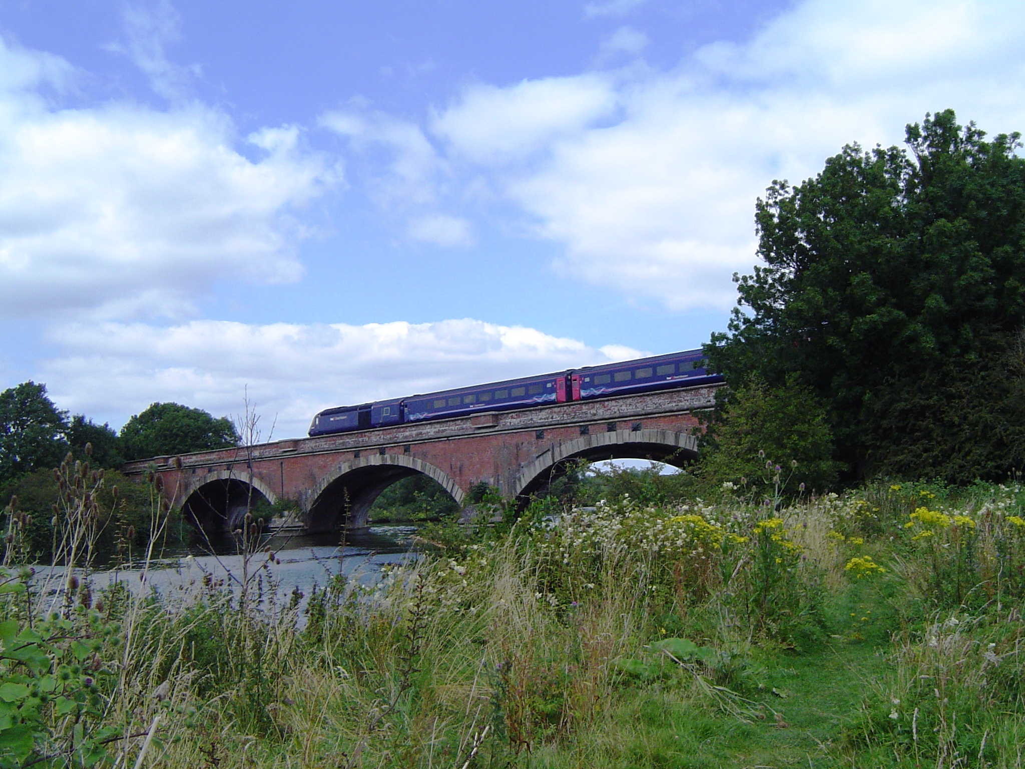
Moulsford Railway Bridge
Moulsford Railway Bridge, also known locally as "Four Arches" bridge, is a pair of parallel bridges located a little to the north of Moulsford and South...
Nearby Amenities
Located within 500m of 51.575009,-1.153359Have you been to Cholsey?
Leave your review of Cholsey below (or comments, questions and feedback).