Cholwell

Settlement in Somerset

England

Cholwell

Nanny Hurn's Lane The southern end of Nanny Hurn's Lane at Lower Farm.  The tarmac disappears once you have passed Camway Cottage.
Nanny Hurn's Lane Credit: James Ayres

Cholwell is a small rural village located in the county of Somerset, England. Situated approximately 6 miles south of the market town of Shepton Mallet, it is nestled within the picturesque Mendip Hills Area of Outstanding Natural Beauty.

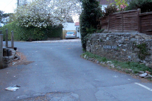
With a population of just over 200 residents, Cholwell exudes a tranquil and idyllic atmosphere. The village is characterized by its charming collection of traditional stone cottages, many of which date back several centuries. Surrounded by rolling green fields and meandering streams, Cholwell offers residents and visitors alike a peaceful retreat from the hustle and bustle of city life.

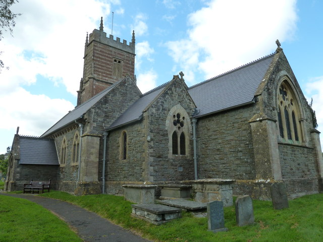
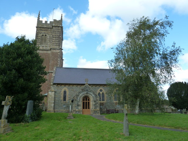
Despite its small size, Cholwell boasts a strong sense of community. The village is home to a beautiful 14th-century parish church, St. Mary's, which serves as a focal point for local gatherings and events. Cholwell also has a village hall, which hosts various community activities such as craft fairs, yoga classes, and local meetings.

The surrounding countryside provides ample opportunities for outdoor enthusiasts to explore and enjoy nature. The Mendip Hills offer fantastic walking and hiking trails, with stunning views of the Somerset countryside. Cheddar Gorge, a world-famous limestone gorge, is just a short drive away and is a popular destination for rock climbing, hiking, and cave exploring.

While Cholwell may lack major amenities and services, it benefits from its close proximity to nearby towns and cities. Residents can easily access a range of shops, supermarkets, and healthcare facilities in Shepton Mallet and the nearby city of Wells.

In summary, Cholwell is an enchanting village in Somerset that offers a serene and picturesque setting, perfect for those seeking a peaceful rural lifestyle.

If you have any feedback on the listing, please let us know in the comments section below.
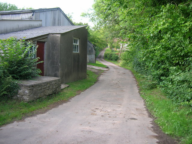
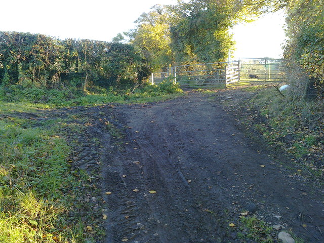
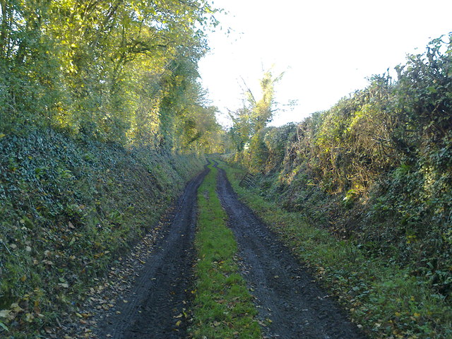
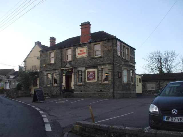
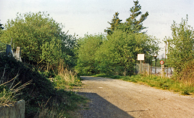
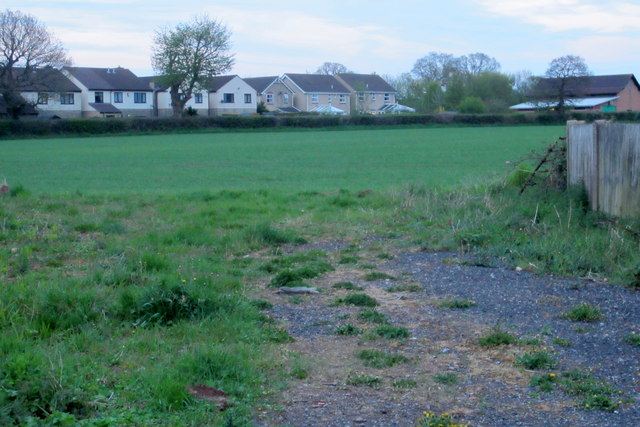
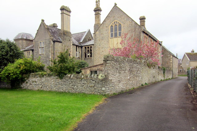
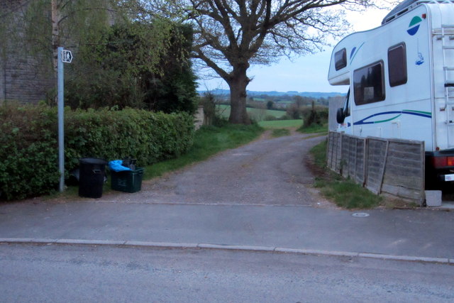
Cholwell Images

Images are sourced within 2km of 51.326323/-2.550368 or Grid Reference ST6158. Thanks to Geograph Open Source API. All images are credited.

Nanny Hurn's Lane The southern end of Nanny Hurn's Lane at Lower Farm.  The tarmac disappears once you have passed Camway Cottage.
Nanny Hurn's Lane
The southern end of Nanny Hurn's Lane at Lower Farm. The tarmac disappears once you have passed Camway Cottage.
The end of the Byway The byway ends with a broad muddy area in front of the double gated field entrance.
The end of the Byway
The byway ends with a broad muddy area in front of the double gated field entrance.
Well used Byway This short section of 'Byway Open to All Traffic' provides access to fields for large tractors and other vehicles.
Well used Byway
This short section of 'Byway Open to All Traffic' provides access to fields for large tractors and other vehicles.
The Railway Inn, Clutton
A37 northbound
A37 northbound
St Augustine of Hippo, Clutton: September 2012
St Augustine of Hippo, Clutton: churchyard (A)
St Augustine of Hippo, Clutton: churchyard (B)
St Augustine of Hippo, Clutton: churchyard (C)
St Augustine of Hippo, Clutton: churchyard (D)
St Augustine of Hippo, Clutton: churchyard (E)
St Augustine of Hippo, Clutton: churchyard (F)
St Augustine of Hippo, Clutton: noticeboard
Site of Clutton station View NW off Station Road, in general direction of Bristol: ex-GW Bristol - Radstock - Frome line, closed 2/11/59 to passengers, 10/6/63 to goods.
Site of Clutton station
View NW off Station Road, in general direction of Bristol: ex-GW Bristol - Radstock - Frome line, closed 2/11/59 to passengers, 10/6/63 to goods.
Footpath towards Cloud Hill
The Old Courthouse
The Old Courthouse
Footpath from Paulmont Rise
Paulwood Road
Paulwood Road
Show me another place!

Cholwell is located at Grid Ref: ST6158 (Lat: 51.326323, Lng: -2.550368)

Unitary Authority: Bath and North East Somerset

Police Authority: Avon and Somerset

What 3 Words

///mostly.canyons.unfocused. Near Clutton, Somerset

Nearby Locations

Cholwell

Related Wikis

Cholwell, Cameley

Cholwell is a historic hamlet and manor in the parish of Cameley, Somerset, England. The manor house, Cholwell House, was rebuilt in 1855 by William Rees...

Church of St Augustine, Clutton

The Church of St Augustine is an Anglican parish church in Clutton Somerset, England. It was originally built around 1290, but much of it has been rebuilt...

Clutton, Somerset

Clutton is a village and civil parish on the eastern edge of the affluent Chew Valley, close to the Cam Brook river, in the Bath and North East Somerset...

Clutton Rural District

Clutton was a rural district in Somerset, England, from 1894 to 1974. It was created in 1894 under the Local Government Act 1894 as a successor to the...

Nearby Amenities

Located within 500m of 51.326323,-2.550368
Bus Stop
Cholwell
Naptan AtcoCode: 0180BAC30926
Naptan Bearing: SE
Naptan CommonName: Cholwell
Naptan NaptanCode: bthagwt
Naptan Street: Bristol Road
Naptan Verified: no
Source: naptan_import
Lat/Long: 51.3250899/-2.5476336
Bus Stop
Cholwell Farm
Naptan AtcoCode: 0180BAC30927
Naptan Bearing: N
Naptan CommonName: Cholwell Farm
Naptan NaptanCode: bthagtp
Naptan Street: Bristol Road
Naptan Verified: no
Source: naptan_import
Lat/Long: 51.3260454/-2.5490659
Bus Stop
Station Road
Naptan AtcoCode: 0180BAC30928
Naptan Bearing: N
Naptan CommonName: Station Road
Naptan Crossing: Station Road
Naptan NaptanCode: bthagwp
Naptan Street: Upper Bristol Road
Naptan Verified: no
Shelter: yes
Source: naptan_import
Lat/Long: 51.3302149/-2.5477377
Bus Stop
Station Road
Bench: no
Bin: no
Naptan AtcoCode: 0180BAC30930
Naptan Bearing: S
Naptan CommonName: Station Road
Naptan Crossing: Station Road
Naptan NaptanCode: bthajam
Naptan Street: Bristol Road
Naptan Verified: no
Shelter: no
Source: naptan_import
Lat/Long: 51.3292085/-2.5475966
Barrier: kissing_gate
Lat/Long: 51.3284566/-2.5443786
Cholwell
Place: hamlet
Lat/Long: 51.3275817/-2.5501583
Post Box
Brand: Royal Mail
Brand Wikidata: Q638098
Mapillary: 445008270700055
Operator: Royal Mail
Operator Wikidata: Q638098
Post Box Mounting: stone_wall
Post Box Type: wall
Survey Date: 2022-05-28
Lat/Long: 51.3249228/-2.5474091
The data included in this document is from www.openstreetmap.org. The data is made available under ODbL.

Have you been to Cholwell?

Leave your review of Cholwell below (or comments, questions and feedback).