Row Moor Brake

Wood, Forest in Devon Mid Devon

England

Row Moor Brake

Old Boundary Marker on Great Wooden Bridge Parish Boundary Marker against the south end of the east parapet of Great Wooden Bridge. On the boundary of Zeal Monachorum and North Tawton parishes. 
Inscribed ZEAL / P and N / TAWTON / P on adjacent faces.
Grade II Listed details <span class="nowrap"><a title="https://historicengland.org.uk/listing/the-list/list-entry/1163290" rel="nofollow ugc noopener" href="https://historicengland.org.uk/listing/the-list/list-entry/1163290">Link</a><img style="margin-left:2px;" alt="External link" title="External link - shift click to open in new window" src="https://s1.geograph.org.uk/img/external.png" width="10" height="10"/></span>. See also <a title="https://www.geograph.org.uk/photo/3225790" href="https://www.geograph.org.uk/photo/3225790">Link</a>.

Milestone Society National ID: DV_ZMNT01pb
Old Boundary Marker on Great Wooden Bridge Credit: A Rosevear

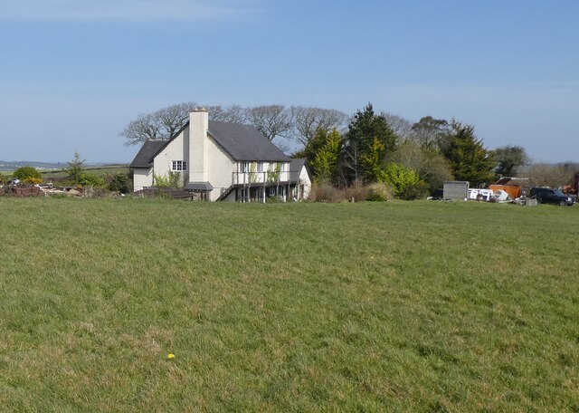
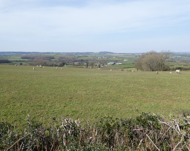
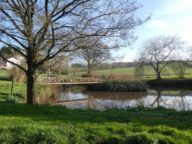
Row Moor Brake is a picturesque woodland area located in Devon, England. The forest is known for its diverse range of flora and fauna, as well as its peaceful and tranquil atmosphere. Covering an area of approximately 100 acres, Row Moor Brake is a popular destination for nature lovers, hikers, and bird watchers.

The woodland is primarily composed of deciduous trees such as oak, beech, and ash, which provide a dense canopy overhead. The forest floor is covered in a thick layer of moss, ferns, and wildflowers, creating a rich and diverse ecosystem for plants and animals to thrive.

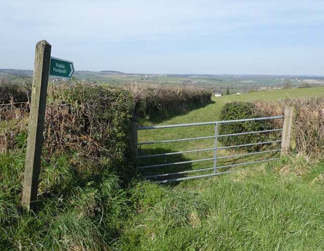
Visitors to Row Moor Brake can enjoy a network of walking trails that wind through the forest, offering opportunities to explore the natural beauty of the area. The forest is also home to a variety of wildlife, including deer, squirrels, and a wide range of bird species.

Overall, Row Moor Brake is a peaceful and idyllic woodland retreat, perfect for those looking to escape the hustle and bustle of everyday life and immerse themselves in the beauty of nature.

If you have any feedback on the listing, please let us know in the comments section below.

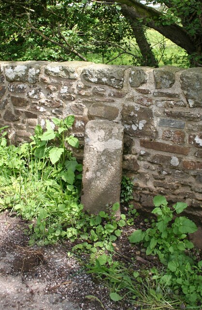
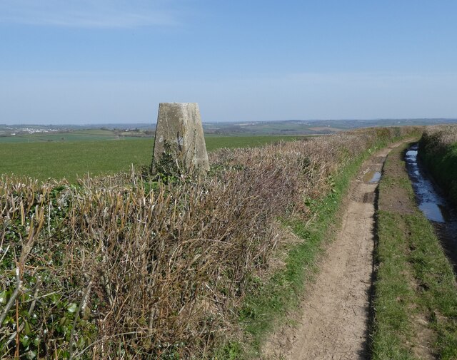
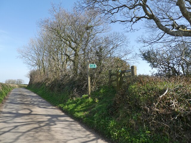
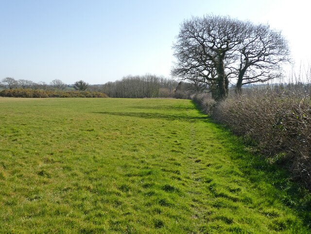
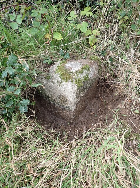
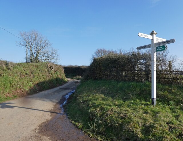
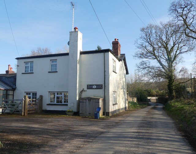
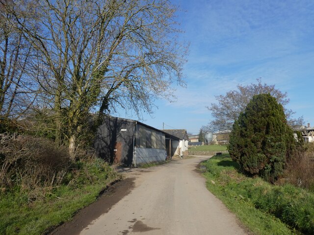
Row Moor Brake Images

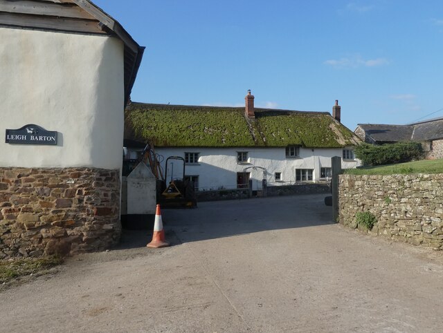
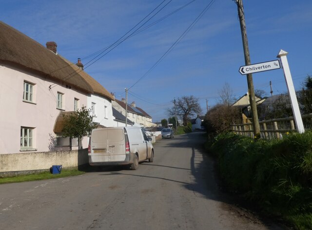
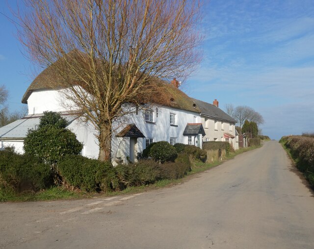
Images are sourced within 2km of 50.828243/-3.8511028 or Grid Reference SS6904. Thanks to Geograph Open Source API. All images are credited.

Old Boundary Marker on Great Wooden Bridge Parish Boundary Marker against the south end of the east parapet of Great Wooden Bridge. On the boundary of Zeal Monachorum and North Tawton parishes. 
Inscribed ZEAL / P and N / TAWTON / P on adjacent faces.
Grade II Listed details <span class="nowrap"><a title="https://historicengland.org.uk/listing/the-list/list-entry/1163290" rel="nofollow ugc noopener" href="https://historicengland.org.uk/listing/the-list/list-entry/1163290">Link</a><img style="margin-left:2px;" alt="External link" title="External link - shift click to open in new window" src="https://s1.geograph.org.uk/img/external.png" width="10" height="10"/></span>. See also <a title="https://www.geograph.org.uk/photo/3225790" href="https://www.geograph.org.uk/photo/3225790">Link</a>.

Milestone Society National ID: DV_ZMNT01pb
Old Boundary Marker on Great Wooden Bridge
Parish Boundary Marker against the south end of the east parapet of Great Wooden Bridge. On the boundary of Zeal Monachorum and North Tawton parishes. Inscribed ZEAL / P and N / TAWTON / P on adjacent faces. Grade II Listed details LinkExternal link. See also Link. Milestone Society National ID: DV_ZMNT01pb
Trig point near Birch Cross
Footpath sign near Southdown
Path to Foldhay
Path to Foldhay
'Southdown'
'Southdown'
Footpath to Birch Farm
Pasture, above East Leigh
Field near Bankland Farm
Coldridge : The B3220 Looking along the B3220 through the Coldridge parish.
Coldridge : The B3220
Looking along the B3220 through the Coldridge parish.
Old Boundary Marker Parish Boundary Marker sunk in the grass verge beside a fingerpost on the northwest side of the crossroads at Farley's Grave. On the boundary of Zeal Manachorum and Coldridge parishes. Inscribed ZEAL / MONACHORUM and COLD / RIDGE. Grade II Listed details <span class="nowrap"><a title="https://historicengland.org.uk/listing/the-list/list-entry/1277820" rel="nofollow ugc noopener" href="https://historicengland.org.uk/listing/the-list/list-entry/1277820">Link</a><img style="margin-left:2px;" alt="External link" title="External link - shift click to open in new window" src="https://s1.geograph.org.uk/img/external.png" width="10" height="10"/></span>. See also <span class="nowrap"><a title="http://www.flickr.com/photos/bridgemarkertim/5330935568/" rel="nofollow ugc noopener" href="http://www.flickr.com/photos/bridgemarkertim/5330935568/">Link</a><img style="margin-left:2px;" alt="External link" title="External link - shift click to open in new window" src="https://s1.geograph.org.uk/img/external.png" width="10" height="10"/></span>.

Milestone Society National ID: DV_NTHO02pb
Old Boundary Marker
Parish Boundary Marker sunk in the grass verge beside a fingerpost on the northwest side of the crossroads at Farley's Grave. On the boundary of Zeal Manachorum and Coldridge parishes. Inscribed ZEAL / MONACHORUM and COLD / RIDGE. Grade II Listed details LinkExternal link. See also LinkExternal link. Milestone Society National ID: DV_NTHO02pb
Southmoor Cross
Southmoor Cross
Minor road to Coldridge
Brookside Cottage
Brookside Cottage
Approaching East Leigh
Pond at East Leigh
Pond at East Leigh
Leigh Barton
Leigh Barton
Turning for Chilverton
Cottages at Leigh Cross
Show me another place!

Row Moor Brake is located at Grid Ref: SS6904 (Lat: 50.828243, Lng: -3.8511028)

Administrative County: Devon

District: Mid Devon

Police Authority: Devon and Cornwall

What 3 Words

///shameless.hammer.ogre. Near Bow, Devon

Related Wikis

Zeal Monachorum

Zeal Monachorum (; Latin translation Cell of the Monks) is a village and civil parish in the Mid Devon district of Devon, England, about 18 miles (29 km...

Coldridge

Coldridge or Coleridge is a village and parish in Devon, England. It appears in the Domesday Book of 1086 as Colrige, which is thought to mean ‘the ridge...

Brushford, Devon

Brushford is a village and civil parish in the Mid Devon district of Devon in England. According to the 2001 census it had a population of 59. The village...

Nymet Rowland

Nymet Rowland is a small village, and civil parish of the same name, in central Devon, England, north of Dartmoor. It takes part of its name from "Nymet...

Have you been to Row Moor Brake?

Leave your review of Row Moor Brake below (or comments, questions and feedback).