Barton Copse
Wood, Forest in Devon West Devon
England
Barton Copse
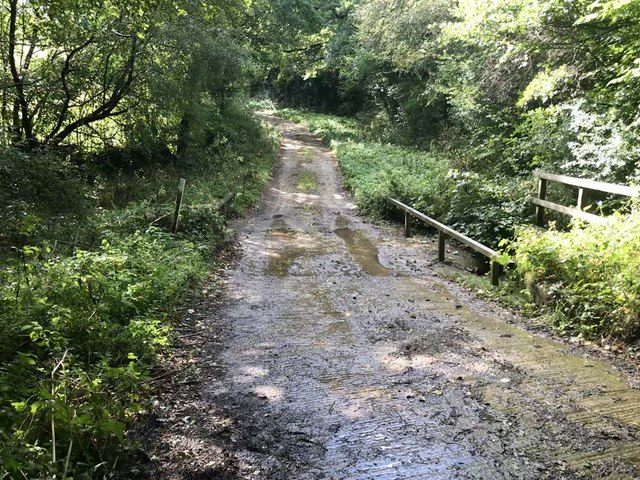
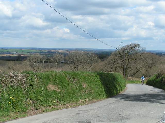
Barton Copse is a picturesque woodland located in the county of Devon, England. Situated near the village of Barton, this enchanting forest covers an area of approximately 50 hectares. The copse is renowned for its natural beauty and diverse range of flora and fauna, making it a popular destination for nature enthusiasts and outdoor lovers.
The woodland is predominantly composed of native tree species such as oak, beech, and birch, which create a dense canopy overhead, providing shelter and habitat for numerous woodland creatures. The forest floor is adorned with a carpet of bluebells in the spring, creating a stunning display of color and fragrance.
Tranquil walking trails wind their way through Barton Copse, allowing visitors to immerse themselves in the peaceful surroundings and explore the woodland's hidden gems. These paths lead to secluded clearings and tranquil streams, providing ample opportunities for relaxation and contemplation.
Barton Copse is also home to a rich variety of wildlife, including deer, badgers, foxes, and a plethora of bird species. Birdwatchers can spot common woodland birds such as woodpeckers, owls, and nuthatches, among others. The copse is a designated Site of Special Scientific Interest (SSSI), further highlighting its ecological significance.
The copse is easily accessible, with a car park located nearby, and is open to the public throughout the year. Whether you are seeking a peaceful stroll, a chance to connect with nature, or simply a break from the hustle and bustle of everyday life, Barton Copse offers a serene and idyllic retreat in the heart of Devon's stunning countryside.
If you have any feedback on the listing, please let us know in the comments section below.
Barton Copse Images
Images are sourced within 2km of 50.753518/-3.8481809 or Grid Reference SX6996. Thanks to Geograph Open Source API. All images are credited.


Barton Copse is located at Grid Ref: SX6996 (Lat: 50.753518, Lng: -3.8481809)
Administrative County: Devon
District: West Devon
Police Authority: Devon and Cornwall
What 3 Words
///wades.gashes.vessel. Near Bow, Devon
Nearby Locations
Related Wikis
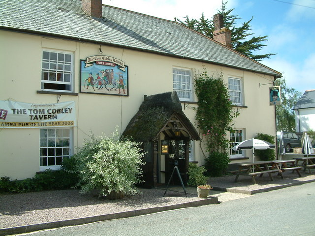
Tom Cobley Tavern
The Tom Cobley Tavern is a pub in Spreyton, Devon, England. It dates back to the 16th century, and may be the 1802 starting point of Uncle Tom Cobley and...

Spreyton
Spreyton is a small rural village just north of Dartmoor in Devon, England. Spreyton is famous for its connection to the tale of “Old Uncle Tom Cobley...
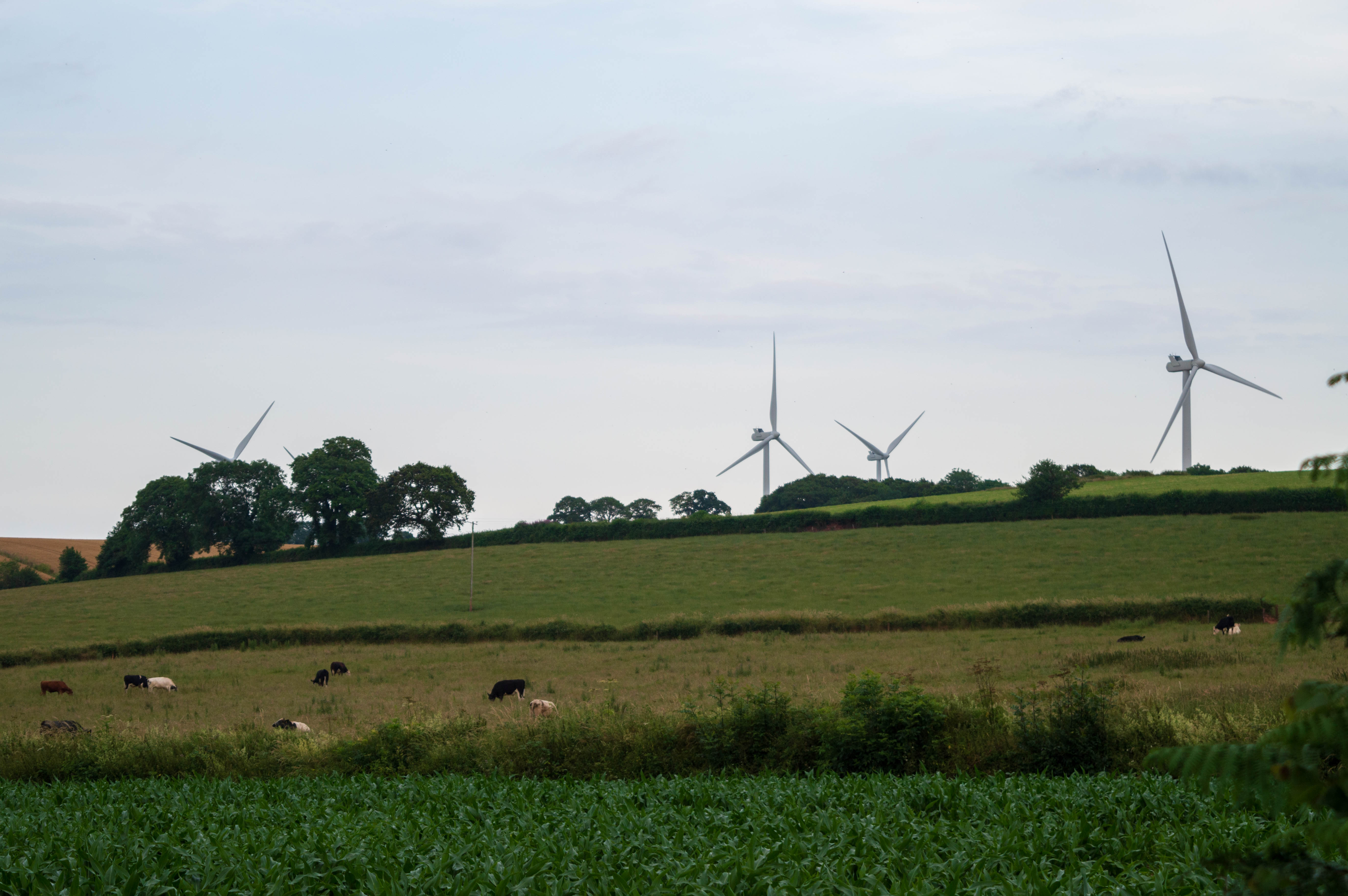
Den Brook Wind Farm
Den Brook Wind Farm is a windfarm in Devon, England. The windfarm is located 2 kilometres (1.2 mi) south-east of North Tawton and 2.5 kilometres (1.6 mi...

St Andrew's Church, Hittisleigh
St Andrew's Church, Hittisleigh, is an Anglican parish church in Hittisleigh in Mid Devon. It is listed Grade I on the National Heritage List for England...
Hittisleigh
Hittisleigh is a small rural parish and village just north-east of Dartmoor in Devon. Once part of the ancient district of the Wonford Hundred, it is now...
Whiddon Down
Whiddon Down is a hamlet within the parish of Drewsteignton in Devon. == Location == The hamlet lies on the old east–west A30 (London-Penzance) road, between...
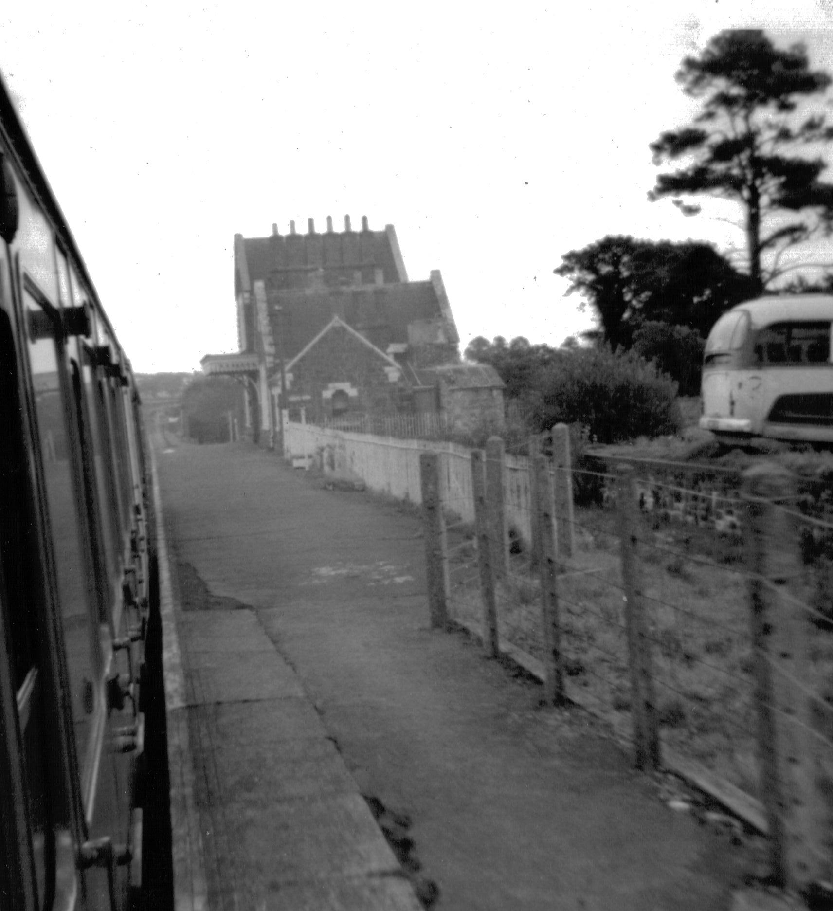
Bow railway station (Devon)
Bow railway station was a railway station serving the village of Bow and the hamlet of Nymet Tracy in Devon. Bow lies about 8 miles west of Crediton....
North Wyke
North Wyke is an historic manor in the parish of South Tawton, Devon. The surviving grade I listed manor house, the original Devonshire seat of the Wyke...
Nearby Amenities
Located within 500m of 50.753518,-3.8481809Have you been to Barton Copse?
Leave your review of Barton Copse below (or comments, questions and feedback).