Long Aller Plantation

Wood, Forest in Devon Mid Devon

England

Long Aller Plantation

Old Boundary Marker on Great Wooden Bridge Parish Boundary Marker against the south end of the east parapet of Great Wooden Bridge. On the boundary of Zeal Monachorum and North Tawton parishes. 
Inscribed ZEAL / P and N / TAWTON / P on adjacent faces.
Grade II Listed details <span class="nowrap"><a title="https://historicengland.org.uk/listing/the-list/list-entry/1163290" rel="nofollow ugc noopener" href="https://historicengland.org.uk/listing/the-list/list-entry/1163290">Link</a><img style="margin-left:2px;" alt="External link" title="External link - shift click to open in new window" src="https://s1.geograph.org.uk/img/external.png" width="10" height="10"/></span>. See also <a title="https://www.geograph.org.uk/photo/3225790" href="https://www.geograph.org.uk/photo/3225790">Link</a>.

Milestone Society National ID: DV_ZMNT01pb
Old Boundary Marker on Great Wooden Bridge Credit: A Rosevear

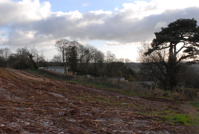
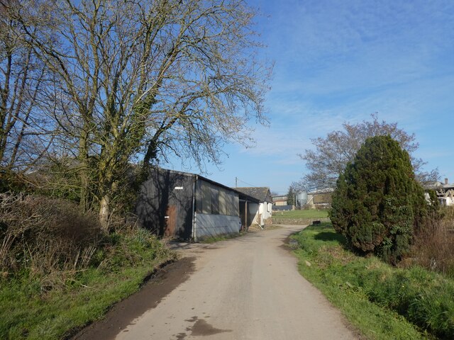
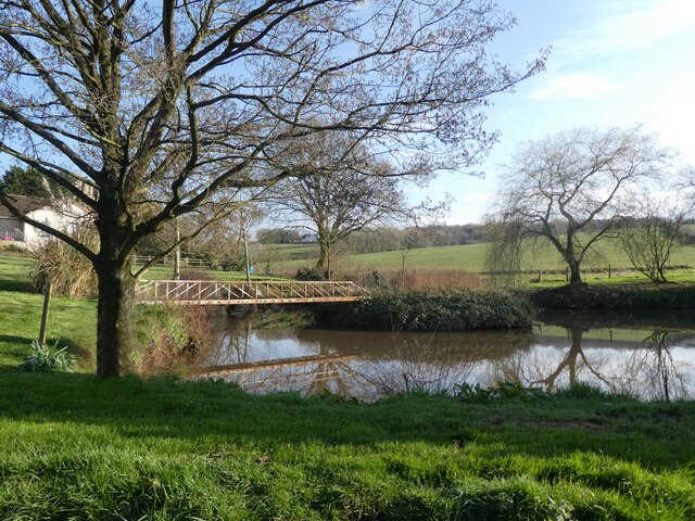
Long Aller Plantation is a picturesque woodland located in Devon, England. Covering an area of approximately 100 acres, the plantation is home to a variety of native tree species including oak, beech, and ash. The woodland is well-maintained and features well-defined pathways for visitors to explore and enjoy the natural beauty of the area.

Long Aller Plantation is a popular destination for nature lovers, hikers, and birdwatchers. The woodland provides a habitat for a diverse range of wildlife, including deer, squirrels, and a variety of bird species. Visitors may also spot wildflowers and other flora throughout the woodland, adding to its charm and beauty.

The plantation is a peaceful and tranquil setting, offering visitors a chance to escape the hustle and bustle of everyday life and immerse themselves in the sights and sounds of nature. Whether taking a leisurely stroll, birdwatching, or simply enjoying a picnic surrounded by the peaceful woodland, Long Aller Plantation provides a serene and rejuvenating experience for all who visit.

If you have any feedback on the listing, please let us know in the comments section below.

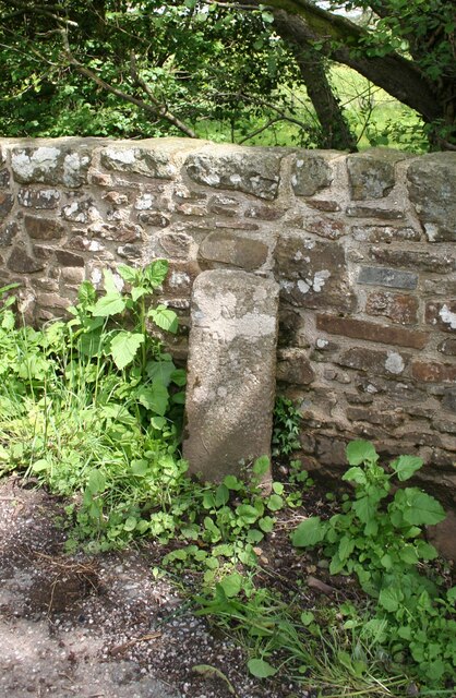
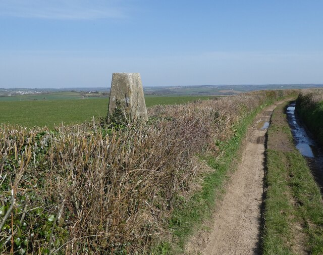
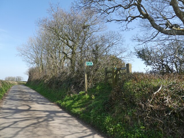
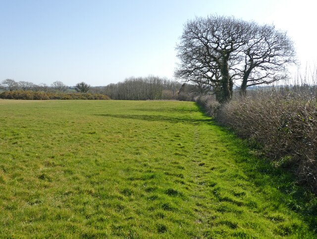
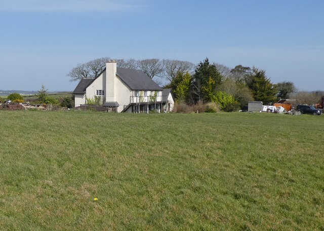
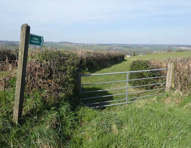
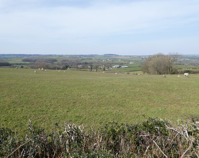
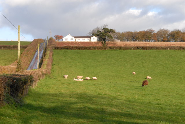
Long Aller Plantation Images

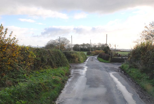
Images are sourced within 2km of 50.823209/-3.8521247 or Grid Reference SS6904. Thanks to Geograph Open Source API. All images are credited.

Old Boundary Marker on Great Wooden Bridge Parish Boundary Marker against the south end of the east parapet of Great Wooden Bridge. On the boundary of Zeal Monachorum and North Tawton parishes. 
Inscribed ZEAL / P and N / TAWTON / P on adjacent faces.
Grade II Listed details <span class="nowrap"><a title="https://historicengland.org.uk/listing/the-list/list-entry/1163290" rel="nofollow ugc noopener" href="https://historicengland.org.uk/listing/the-list/list-entry/1163290">Link</a><img style="margin-left:2px;" alt="External link" title="External link - shift click to open in new window" src="https://s1.geograph.org.uk/img/external.png" width="10" height="10"/></span>. See also <a title="https://www.geograph.org.uk/photo/3225790" href="https://www.geograph.org.uk/photo/3225790">Link</a>.

Milestone Society National ID: DV_ZMNT01pb
Old Boundary Marker on Great Wooden Bridge
Parish Boundary Marker against the south end of the east parapet of Great Wooden Bridge. On the boundary of Zeal Monachorum and North Tawton parishes. Inscribed ZEAL / P and N / TAWTON / P on adjacent faces. Grade II Listed details LinkExternal link. See also Link. Milestone Society National ID: DV_ZMNT01pb
Trig point near Birch Cross
Footpath sign near Southdown
Path to Foldhay
Path to Foldhay
'Southdown'
'Southdown'
Footpath to Birch Farm
Pasture, above East Leigh
Field near Bankland Farm
Sheep grazing (2) Similar photo as earlier but taken from the entrance drive to Nichols Nymett Hotel.
Sheep grazing (2)
Similar photo as earlier but taken from the entrance drive to Nichols Nymett Hotel.
Harvested field The arable crop has recently been harvested, now the holiday accommodation at the hotel is visible.
Harvested field
The arable crop has recently been harvested, now the holiday accommodation at the hotel is visible.
Road junctions For a minor narrow country lane, there are a lot of crossing and junctions.
Road junctions
For a minor narrow country lane, there are a lot of crossing and junctions.
Nichols Nymett Cross The road junction described as Nichols Nymett Cross.
Nichols Nymett Cross
The road junction described as Nichols Nymett Cross.
Ruby Red Sheep The normally white sheep have a reddish hue from coming into contact with the red Devon soil.
Ruby Red Sheep
The normally white sheep have a reddish hue from coming into contact with the red Devon soil.
Old Boundary Marker Parish Boundary Marker sunk in the grass verge beside a fingerpost on the northwest side of the crossroads at Farley's Grave. On the boundary of Zeal Manachorum and Coldridge parishes. Inscribed ZEAL / MONACHORUM and COLD / RIDGE. Grade II Listed details <span class="nowrap"><a title="https://historicengland.org.uk/listing/the-list/list-entry/1277820" rel="nofollow ugc noopener" href="https://historicengland.org.uk/listing/the-list/list-entry/1277820">Link</a><img style="margin-left:2px;" alt="External link" title="External link - shift click to open in new window" src="https://s1.geograph.org.uk/img/external.png" width="10" height="10"/></span>. See also <span class="nowrap"><a title="http://www.flickr.com/photos/bridgemarkertim/5330935568/" rel="nofollow ugc noopener" href="http://www.flickr.com/photos/bridgemarkertim/5330935568/">Link</a><img style="margin-left:2px;" alt="External link" title="External link - shift click to open in new window" src="https://s1.geograph.org.uk/img/external.png" width="10" height="10"/></span>.

Milestone Society National ID: DV_NTHO02pb
Old Boundary Marker
Parish Boundary Marker sunk in the grass verge beside a fingerpost on the northwest side of the crossroads at Farley's Grave. On the boundary of Zeal Manachorum and Coldridge parishes. Inscribed ZEAL / MONACHORUM and COLD / RIDGE. Grade II Listed details LinkExternal link. See also LinkExternal link. Milestone Society National ID: DV_NTHO02pb
Boundary Stone on the way to Westworthy On the left face there is faint writing which spells 'Bondleigh P' and on this face it spells 'Zeal P'. On the top of the stone there is a rivet benchmark. 
It seems to have been exposed by the farmr who had widened the adjacent field gate.
Boundary Stone on the way to Westworthy
On the left face there is faint writing which spells 'Bondleigh P' and on this face it spells 'Zeal P'. On the top of the stone there is a rivet benchmark. It seems to have been exposed by the farmr who had widened the adjacent field gate.
Brookside Cottage
Brookside Cottage
Approaching East Leigh
Pond at East Leigh
Pond at East Leigh
Show me another place!

Long Aller Plantation is located at Grid Ref: SS6904 (Lat: 50.823209, Lng: -3.8521247)

Administrative County: Devon

District: Mid Devon

Police Authority: Devon and Cornwall

What 3 Words

///already.blemishes.breeding. Near Bow, Devon

Related Wikis

Zeal Monachorum

Zeal Monachorum (; Latin translation Cell of the Monks) is a village and civil parish in the Mid Devon district of Devon, England, about 18 miles (29 km...

Coldridge

Coldridge or Coleridge is a village and parish in Devon, England. It appears in the Domesday Book of 1086 as Colrige, which is thought to mean ‘the ridge...

Bow, Devon

Bow () is a village and civil parish in the Mid Devon district of Devon, England, about 8 miles (13 km) west of Crediton. According to the 2001 census...

Brushford, Devon

Brushford is a village and civil parish in the Mid Devon district of Devon in England. According to the 2001 census it had a population of 59. The village...

Nearby Amenities

Located within 500m of 50.823209,-3.8521247
The data included in this document is from www.openstreetmap.org. The data is made available under ODbL.

Have you been to Long Aller Plantation?

Leave your review of Long Aller Plantation below (or comments, questions and feedback).