Anderton

Settlement in Cornwall

England

Anderton

St Germanus' Church, Rame The Grade I listed church  dates to the 13th and 15th centuries. St. Germanus, a bishop of Auxerre in Late Antique Gaul is supposed to have landed in the neighbourhood when he came to Britain to suppress the Pelagian heresy in about 429. The church underwent restoration in 1848and again in 1883–1885, the latter  at the sole expense of Kenelm William Edward Edgcumbe, the 6th Earl of Mount Edgcumbe.
St Germanus' Church, Rame Credit: Richard Rogerson

Anderton is a small village located in the county of Cornwall, in southwestern England. Situated near the town of St Austell, Anderton is nestled in a picturesque rural setting, surrounded by rolling hills and verdant countryside. The village is characterized by its tranquil and idyllic atmosphere, offering residents and visitors alike a peaceful escape from the hustle and bustle of urban life.

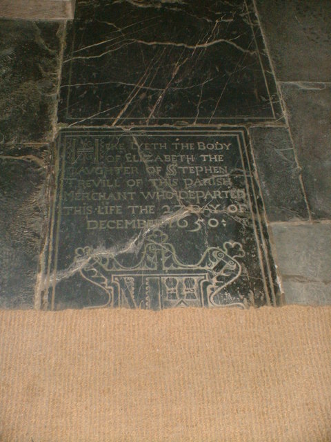
Although small in size, Anderton boasts a rich history, with evidence of human habitation dating back thousands of years. The village is home to several well-preserved ancient landmarks, including a Neolithic burial chamber known as the King's Grave and a Bronze Age barrow. These historical sites provide a glimpse into the village's past and attract history enthusiasts from far and wide.

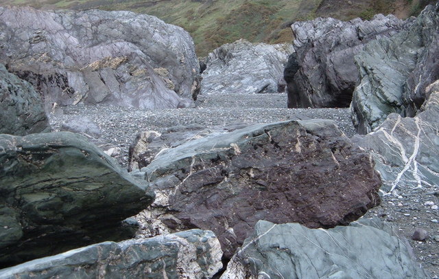
Anderton is also known for its stunning natural beauty. The village is located within close proximity to the famous Eden Project, a world-renowned ecological park that showcases a diverse range of plants from around the globe. This proximity to such a renowned attraction ensures that Anderton is a popular destination for tourists seeking to explore the natural wonders of Cornwall.

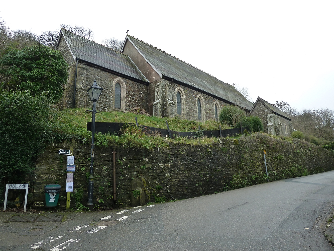
The village itself is characterized by charming cottages and traditional stone buildings, giving it a quintessentially English feel. Anderton also boasts a close-knit community, with friendly locals who take pride in their village and its heritage. Although primarily residential, the village is well-served by nearby amenities, including shops, pubs, and schools.

In conclusion, Anderton offers a serene and picturesque retreat in the heart of Cornwall. With its rich history, stunning natural surroundings, and welcoming community, it is a hidden gem for those seeking a tranquil escape in this beautiful part of England.

If you have any feedback on the listing, please let us know in the comments section below.
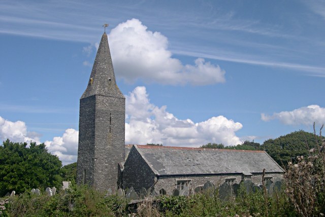
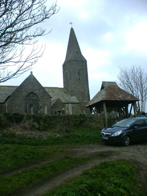
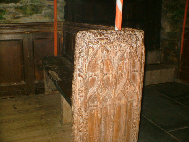
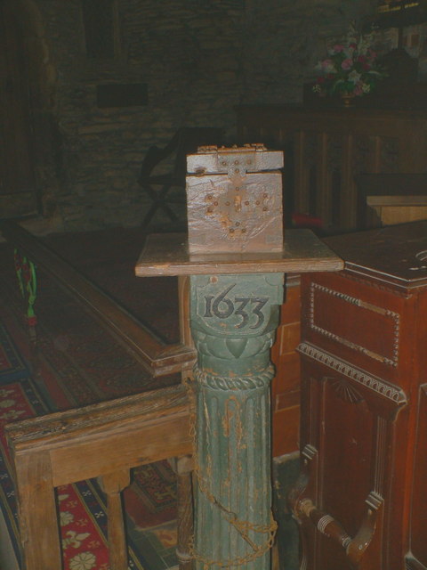
Anderton Images

Images are sourced within 2km of 50.337679/-4.2216177 or Grid Reference SX4251. Thanks to Geograph Open Source API. All images are credited.

St Germanus' Church, Rame The Grade I listed church  dates to the 13th and 15th centuries. St. Germanus, a bishop of Auxerre in Late Antique Gaul is supposed to have landed in the neighbourhood when he came to Britain to suppress the Pelagian heresy in about 429. The church underwent restoration in 1848and again in 1883–1885, the latter  at the sole expense of Kenelm William Edward Edgcumbe, the 6th Earl of Mount Edgcumbe.
St Germanus' Church, Rame
The Grade I listed church dates to the 13th and 15th centuries. St. Germanus, a bishop of Auxerre in Late Antique Gaul is supposed to have landed in the neighbourhood when he came to Britain to suppress the Pelagian heresy in about 429. The church underwent restoration in 1848and again in 1883–1885, the latter at the sole expense of Kenelm William Edward Edgcumbe, the 6th Earl of Mount Edgcumbe.
Lych Gate, St Germanus' Church, Rame As with many old lych gates, there is a bier or lych stone to rest the coffin on until the clergyman's arrival.
Lych Gate, St Germanus' Church, Rame
As with many old lych gates, there is a bier or lych stone to rest the coffin on until the clergyman's arrival.
Rame Church The church is situated between the tiny village of Rame and the headland of the Rame Peninsula.  I understand that the church has no mains power and is lit by candlelight for services.
Rame Church
The church is situated between the tiny village of Rame and the headland of the Rame Peninsula. I understand that the church has no mains power and is lit by candlelight for services.
Rame, near Plymouth Rame, from the sea off the western side of the Rame peninsula.
Rame, near Plymouth
Rame, from the sea off the western side of the Rame peninsula.
Rame Church This church has an unusual 'broached spire'. It was consecrated in 1259 and is dedicated to Saint Germanus.
Rame Church
This church has an unusual 'broached spire'. It was consecrated in 1259 and is dedicated to Saint Germanus.
St Germanus, Rame The front of St Germanus, parts of this candlit church date from 1259.
St Germanus, Rame
The front of St Germanus, parts of this candlit church date from 1259.
Altar Window The stained glass window above the altar at St Germanus, the church is damp due to no electric heating.
Altar Window
The stained glass window above the altar at St Germanus, the church is damp due to no electric heating.
Stained Glass Window The side window at St Germanus.
Stained Glass Window
The side window at St Germanus.
16th.century pew One of the oldest parts of the church.
16th.century pew
One of the oldest parts of the church.
Collection box Collection box inside St Germanus.
Collection box
Collection box inside St Germanus.
Stone floor The headstones in the aisle at St Germanus.
Stone floor
The headstones in the aisle at St Germanus.
View over Reefs towards Looe at Captain Blake's Point View over reefs in foreground - as detailed on the map - looking out across Whitsand Bay towards Looe.
View over Reefs towards Looe at Captain Blake's Point
View over reefs in foreground - as detailed on the map - looking out across Whitsand Bay towards Looe.
Close up of Waters edge just North of Queener Point See the sea pounding away at this rugged Atlantic Coastline
Close up of Waters edge just North of Queener Point
See the sea pounding away at this rugged Atlantic Coastline
Old fortification just NE of Queener Point This apparently is the ruins of a fish cellar which was the last to be worked in the area. Maunds of pilchard were carried up from the boats to the curing pits.
Old fortification just NE of Queener Point
This apparently is the ruins of a fish cellar which was the last to be worked in the area. Maunds of pilchard were carried up from the boats to the curing pits.
Steps carved out of Rock at Long Cove These steps are below the ruin and I assume they are for access to the small inlet here by boat. There is a groove up the centre of the steps which I presume was worn over the years by a cable used to retrieve boats from the sea / or just the boats sliding up and down. Great feature though - this place reeks of past activity but with no evidence of what went on. Apparently above here was a fish curing cellar.
Steps carved out of Rock at Long Cove
These steps are below the ruin and I assume they are for access to the small inlet here by boat. There is a groove up the centre of the steps which I presume was worn over the years by a cable used to retrieve boats from the sea / or just the boats sliding up and down. Great feature though - this place reeks of past activity but with no evidence of what went on. Apparently above here was a fish curing cellar.
Close up of rock Pool Picture shows the difference between the effect of how the water in shadow looks and that which is reflecting light from the sky.
Close up of rock Pool
Picture shows the difference between the effect of how the water in shadow looks and that which is reflecting light from the sky.
Rocks and Shingle after a spring tide and heavy sea Moon like landscape - stunning and dramatic. The shingle has recently been moved around by a lively sea and it can be seen mounded up everywhere - moulded up around the rocks, and carved away again by the streams. There were no footsteps anywhere for quite a long stretch of this coast - which makes for a pleasant walk, as all there is to experience is raw nature without any human interference. As you get up to the point of high tide, there is plenty of evidence of the homo sapien in the form of litter and debris - known as 'flotsam'. I wonder why it is that only humans create so much waste and make such a mess of their environment?
Rocks and Shingle after a spring tide and heavy sea
Moon like landscape - stunning and dramatic. The shingle has recently been moved around by a lively sea and it can be seen mounded up everywhere - moulded up around the rocks, and carved away again by the streams. There were no footsteps anywhere for quite a long stretch of this coast - which makes for a pleasant walk, as all there is to experience is raw nature without any human interference. As you get up to the point of high tide, there is plenty of evidence of the homo sapien in the form of litter and debris - known as 'flotsam'. I wonder why it is that only humans create so much waste and make such a mess of their environment?
Great Britain!!!!!!!! I like this one of a Union Jack - perhaps an identifying flag from a small vessel - now in tatters stranded helplessly on a jagged rock, its former glory drained away with no one left to salute it - which perhaps represents the state of the UK at the moment?.
Great Britain!!!!!!!!
I like this one of a Union Jack - perhaps an identifying flag from a small vessel - now in tatters stranded helplessly on a jagged rock, its former glory drained away with no one left to salute it - which perhaps represents the state of the UK at the moment?.
Show me another place!

Anderton is located at Grid Ref: SX4251 (Lat: 50.337679, Lng: -4.2216177)

Unitary Authority: Cornwall

Police Authority: Devon and Cornwall

What 3 Words

///servers.guesswork.owns. Near Millbrook, Cornwall

Related Wikis

Millbrook, Cornwall

Millbrook (Cornish: Govermelin) is a civil parish and village in southeast Cornwall, England, United Kingdom. The village is situated on the Rame Peninsula...

St Paul's Church, Kingsand

St Paul's Church is a former Church of England church in Kingsand, Cornwall, England, UK. Built in 1881–82, the church ceased use as a place of worship...

Anderton, Cornwall

Anderton is a settlement in south-east Cornwall, England, United Kingdom, located at grid reference SW 431 519. There are also places called Anderton in...

All Saints Church, Millbrook

All Saints Church is a Church of England parish church in Millbrook, Cornwall, England, UK. It was built in 1893–95 and has been Grade II listed since...

Kingsand

Kingsand (Cornish: Porthruw) and Cawsand are twin villages in southeast Cornwall, United Kingdom. The villages are situated on the Rame Peninsula and are...

Maker-with-Rame

Maker-with-Rame (Cornish: Magor a-berth Hordh) is a civil parish in Cornwall, England, United Kingdom. It is situated on the Rame Peninsula, approximately...

St Andrew's Church, Cawsand

St Andrew's Church is a Church of England church in Cawsand, Cornwall, England, UK. The church was built in 1877–78 and has been Grade II listed since...

Cawsand

Cawsand (Cornish: Porthbugh; lit. Cow Cove) and Kingsand (Cornish: Porthruw) are twin villages in southeast Cornwall, England, United Kingdom. The village...

Nearby Amenities

Located within 500m of 50.337679,-4.2216177
Wiggle
Place: hamlet
Lat/Long: 50.3356561/-4.2179358
Barrier: stile
Material: stone
Stile: stepover
Lat/Long: 50.340919/-4.2175301
Kerb: no
Lat/Long: 50.3408851/-4.2174831
Barrier: stile
Material: wood
Step Count: 3
Stile: stepover
Lat/Long: 50.3404669/-4.2170674
Barrier: stile
Material: stone
Step Count: 11
Stile: stepover
Lat/Long: 50.3394365/-4.2167898
Power: pole
Lat/Long: 50.3383462/-4.2209119
Power: pole
Lat/Long: 50.3392638/-4.2203835
Power: pole
Lat/Long: 50.3402181/-4.2196821
Power: pole
Lat/Long: 50.3410663/-4.2188305
Power: pole
Lat/Long: 50.3344257/-4.2184657
Power: pole
Lat/Long: 50.3355865/-4.21956
Power: pole
Lat/Long: 50.3359409/-4.2207161
Power: pole
Lat/Long: 50.3365589/-4.221974
Power: pole
Lat/Long: 50.3374303/-4.2214751
Fire Hydrant
Emergency: fire_hydrant
Fire Hydrant Type: underground
Survey Date: 2022-02-20
Lat/Long: 50.3402763/-4.2196649
The data included in this document is from www.openstreetmap.org. The data is made available under ODbL.

Have you been to Anderton?

Leave your review of Anderton below (or comments, questions and feedback).