Andertons Mill

Settlement in Lancashire Chorley

England

Andertons Mill

Hampson's Cottages Thatched cottage.
Hampson's Cottages Credit: Peter McDermott

Andertons Mill is a historic landmark located in Lancashire, England. Situated near the village of Adlington, this mill holds significant historical and architectural value. The mill was built in the late 18th century and was an integral part of Lancashire's thriving textile industry during the Industrial Revolution.

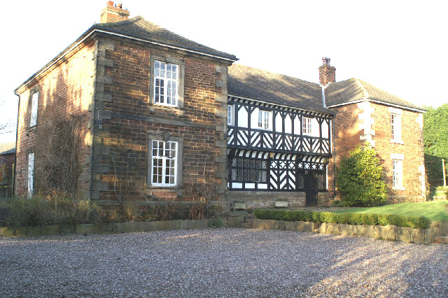
Andertons Mill stands as a testament to the region's industrial heritage. Constructed from red brick, the mill features a tall chimney and large windows that once allowed natural light to illuminate the working areas. The mill's original water wheel, which was powered by the nearby River Douglas, has been replaced with modern machinery over the years.

Throughout its history, Andertons Mill has undergone various transformations. Initially used for cotton spinning and weaving, the mill later transitioned to silk production. In the 20th century, it was converted into a dye works before eventually falling into disuse.

In recent years, efforts have been made to preserve Andertons Mill and restore its former glory. The building has been listed as a Grade II historic structure, recognizing its architectural significance. Today, the mill serves as a reminder of Lancashire's industrial past and attracts visitors interested in learning about the region's textile industry.

Andertons Mill, with its rich history and architectural beauty, stands as a cherished landmark in Lancashire, symbolizing the region's industrial prowess and contributing to its cultural heritage.

If you have any feedback on the listing, please let us know in the comments section below.

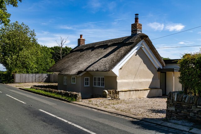
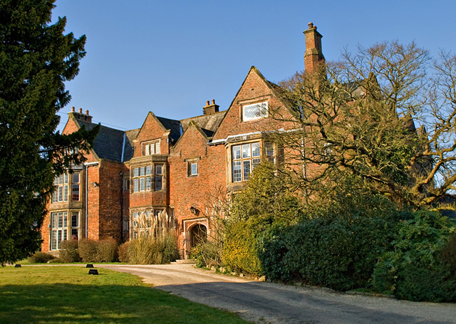
Andertons Mill Images

Images are sourced within 2km of 53.622279/-2.7373653 or Grid Reference SD5114. Thanks to Geograph Open Source API. All images are credited.

Hampson's Cottages Thatched cottage.
Hampson's Cottages
Thatched cottage.
Eccleston Houses on the southern outskirts of Eccelston.
Eccleston
Houses on the southern outskirts of Eccelston.
Toogood Farm
Toogood Farm
Old Milestone by the B5250, Wood Lane, Heskin Green Metal plate attached to stone post by the B5250, in parish of HESKIN (CHORLEY District), Heskin Green, in pavement outside No. 179 Wood Lane, on East side of road. Preston iron plate, erected by the Penwortham & Wrightington turnpike trust in the 19th century. An earlier photograph can be found here <a title="https://www.geograph.org.uk/photo/6037100" href="https://www.geograph.org.uk/photo/6037100">Link</a>.

Inscription reads:-
TO
PRESTON
11
MILES.
Carved benchmark on lower face.

Milestone Society National ID: LA_PSWG11.
Old Milestone by the B5250, Wood Lane, Heskin Green
Metal plate attached to stone post by the B5250, in parish of HESKIN (CHORLEY District), Heskin Green, in pavement outside No. 179 Wood Lane, on East side of road. Preston iron plate, erected by the Penwortham & Wrightington turnpike trust in the 19th century. An earlier photograph can be found here Link. Inscription reads:- TO PRESTON 11 MILES. Carved benchmark on lower face. Milestone Society National ID: LA_PSWG11.
Road junction near Wrightington Bar
Church Lane towards Wrightington Bar
Ancient steps These steps are very prominent beside the road into Mawdesley Village. They lead to the building in the next view.
Ancient steps
These steps are very prominent beside the road into Mawdesley Village. They lead to the building in the next view.
Hidden treasure Discovered by mounting the steps off the road into the village.
Hidden treasure
Discovered by mounting the steps off the road into the village.
Public mourning A few yards on from the steps, an unusual War Memorial is set into the sandstone bank.
Public mourning
A few yards on from the steps, an unusual War Memorial is set into the sandstone bank.
The beautiful Black Bull near Hurst Green
Anvil Studios near Hurst Green
Cedar Farm Craft Centre on Back Lane
Entrance to Cedar Farm Craft Centre
Stocks Hall Nursing Home, Hall Lane, Mawdesley
Junction of Hall Lane and Dark Lane, Mawdesley
Start of footpath between Blue Stone Lane and Salt Pit Lane, Mawdesley
Natural England designated Wildlife Haven, Mawdesley South of the footpath between Blue Stone Lane and Salt Pit Lane
Natural England designated Wildlife Haven, Mawdesley
South of the footpath between Blue Stone Lane and Salt Pit Lane
Footpath between Blue Stone Lane and Salt Pit Lane, Mawdesley
Show me another place!

Andertons Mill is located at Grid Ref: SD5114 (Lat: 53.622279, Lng: -2.7373653)

Administrative County: Lancashire

District: Chorley

Police Authority: Lancashire

What 3 Words

///corded.obtain.cable. Near Eccleston, Lancashire

Related Wikis

Eccleston Quarry

Eccleston Quarry is a mile south of Eccleston, Lancashire. It is also called Eccleston Delph and Eccy Delph (pronounced "ekky"). It is an old stone quarry...

Heskin

Heskin is a small village and civil parish of the Borough of Chorley in Lancashire, England. According to the United Kingdom Census 2001 it has a population...

St James the Great Church, Wrightington

St James the Great Church is in Church Lane, to the west of Wrightington in Lancashire, England. It is an active Anglican parish church in the deanery...

Mawdesley Hall

Mawdesley Hall is a country manor in Hall Lane, Mawdesley, Chorley, Lancashire, England. It consists of a central hall with two cross-wings. The central...

Heskin Hall

Heskin Hall is a manor house in Heskin, Lancashire, England. Construction began on the present hall in 1545 making it a Tudor building which has been designated...

Mawdesley

Mawdesley is a village and civil parish in Lancashire, England, which had a population of 1,702 as per the 2011 Census. == History == The name Mawdesley...

St Peter's Church, Mawdesley

St Peter's Church is in High Street in the village of Mawdesley, Lancashire, England. It is an active Anglican parish church in the deanery of Chorley...

Wrightington Bar

Wrightington Bar is a small linear village in West Lancashire, England. It is on the B5250 Appley Bridge to Eccleston road, and is in the civil parish...

Nearby Amenities

Located within 500m of 53.622279,-2.7373653
Bus Stop
Ridley Lane End
Bus: yes
Naptan AtcoCode: 250012468
Naptan CommonName: Ridley Lane End
Naptan Indicator: by
Naptan NaptanCode: lanajdmg
Naptan Verified: no
Public Transport: platform
Lat/Long: 53.6228082/-2.7406856
Bus Stop
Sandersons Lane
Bus: yes
Naptan AtcoCode: 250011960
Naptan CommonName: Sandersons Lane
Naptan Indicator: by
Naptan NaptanCode: lanagtdt
Naptan Verified: no
Public Transport: platform
Lat/Long: 53.6224408/-2.7390463
Andertons Mill
Place: village
Wikidata: Q4754280
Lat/Long: 53.6212521/-2.7383423
The data included in this document is from www.openstreetmap.org. The data is made available under ODbL.

Have you been to Andertons Mill?

Leave your review of Andertons Mill below (or comments, questions and feedback).