Clarke's Barn Plantation
Wood, Forest in Devon South Hams
England
Clarke's Barn Plantation
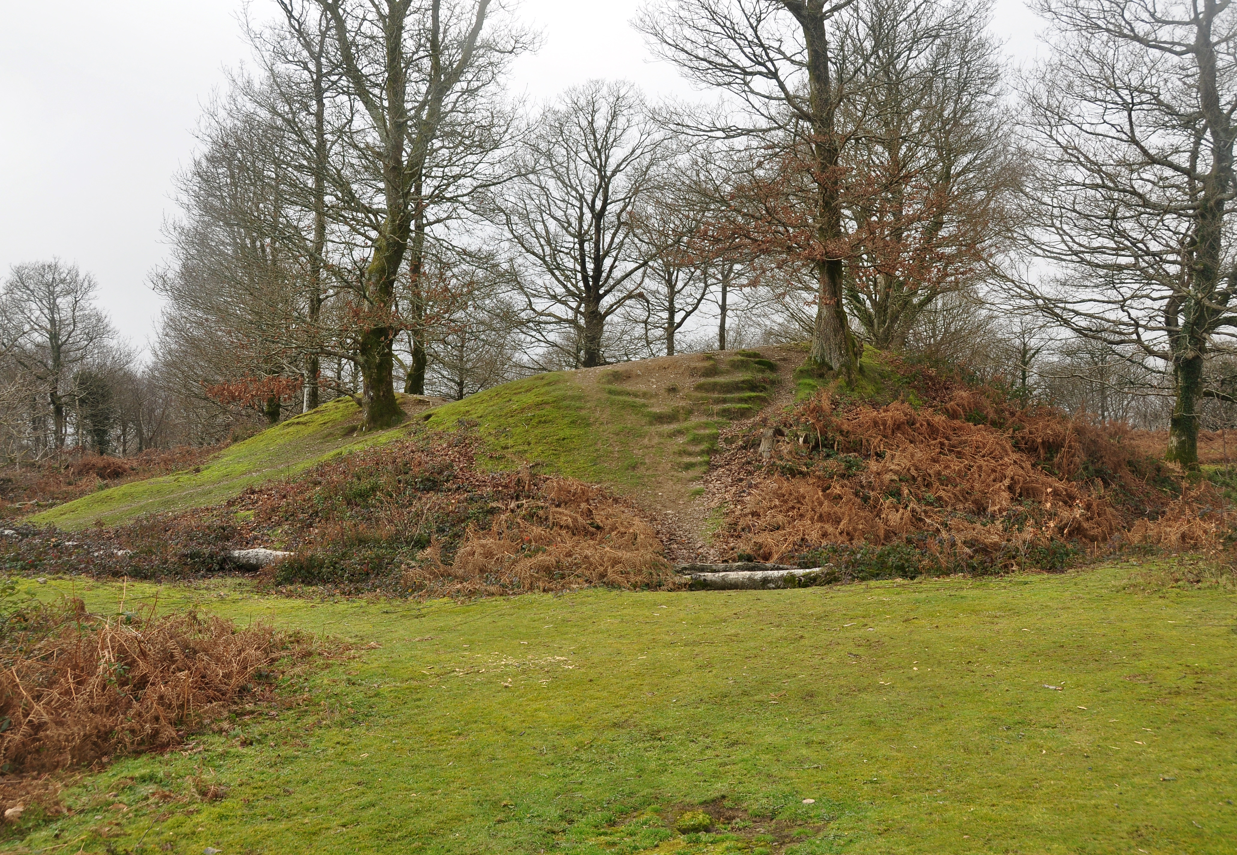
Clarke's Barn Plantation is a picturesque woodland located in Devon, England. Situated in the heart of the beautiful countryside, it covers a vast area of approximately 200 acres. The plantation is renowned for its diverse range of trees, making it a haven for nature enthusiasts and photographers.
The woodland is predominantly made up of deciduous trees, including oak, birch, and beech, which provide a stunning display of vibrant colors during the autumn months. These trees also offer a habitat for various species of birds, making it a popular spot for birdwatchers.
Clarke's Barn Plantation is well-maintained, with clearly marked trails that allow visitors to explore its beauty at their own pace. The trails wind through the woodland, offering glimpses of enchanting wildflowers, moss-covered rocks, and babbling brooks along the way. For those seeking a peaceful retreat, there are secluded picnic areas dotted throughout the plantation, providing a serene atmosphere to relax and enjoy the surroundings.
The plantation also offers educational opportunities, with informative signposts providing details about the flora and fauna found within the woodland. It attracts school groups and nature lovers alike, offering a chance to learn about the importance of preservation and conservation.
Overall, Clarke's Barn Plantation is a true gem in Devon's natural landscape. Its stunning beauty, diverse wildlife, and tranquil atmosphere make it a popular destination for those seeking a peaceful escape from the hustle and bustle of everyday life.
If you have any feedback on the listing, please let us know in the comments section below.
Clarke's Barn Plantation Images
Images are sourced within 2km of 50.497272/-3.8456741 or Grid Reference SX6968. Thanks to Geograph Open Source API. All images are credited.
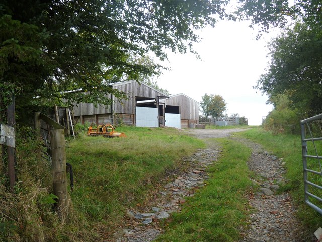
![The way to the moor [1] At the road junction known as Cross Furzes, this 'no through road' leads past Haywood Hall to Lud gate and open moorland.](https://s0.geograph.org.uk/geophotos/05/95/37/5953776_e96f4173.jpg)
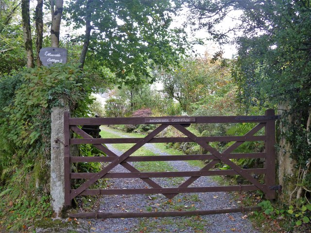
![The way to the moor [2] This 'no through road' leads past Haywood Hall to Lud gate and open moorland.](https://s1.geograph.org.uk/geophotos/05/95/37/5953781_b0adcc24.jpg)
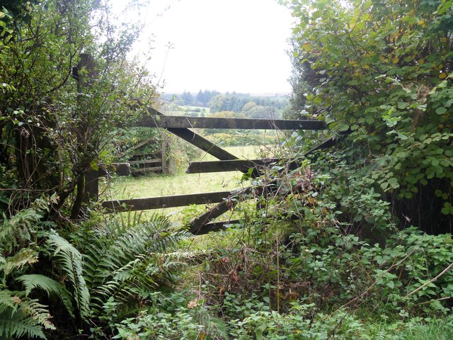
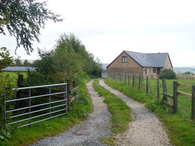
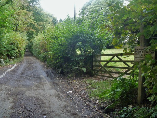
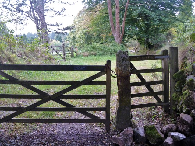
![The way to the moor [3] Now a private road and public bridleway, this 'no through road' leads to Lud gate and open moorland.](https://s3.geograph.org.uk/geophotos/05/95/37/5953791_db47146b.jpg)
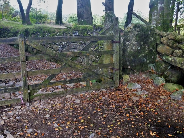
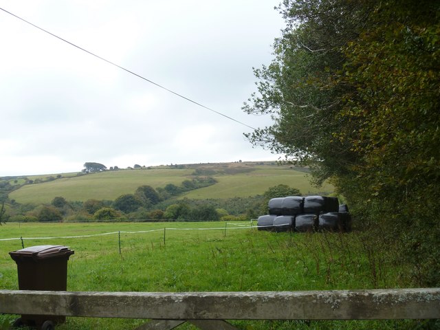
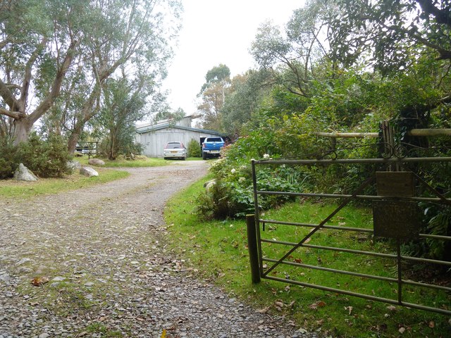
![Buckfastleigh Moor [1] Beyond Lud Gate, Buckfastleigh Moor is open access land and several vague paths and tracks fan out.](https://s3.geograph.org.uk/geophotos/05/95/37/5953799_4a8977a2.jpg)
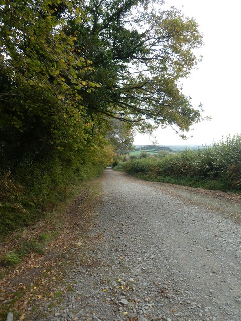
![Buckfastleigh Moor [2] This vague path, one of several, leads across the moor.](https://s0.geograph.org.uk/geophotos/05/95/38/5953800_8501063b.jpg)
![Buckfastleigh Moor [3] The path is somewhat eroded as it ascends on the moor.](https://s2.geograph.org.uk/geophotos/05/95/38/5953802_c5b01486.jpg)
Clarke's Barn Plantation is located at Grid Ref: SX6968 (Lat: 50.497272, Lng: -3.8456741)
Administrative County: Devon
District: South Hams
Police Authority: Devon and Cornwall
What 3 Words
///struggle.quantity.gymnasium. Near Buckfastleigh, Devon
Nearby Locations
Related Wikis

Scorriton
Scorriton is a tiny village in the county of Devon, England, and the main centre of habitation of the parish of West Buckfastleigh. == Description == The...

West Buckfastleigh
West Buckfastleigh is a small civil parish in the South Hams district, on the eastern border of Dartmoor in Devon, England. Situated within the parish...

Holne
Holne is a village and civil parish on the southeastern slopes of Dartmoor in Devon, England. A community has existed here since at least the 11th century...

Combe, Buckfastleigh, Devon
Combe is a small village in the county of Devon, England. It lies on the River Mardle about 2 miles north west of the town of Buckfastleigh. == References ==
Holne Ridge
Holne Ridge, on Dartmoor, includes some of southern Dartmoor's highest land. The ridge to the south west overlooks mires and bogs like Aune Head Mires...

Ryder's Hill
At 515 m, Ryder's Hill is the highest point on the southern part of Dartmoor, Devon, England. On its summit there are two standing stones and a low cairn...
Hembury Castle, Buckfast
Hembury Castle is an Iron Age hillfort about a mile north-west of the village of Buckfast on the south-eastern edge of Dartmoor in Devon, England (grid...

Newbridge, River Dart
Newbridge or New Bridge is a Grade II* listed medieval bridge over the River Dart, Dartmoor, Devon, England. It is on the road between Ashburton and Two...
Nearby Amenities
Located within 500m of 50.497272,-3.8456741Have you been to Clarke's Barn Plantation?
Leave your review of Clarke's Barn Plantation below (or comments, questions and feedback).