South Lydcott Wood
Wood, Forest in Devon North Devon
England
South Lydcott Wood
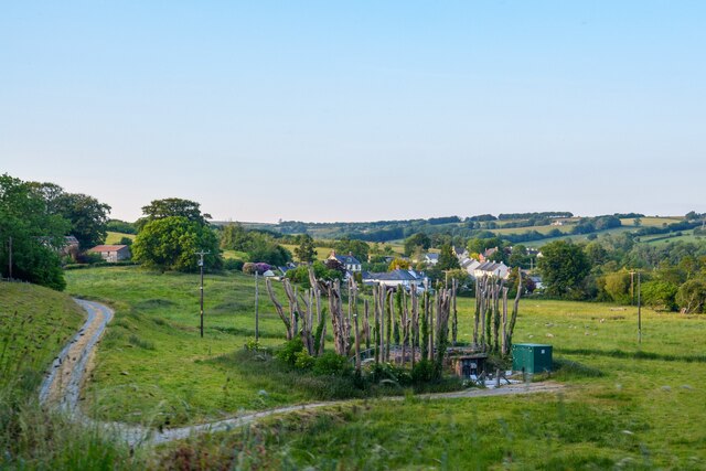
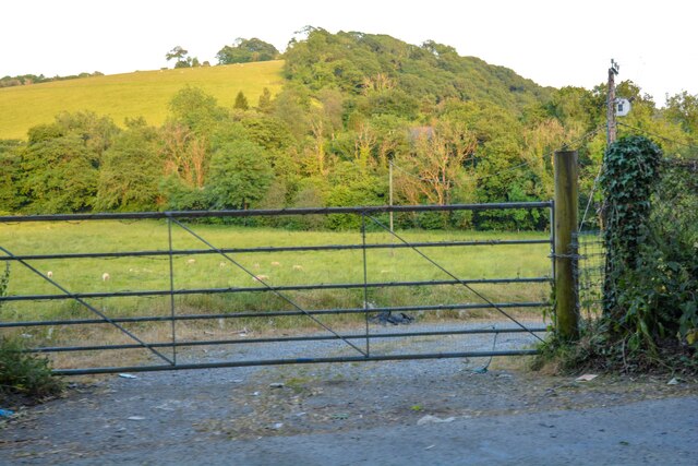
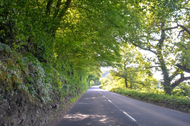
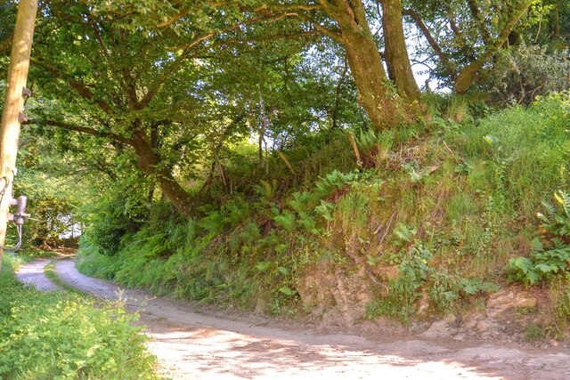
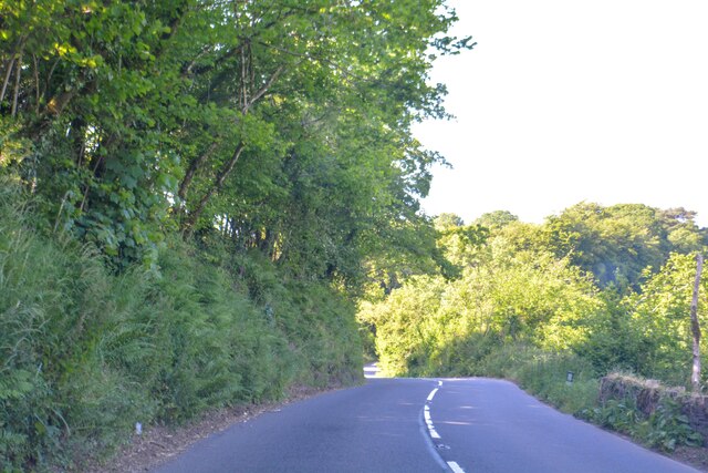
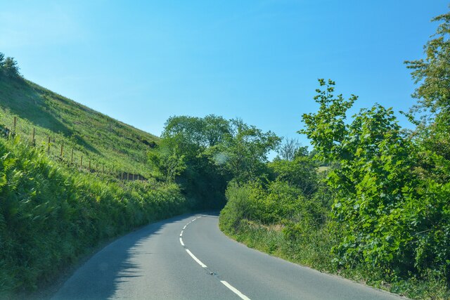
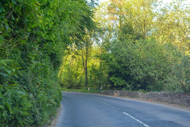
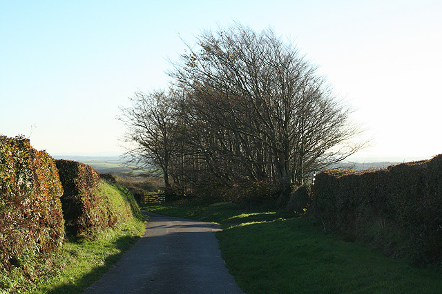
South Lydcott Wood is a picturesque woodland located in Devon, England. Covering an area of approximately 100 acres, it is a prime example of a thriving forest ecosystem. The wood is situated in the heart of the Devon countryside, surrounded by rolling hills and meandering streams.
The wood is predominantly made up of native broadleaf trees such as oak, beech, and ash, which provide a diverse habitat for a wide range of flora and fauna. The dense canopy offers a haven for woodland birds, including woodpeckers, owls, and thrushes, while the forest floor is adorned with a variety of wildflowers and ferns.
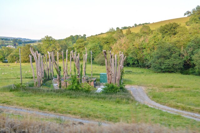
Visitors to South Lydcott Wood can enjoy a network of well-maintained footpaths that wind their way through the forest, allowing for pleasant walks and opportunities to immerse oneself in nature. The peaceful atmosphere, accompanied by the soothing sounds of rustling leaves and birdsong, creates a serene and tranquil environment.
Throughout the seasons, the wood exhibits a stunning array of colors, from the vibrant greens of spring and summer to the rich oranges and browns of autumn. The wood is particularly famous for its bluebell displays in late spring, attracting visitors from far and wide.
South Lydcott Wood is more than just a beautiful natural space; it also serves as an important ecological site, contributing to the local biodiversity. Conservation efforts are in place to protect and preserve the wood, ensuring its continued existence for future generations to enjoy.
If you have any feedback on the listing, please let us know in the comments section below.
South Lydcott Wood Images
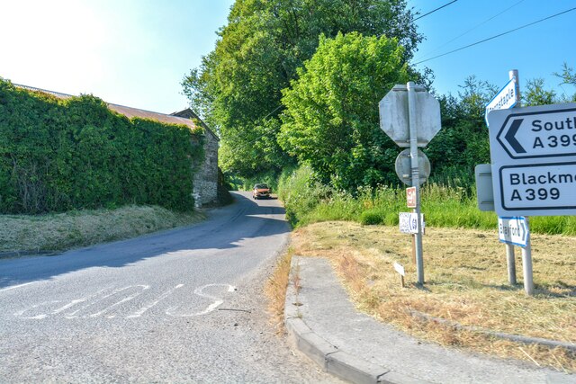
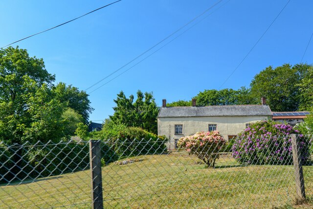
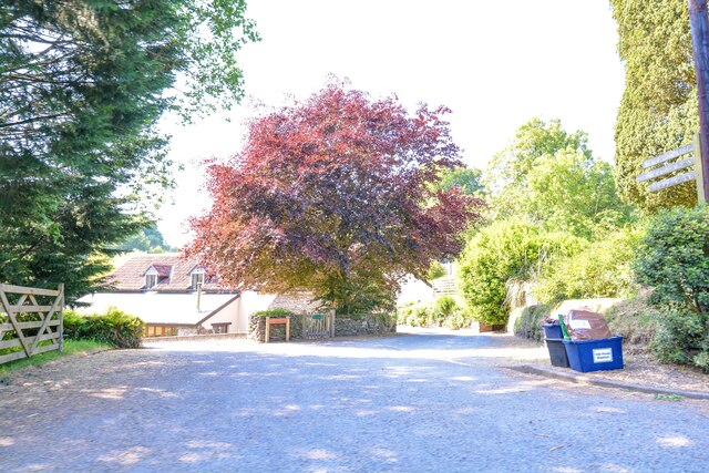
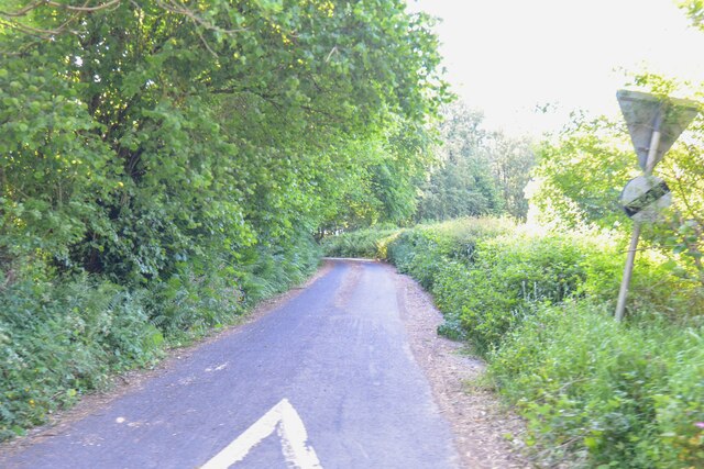
Images are sourced within 2km of 51.106863/-3.8703433 or Grid Reference SS6935. Thanks to Geograph Open Source API. All images are credited.


South Lydcott Wood is located at Grid Ref: SS6935 (Lat: 51.106863, Lng: -3.8703433)
Administrative County: Devon
District: North Devon
Police Authority: Devon and Cornwall
What 3 Words
///droplet.neckline.framework. Near South Molton, Devon
Nearby Locations
Related Wikis
Charles, Devon
Charles is a village and former civil parish, now in the parish of Brayford, in the North Devon district of Devon, England. Its nearest town is South Molton...

High Bray
High Bray is a village, church of England parish and former civil parish, now in the parish of Brayford, in the North Devon district, in the county of...

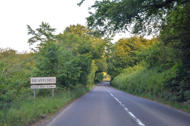
Brayford
Brayford is a village and civil parish in Devon, England, situated about 5 miles (8.0 km) from South Molton and 6 miles (9.7 km) from Barnstaple. It lies...

Mockham Down
Mockham Down is the site of an Iron Age hill fort close to Brayfordhill in Devon, England. It takes the form of a multi-ditch and rampart enclosure close...
Benton, Devon
Benton is a village in Devon, England, within the civil parish of Bratton Fleming.

Shoulsbury castle
Shoulsbury Castle is an Iron Age hill fort close to Challacombe in Devon, England. It takes the form of a multi-ditch and rampart enclosure close to the...
Bentwitchen
Bentwitchen is a hamlet in Devon, England. == References ==

East and West Buckland
East and West Buckland is a civil parish in the English county of Devon. Forming part of the district of North Devon its main settlements are West Buckland...
Nearby Amenities
Located within 500m of 51.106863,-3.8703433Have you been to South Lydcott Wood?
Leave your review of South Lydcott Wood below (or comments, questions and feedback).