Caffyns Heanton Wood

Wood, Forest in Devon North Devon

England

Caffyns Heanton Wood

Shore below Castle Rock
Shore below Castle Rock Credit: David Martin

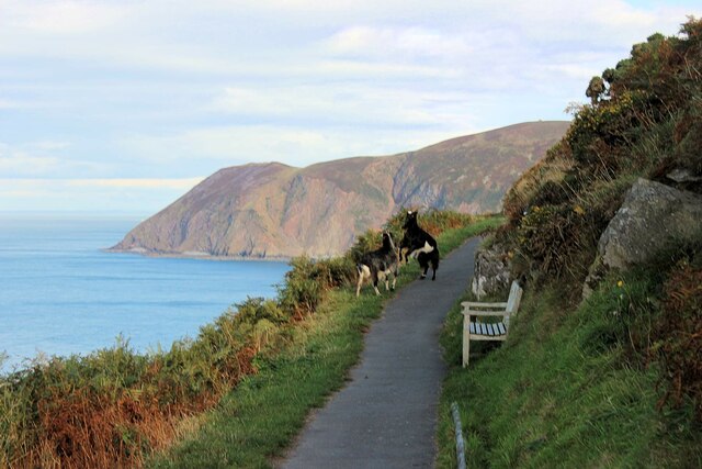
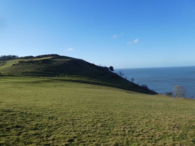
Caffyns Heanton Wood is a beautiful woodland located in North Devon, England. Covering an area of approximately 80 hectares, this ancient forest is home to a diverse range of flora and fauna. The wood is predominantly made up of oak, beech, and ash trees, with pockets of holly, hazel, and wild cherry scattered throughout.

Visitors to Caffyns Heanton Wood can enjoy a leisurely stroll along the well-maintained footpaths that wind their way through the forest. The tranquil atmosphere and lush greenery make it the perfect spot for nature lovers and outdoor enthusiasts.

Wildlife enthusiasts will be delighted by the abundance of bird species that call the wood home, including robins, blackbirds, and woodpeckers. Deer can also be spotted roaming through the trees, adding to the magical charm of the woodland.

Caffyns Heanton Wood is a popular destination for picnics, family outings, and nature walks, offering a peaceful escape from the hustle and bustle of everyday life. Whether you're looking to explore the natural beauty of Devon or simply relax in a tranquil setting, this woodland is sure to impress.

If you have any feedback on the listing, please let us know in the comments section below.

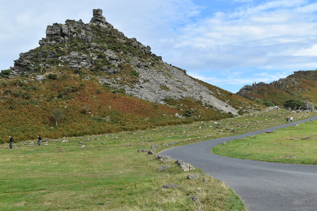
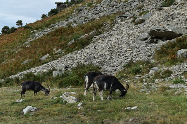
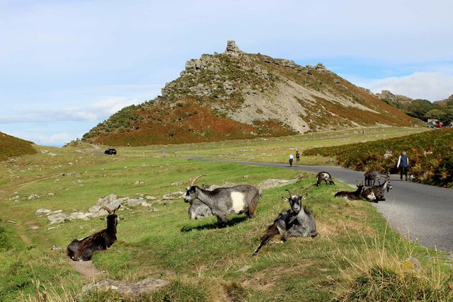
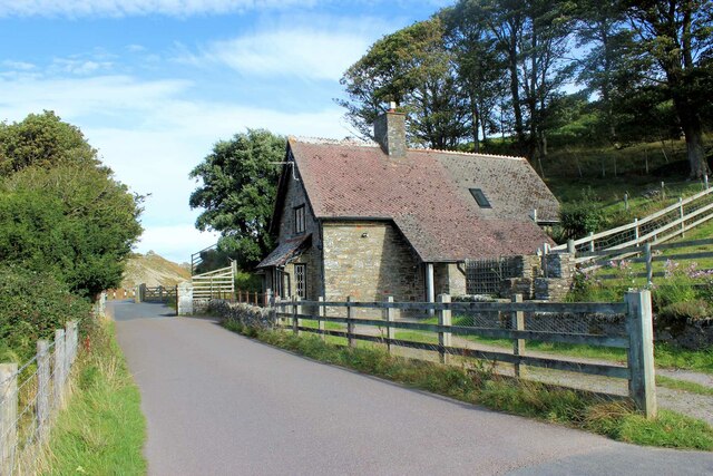
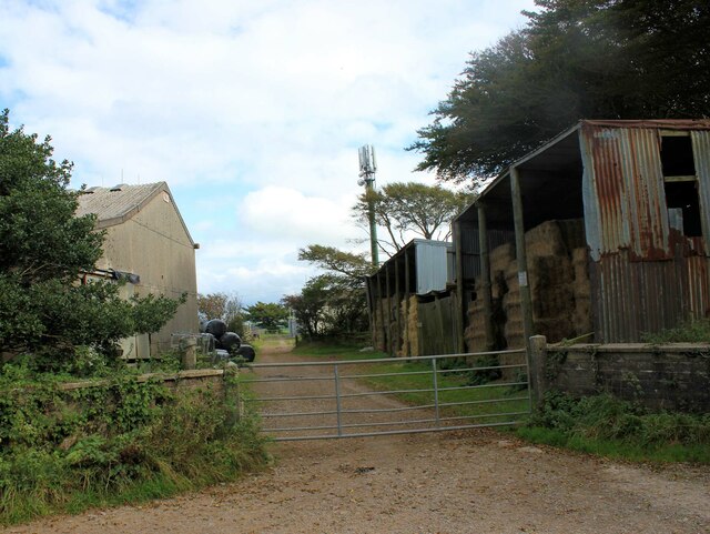
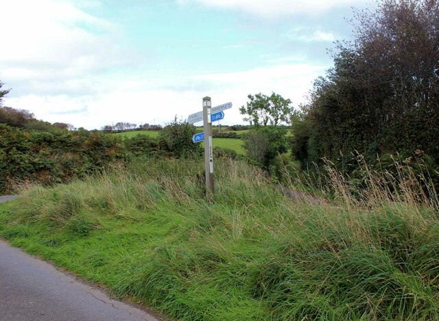
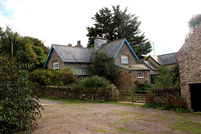
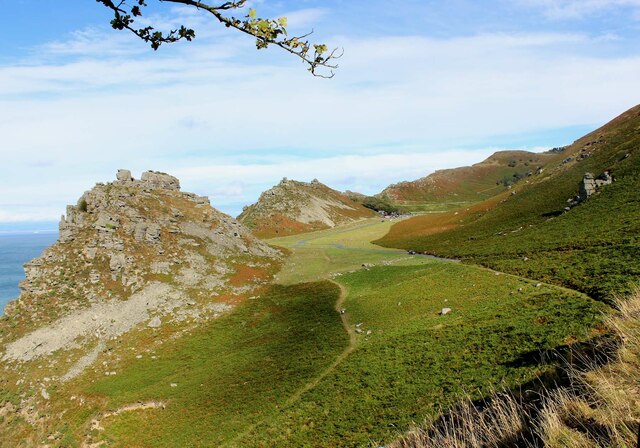
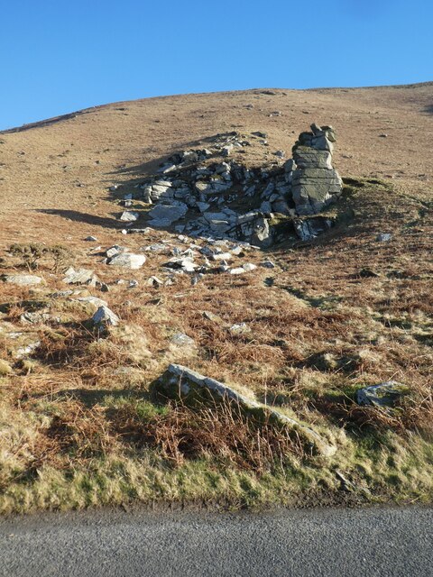
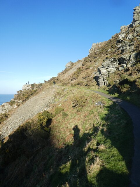
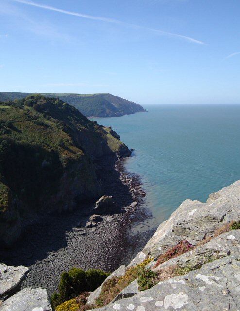
Caffyns Heanton Wood Images

Images are sourced within 2km of 51.222725/-3.8750373 or Grid Reference SS6948. Thanks to Geograph Open Source API. All images are credited.

Shore below Castle Rock
Coast road at Valley of Rocks
Feral goats at Valley of Rocks
Feral goats in the Valley of Rocks There have been goats in the Valley of Rocks for decades (if not longer), however I'm sure there are considerably more than there were a few years ago & they are less timid. Behind them is Castle Rock.
Feral goats in the Valley of Rocks
There have been goats in the Valley of Rocks for decades (if not longer), however I'm sure there are considerably more than there were a few years ago & they are less timid. Behind them is Castle Rock.
Valley Lodge, Lee Abbey Estate The Lodge cottage at the northern entrance to the Lee Abbey estate dates from c1875. It is Grade II listed, see: <span class="nowrap"><a title="https://historicengland.org.uk/listing/the-list/list-entry/1206425" rel="nofollow ugc noopener" href="https://historicengland.org.uk/listing/the-list/list-entry/1206425">Link</a><img style="margin-left:2px;" alt="External link" title="External link - shift click to open in new window" src="https://s1.geograph.org.uk/img/external.png" width="10" height="10"/></span> .
Valley Lodge, Lee Abbey Estate
The Lodge cottage at the northern entrance to the Lee Abbey estate dates from c1875. It is Grade II listed, see: LinkExternal link .
Barns & mobile phone mast, Lydiate Lane
Dean Cross junction Dean Lane descends steeply to the right, Lydiate Lane goes straight on uphill & is shown to be a designated cycle route (13 miles to Barnstaple).
Dean Cross junction
Dean Lane descends steeply to the right, Lydiate Lane goes straight on uphill & is shown to be a designated cycle route (13 miles to Barnstaple).
Sixacre Farm - the farmhouse Sixacre Farm or Six Acre Farm? The OS maps show the former, other sources the latter, but I'll go with the OS!
Sixacre Farm - the farmhouse
Sixacre Farm or Six Acre Farm? The OS maps show the former, other sources the latter, but I'll go with the OS!
The Valley of Rocks from the toll road to Lee Abbey
Sparring goats on coastal path Making my way past these two frisky goats on this clifftop path was a bit scary but they obligingly paused their sparring and let me past. In the distance is Foreland Point.
Sparring goats on coastal path
Making my way past these two frisky goats on this clifftop path was a bit scary but they obligingly paused their sparring and let me past. In the distance is Foreland Point.
Feral goats on cliffside above Wringcliff Bay The clifftop South West Coast Path is glimpsed top-left. In the distance the furthest headland is Highveer Point, hidden behind which is Heddon's Mouth.
Feral goats on cliffside above Wringcliff Bay
The clifftop South West Coast Path is glimpsed top-left. In the distance the furthest headland is Highveer Point, hidden behind which is Heddon's Mouth.
Coast west of Wringcliff Bay
Lodge of Lee Abbey estate
Castle Rock in Valley of Rocks, near Lynton
The Devil's Cheesewring, Valley of Rocks
Castle Rock from south-east, Valley of Rocks
Road through Valley of Rocks, near Lynton
South West Coast Path by Rugged Jack, Valley of Rocks The South West Coast Path National Trail - 630 miles of superb coastal walking. From Minehead on the edge of the Exmoor National Park to the shores of Poole Harbour in Dorset. It is the longest of all Britain's National Trails.
Website: <span class="nowrap"><a title="http://www.southwestcoastpath.com/" rel="nofollow ugc noopener" href="http://www.southwestcoastpath.com/">Link</a><img style="margin-left:2px;" alt="External link" title="External link - shift click to open in new window" src="https://s1.geograph.org.uk/img/external.png" width="10" height="10"/></span>
South West Coast Path by Rugged Jack, Valley of Rocks
The South West Coast Path National Trail - 630 miles of superb coastal walking. From Minehead on the edge of the Exmoor National Park to the shores of Poole Harbour in Dorset. It is the longest of all Britain's National Trails. Website: LinkExternal link
Show me another place!

Caffyns Heanton Wood is located at Grid Ref: SS6948 (Lat: 51.222725, Lng: -3.8750373)

Administrative County: Devon

District: North Devon

Police Authority: Devon and Cornwall

What 3 Words

///insolvent.league.trailing. Near Lynton, Devon

Related Wikis

Lee Abbey

Lee Abbey, founded in 1946, is an ecumenical Christian community between Woody Bay and Lynmouth in Devon, England. It is a Grade II listed building. The...

Woody Bay, Devon

Woody Bay is a bay on the North Devon coast of England, 3 miles (4.8 km) west of Lynton and 8 miles (13 km) east of Combe Martin with a stony beach. It...

Wringcliff Bay

Wringcliff Bay, also known as Wring Cliff Cove, is a bay on the Bristol Channel of northern Devon, England. It lies to the northwest of the village of...

Caffyns Halt railway station

Caffyns Halt was a halt on the Lynton and Barnstaple Railway, a narrow gauge line that ran through Exmoor, England, from Barnstaple to Lynton and Lynmouth...

Nearby Amenities

Located within 500m of 51.222725,-3.8750373
Cafe
Lee Abbey Tea Cottage
Opening Hours: We-Sa 10:30-17:00
Url: https://leeabbeydevon.org.uk/visit/tea-cottage/
Lat/Long: 51.2256432/-3.8709705
Barrier: stile
Lat/Long: 51.2270556/-3.876252
Bench
Backrest: yes
Colour: brown
Material: wood
Seats: 4
Lat/Long: 51.2246521/-3.8690926
Direction: E
Tourism: viewpoint
Lat/Long: 51.2246608/-3.8691078
Hiking: yes
Information: guidepost
Tourism: information
Lat/Long: 51.2246907/-3.8689854
The data included in this document is from www.openstreetmap.org. The data is made available under ODbL.

Have you been to Caffyns Heanton Wood?

Leave your review of Caffyns Heanton Wood below (or comments, questions and feedback).