Gibby Combe Wood
Wood, Forest in Devon South Hams
England
Gibby Combe Wood
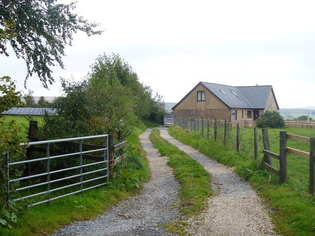
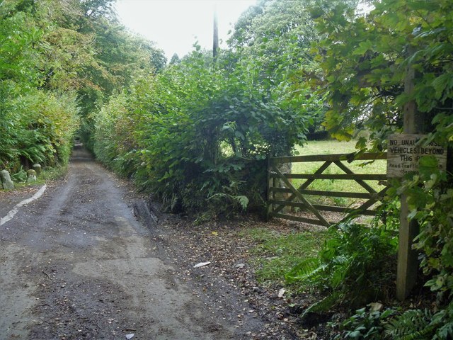
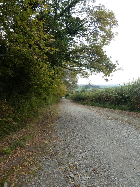
![The way to the moor [2] This 'no through road' leads past Haywood Hall to Lud gate and open moorland.](https://s1.geograph.org.uk/geophotos/05/95/37/5953781_b0adcc24.jpg)
Gibby Combe Wood is a picturesque woodland located in the county of Devon, England. Covering an area of approximately 50 acres, this ancient forest is known for its diverse range of tree species, including oak, beech, and chestnut trees. The woodland is also home to a variety of wildlife, such as deer, squirrels, and a wide array of bird species.
Visitors to Gibby Combe Wood can enjoy peaceful walks along the well-maintained trails that wind through the forest, providing opportunities to observe the natural beauty of the area. The wood is particularly popular in the spring when the forest floor is carpeted with bluebells and other wildflowers.
In addition to its natural beauty, Gibby Combe Wood also has historical significance, with evidence of ancient settlements and agricultural activity dating back centuries. The woodland is managed by a local conservation group, ensuring that it remains a thriving ecosystem for both plants and animals.
Overall, Gibby Combe Wood offers visitors a tranquil escape into nature, where they can immerse themselves in the sights and sounds of a traditional English woodland.
If you have any feedback on the listing, please let us know in the comments section below.
Gibby Combe Wood Images
Images are sourced within 2km of 50.503782/-3.8475074 or Grid Reference SX6968. Thanks to Geograph Open Source API. All images are credited.
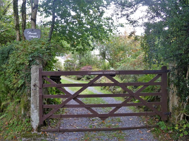
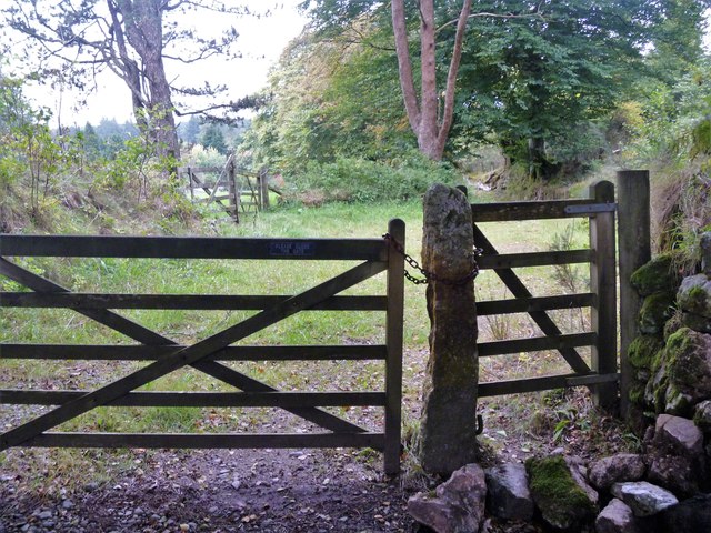
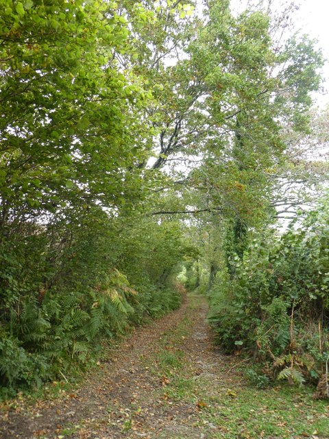
![The way to the moor [3] Now a private road and public bridleway, this 'no through road' leads to Lud gate and open moorland.](https://s3.geograph.org.uk/geophotos/05/95/37/5953791_db47146b.jpg)
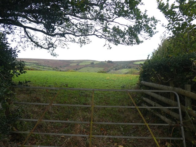
![Buckfastleigh Moor [1] Beyond Lud Gate, Buckfastleigh Moor is open access land and several vague paths and tracks fan out.](https://s3.geograph.org.uk/geophotos/05/95/37/5953799_4a8977a2.jpg)
![Buckfastleigh Moor [2] This vague path, one of several, leads across the moor.](https://s0.geograph.org.uk/geophotos/05/95/38/5953800_8501063b.jpg)
![Buckfastleigh Moor [3] The path is somewhat eroded as it ascends on the moor.](https://s2.geograph.org.uk/geophotos/05/95/38/5953802_c5b01486.jpg)

Gibby Combe Wood is located at Grid Ref: SX6968 (Lat: 50.503782, Lng: -3.8475074)
Administrative County: Devon
District: South Hams
Police Authority: Devon and Cornwall
What 3 Words
///joked.stress.apron. Near Buckfastleigh, Devon
Nearby Locations
Related Wikis

Scorriton
Scorriton is a tiny village in the county of Devon, England, and the main centre of habitation of the parish of West Buckfastleigh. == Description == The...

Holne
Holne is a village and civil parish on the southeastern slopes of Dartmoor in Devon, England. A community has existed here since at least the 11th century...

West Buckfastleigh
West Buckfastleigh is a small civil parish in the South Hams district, on the eastern border of Dartmoor in Devon, England. Situated within the parish...

Combe, Buckfastleigh, Devon
Combe is a small village in the county of Devon, England. It lies on the River Mardle about 2 miles north west of the town of Buckfastleigh. == References ==
Nearby Amenities
Located within 500m of 50.503782,-3.8475074Have you been to Gibby Combe Wood?
Leave your review of Gibby Combe Wood below (or comments, questions and feedback).