Chiswick
Settlement in Middlesex
England
Chiswick

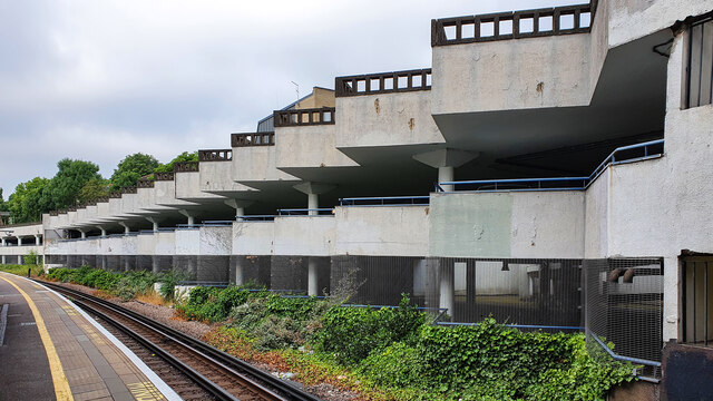
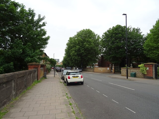
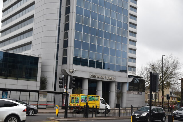
Chiswick is a suburban area located in the London Borough of Hounslow, Middlesex, England. Situated approximately 6 miles west of Charing Cross, Chiswick is known for its charming residential streets, beautiful green spaces, and historic landmarks.
With a rich history dating back to the 1st century AD, Chiswick has evolved from a rural village to a thriving urban suburb. The area boasts a mix of architectural styles, including Georgian and Victorian houses, as well as modern developments. The picturesque Chiswick House and Gardens, an 18th-century Palladian villa set within stunning landscapes, is one of the area's most prominent attractions.
Chiswick High Road, the main thoroughfare, offers a vibrant mix of high street shops, independent boutiques, and a wide range of restaurants, cafes, and pubs. Additionally, the area is home to a bustling farmers' market, providing residents with fresh produce and artisanal goods.
Chiswick benefits from excellent transportation links, with several tube stations and bus routes serving the area, making it easy to access central London and other parts of the city. The nearby A4 road provides convenient access to Heathrow Airport and the M4 motorway.
Nature enthusiasts can enjoy the scenic beauty of Chiswick's riverside location, with the River Thames flowing through the area. The riverbank offers pleasant walks, boat rides, and opportunities for water sports.
Chiswick is also home to a number of reputable schools, parks, and recreational facilities, making it an ideal location for families and professionals seeking a mix of urban convenience and suburban tranquility.
If you have any feedback on the listing, please let us know in the comments section below.
Chiswick Images
Images are sourced within 2km of 51.492324/-0.249818 or Grid Reference TQ2178. Thanks to Geograph Open Source API. All images are credited.


Chiswick is located at Grid Ref: TQ2178 (Lat: 51.492324, Lng: -0.249818)
Unitary Authority: Hounslow
Police Authority: Metropolitan
What 3 Words
///fumes.latest.serve. Near Hammersmith, London
Nearby Locations
Related Wikis
Metropolis Group
Metropolis Studios is a music production and entertainment industry company established in 1989 by Gary Langan, Carey Taylor and Karin Clayton. It is located...
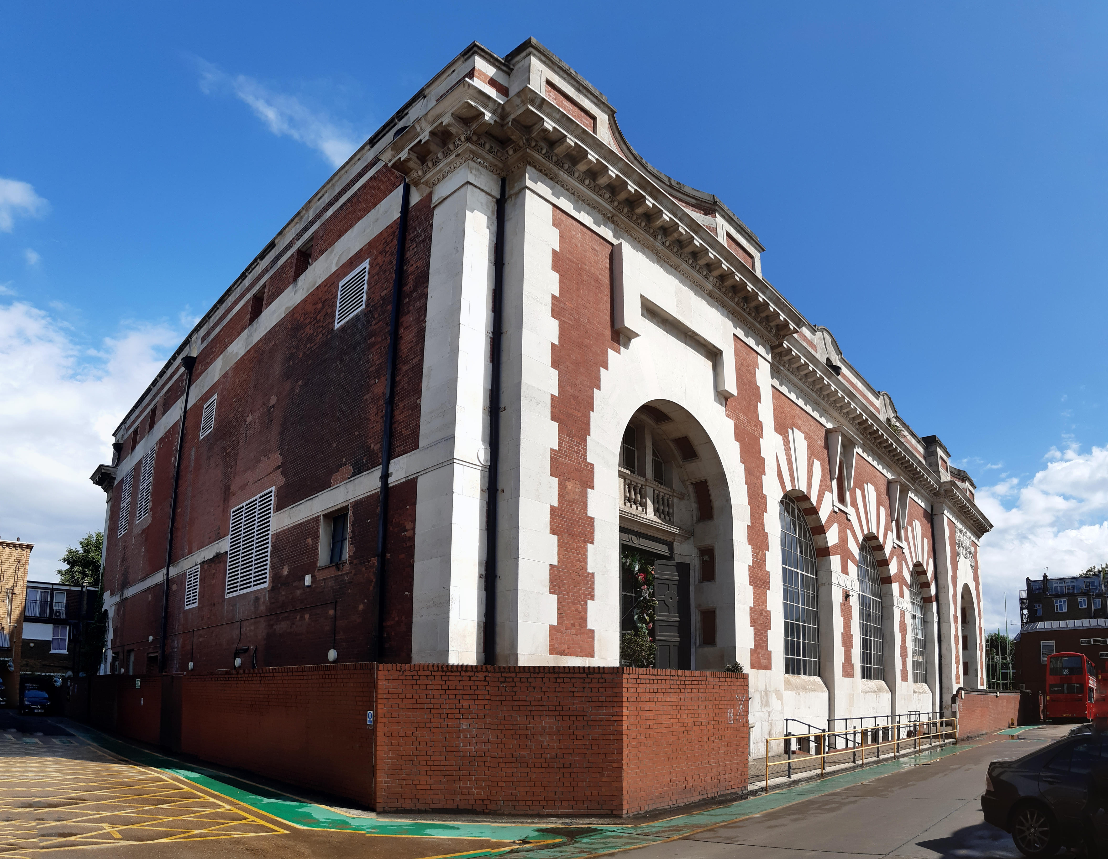
Power House, Chiswick
The Power House, Chiswick is a former electricity generating station on Chiswick High Road and a Grade II listed building, completed in 1901. It provided...
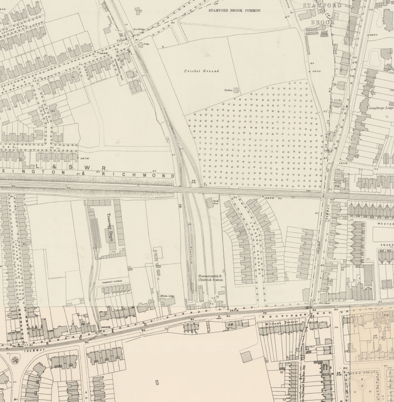
Hammersmith & Chiswick railway station
Hammersmith & Chiswick was a railway terminus in west London that was opened in 1858 by the North & South Western Junction Railway and closed in 1917,...

British Grove Studios
British Grove Studios is a recording studio located at 20 British Grove in Chiswick, West London, and owned by musician Mark Knopfler. British Grove Studios...

22 St Peter's Square
22 St Peter's Square, in Hammersmith, London, is a grade II listed building with a former laundry that has been converted to an architects' studio and...
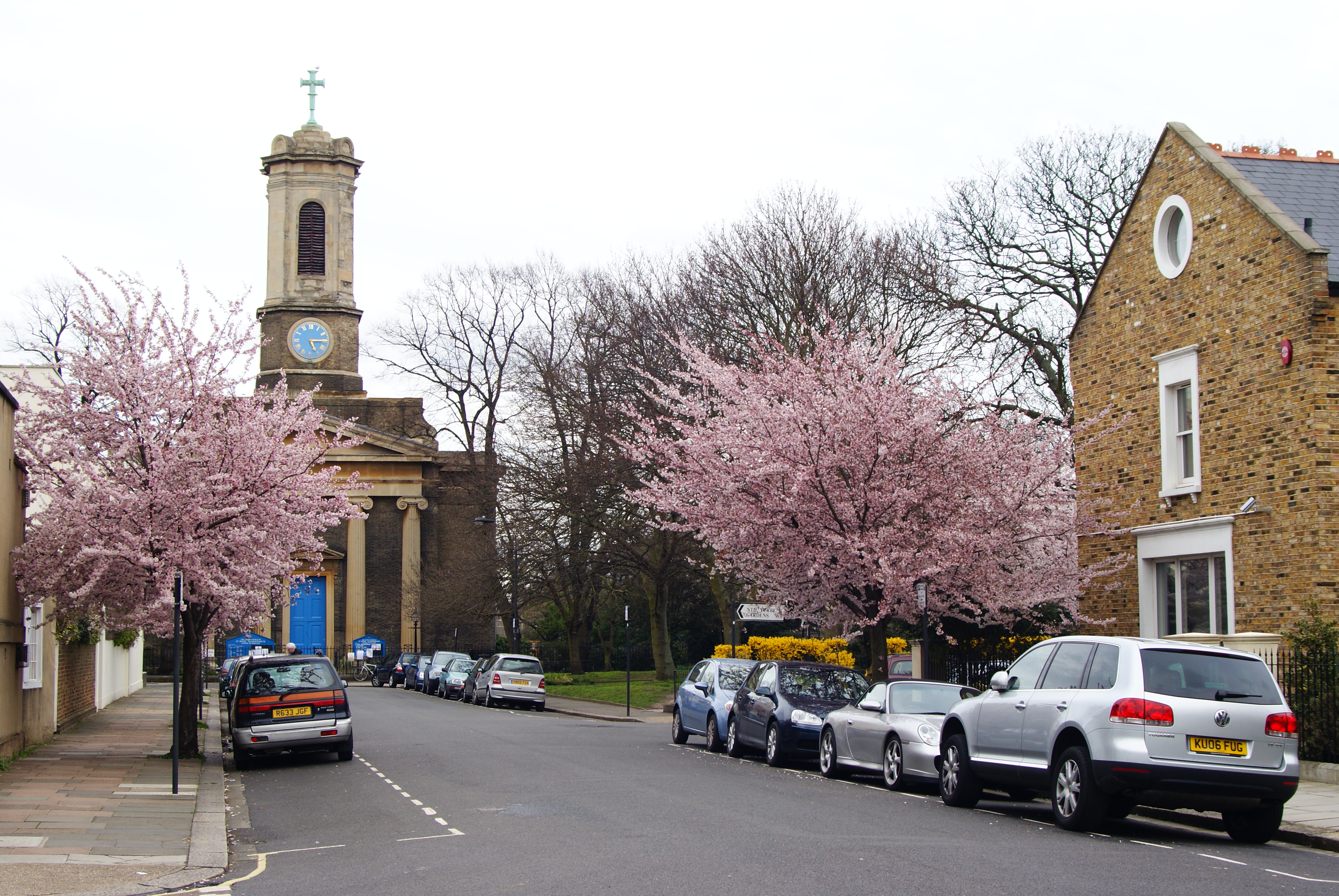
St Peter's Square, London
St Peter's Square, in Hammersmith, London, England, is a garden square laid out in the 1820s, just north of the River Thames between the Great West Road...

Stamford Brook tube station
Stamford Brook is a London Underground station on the eastern edge of Chiswick in west London. The station is served by the District line and is between...
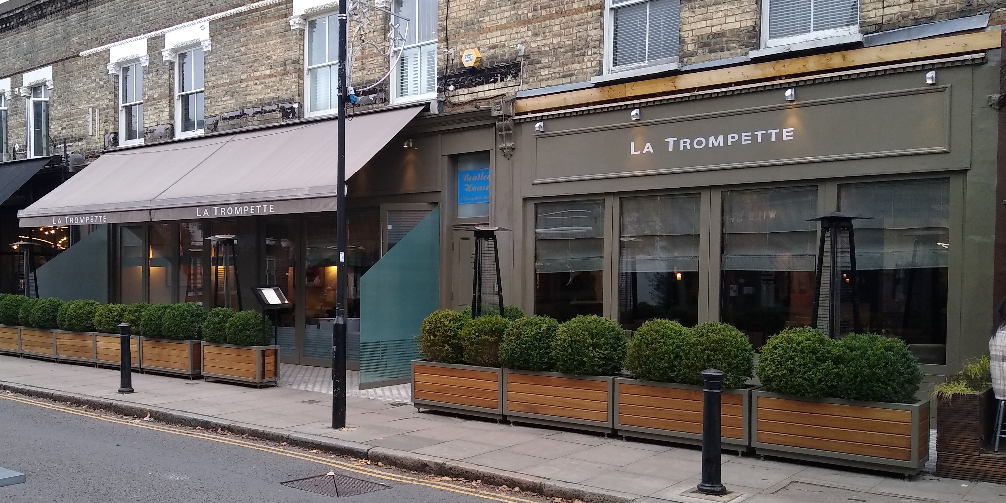
La Trompette (restaurant)
La Trompette is a restaurant located in Chiswick, London, opened by co-owners Nigel Platts-Martin and Chez Bruce's chef patron Bruce Poole. Since 2008...
Nearby Amenities
Located within 500m of 51.492324,-0.249818Have you been to Chiswick?
Leave your review of Chiswick below (or comments, questions and feedback).