Chiswell Green

Settlement in Hertfordshire St. Albans

England

Chiswell Green

Pylon and copse Looking North from TL117043, we see the power lines jump over a little copse. That's pretty much the most significant landmark in the grid square.
Pylon and copse Credit: Rob Hinkley

Chiswell Green is a small village located in the county of Hertfordshire, England. Situated approximately 3 miles southwest of St Albans, it is a peaceful and picturesque area that offers a blend of rural charm and convenient access to nearby amenities.

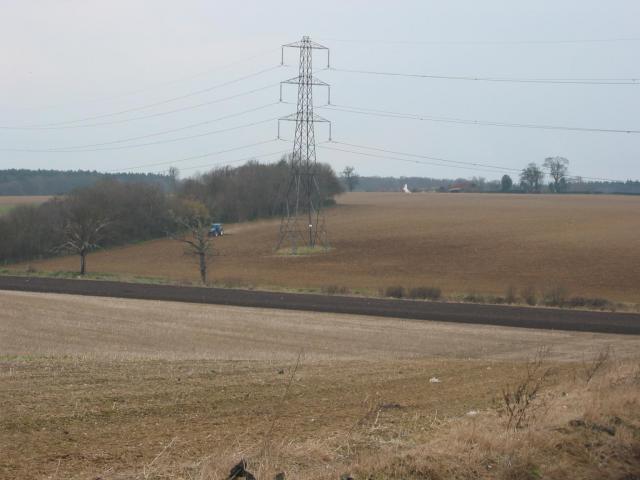
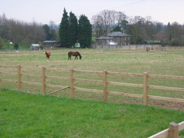
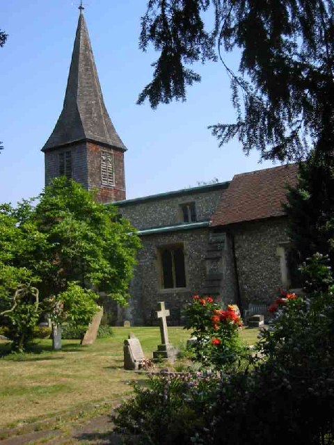
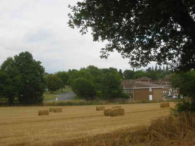
The village is known for its attractive countryside, with rolling hills and green landscapes surrounding the area. It is dotted with traditional English cottages and larger, more modern houses, creating a diverse mix of architectural styles. Chiswell Green is a popular choice for those seeking a tranquil and idyllic retreat away from the hustle and bustle of city life.

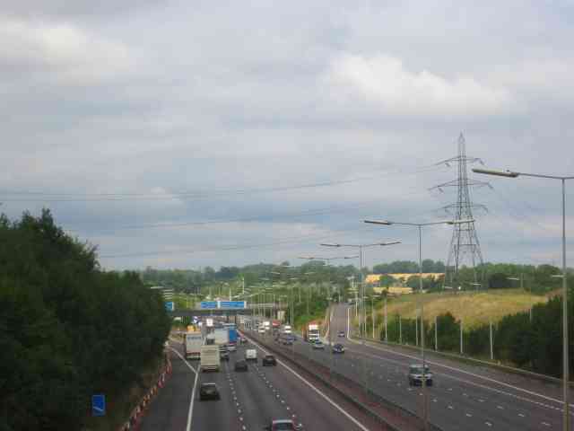
Despite its rural setting, the village benefits from excellent transportation links. The nearby M1 motorway provides easy access to London and other major cities in the region. Additionally, St Albans City Station, just a short drive away, offers frequent train services to London and other destinations.

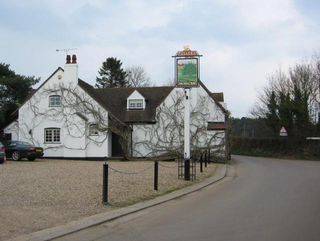
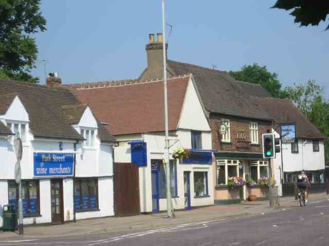
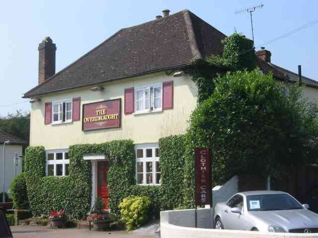
Chiswell Green is well-equipped with various amenities to cater to the needs of its residents. The village has a local convenience store and a few small businesses, including a post office and a pub. For a wider range of shopping, dining, and entertainment options, the nearby city of St Albans offers a vibrant and bustling town center.

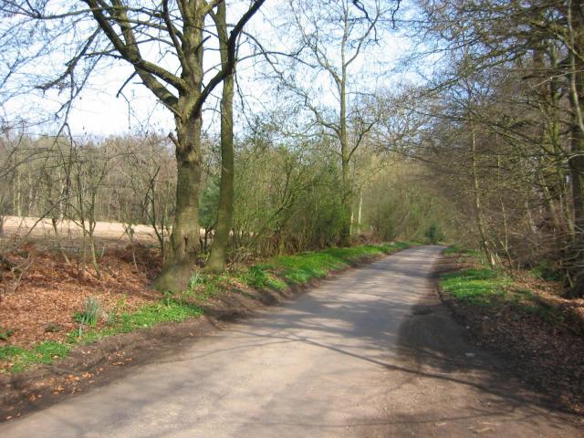
Nature enthusiasts will be pleased to discover the village's close proximity to several parks and green spaces. Heartwood Forest, a short distance away, is a popular destination for walking, cycling, and picnicking.

Overall, Chiswell Green is a charming and well-connected village, providing a peaceful and picturesque setting for its residents while offering easy access to nearby urban amenities and natural beauty.

If you have any feedback on the listing, please let us know in the comments section below.

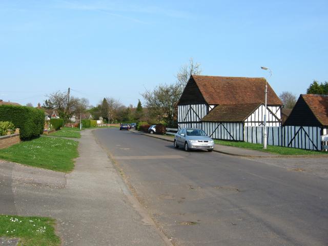
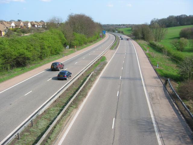
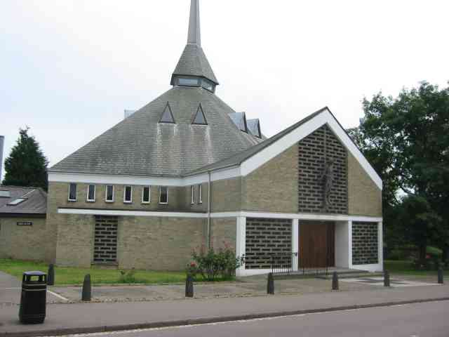
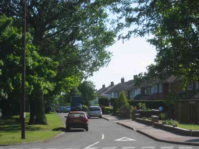
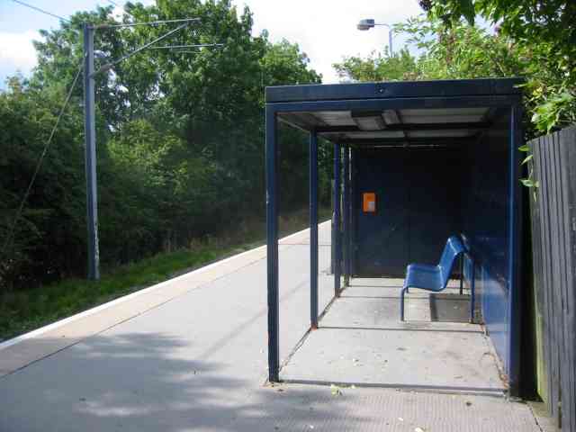
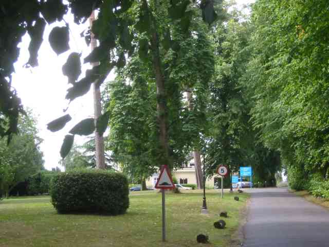
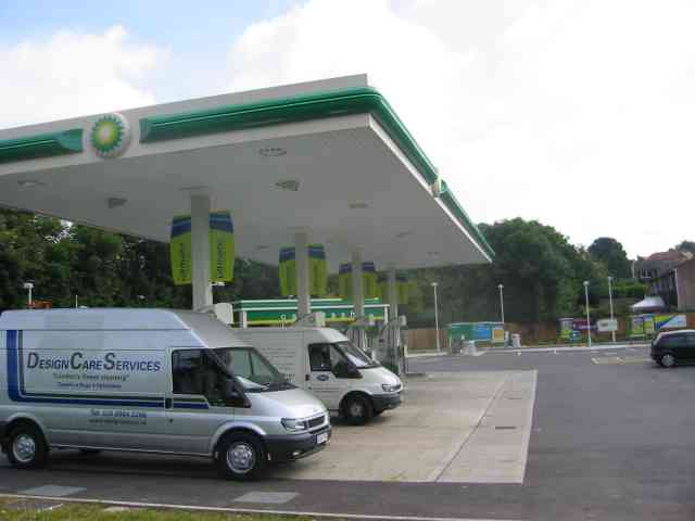
Chiswell Green Images

Images are sourced within 2km of 51.72846/-0.35952637 or Grid Reference TL1304. Thanks to Geograph Open Source API. All images are credited.

Pylon and copse Looking North from TL117043, we see the power lines jump over a little copse. That's pretty much the most significant landmark in the grid square.
Pylon and copse
Looking North from TL117043, we see the power lines jump over a little copse. That's pretty much the most significant landmark in the grid square.
The 'Holly Bush' at Potters Crouch The 'Holly Bush' pub at Potters Crouch: a village of about 4 houses.
And yes, Potters Crouch is its real name - I'm not making it up.
The 'Holly Bush' at Potters Crouch
The 'Holly Bush' pub at Potters Crouch: a village of about 4 houses. And yes, Potters Crouch is its real name - I'm not making it up.
Daneswick farm buildings Looking SE from TL122046
Daneswick farm buildings
Looking SE from TL122046
Road from Potters Crouch to Chiswell Green Looking East from TL123052 with copse on the right, open field and then woods on the left.
Road from Potters Crouch to Chiswell Green
Looking East from TL123052 with copse on the right, open field and then woods on the left.
Gateway to suburbia On the Western edge of Chiswell Green, having just left the farmland behind, looking East from TL131045.
Gateway to suburbia
On the Western edge of Chiswell Green, having just left the farmland behind, looking East from TL131045.
M10, from bridge. Looking East from the bridge over the M10 at TL137055.
M10, from bridge.
Looking East from the bridge over the M10 at TL137055.
St Alban's R.C. Church at St Julians This church is almost at the southern edge of St Albans.
St Alban's R.C. Church at St Julians
This church is almost at the southern edge of St Albans.
A road in Chiswell Green The forest trees at least show that it has some attraction
A road in Chiswell Green
The forest trees at least show that it has some attraction
The Falcon Pub in Park Street, Herts This pub is at the centre of the village
The Falcon Pub in Park Street, Herts
This pub is at the centre of the village
The Overdraught Pub,  Park Street, Herts Is that a pun or is that a howler?
The Overdraught Pub, Park Street, Herts
Is that a pun or is that a howler?
St Stephen's Church  St Albans This church has sufficient land for car parking which is a boon as the road outside is always busy.
St Stephen's Church St Albans
This church has sufficient land for car parking which is a boon as the road outside is always busy.
The edge of the town This view from Bedmond Lane shows the abrupt demarcation between housing estate and farmland.
The edge of the town
This view from Bedmond Lane shows the abrupt demarcation between housing estate and farmland.
Shelter at How Wood Station The station has no ticket machine as the fares are collected by a travelling conductor on the "flyer"
No signals are needed as there is only one train
plying to and fro.
Shelter at How Wood Station
The station has no ticket machine as the fares are collected by a travelling conductor on the "flyer" No signals are needed as there is only one train plying to and fro.
Entrance to Tenterden House off Lye Lane This is a nursing home but I wonder how the patients cope with the continuous roar of traffic from the M25
Entrance to Tenterden House off Lye Lane
This is a nursing home but I wonder how the patients cope with the continuous roar of traffic from the M25
The M25 taken from Lye Lane bridge  Smug Oak The Tenterden nursing home is just over on the right of the picture. The brown grass area was to have been a golf course but things went wrong.
The M25 taken from Lye Lane bridge Smug Oak
The Tenterden nursing home is just over on the right of the picture. The brown grass area was to have been a golf course but things went wrong.
Petrol filling station Park Street This station is visible from the North Orbital Rd
which carries heavy traffic
Petrol filling station Park Street
This station is visible from the North Orbital Rd which carries heavy traffic
Park Street Railway Station. The station is open as this is located on the Flyer
run between St Albans and Watford. So the tickets are issued by a conductor on board
Park Street Railway Station.
The station is open as this is located on the Flyer run between St Albans and Watford. So the tickets are issued by a conductor on board
Parked lorry in Noke Lane. The lorry is unregistered so can be deemed to be
fly tipped rubbish.There is also a semi trailer wedged against it {see left top corner}
Parked lorry in Noke Lane.
The lorry is unregistered so can be deemed to be fly tipped rubbish.There is also a semi trailer wedged against it {see left top corner}
Show me another place!

Chiswell Green is located at Grid Ref: TL1304 (Lat: 51.72846, Lng: -0.35952637)

Administrative County: Hertfordshire

District: St. Albans

Police Authority: Hertfordshire

What 3 Words

///minds.flash.lots. Near St Albans, Hertfordshire

Nearby Locations

Chiswell Green

Related Wikis

Chiswell Green

Chiswell Green is a village, on the southern outskirts of St Albans, in the parish of St Stephen and district of the City of St Albans in Hertfordshire...

Butterfly World, Hertfordshire

The Butterfly World Project was a visitor attraction in the village of Chiswell Green, on the outskirts of St Albans in Hertfordshire, UK, dedicated to...

St Stephen, Hertfordshire

St Stephen is a civil parish in the St Albans City and District in Hertfordshire, England. It is located approximately 17 miles (27 km) north-northwest...

Royal National Rose Society Gardens

The Royal National Rose Society Gardens, also known as The Gardens of The Rose, were the gardens and headquarters of The Royal National Rose Society at...

Nearby Amenities

Located within 500m of 51.72846,-0.35952637
Mini Roundabout
Direction: clockwise
Lat/Long: 51.7284452/-0.3595396
Turning Circle
Lat/Long: 51.7290869/-0.3642482
Pub
The Three Hammers
Addr City: St Albans
Addr Housenumber: 210
Addr Postcode: AL2 3EA
Addr Street: Watford Road
Addr Village: Chiswell Green
Brand: Ember Inns
Brand Wikidata: Q116272278
Contact Website: https://www.emberinns.co.uk/nationalsearch/eastofengland/the-three-hammers-st-albans
Fhrs Id: 306050
Operator: Ember Inns
Toilets: yes
Toilets Access: customers
Wikidata: Q26396948
Lat/Long: 51.728291/-0.36
Mini Roundabout
Direction: clockwise
Lat/Long: 51.7288144/-0.3592921
Chiswell Green
Is In: Hertfordshire
Place: village
Wikidata: Q5102161
Wikipedia: en:Chiswell Green
Lat/Long: 51.7286134/-0.3592793
Turning Loop
Lat/Long: 51.7293592/-0.3559662
Bus Stop
West Avenue
Naptan AtcoCode: 210021503540
Naptan Bearing: SW
Naptan CommonName: West Avenue
Naptan Crossing: United Reformed Church
Naptan Indicator: nr
Naptan Landmark: United Reformed Church
Naptan NaptanCode: hrtawpwj
Naptan PlusbusZoneRef: STALBCY
Naptan ShortCommonName: NA
Naptan Street: Watford Road
Naptan Verified: no
Public Transport: platform
Source: naptan_import
Lat/Long: 51.7312512/-0.357544
Bus Stop
Three Hammers PH
Bench: yes
Bin: yes
Lit: no
Naptan AtcoCode: 210021503560
Naptan Bearing: S
Naptan CommonName: Three Hammers PH
Naptan Crossing: Tippendale Lane
Naptan Indicator: opp
Naptan Landmark: Tippendale Lane
Naptan NaptanCode: hrtawpjt
Naptan PlusbusZoneRef: STALBCY
Naptan ShortCommonName: NA
Naptan Street: Watford Road
Naptan Verified: no
Public Transport: platform
Shelter: no
Source: naptan_import
Tactile Paving: no
Lat/Long: 51.7277378/-0.3595995
Bus Stop
Driftwood Avenue
Bus: yes
Naptan AtcoCode: 210021503580
Naptan Bearing: SW
Naptan CommonName: Driftwood Avenue
Naptan Crossing: Farringford Close
Naptan Indicator: adj
Naptan Landmark: Farringford Close
Naptan NaptanCode: hrtawpjw
Naptan PlusbusZoneRef: STALBCY
Naptan ShortCommonName: NA
Naptan Street: Watford Road
Naptan Verified: no
Public Transport: platform
Shelter: yes
Source: naptan_import
Lat/Long: 51.7245781/-0.3595799
Bus Stop
Three Hammers PH
Naptan AtcoCode: 210021504060
Naptan Bearing: SE
Naptan CommonName: Three Hammers PH
Naptan Crossing: Watford Road
Naptan Indicator: E-bound
Naptan Landmark: Watford Road
Naptan NaptanCode: hrtawmwt
Naptan PlusbusZoneRef: STALBCY
Naptan ShortCommonName: NA
Naptan Street: Tippendell Lane
Naptan Verified: no
Public Transport: platform
Source: naptan_import
Lat/Long: 51.7286757/-0.3585642
Bus Stop
North Orbital Road
Naptan AtcoCode: 210021504080
Naptan Bearing: SE
Naptan CommonName: North Orbital Road
Naptan Crossing: Greenwood Park
Naptan Indicator: S-bound
Naptan Landmark: Greenwood Park
Naptan NaptanCode: hrtawpad
Naptan PlusbusZoneRef: STALBCY
Naptan ShortCommonName: NA
Naptan Street: Tippendell Lane
Naptan Verified: no
Public Transport: platform
Source: naptan_import
Lat/Long: 51.72649/-0.3546614
Bus Stop
North Orbital Road
Bus: yes
Naptan AtcoCode: 210021507700
Naptan Bearing: NW
Naptan CommonName: North Orbital Road
Naptan Crossing: Carisbrook Road
Naptan Indicator: N-bound
Naptan Landmark: Carisbrook Road
Naptan NaptanCode: hrtawagd
Naptan PlusbusZoneRef: STALBCY
Naptan ShortCommonName: NA
Naptan Street: Tippendell Lane
Naptan Verified: no
Public Transport: platform
Shelter: yes
Source: naptan_import
Lat/Long: 51.7267887/-0.3553511
Bus Stop
Driftwood Avenue
Naptan AtcoCode: 210021508200
Naptan Bearing: NE
Naptan CommonName: Driftwood Avenue
Naptan Crossing: Forge End
Naptan Indicator: opp
Naptan Landmark: Forge End
Naptan NaptanCode: hrtawadw
Naptan PlusbusZoneRef: STALBCY
Naptan ShortCommonName: NA
Naptan Street: Watford Road
Naptan Verified: no
Public Transport: platform
Source: naptan_import
Lat/Long: 51.7248187/-0.3596135
Bus Stop
Three Hammers PH
Naptan AtcoCode: 210021508220
Naptan Bearing: NE
Naptan CommonName: Three Hammers PH
Naptan Crossing: Chiswell Green Lane
Naptan Indicator: nr
Naptan Landmark: Chiswell Green Lane
Naptan NaptanCode: hrtatwpd
Naptan PlusbusZoneRef: STALBCY
Naptan ShortCommonName: NA
Naptan Street: Watford Road
Naptan Verified: no
Public Transport: platform
Source: naptan_import
Lat/Long: 51.7293494/-0.3590853
Bus Stop
West Avenue
Bus: yes
Naptan AtcoCode: 210021508240
Naptan Bearing: NE
Naptan CommonName: West Avenue
Naptan Crossing: Stanmount Road
Naptan Indicator: opp
Naptan Landmark: Stanmount Road
Naptan NaptanCode: hrtatwpg
Naptan PlusbusZoneRef: STALBCY
Naptan ShortCommonName: NA
Naptan Street: Watford Road
Naptan Verified: no
Public Transport: platform
Shelter: yes
Source: naptan_import
Lat/Long: 51.7318855/-0.3572688
Crossing
Crossing: unmarked
Crossing Island: no
Crossing Markings: no
Tactile Paving: yes
Traffic Calming: table
Lat/Long: 51.7270564/-0.3554329
Traffic Calming: island
Lat/Long: 51.7313034/-0.3546785
Post Box
Collection Times: Mo-Fr 09:00; Sa 07:00
Operator: Royal Mail
Post Box Type: pillar
Ref: AL2 164D
Royal Cypher: GR
Royal Cypher Wikidata: Q33102273
Lat/Long: 51.7264875/-0.354837
Traffic Calming: island
Lat/Long: 51.7283182/-0.3595289
Day 1
Shop: convenience
Lat/Long: 51.7285629/-0.358968
Pharmacy
Chiswell Pharmacy
Dispensing: yes
Healthcare: pharmacy
Lat/Long: 51.7287789/-0.359778
Fast Food
Flame Light
Cuisine: burger
Lat/Long: 51.7285097/-0.3590056
Cafe
Simmons Bakers
Cuisine: sandwich
Internet Access: no
Outdoor Seating: yes
Smoking: no
Lat/Long: 51.7285612/-0.3588017
Restaurant
Rami
Addr City: St Albans
Addr Housenumber: 305
Addr Postcode: AL2 3DA
Addr Street: Watford Road
Addr Suburb: Chiswell Green
Alt Name: Rami Tandoori & Balti House
Cuisine: indian
Fhrs Id: 306053
Fhrs Local Authority Id: PI/000022726
Lat/Long: 51.7284748/-0.3590404
Crossing
Button Operated: yes
Crossing: traffic_signals
Crossing Island: no
Crossing Markings: dots
Tactile Paving: yes
Lat/Long: 51.7266534/-0.355007
Crossing
Crossing: unmarked
Crossing Island: no
Crossing Markings: no
Tactile Paving: yes
Lat/Long: 51.7263313/-0.3545617
Atm
Operator: Cash Zone
Lat/Long: 51.7280914/-0.3601746
Co-op Food
Addr City: St Albans
Addr County: Hertfordshire
Addr Housenumber: 212
Addr Postcode: AL2 3EA
Addr Street: Watford Road
Addr Village: Chiswell Green
Brand: Co-op Food
Brand Wikidata: Q3277439
Brand Wikipedia: en:Co-op Food
Fhrs Id: 1292599
Opening Hours: Mo-Sa 07:00-22:00; Su 09:00-22:00
Operator: The Co-operative Group
Operator Wikidata: Q117202
Shop: supermarket
Website: https://www.coop.co.uk/store-finder/AL2-3EA/212-watford-road
Lat/Long: 51.7280383/-0.3601442
Clock
Display: analog
Faces: 2
Support: pole
Visibility: street
Lat/Long: 51.7286546/-0.3595984
Crossing
Button Operated: yes
Crossing: traffic_signals
Crossing Island: yes
Crossing Ref: pelican
Tactile Paving: yes
Traffic Signals Sound: no
Traffic Signals Vibration: no
Lat/Long: 51.7271868/-0.3598029
Post Box
Brand: Royal Mail
Brand Wikidata: Q638098
Brand Wikipedia: en:Royal Mail
Collection Times: Mo-Fr 09:00; Sa 07:00
Operator: Royal Mail
Operator Wikidata: Q638098
Post Box Type: pillar
Ref: AL2 147D
Royal Cypher: GR
Royal Cypher Wikidata: Q33102273
Lat/Long: 51.7317925/-0.3573551
Post Box
Collection Times: Mo-Fr 17:00; Sa 10:00
Note: Reference obscured July 2020
Operator: Royal Mail
Post Box Type: pillar
Royal Cypher: GR
Royal Cypher Wikidata: Q33102273
Lat/Long: 51.7268651/-0.3597077
Post Box
Brand: Royal Mail
Brand Wikidata: Q638098
Brand Wikipedia: en:Royal Mail
Collection Times: Mo-Fr 09:00; Sa 07:00
Operator: Royal Mail
Operator Wikidata: Q638098
Post Box Type: lamp
Ref: AL2 333D
Royal Cypher: EIIR
Royal Cypher Wikidata: Q33102113
Lat/Long: 51.7296805/-0.3608269
Direction: 230
Generator Method: photovoltaic
Generator Output Electricity: yes
Generator Solar Modules: 16
Generator Source: solar
Generator Type: solar_photovoltaic_panel
Location: roof
Power: generator
Lat/Long: 51.7245575/-0.3601593
Direction: 265
Generator Method: photovoltaic
Generator Output Electricity: yes
Generator Solar Modules: 10
Generator Source: solar
Generator Type: solar_photovoltaic_panel
Location: roof
Power: generator
Lat/Long: 51.725376/-0.3590314
Direction: 85
Generator Method: photovoltaic
Generator Output Electricity: yes
Generator Solar Modules: 5
Generator Source: solar
Generator Type: solar_photovoltaic_panel
Location: roof
Power: generator
Lat/Long: 51.7253808/-0.3589797
Direction: 250
Generator Method: photovoltaic
Generator Output Electricity: yes
Generator Solar Modules: 16
Generator Source: solar
Generator Type: solar_photovoltaic_panel
Location: roof
Power: generator
Lat/Long: 51.7256732/-0.358732
Direction: 235
Generator Method: photovoltaic
Generator Output Electricity: yes
Generator Solar Modules: 16
Generator Source: solar
Generator Type: solar_photovoltaic_panel
Location: roof
Power: generator
Lat/Long: 51.7257182/-0.358573
Direction: 185
Generator Method: photovoltaic
Generator Output Electricity: yes
Generator Solar Modules: 8
Generator Source: solar
Generator Type: solar_photovoltaic_panel
Location: roof
Power: generator
Lat/Long: 51.725214/-0.3579087
Direction: 275
Generator Method: photovoltaic
Generator Output Electricity: yes
Generator Solar Modules: 4
Generator Source: solar
Generator Type: solar_photovoltaic_panel
Location: roof
Power: generator
Lat/Long: 51.7251935/-0.3578862
Direction: 95
Generator Method: photovoltaic
Generator Output Electricity: yes
Generator Solar Modules: 4
Generator Source: solar
Generator Type: solar_photovoltaic_panel
Location: roof
Power: generator
Lat/Long: 51.725196/-0.3579306
Direction: 165
Generator Method: photovoltaic
Generator Output Electricity: yes
Generator Solar Modules: 8
Generator Source: solar
Generator Type: solar_photovoltaic_panel
Location: roof
Power: generator
Lat/Long: 51.72475/-0.3567537
Direction: 165
Generator Method: photovoltaic
Generator Output Electricity: yes
Generator Solar Modules: 12
Generator Source: solar
Generator Type: solar_photovoltaic_panel
Location: roof
Power: generator
Lat/Long: 51.7251973/-0.3562417
Direction: 165
Fixme: survey: additional panel?
Generator Method: photovoltaic
Generator Output Electricity: yes
Generator Solar Modules: 10
Generator Source: solar
Generator Type: solar_photovoltaic_panel
Location: roof
Power: generator
Lat/Long: 51.7252428/-0.3558759
Direction: 210
Generator Method: photovoltaic
Generator Output Electricity: yes
Generator Solar Modules: 24
Generator Source: solar
Generator Type: solar_photovoltaic_panel
Location: roof
Power: generator
Lat/Long: 51.725294/-0.3553038
Direction: 190
Generator Method: photovoltaic
Generator Output Electricity: yes
Generator Solar Modules: 8
Generator Source: solar
Generator Type: solar_photovoltaic_panel
Location: roof
Power: generator
Lat/Long: 51.7260609/-0.3570666
Traffic Calming: island
Lat/Long: 51.7289031/-0.3592596
Direction: 235
Generator Method: photovoltaic
Generator Output Electricity: yes
Generator Solar Modules: 18
Generator Source: solar
Generator Type: solar_photovoltaic_panel
Location: roof
Power: generator
Lat/Long: 51.7275139/-0.3561781
Traffic Calming: bump
Lat/Long: 51.7272272/-0.3552067
Traffic Calming: bump
Lat/Long: 51.7277198/-0.3547638
Traffic Calming: bump
Lat/Long: 51.7283401/-0.3544708
Traffic Calming: hump
Lat/Long: 51.7286545/-0.3544026
Direction: 205
Generator Method: photovoltaic
Generator Output Electricity: yes
Generator Solar Modules: 20
Generator Source: solar
Generator Type: solar_photovoltaic_panel
Location: roof
Power: generator
Lat/Long: 51.7288114/-0.3584261
Crossing
Crossing: marked
Lat/Long: 51.7286099/-0.3593669
Crossing
Crossing: marked
Lat/Long: 51.7286336/-0.3594911
Direction: 160
Generator Method: photovoltaic
Generator Output Electricity: yes
Generator Solar Modules: 16
Generator Source: solar
Generator Type: solar_photovoltaic_panel
Location: roof
Power: generator
Lat/Long: 51.728504/-0.3636292
Direction: 135
Generator Method: photovoltaic
Generator Output Electricity: yes
Generator Solar Modules: 12
Generator Source: solar
Generator Type: solar_photovoltaic_panel
Location: roof
Power: generator
Lat/Long: 51.7243706/-0.3609106
Direction: 190
Generator Method: photovoltaic
Generator Output Electricity: yes
Generator Solar Modules: 11
Generator Source: solar
Generator Type: solar_photovoltaic_panel
Location: roof
Power: generator
Lat/Long: 51.7293941/-0.3629086
Direction: 105
Generator Method: photovoltaic
Generator Output Electricity: yes
Generator Solar Modules: 8
Generator Source: solar
Generator Type: solar_photovoltaic_panel
Location: roof
Power: generator
Lat/Long: 51.729738/-0.3626803
Direction: 285
Generator Method: photovoltaic
Generator Output Electricity: yes
Generator Solar Modules: 8
Generator Source: solar
Generator Type: solar_photovoltaic_panel
Location: roof
Power: generator
Lat/Long: 51.7297451/-0.3627577
Direction: 105
Generator Method: photovoltaic
Generator Output Electricity: yes
Generator Solar Modules: 12
Generator Source: solar
Generator Type: solar_photovoltaic_panel
Location: roof
Power: generator
Lat/Long: 51.7302352/-0.3618419
Direction: 185
Generator Method: photovoltaic
Generator Output Electricity: yes
Generator Solar Modules: 16
Generator Source: solar
Generator Type: solar_photovoltaic_panel
Location: roof
Power: generator
Lat/Long: 51.7318494/-0.3620609
Direction: 195
Generator Method: photovoltaic
Generator Output Electricity: yes
Generator Solar Modules: 4
Generator Source: solar
Generator Type: solar_photovoltaic_panel
Location: roof
Power: generator
Lat/Long: 51.7324962/-0.358176
Direction: 105
Generator Method: photovoltaic
Generator Output Electricity: yes
Generator Solar Modules: 6
Generator Source: solar
Generator Type: solar_photovoltaic_panel
Location: roof
Power: generator
Lat/Long: 51.7325157/-0.3581335
Traffic Calming: island
Lat/Long: 51.7320085/-0.3570942
Traffic Calming: island
Lat/Long: 51.7317344/-0.3572534
Crossing
Crossing: marked
Lat/Long: 51.7315676/-0.3573738
Direction: 240
Generator Method: photovoltaic
Generator Output Electricity: yes
Generator Solar Modules: 7
Generator Source: solar
Generator Type: solar_photovoltaic_panel
Location: roof
Power: generator
Lat/Long: 51.731168/-0.3583795
Direction: 205
Generator Method: photovoltaic
Generator Output Electricity: yes
Generator Solar Modules: 20
Generator Source: solar
Generator Type: solar_photovoltaic_panel
Location: roof
Power: generator
Lat/Long: 51.7292424/-0.3584914
Direction: 200
Generator Method: photovoltaic
Generator Output Electricity: yes
Generator Solar Modules: 8
Generator Source: solar
Generator Type: solar_photovoltaic_panel
Location: roof
Power: generator
Lat/Long: 51.7322095/-0.3565665
Direction: 145
Generator Method: photovoltaic
Generator Output Electricity: yes
Generator Solar Modules: 16
Generator Source: solar
Generator Type: solar_photovoltaic_panel
Location: roof
Power: generator
Lat/Long: 51.7306865/-0.3544201
Direction: 205
Generator Method: photovoltaic
Generator Output Electricity: yes
Generator Solar Modules: 5
Generator Source: solar
Generator Type: solar_photovoltaic_panel
Location: roof
Power: generator
Lat/Long: 51.7296644/-0.3563491
Direction: 115
Generator Method: photovoltaic
Generator Output Electricity: yes
Generator Solar Modules: 5
Generator Source: solar
Generator Type: solar_photovoltaic_panel
Location: roof
Power: generator
Lat/Long: 51.7296649/-0.356294
Traffic Signals
Traffic Signals Direction: forward
Lat/Long: 51.7272196/-0.3597955
Traffic Signals
Traffic Signals Direction: backward
Lat/Long: 51.7271561/-0.3598063
Crossing
Crossing: unmarked
Crossing Island: no
Crossing Markings: no
Tactile Paving: no
Traffic Calming: table
Lat/Long: 51.7290413/-0.3546726
Barrier: swing_gate
Bicycle: yes
Foot: yes
Material: metal
Motor Vehicle: no
Wheelchair: no
Lat/Long: 51.729032/-0.3547586
Barrier: cycle_barrier
Bicycle: yes
Foot: yes
Lat/Long: 51.7305895/-0.3531814
Lazy Llama Cafe
Heating: no
Leisure: outdoor_seating
Lit: no
Seasonal: no
Lat/Long: 51.7288585/-0.3540691
The data included in this document is from www.openstreetmap.org. The data is made available under ODbL.

Have you been to Chiswell Green?

Leave your review of Chiswell Green below (or comments, questions and feedback).