Chiswick End
Settlement in Cambridgeshire South Cambridgeshire
England
Chiswick End

Chiswick End is a small village located in the county of Cambridgeshire, England. Situated approximately 3 miles southwest of the market town Royston, Chiswick End is a rural community surrounded by picturesque countryside.
The village is known for its charming and tranquil atmosphere, making it an ideal place for those seeking a peaceful and idyllic setting. Chiswick End is characterized by its traditional English cottages, some of which date back several centuries, adding to the village's quaint and historic charm.
The local community is tight-knit and welcoming, with a strong sense of community spirit. The village is home to a range of amenities, including a village hall, a local pub, and a village green, which serves as a focal point for social gatherings and events. Chiswick End also benefits from excellent transport links, with nearby Royston offering regular train services to London and Cambridge.
Surrounded by beautiful countryside, Chiswick End offers numerous opportunities for outdoor activities and exploration. The village is located near the expansive Therfield Heath, a designated Site of Special Scientific Interest, which is perfect for nature walks, picnics, and enjoying the stunning views of the surrounding area.
In summary, Chiswick End is a charming and picturesque village in Cambridgeshire, offering a peaceful and rural retreat for residents and visitors alike. With its historic cottages, strong sense of community, and proximity to beautiful countryside, it is a delightful place to call home.
If you have any feedback on the listing, please let us know in the comments section below.
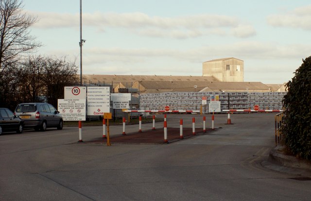
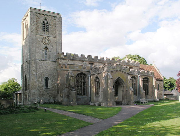
Chiswick End Images
Images are sourced within 2km of 52.090792/0.001966 or Grid Reference TL3745. Thanks to Geograph Open Source API. All images are credited.


Chiswick End is located at Grid Ref: TL3745 (Lat: 52.090792, Lng: 0.001966)
Administrative County: Cambridgeshire
District: South Cambridgeshire
Police Authority: Cambridgeshire
What 3 Words
///mergers.porridge.smarter. Near Meldreth, Cambridgeshire
Nearby Locations
Related Wikis
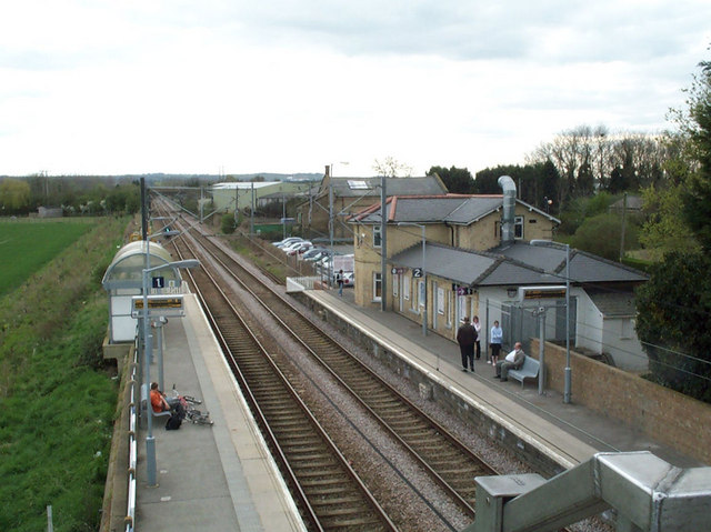
Meldreth railway station
Meldreth railway station serves the villages of Meldreth and Melbourn in Cambridgeshire, England. It is 47 miles 75 chains (47.94 miles, 77.15 km) from...
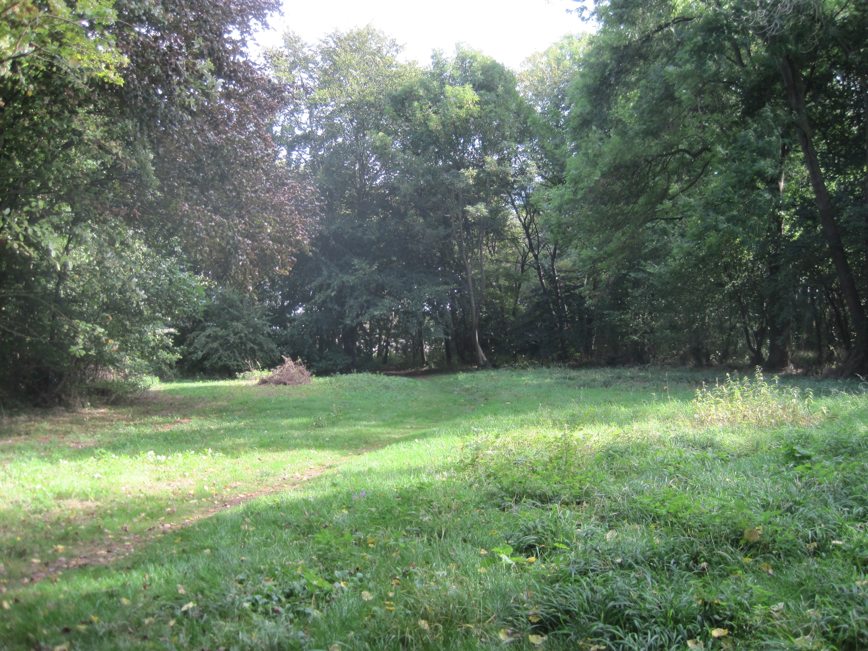
Melwood Local Nature Reserve
Melwood is a 0.6 hectare Local Nature Reserve in Meldreth in Cambridgeshire, England. It is owned by Cambridgeshire County Council and managed by the Melwood...
Meldreth
Meldreth is a village and civil parish in South Cambridgeshire, England, located around 10 miles (16 km) south-west of Cambridge. At the 2011 Census, the...

Melbourn Village College
Melbourn Village College is a secondary school with academy status, located in Melbourn, Cambridgeshire, England that serves an extensive area of South...
Nearby Amenities
Located within 500m of 52.090792,0.001966Have you been to Chiswick End?
Leave your review of Chiswick End below (or comments, questions and feedback).