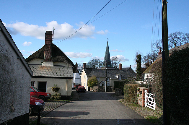
Padely Wood

Wood, Forest in Devon North Devon

England

Padely Wood
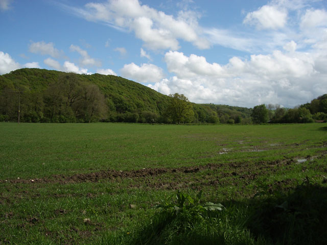
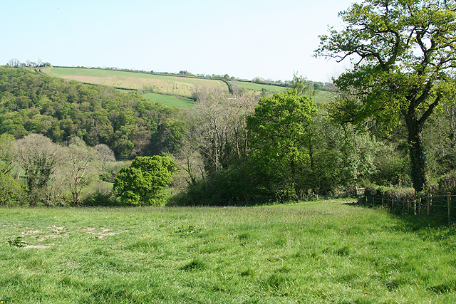
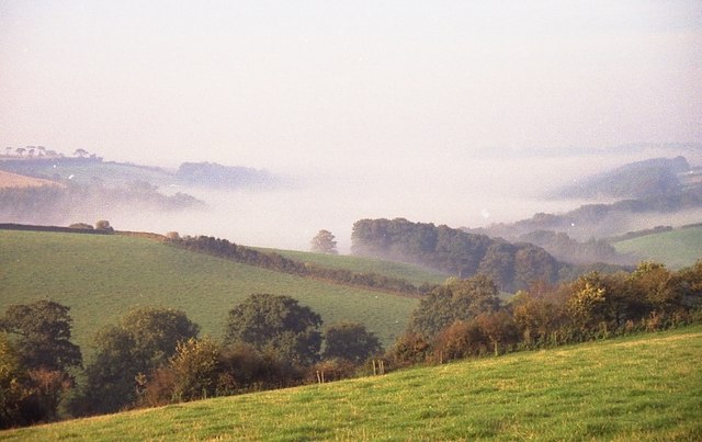
Mole Valley Looking SE to the woods on the East bank of the river. The whole square is woodland or farmland, apart from a few dwellings and an excellent wine merchant where the cider mill used to be.
Mole Valley Credit: Ainsley Bennett

The requested URL returned error: 429 Too Many Requests

If you have any feedback on the listing, please let us know in the comments section below.

Padely Wood Images

Images are sourced within 2km of 50.979357/-3.8871668 or Grid Reference SS6721. Thanks to Geograph Open Source API. All images are credited.
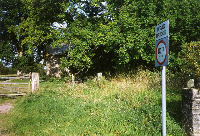
Mole Valley Looking SE to the woods on the East bank of the river. The whole square is woodland or farmland, apart from a few dwellings and an excellent wine merchant where the cider mill used to be.
Mole Valley
Looking SE to the woods on the East bank of the river. The whole square is woodland or farmland, apart from a few dwellings and an excellent wine merchant where the cider mill used to be.
Kings Nympton: Cawseys Meethe Mill A derelict and rather exceptional mill, hidden under the trees in 1993. It has since been on the market. The mill contains or contained twin internal undershot waterwheels constructed almost entirely of wood and other wooden machinery. Its waterwheels were powered by a leat from the river Mole. The tailwater ran into the Bray: the mill stands near the confluence of the two rivers
Kings Nympton: Cawseys Meethe Mill
A derelict and rather exceptional mill, hidden under the trees in 1993. It has since been on the market. The mill contains or contained twin internal undershot waterwheels constructed almost entirely of wood and other wooden machinery. Its waterwheels were powered by a leat from the river Mole. The tailwater ran into the Bray: the mill stands near the confluence of the two rivers
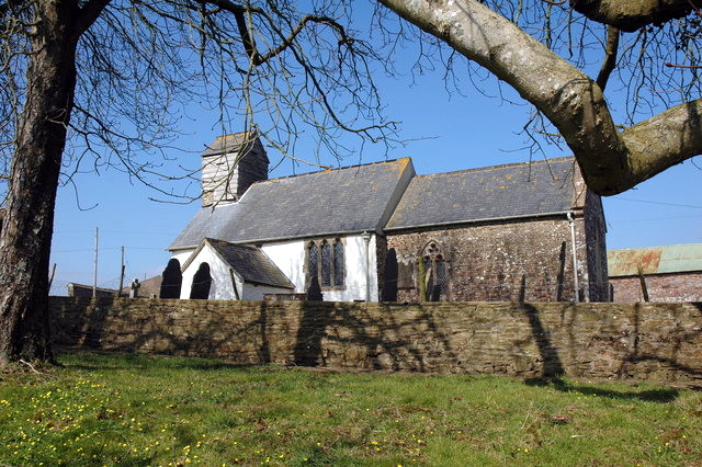
St Peter's Church - Satterleigh This church is not now used but is maintained. The wooden tower is 
unusual and is most probably unique in Devon. It does contain bells.
St Peter's Church - Satterleigh
This church is not now used but is maintained. The wooden tower is unusual and is most probably unique in Devon. It does contain bells.
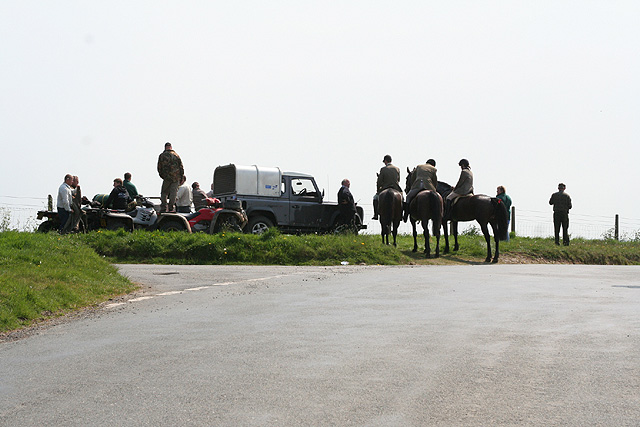
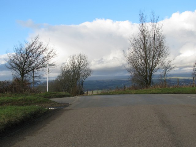
King’s Nympton: Joce’s Cross Riders and followers of a hunt. Looking south-south-east
King’s Nympton: Joce’s Cross
Riders and followers of a hunt. Looking south-south-east
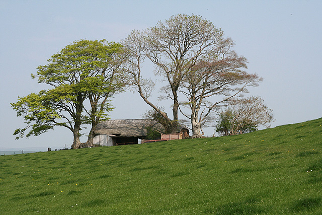
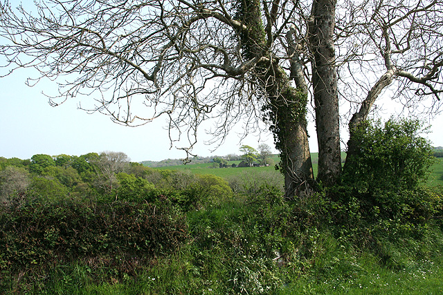
King’s Nympton: barn with trees
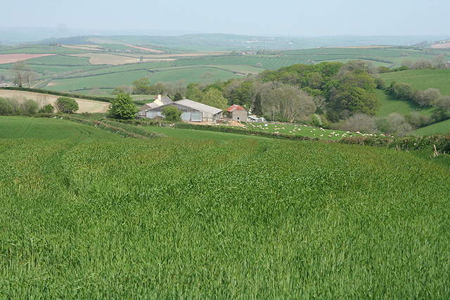
King’s Nympton: towards Sampson Barton Seen from the public footpath from Wamford Tree
King’s Nympton: towards Sampson Barton
Seen from the public footpath from Wamford Tree
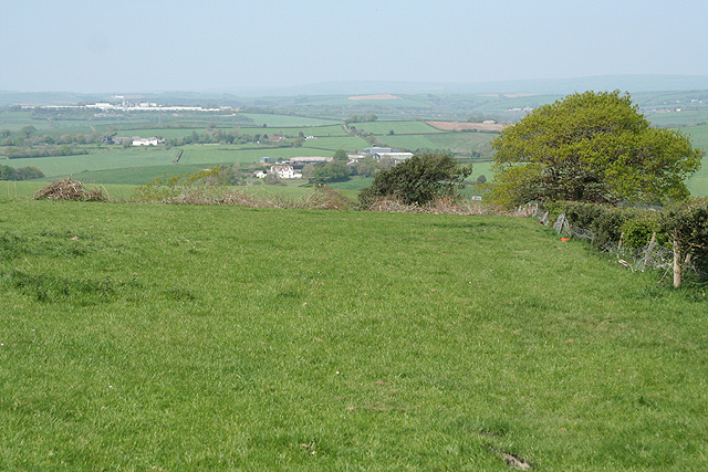
King’s Nympton: above Caplecombe Looking north with the chipboard factory near South Molton visible in the distance
King’s Nympton: above Caplecombe
Looking north with the chipboard factory near South Molton visible in the distance
King’s Nympton: towards East Stone Between Higher Wampford and Sampson Barton. Looking south east
King’s Nympton: towards East Stone
Between Higher Wampford and Sampson Barton. Looking south east
King’s Nympton: towards Sampson Barton
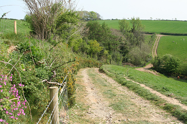
King’s Nympton: between Down Farm and South Aish Looking south-south-east on a track which is also a public footpath
King’s Nympton: between Down Farm and South Aish
Looking south-south-east on a track which is also a public footpath
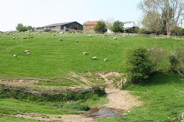
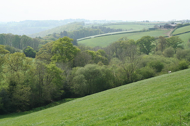
King’s Nympton: towards Captain’s Brake A steep-sided valley with barns at Sletchcott up on the hill, right. Seen from a public footpath
King’s Nympton: towards Captain’s Brake
A steep-sided valley with barns at Sletchcott up on the hill, right. Seen from a public footpath
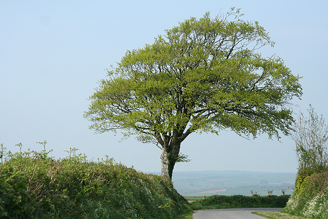
King’s Nympton: tree by Sampson’s Moor Looking north-north-west
King’s Nympton: tree by Sampson’s Moor
Looking north-north-west
Satterleigh and Warkleigh: above the Mole valley Looking south-south-east
Satterleigh and Warkleigh: above the Mole valley
Looking south-south-east
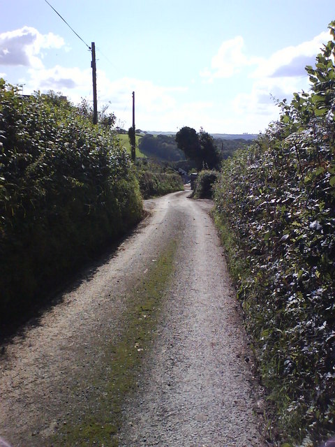
Moss Down The Middle! Lane between Sletchcott and Hele
Moss Down The Middle!
Lane between Sletchcott and Hele
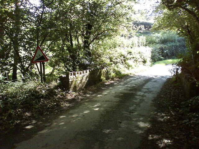
Steep Ascent Ahead Small stone bridge with castellations crosses Hele Water
Steep Ascent Ahead
Small stone bridge with castellations crosses Hele Water
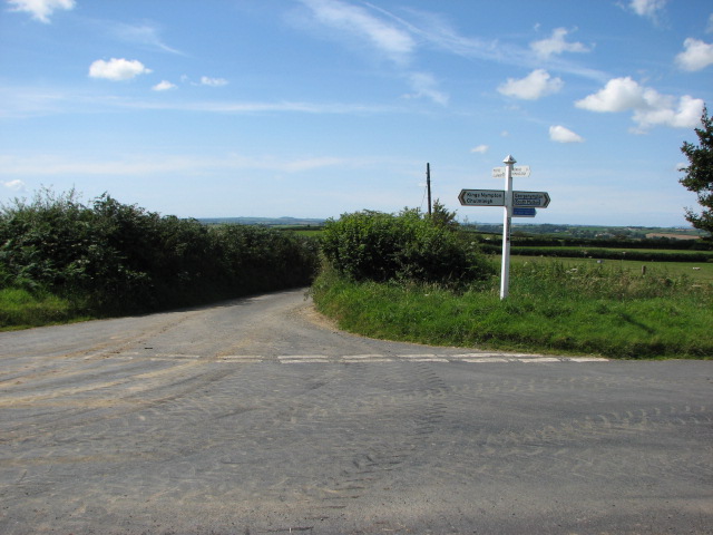
Joses Cross
Joses Cross
Looking towards Kingsnympton
Jose's Cross
Jose's Cross
Show me another place!

Padely Wood is located at Grid Ref: SS6721 (Lat: 50.979357, Lng: -3.8871668)

Administrative County: Devon

District: North Devon

Police Authority: Devon and Cornwall

What 3 Words

///inkjet.perch.similar. Near South Molton, Devon

Nearby Locations

Bias Wood Padely Wood

Related Wikis

St Peter's Church, Satterleigh

St Peter's Church in Satterleigh, Devon, England was built in the 15th century. It is recorded in the National Heritage List for England as a designated...

River Bray

The River Bray is a small river in North Devon, England. It is a tributary of the River Mole, which in turn is a tributary of the River Taw. It rises in...

King's Nympton

King's Nympton (Latinised to Nymet Regis) is a village, parish and former manor in the North Devon district, in Devon, England, in the heart of the rolling...

Satterleigh and Warkleigh

Satterleigh and Warkleigh is a civil parish in North Devon district, Devon, England. In the 2011 census it was recorded as having a population of 170....

Nearby Amenities

Located within 500m of 50.979357,-3.8871668
Generator Method: photovoltaic
Generator Output Electricity: yes
Generator Source: solar
Generator Type: solar_photovoltaic_panel
Location: roof
Power: generator
Lat/Long: 50.9803219/-3.8803934
The data included in this document is from www.openstreetmap.org. The data is made available under ODbL.

Have you been to Padely Wood?

Leave your review of Padely Wood below (or comments, questions and feedback).