Bias Wood
Wood, Forest in Devon North Devon
England
Bias Wood
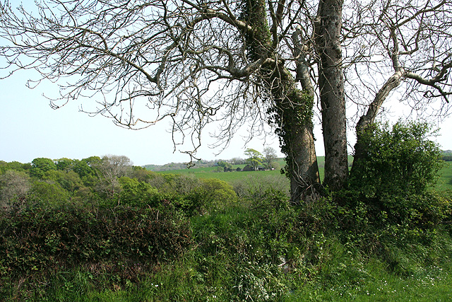
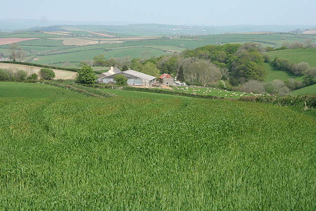
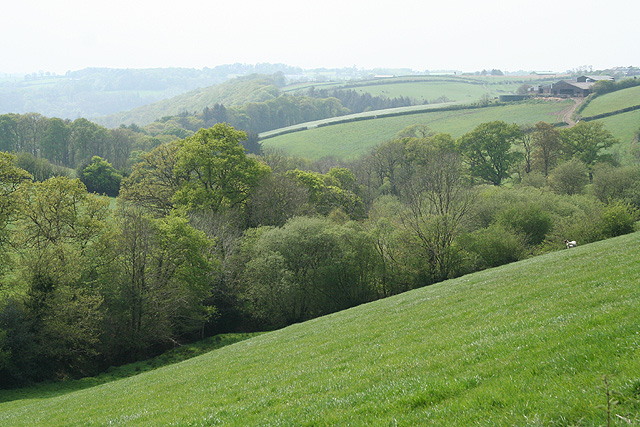
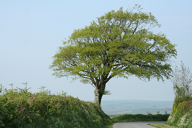
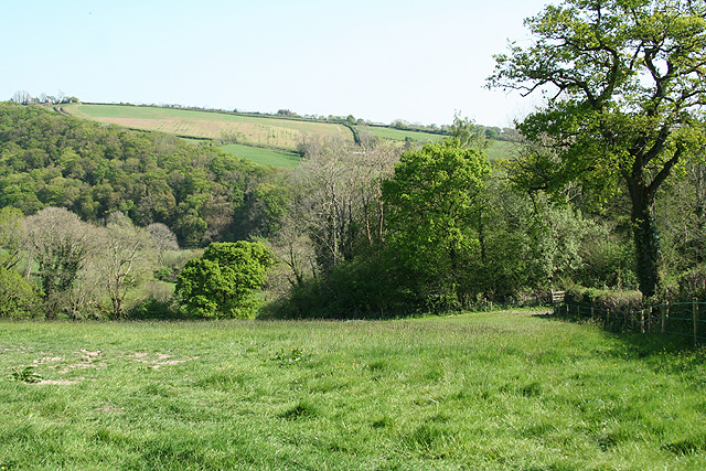
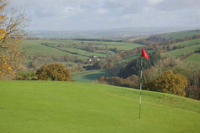
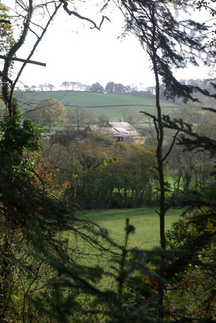
Bias Wood is a picturesque forest located in Devon, England. Nestled in the heart of the county, this woodland area is known for its natural beauty and tranquil atmosphere. The forest covers an expansive area of approximately 200 acres, offering visitors ample space to explore and immerse themselves in the wonders of nature.
One of the defining features of Bias Wood is its dense canopy of trees, which creates a cool and shady environment even on the hottest summer days. The forest is predominantly made up of deciduous trees such as oak, beech, and birch, which provide a stunning display of vibrant colors during the autumn months. These trees also serve as a home to a variety of wildlife, including squirrels, deer, and various species of birds.
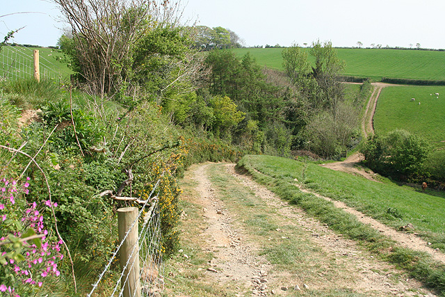
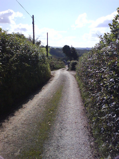
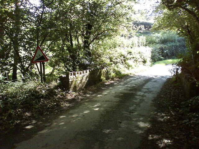
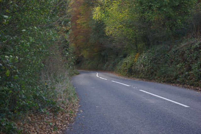
Numerous walking trails crisscross Bias Wood, allowing visitors to discover its hidden treasures at their own pace. These trails vary in difficulty, catering to both casual strollers and avid hikers. Along the way, visitors can find serene ponds, babbling brooks, and charming wooden bridges that add to the enchanting atmosphere of the forest.
For those seeking a more immersive experience, camping facilities are available within Bias Wood. Campers can pitch their tents in designated areas and enjoy a night under the starry sky, surrounded by the peaceful sounds of nature.
Bias Wood is a cherished destination for nature enthusiasts, photographers, and families alike. Its natural beauty, diverse wildlife, and well-maintained trails make it a haven for those seeking an escape from the hustle and bustle of everyday life. Whether for a day trip or a longer stay, Bias Wood offers a truly magical experience for all who visit.
If you have any feedback on the listing, please let us know in the comments section below.
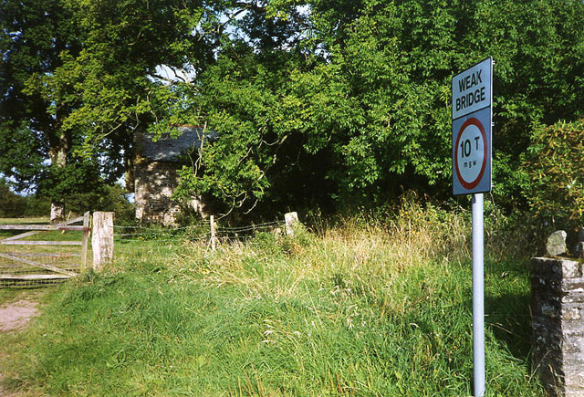
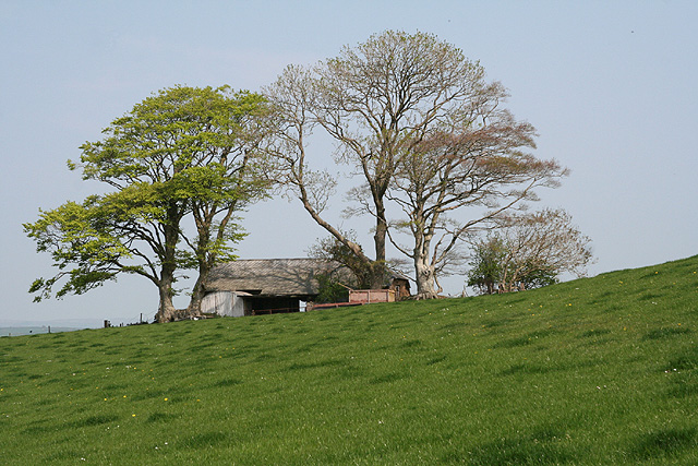
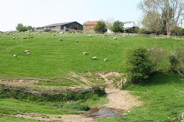
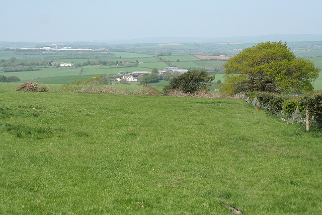
Bias Wood Images
Images are sourced within 2km of 50.977114/-3.8918053 or Grid Reference SS6721. Thanks to Geograph Open Source API. All images are credited.


Bias Wood is located at Grid Ref: SS6721 (Lat: 50.977114, Lng: -3.8918053)
Administrative County: Devon
District: North Devon
Police Authority: Devon and Cornwall
What 3 Words
///sneezing.garlic.narrow. Near South Molton, Devon
Nearby Locations
Related Wikis
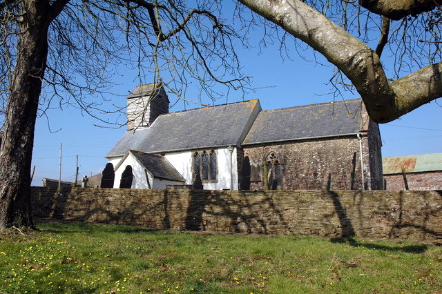
St Peter's Church, Satterleigh
St Peter's Church in Satterleigh, Devon, England was built in the 15th century. It is recorded in the National Heritage List for England as a designated...
King's Nympton
King's Nympton (Latinised to Nymet Regis) is a village, parish and former manor in the North Devon district, in Devon, England, in the heart of the rolling...

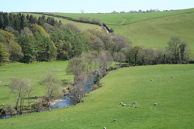
River Bray
The River Bray is a small river in North Devon, England. It is a tributary of the River Mole, which in turn is a tributary of the River Taw. It rises in...
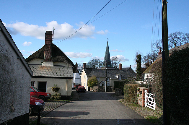
Satterleigh and Warkleigh
Satterleigh and Warkleigh is a civil parish in North Devon district, Devon, England. In the 2011 census it was recorded as having a population of 170....

Chittlehamholt
Chittlehamholt is a village and civil parish in North Devon district, Devon, England. In the 2011 census it was recorded as having a population of 169...

George Nympton
George Nympton or Nymet St George is a small village and civil parish in North Devon district, Devon, England. In the 2011 census it was recorded as having...
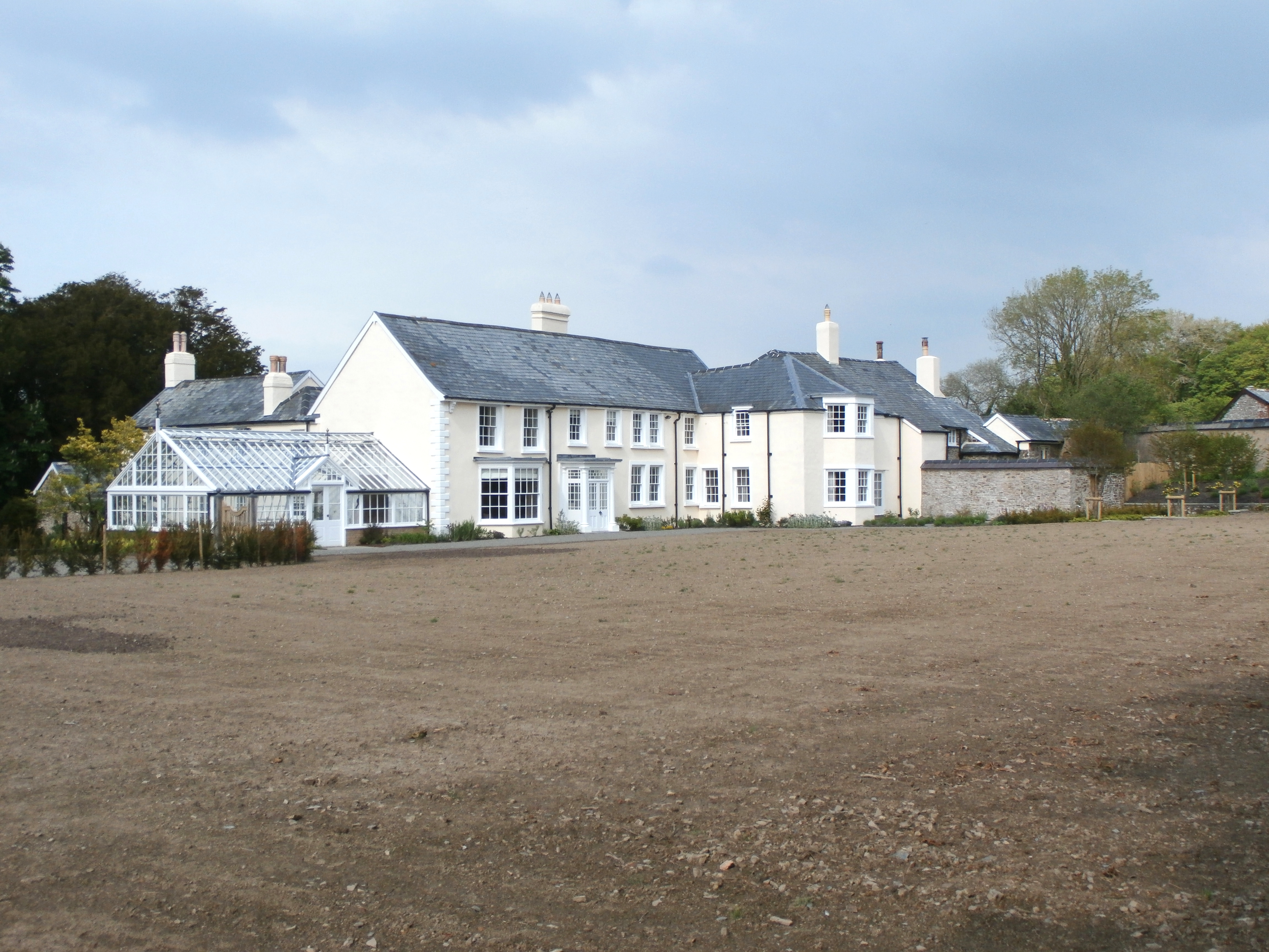
Hudscott
Hudscott is a historic estate within the parish and former manor of Chittlehampton, Devon. From 1700 it became a seat of a junior branch of the influential...
River Mole, Devon
The River Mole a tributary of the River Taw in Devon which rises on the southwestern border of Exmoor. The river takes its name from the market towns of...
Related Videos

Our Wedding at Highbullen Hotel
This hotel is absolutely amazing, they made our wedding perfect and we couldn't of had a better day. 10.09.2021.
Nearby Amenities
Located within 500m of 50.977114,-3.8918053Have you been to Bias Wood?
Leave your review of Bias Wood below (or comments, questions and feedback).