Pitt Wood
Wood, Forest in Devon North Devon
England
Pitt Wood
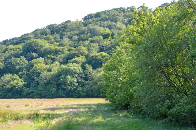
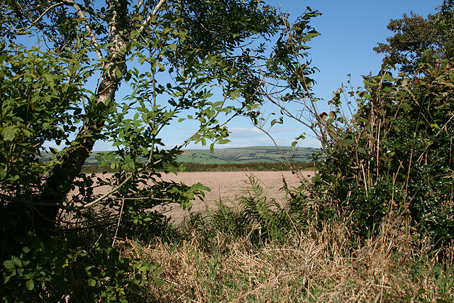
Pitt Wood is a picturesque forest located in the county of Devon, England. Covering an area of approximately 100 acres, it is nestled in the heart of the rolling countryside, making it a popular destination for nature enthusiasts and outdoor enthusiasts alike.
The forest is characterized by its dense woodland, consisting primarily of native tree species such as oak, beech, and ash. These towering trees create a tranquil and peaceful atmosphere, providing a haven for a diverse range of flora and fauna. The forest floor is carpeted with a variety of wildflowers, adding splashes of color to the greenery.
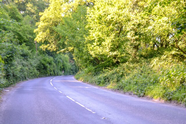
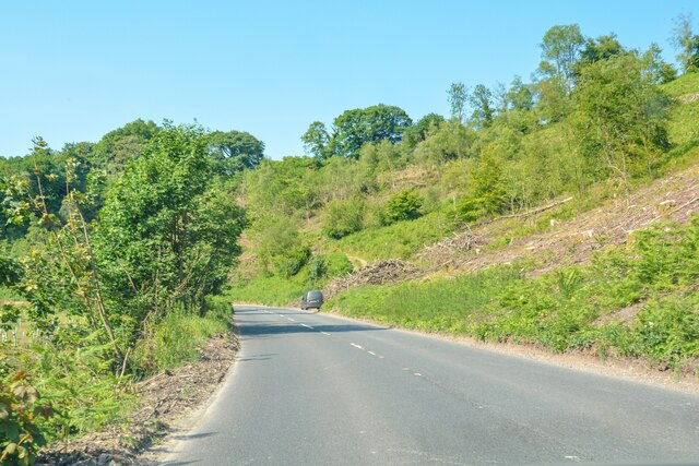
Pitt Wood boasts a network of well-maintained trails, making it ideal for walkers, hikers, and cyclists. These paths wind through the forest, offering visitors the opportunity to explore its hidden corners and discover its natural wonders. Along the way, there are designated picnic areas where visitors can pause and enjoy a meal surrounded by the sights and sounds of nature.
The forest is also home to a rich array of wildlife. Birdwatchers can spot a variety of species, including woodpeckers, owls, and warblers. Deer and foxes are frequently sighted, while smaller creatures such as squirrels and rabbits are a common sight darting amongst the undergrowth.
Pitt Wood is open to the public year-round, providing a peaceful retreat from the hustle and bustle of everyday life. Whether you are seeking a leisurely stroll, an adventurous hike, or simply a moment of tranquility, this enchanting forest in Devon offers a natural escape that is sure to captivate and inspire.
If you have any feedback on the listing, please let us know in the comments section below.
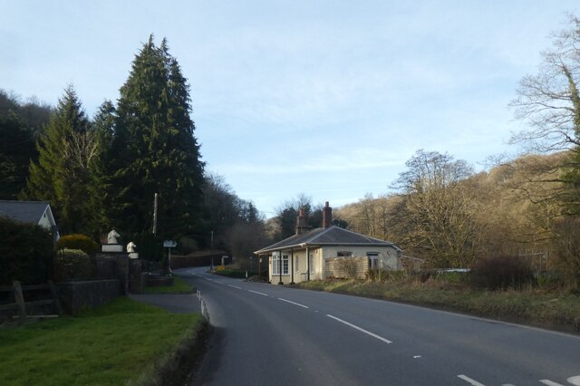
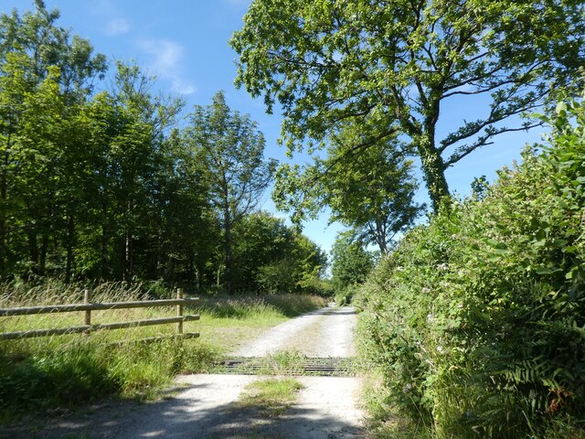
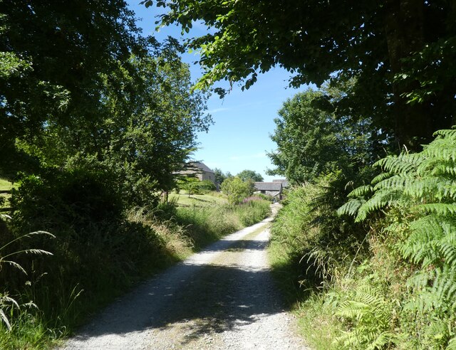
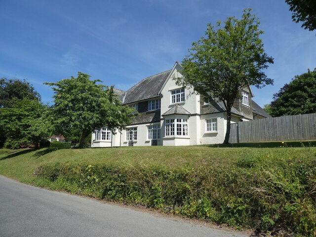
Pitt Wood Images
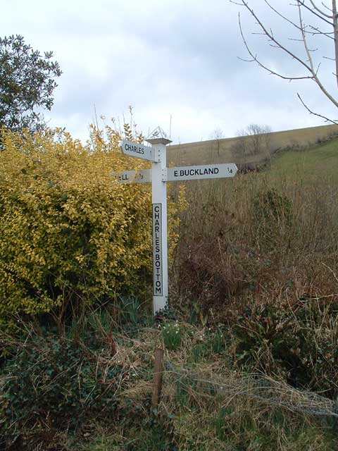
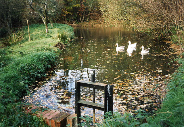
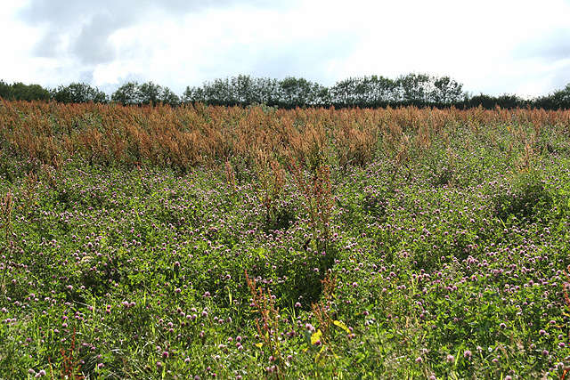
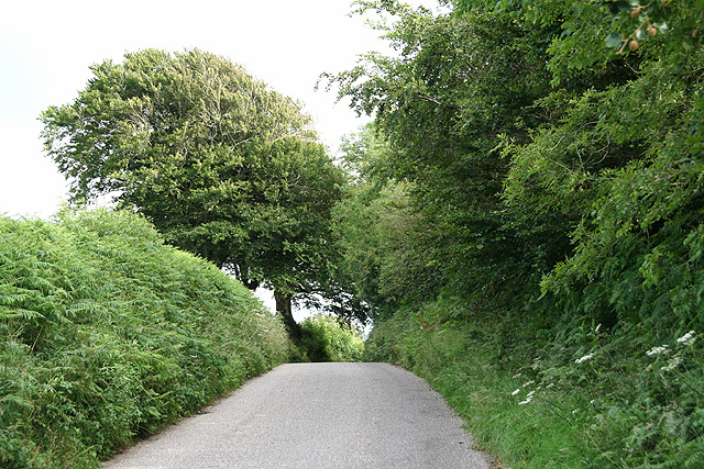
Images are sourced within 2km of 51.072024/-3.8910064 or Grid Reference SS6732. Thanks to Geograph Open Source API. All images are credited.


Pitt Wood is located at Grid Ref: SS6732 (Lat: 51.072024, Lng: -3.8910064)
Administrative County: Devon
District: North Devon
Police Authority: Devon and Cornwall
What 3 Words
///sometime.perch.shears. Near South Molton, Devon
Nearby Locations
Related Wikis

East and West Buckland
East and West Buckland is a civil parish in the English county of Devon. Forming part of the district of North Devon its main settlements are West Buckland...

East Buckland
East Buckland is a small village and former civil parish, now in the parish of East and West Buckland, in the North Devon district of Devon, England, next...

Brayford
Brayford is a village and civil parish in Devon, England, situated about 5 miles (8.0 km) from South Molton and 6 miles (9.7 km) from Barnstaple. It lies...

West Buckland, Devon
West Buckland is a small village and former manor, now in the parish of East and West Buckland, in the North Devon district, in the county of Devon, England...
Have you been to Pitt Wood?
Leave your review of Pitt Wood below (or comments, questions and feedback).