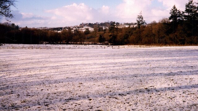
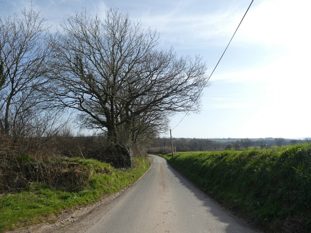
Stabdon Plantation

Wood, Forest in Devon Torridge

England

Stabdon Plantation

Old Wayside Cross - moved to Bondleigh churchyard Bondleigh Churchyard Cross, old shaft and base, by the footpath, in parish of Bondleigh (West Devon District), South of the Church, amongst the graves.

Grade II listed.
List Entry Number: 1105390 <span class="nowrap"><a title="https://historicengland.org.uk/listing/the-list/list-entry/1105390" rel="nofollow ugc noopener" href="https://historicengland.org.uk/listing/the-list/list-entry/1105390">Link</a><img style="margin-left:2px;" alt="External link" title="External link - shift click to open in new window" src="https://s1.geograph.org.uk/img/external.png" width="10" height="10"/></span>

Scheduled Monument.
List Entry Number: 1013740 <span class="nowrap"><a title="https://historicengland.org.uk/listing/the-list/list-entry/1013740" rel="nofollow ugc noopener" href="https://historicengland.org.uk/listing/the-list/list-entry/1013740">Link</a><img style="margin-left:2px;" alt="External link" title="External link - shift click to open in new window" src="https://s1.geograph.org.uk/img/external.png" width="10" height="10"/></span>

Surveyed

Milestone Society National ID: DVWD_BON
Old Wayside Cross - moved to Bondleigh churchyard Credit: Alan Rosevear

The requested URL returned error: 429 Too Many Requests

If you have any feedback on the listing, please let us know in the comments section below.

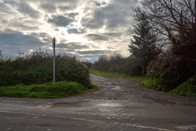
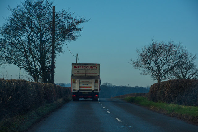
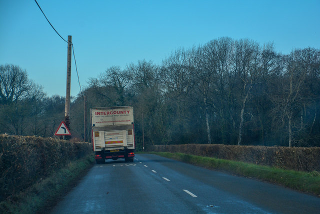
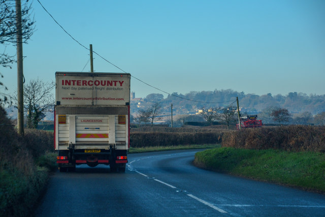
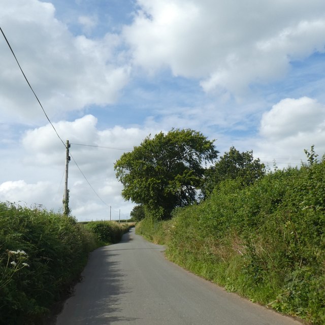
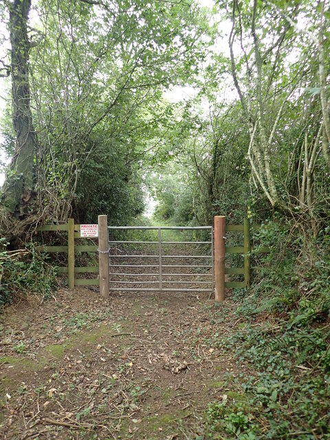
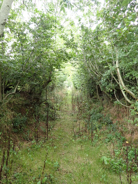
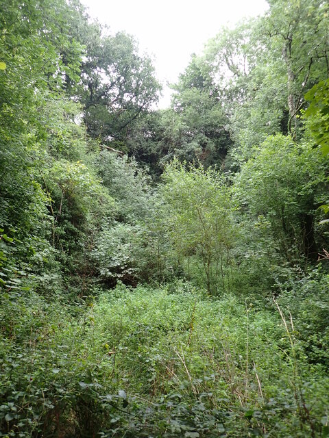
Stabdon Plantation Images

Images are sourced within 2km of 50.84124/-3.9123389 or Grid Reference SS6506. Thanks to Geograph Open Source API. All images are credited.

Old Wayside Cross - moved to Bondleigh churchyard Bondleigh Churchyard Cross, old shaft and base, by the footpath, in parish of Bondleigh (West Devon District), South of the Church, amongst the graves.

Grade II listed.
List Entry Number: 1105390 <span class="nowrap"><a title="https://historicengland.org.uk/listing/the-list/list-entry/1105390" rel="nofollow ugc noopener" href="https://historicengland.org.uk/listing/the-list/list-entry/1105390">Link</a><img style="margin-left:2px;" alt="External link" title="External link - shift click to open in new window" src="https://s1.geograph.org.uk/img/external.png" width="10" height="10"/></span>

Scheduled Monument.
List Entry Number: 1013740 <span class="nowrap"><a title="https://historicengland.org.uk/listing/the-list/list-entry/1013740" rel="nofollow ugc noopener" href="https://historicengland.org.uk/listing/the-list/list-entry/1013740">Link</a><img style="margin-left:2px;" alt="External link" title="External link - shift click to open in new window" src="https://s1.geograph.org.uk/img/external.png" width="10" height="10"/></span>

Surveyed

Milestone Society National ID: DVWD_BON
Old Wayside Cross - moved to Bondleigh churchyard
Bondleigh Churchyard Cross, old shaft and base, by the footpath, in parish of Bondleigh (West Devon District), South of the Church, amongst the graves. Grade II listed. List Entry Number: 1105390 LinkExternal link Scheduled Monument. List Entry Number: 1013740 LinkExternal link Surveyed Milestone Society National ID: DVWD_BON
Stump of old Milestone by the B3220, north of Taw Bridge Torrington wedge by the B3220, in parish of Bondleigh (West Devon District), Taw Mills, junction with lane to Brushford, at Western junction below sign post. 

Not lost, but almost completely buried.


Milestone Society National ID: DV_GTEX15
Stump of old Milestone by the B3220, north of Taw Bridge
Torrington wedge by the B3220, in parish of Bondleigh (West Devon District), Taw Mills, junction with lane to Brushford, at Western junction below sign post. Not lost, but almost completely buried. Milestone Society National ID: DV_GTEX15
Old Toll House by the B3220, Winkleigh Road, Taw Bridge Toll House by the B3220, in the parish of Coldridge (Mid Devon District), Taw Bridge Tollhouse, Winkleigh Road.
(See <span class="nowrap"><a title="https://www.flickr.com/photos/tollhouses/3202590990" rel="nofollow ugc noopener" href="https://www.flickr.com/photos/tollhouses/3202590990">Link</a><img style="margin-left:2px;" alt="External link" title="External link - shift click to open in new window" src="https://s1.geograph.org.uk/img/external.png" width="10" height="10"/></span> for a photo of the list of tolls shown on the left of the building.)

Grade II listed.
List Entry Number: 1162901 <span class="nowrap"><a title="https://historicengland.org.uk/listing/the-list/list-entry/1162901" rel="nofollow ugc noopener" href="https://historicengland.org.uk/listing/the-list/list-entry/1162901">Link</a><img style="margin-left:2px;" alt="External link" title="External link - shift click to open in new window" src="https://s1.geograph.org.uk/img/external.png" width="10" height="10"/></span>

Surveyed

Milestone Society National ID: DV.COL
Old Toll House by the B3220, Winkleigh Road, Taw Bridge
Toll House by the B3220, in the parish of Coldridge (Mid Devon District), Taw Bridge Tollhouse, Winkleigh Road. (See LinkExternal link for a photo of the list of tolls shown on the left of the building.) Grade II listed. List Entry Number: 1162901 LinkExternal link Surveyed Milestone Society National ID: DV.COL
Coldridge : Country Lane A small lane off the B3220.
Coldridge : Country Lane
A small lane off the B3220.
Coldridge : Millsome Road A small lane off the B3220.
Coldridge : Millsome Road
A small lane off the B3220.
Winkleigh : The B3220 Looking along the B3220 through the Winkleigh parish.
Winkleigh : The B3220
Looking along the B3220 through the Winkleigh parish.
Winkleigh : The B3220 Looking along the B3220 through the Winkleigh parish.
Winkleigh : The B3220
Looking along the B3220 through the Winkleigh parish.
Winkleigh : The B3220 Looking along the B3220 through the Winkleigh parish.
Winkleigh : The B3220
Looking along the B3220 through the Winkleigh parish.
Winkleigh : The B3220 Looking along the B3220 through the Winkleigh parish.
Winkleigh : The B3220
Looking along the B3220 through the Winkleigh parish.
Winkleigh : Track A track heading to Graysbridge off the B3220.
Winkleigh : Track
A track heading to Graysbridge off the B3220.
Bullowbrook Bridge
Bullowbrook Bridge
Passing place north of Bullowbrook Bridge
Road to Brushford from Bullowbrook Bridge
The end of Gulliver Lane No access beyond this gate which rapidly leads into farmland. The old lane here takes on a sunken nature with high banks with coppiced trees topping them. It is a great place for wildlife, we heard nowt except for bird calls , the rustle of the leaves and a trickling stream.
The end of Gulliver Lane
No access beyond this gate which rapidly leads into farmland. The old lane here takes on a sunken nature with high banks with coppiced trees topping them. It is a great place for wildlife, we heard nowt except for bird calls , the rustle of the leaves and a trickling stream.
The jungle that is Half Farthing Lane Care must be taken when walking down here especially if shorts are worn; brambles and nettles will paw at your legs, whilst burdock burrs will attach themselves to your socks and bootlaces.
Half Farthing Lane once reached Cholhouse, but where the PROW crosses the stile and heads towards Clapperdown, the hedge has taken over the lane, and it would take a week with a machete to cut through all the blackthorn.
The jungle that is Half Farthing Lane
Care must be taken when walking down here especially if shorts are worn; brambles and nettles will paw at your legs, whilst burdock burrs will attach themselves to your socks and bootlaces. Half Farthing Lane once reached Cholhouse, but where the PROW crosses the stile and heads towards Clapperdown, the hedge has taken over the lane, and it would take a week with a machete to cut through all the blackthorn.
Ridgetown Quarry (dis) Carboniferous Sandstone (Bude Formation) quarry that was most likely used for building material for local farms and possibly the church at Bondleigh, it is somewhat overgrown.
Ridgetown Quarry (dis)
Carboniferous Sandstone (Bude Formation) quarry that was most likely used for building material for local farms and possibly the church at Bondleigh, it is somewhat overgrown.
Fields at Bude Hill
Fields at Bude Hill
Lane heading south, to the B3220
Show me another place!

Stabdon Plantation is located at Grid Ref: SS6506 (Lat: 50.84124, Lng: -3.9123389)

Administrative County: Devon

District: Torridge

Police Authority: Devon and Cornwall

What 3 Words

///tanked.canoe.fetches. Near Winkleigh, Devon

Related Wikis

Bondleigh

Bondleigh is a village and civil parish in the West Devon district of Devon, England, on the River Taw, north of North Tawton. According to the 2011 census...

Brushford, Devon

Brushford is a village and civil parish in the Mid Devon district of Devon in England. According to the 2001 census it had a population of 59. The village...

Church of All Saints, Winkleigh

The Church of All Saints is a Church of England parish church in Winkleigh, Devon. The church is a Grade I listed building. == History == The earliest...

Winkleigh

Winkleigh is a civil parish and small village in Devon, England. It is part of the local government area of Torridge District Council. The population of...

Nearby Amenities

Located within 500m of 50.84124,-3.9123389
Penson Cross
Place: locality
Lat/Long: 50.8386179/-3.9153326
The data included in this document is from www.openstreetmap.org. The data is made available under ODbL.

Have you been to Stabdon Plantation?

Leave your review of Stabdon Plantation below (or comments, questions and feedback).