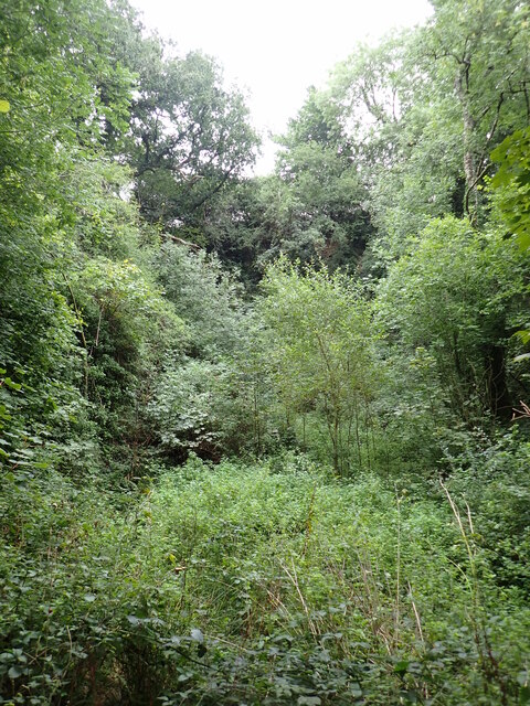
Cottle's Wood
Wood, Forest in Devon West Devon
England
Cottle's Wood
The requested URL returned error: 429 Too Many Requests
If you have any feedback on the listing, please let us know in the comments section below.
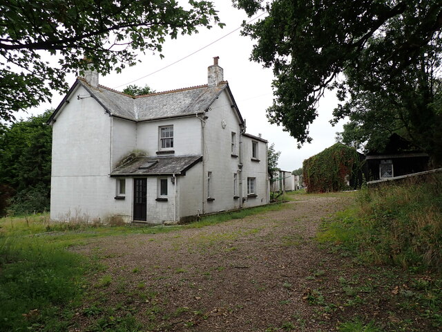
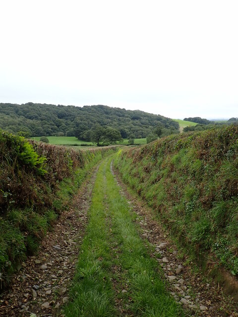
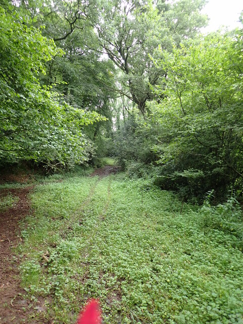
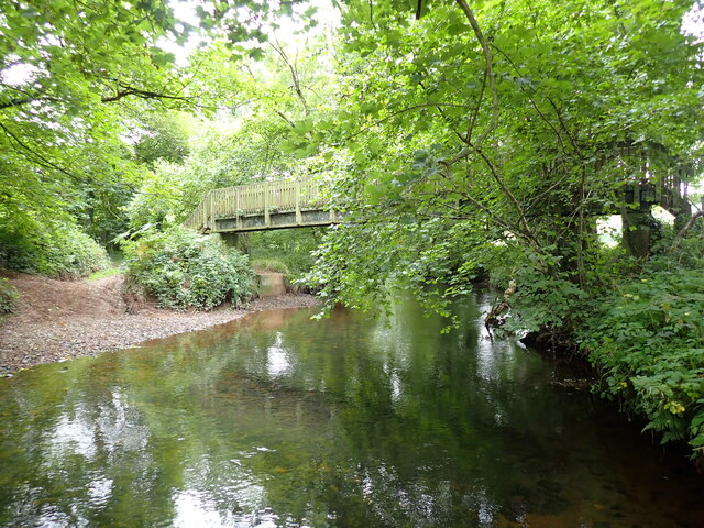
Cottle's Wood Images
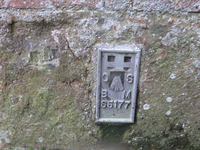
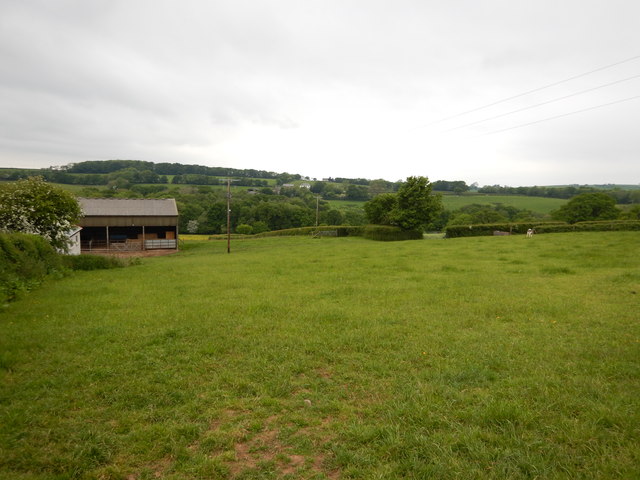
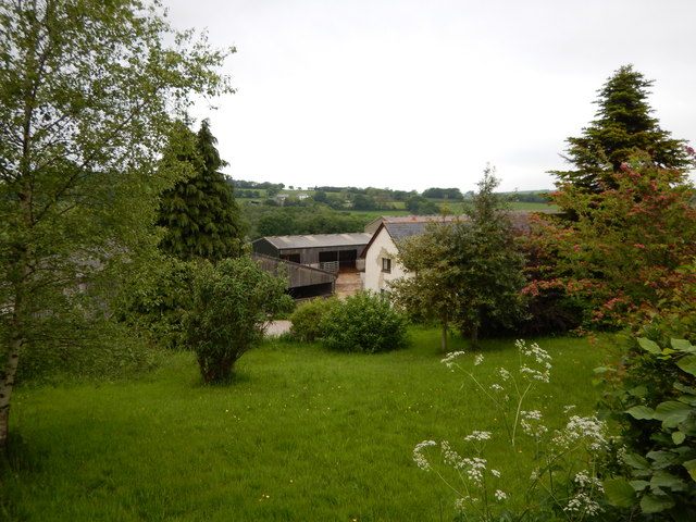
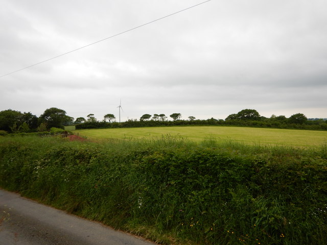
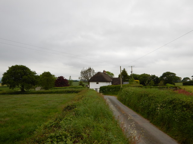
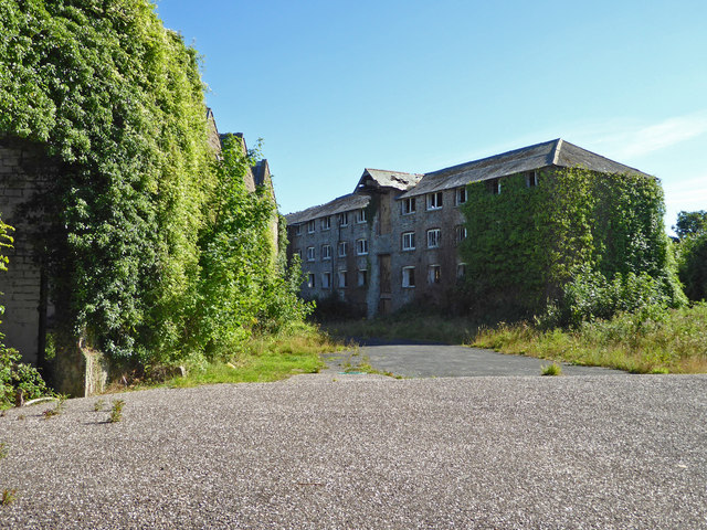
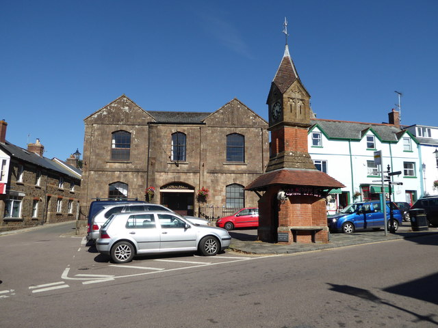
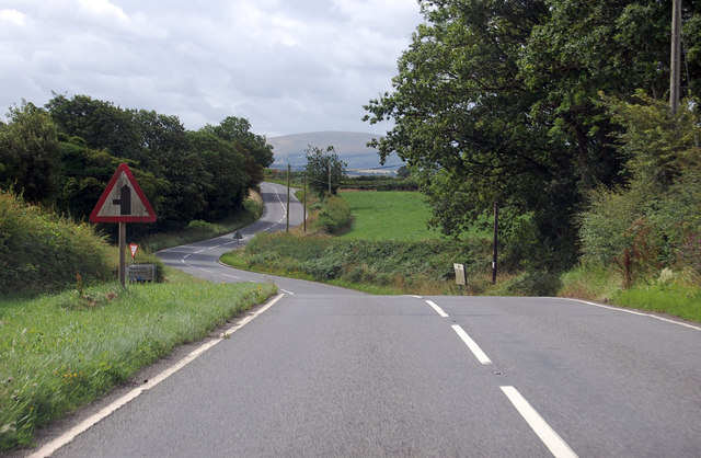
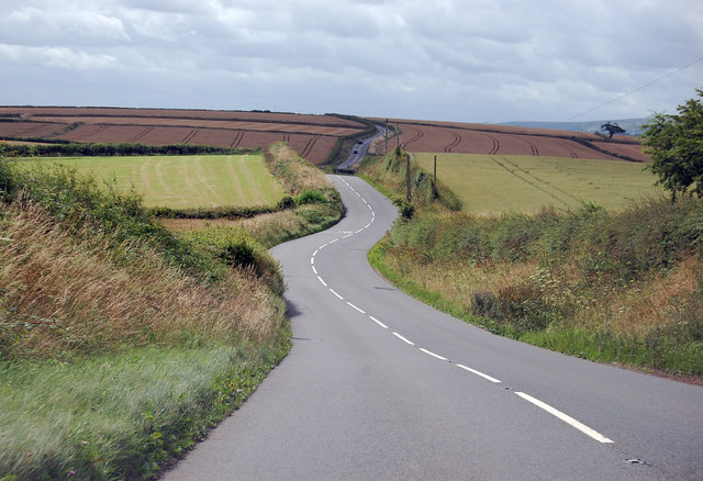
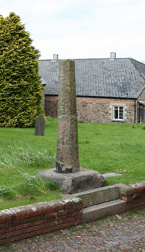
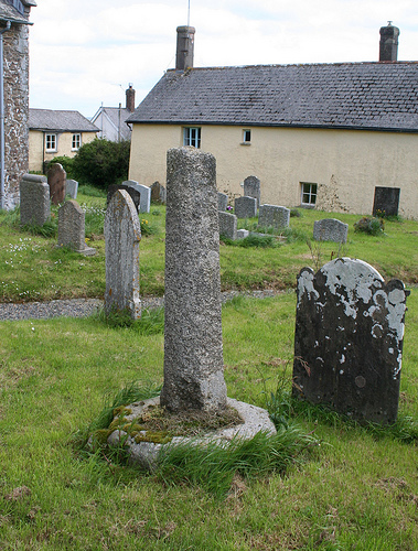
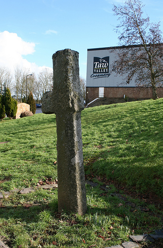
Images are sourced within 2km of 50.81476/-3.9109303 or Grid Reference SS6503. Thanks to Geograph Open Source API. All images are credited.
Cottle's Wood is located at Grid Ref: SS6503 (Lat: 50.81476, Lng: -3.9109303)
Administrative County: Devon
District: West Devon
Police Authority: Devon and Cornwall
What 3 Words
///zebra.darling.clenching. Near North Tawton, Devon
Nearby Locations
Related Wikis

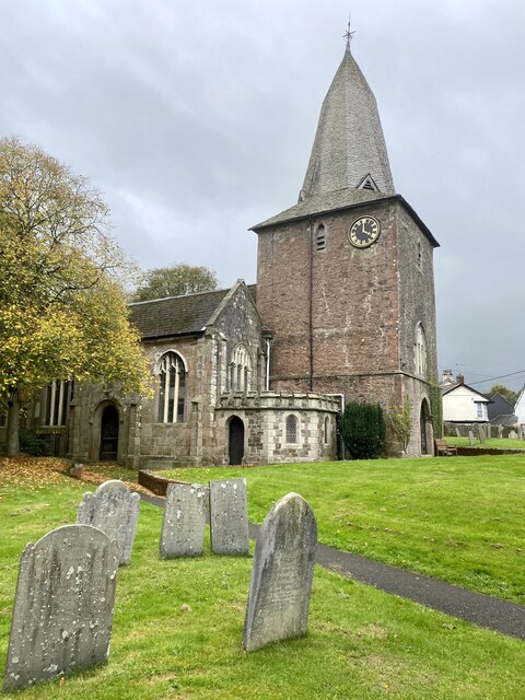
Bondleigh
Bondleigh is a village and civil parish in the West Devon district of Devon, England, on the River Taw, north of North Tawton. According to the 2011 census...

South West Peninsula
The South West Peninsula is the area of England between the Bristol Channel to the north and the English Channel to the south. It is part of the South...

North Tawton
North Tawton is a small town in Devon, England, situated on the river Taw. It is administered by West Devon Council. The population of the electoral...

North Tawton Town Hall
North Tawton Town Hall is a municipal building in The Square, North Tawton, Devon, England. The town hall, which is used for public events, is a Grade...
Nearby Amenities
Located within 500m of 50.81476,-3.9109303Have you been to Cottle's Wood?
Leave your review of Cottle's Wood below (or comments, questions and feedback).