Chipping
Settlement in Hertfordshire East Hertfordshire
England
Chipping
Chipping is a small village located in the county of Hertfordshire, England. Situated about 10 miles southwest of the county town of Hertford, Chipping is part of the East Hertfordshire district. The village is nestled in the picturesque countryside and offers a peaceful and idyllic setting for its residents.
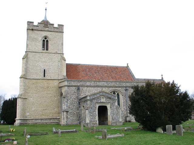
Chipping boasts a rich history that dates back to medieval times. The village is known for its charming and well-preserved traditional architecture, with many timber-framed buildings and thatched roofs still standing today. The centerpiece of Chipping is the historic St. Mary's Church, a Grade I listed building that dates back to the 12th century. The church is renowned for its intricate stained glass windows and impressive spire.
Despite its small size, Chipping offers a range of amenities for its residents. The village has a primary school, a local pub, a post office, and a small convenience store. Additionally, there are several community groups and organizations that contribute to the vibrant social life of the village.
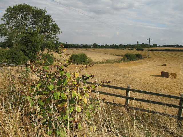
Chipping is surrounded by beautiful countryside, providing ample opportunities for outdoor activities such as walking, cycling, and horse riding. The village is also conveniently located near several major transport links, including the A10 road and nearby train stations in Ware and Hertford, making it easily accessible for commuters.
Overall, Chipping is a charming and historic village that offers a tranquil lifestyle, picturesque surroundings, and a close-knit community.
If you have any feedback on the listing, please let us know in the comments section below.
Chipping Images
Images are sourced within 2km of 51.970846/-0.025225 or Grid Reference TL3532. Thanks to Geograph Open Source API. All images are credited.


Chipping is located at Grid Ref: TL3532 (Lat: 51.970846, Lng: -0.025225)
Administrative County: Hertfordshire
District: East Hertfordshire
Police Authority: Hertfordshire
What 3 Words
///grocers.bedrock.ecologist. Near Buntingford, Hertfordshire
Nearby Locations
Related Wikis

Chipping, Hertfordshire
Chipping is a hamlet in the civil parish of Buckland in the East Hertfordshire district, in the county of Hertfordshire, England. Situated along the A10...

Buckland, Hertfordshire
Buckland is a village and civil parish in the East Hertfordshire district of Hertfordshire, England. The village is situated on the A10 road, with the...

St Andrew's Church, Buckland
St Andrew's Church is a redundant Anglican church in the village of Buckland, Hertfordshire, England. It is recorded in the National Heritage List for...

Freman College
Freman College is an upper school and sixth form with academy status in Buntingford, Hertfordshire, England. It was established as Ward Freman School in...

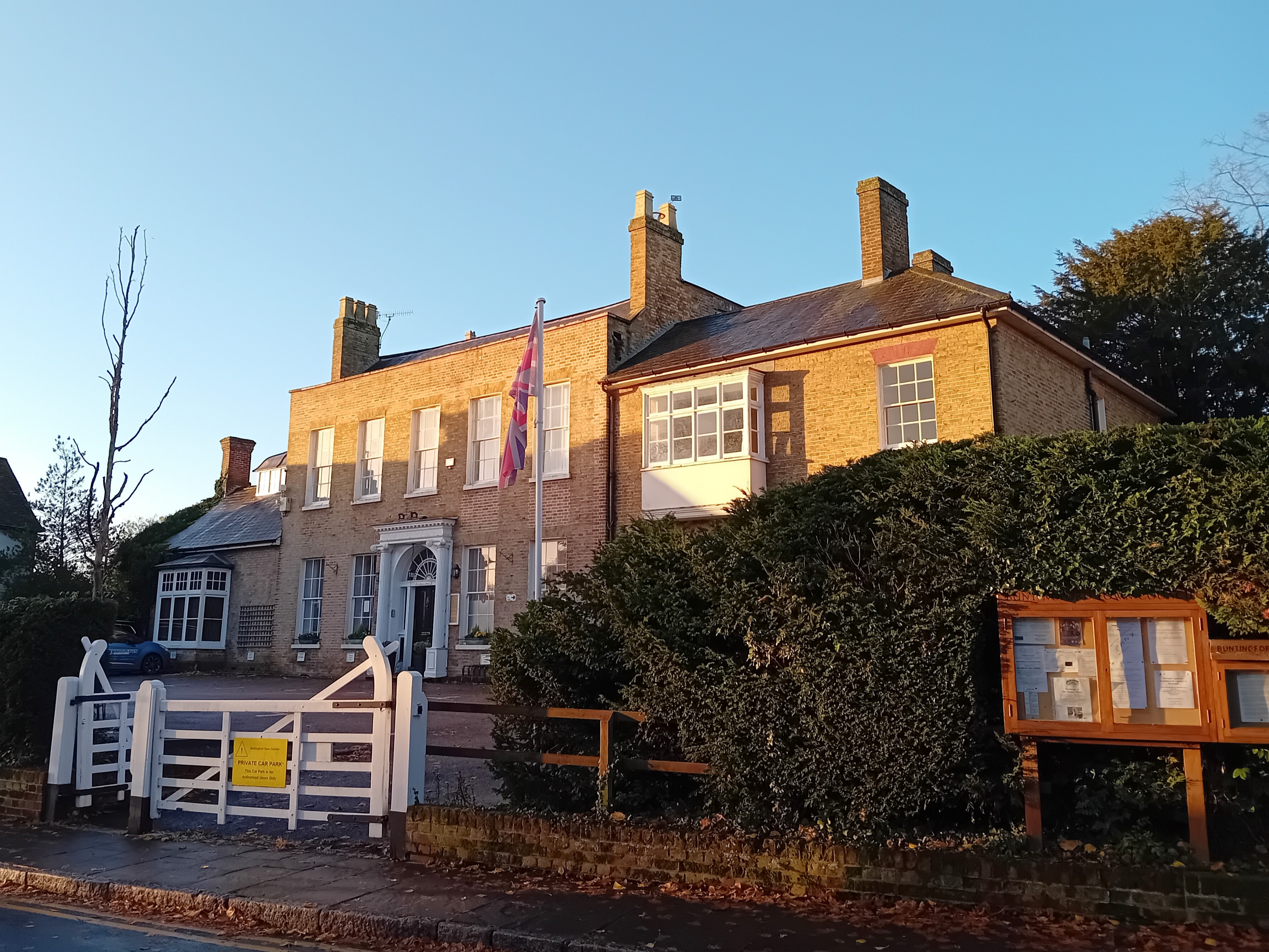
Red House, Buntingford
The Red House is a Queen Anne style house built around 1710 opposite the intersection of Norfolk Road and High Street in Buntingford, Hertfordshire, England...
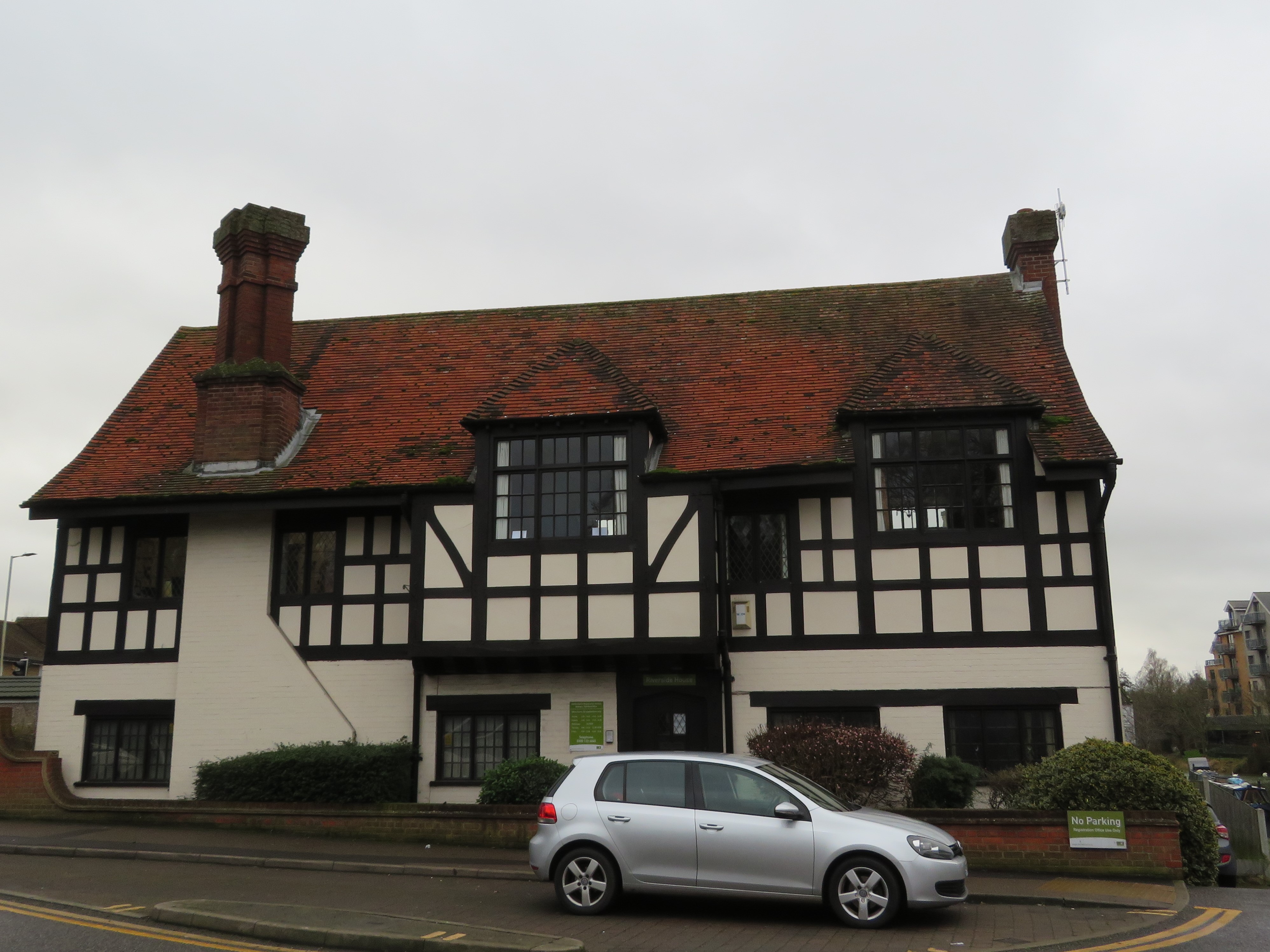
Buntingford Manor House
Buntingford Manor House is an 18th-century building in the town of Buntingford, in Hertfordshire, England. It is a Grade II listed building. == Usage... ==
Braughing Rural District
Braughing was a rural district in Hertfordshire, England from 1935 to 1974. == Creation == Braughing Rural District was created on 1 April 1935 under a...

Buntingford Rural District
Buntingford Rural District was a rural district in Hertfordshire, England from 1894 to 1935, covering the town of Buntingford and a number of surrounding...
Nearby Amenities
Located within 500m of 51.970846,-0.025225Have you been to Chipping?
Leave your review of Chipping below (or comments, questions and feedback).