Chimney Street
Settlement in Suffolk West Suffolk
England
Chimney Street
The requested URL returned error: 429 Too Many Requests
If you have any feedback on the listing, please let us know in the comments section below.
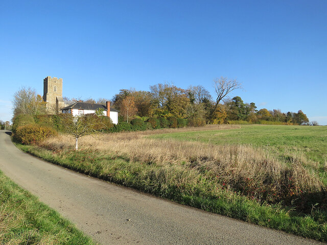
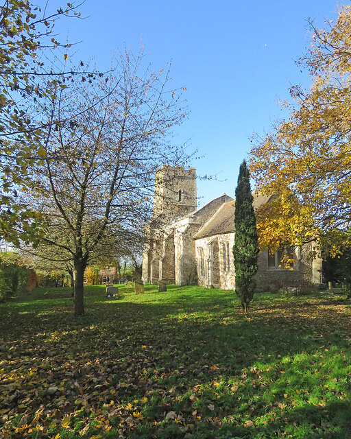
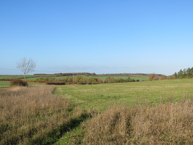
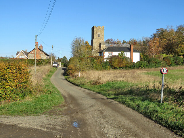
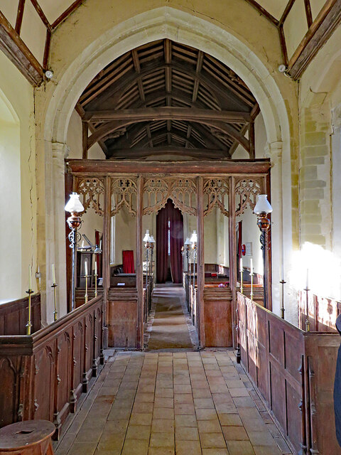
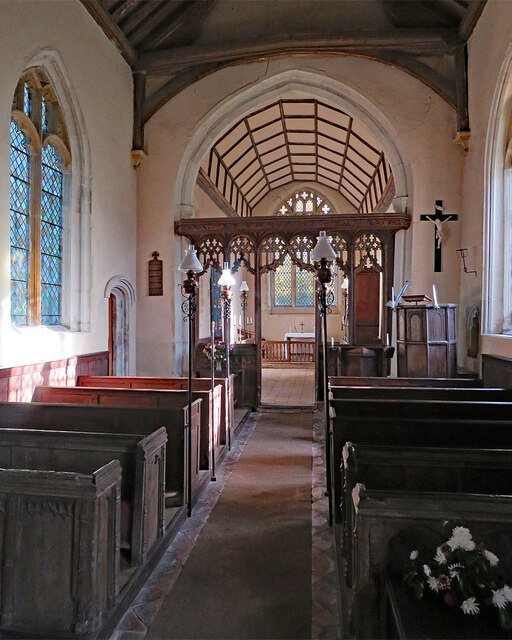
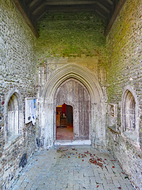
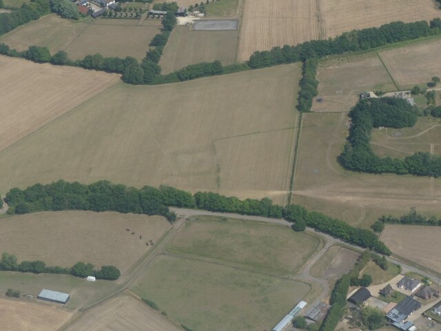
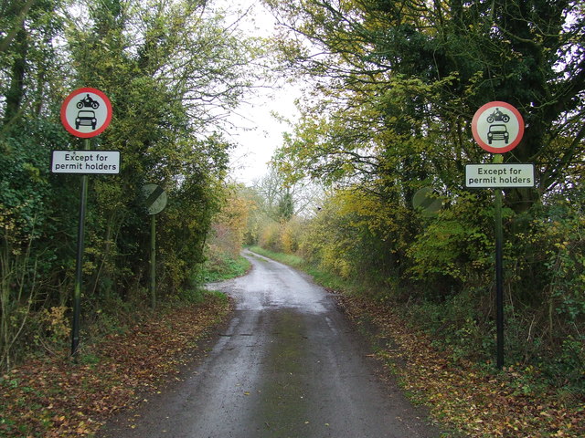
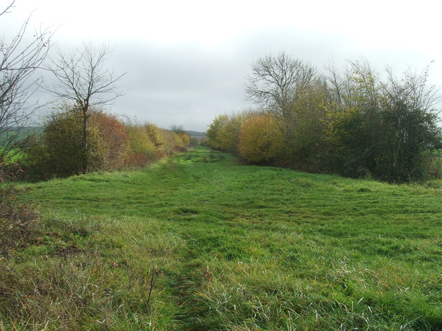
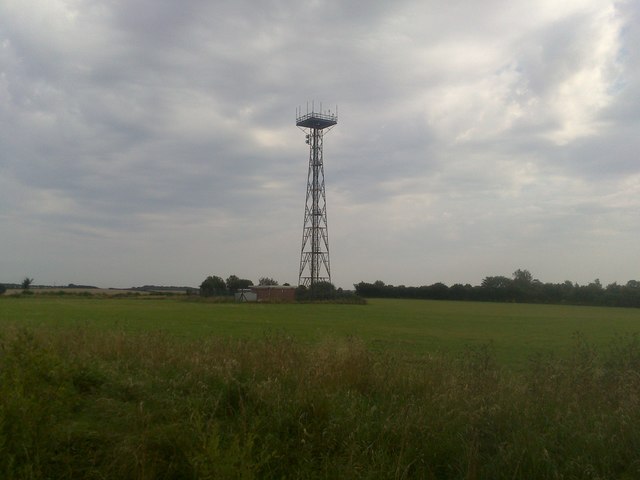
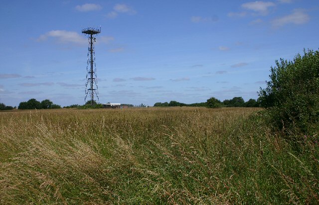
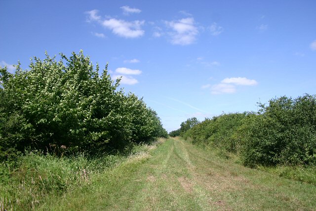
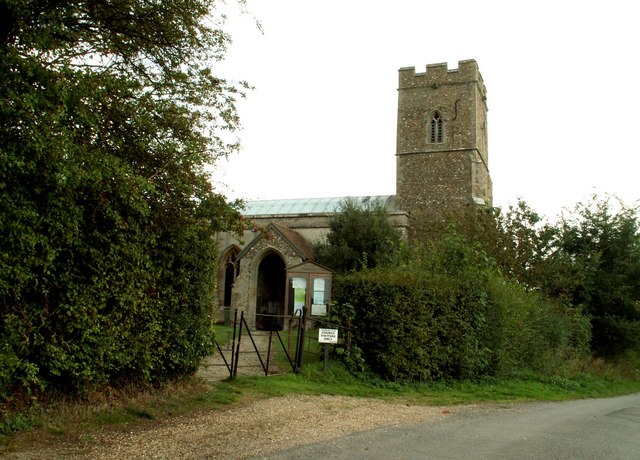
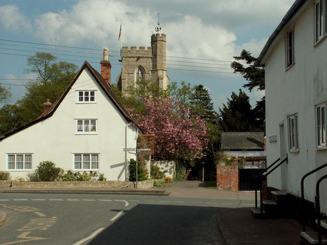
Chimney Street Images
Images are sourced within 2km of 52.111227/0.51912925 or Grid Reference TL7248. Thanks to Geograph Open Source API. All images are credited.


Chimney Street is located at Grid Ref: TL7248 (Lat: 52.111227, Lng: 0.51912925)
Administrative County: Suffolk
District: West Suffolk
Police Authority: Suffolk
What 3 Words
///spoil.donor.botanists. Near Kedington, Suffolk
Nearby Locations
Related Wikis

Babel Green
Babel Green is a village in Suffolk, England. There are 3969 places (city, towns, hamlets …) within a radius of 100 kilometers / 62 miles from the center...
Barnardiston
Barnardiston ( bar-nər-DIS-tən) is a village and parish in the West Suffolk district of Suffolk, England. The village is located about four miles north...
Hundon
Hundon is a village and civil parish in the West Suffolk district in Suffolk, England. The village is about 3 miles (5 km) north-west of the small town...

RAF Stradishall
Royal Air Force Stradishall or more simply RAF Stradishall is a former Royal Air Force station located 7 miles (11 km) north east of Haverhill, Suffolk...
Nearby Amenities
Located within 500m of 52.111227,0.51912925Have you been to Chimney Street?
Leave your review of Chimney Street below (or comments, questions and feedback).