Swanstone Plantation
Wood, Forest in Devon West Devon
England
Swanstone Plantation
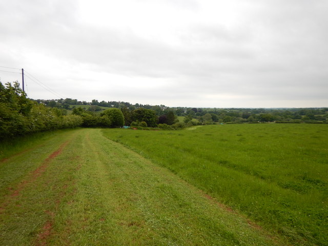
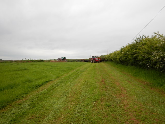
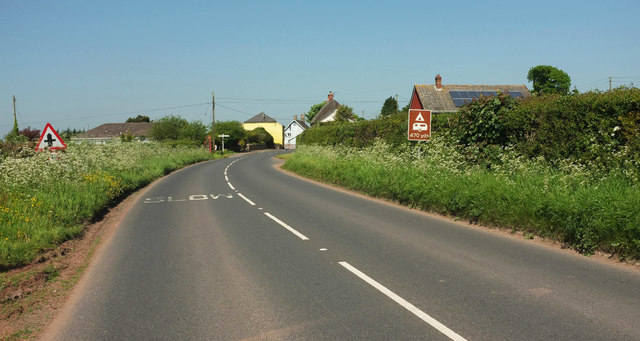
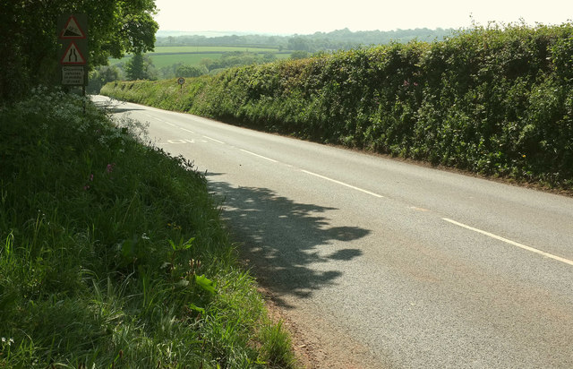
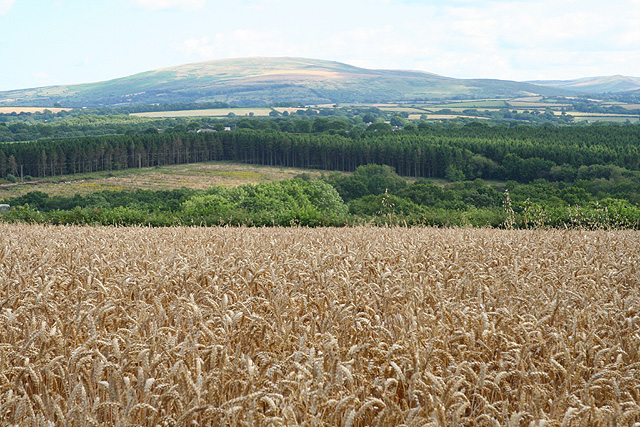
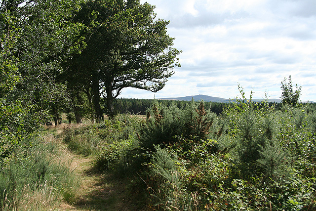
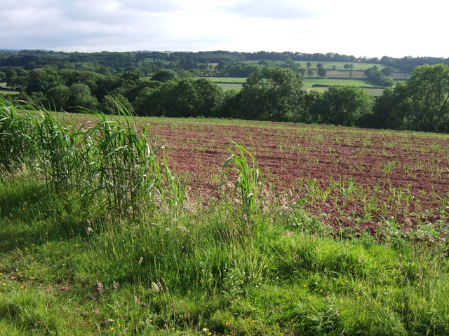
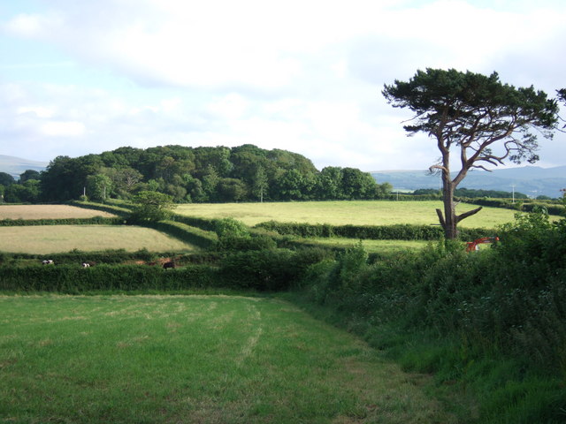
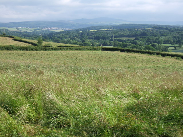
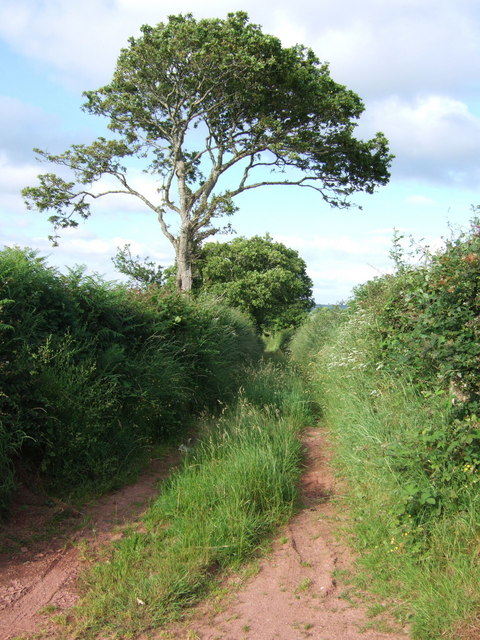
Swanstone Plantation is a picturesque woodland area located in Devon, England. Situated in the heart of a dense forest, it covers a substantial area of approximately 500 acres. The plantation is renowned for its rich biodiversity and stunning natural beauty, attracting nature enthusiasts, hikers, and photographers alike.
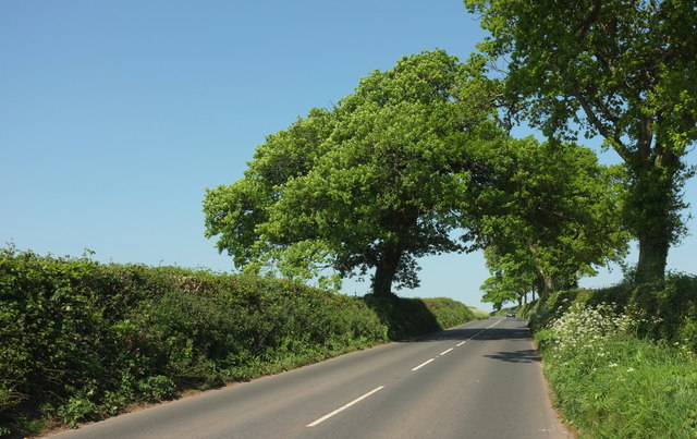
The woodland of Swanstone Plantation is dominated by a variety of majestic trees, including oak, beech, and pine. These towering trees create a serene and tranquil atmosphere, making it an ideal destination for those seeking solace in nature. The forest floor is covered with a lush carpet of ferns and wildflowers, adding to the enchanting ambiance.
The plantation is also home to a diverse range of wildlife. Visitors may spot various species of birds, such as woodpeckers, owls, and songbirds, as they flit between the branches. Squirrels and rabbits can be seen scurrying through the undergrowth, while deer occasionally graze in the open clearings.
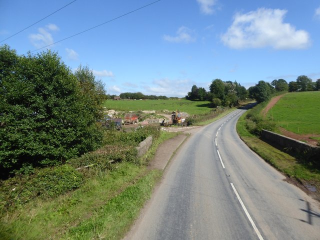
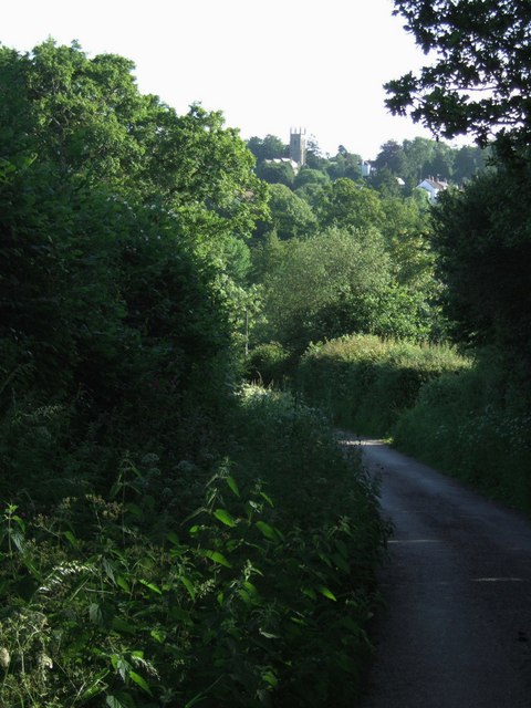
To cater to visitors, Swanstone Plantation offers well-maintained walking trails that wind through the forest. These trails provide an opportunity for visitors to explore the plantation's natural wonders at their own pace. Additionally, the plantation has designated picnic areas where visitors can relax and enjoy a meal amidst the scenic surroundings.
Swanstone Plantation is open to the public throughout the year, and there is no entry fee. It is advisable to wear appropriate footwear and carry a map while visiting, as the woodland can be quite extensive and easy to get lost in. Whether one is looking for a peaceful walk, a chance to observe wildlife, or simply a break from the hustle and bustle of daily life, Swanstone Plantation offers a truly rejuvenating experience.
If you have any feedback on the listing, please let us know in the comments section below.
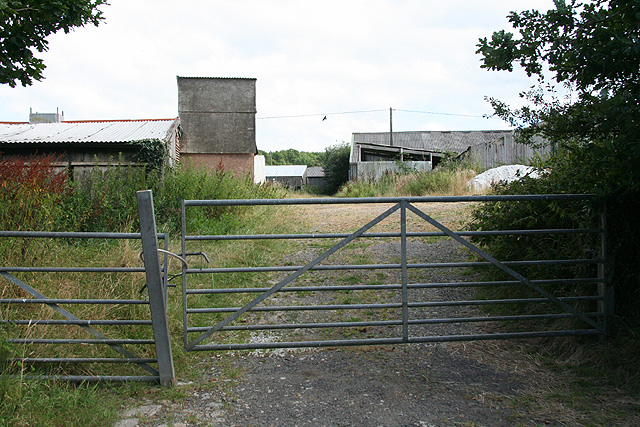
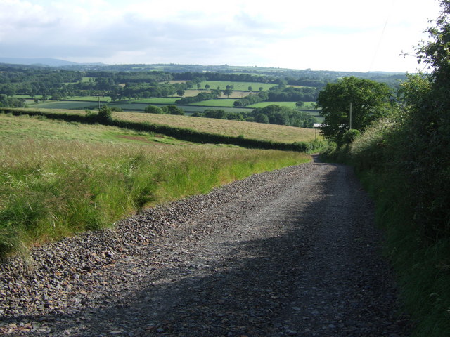
Swanstone Plantation Images
Images are sourced within 2km of 50.787912/-3.9715663 or Grid Reference SS6100. Thanks to Geograph Open Source API. All images are credited.
Swanstone Plantation is located at Grid Ref: SS6100 (Lat: 50.787912, Lng: -3.9715663)
Administrative County: Devon
District: West Devon
Police Authority: Devon and Cornwall
What 3 Words
///mango.sculpting.corrosive. Near North Tawton, Devon
Nearby Locations
Related Wikis

Exbourne
Exbourne is a village and civil parish in the English county of Devon. The Anglo-Saxon origin of the name is gæces burn - Cuckoo Stream. It occupies a...

Sampford Courtenay
Sampford Courtenay is a village and civil parish in West Devon in England, most famous for being the place where the Western Rebellion, otherwise known...
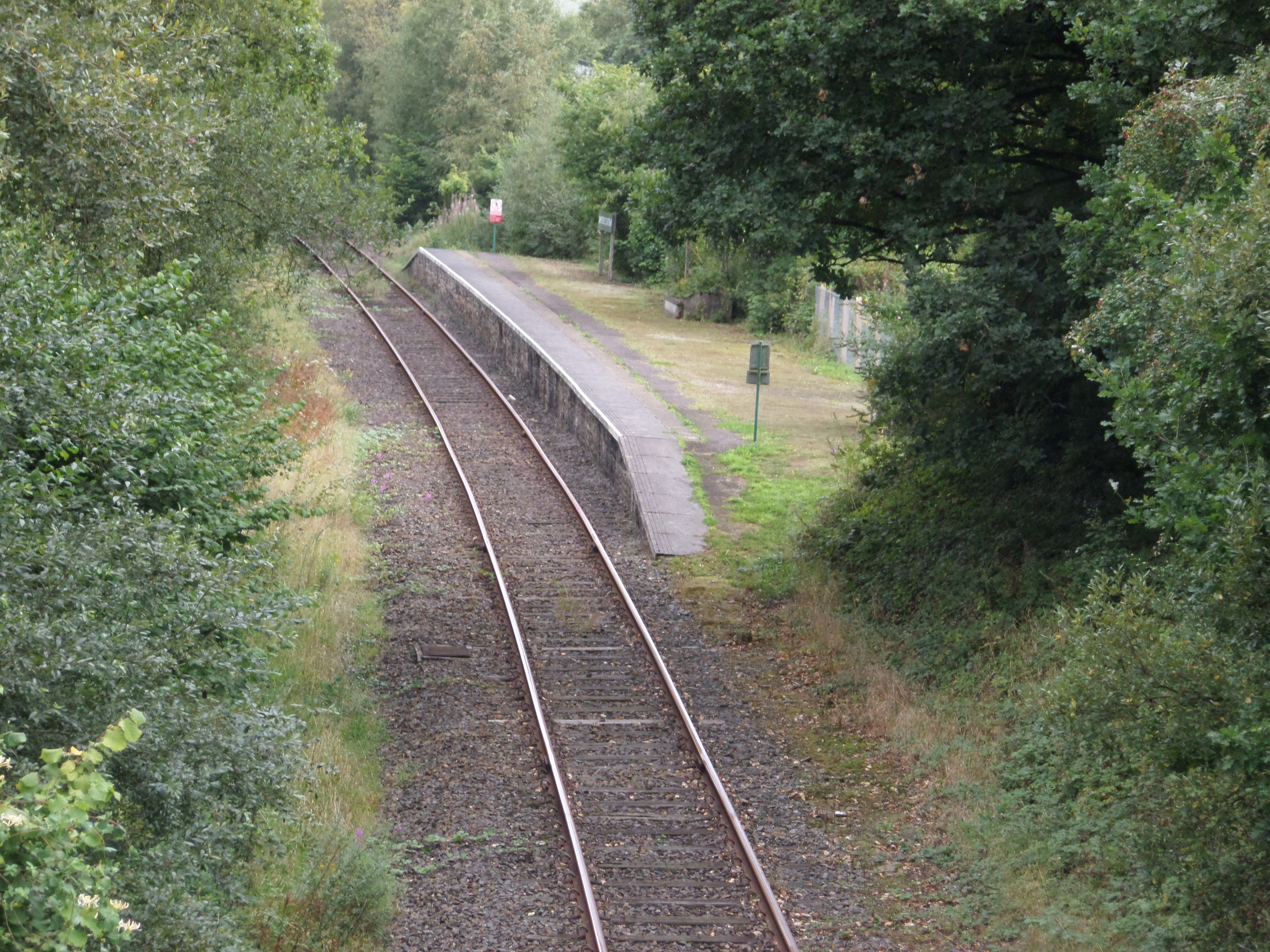
Sampford Courtenay railway station
Sampford Courtenay railway station is a disused railway station at Belstone Corner, which used to serve the nearby (1.6 miles) village of Sampford Courtenay...

Jacobstowe
Jacobstowe is a village and civil parish on the west bank of the River Okement, about 4 miles (6.4 km) north of Okehampton in the West Devon district of...

Battle of Sampford Courtenay
The Battle of Sampford Courtenay was one of the chief military engagements in the Western Rebellion of 1549. == Preparations == By mid August 1549, Humphrey...

Honeychurch, Devon
Honeychurch is a village and former civil parish now in the parish of Sampford Courtenay, in the West Devon district of the English county of Devon. It...

Belstone Corner
Belstone Corner is a hamlet in West Devon in the English county of Devon, part of the civil parish of Sampford Courtenay. The Sampford Courtenay railway...

Brightley Priory
Brightley Priory was founded in 1133 as a Cistercian monastery. It was built in 1136 and was situated about two miles north of Okehampton in Devon and...
Have you been to Swanstone Plantation?
Leave your review of Swanstone Plantation below (or comments, questions and feedback).