Swanstone Moor
Downs, Moorland in Devon West Devon
England
Swanstone Moor
Swanstone Moor is a picturesque area located in Devon, England. Nestled between the rolling hills and stunning coastline, it is renowned for its remarkable landscape, comprising of both Downs and Moorland.
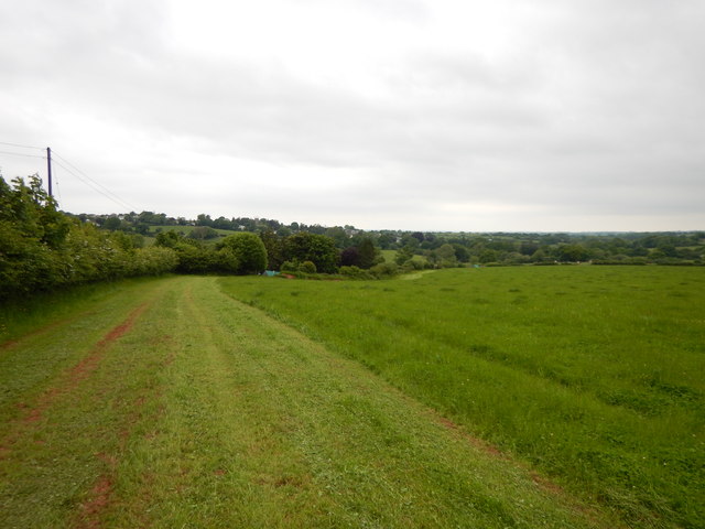
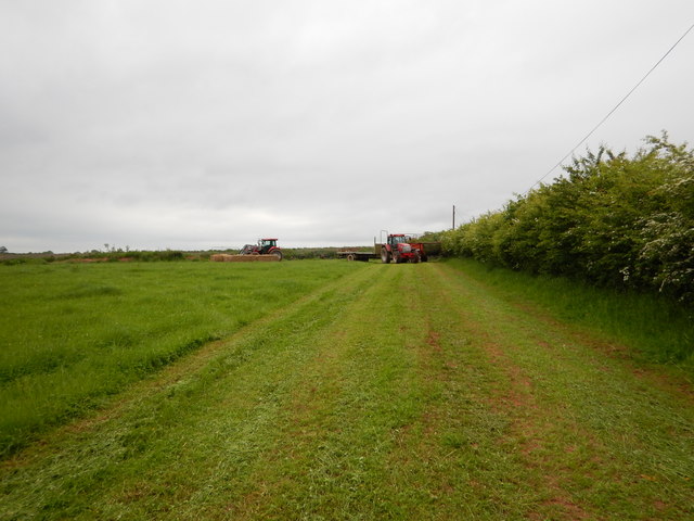
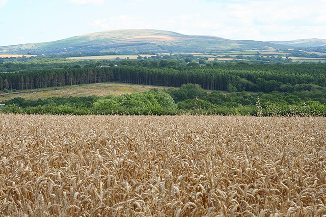
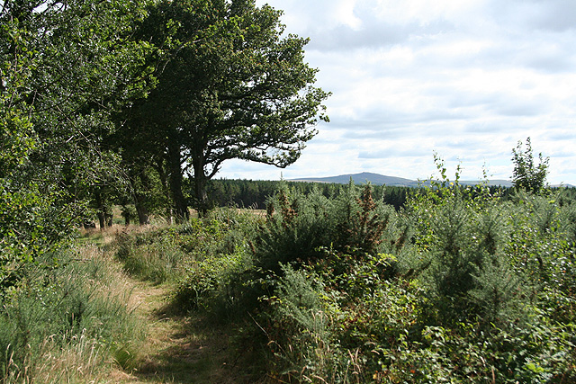
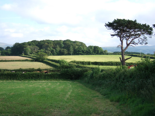
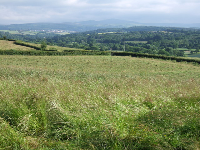
Covering an expansive area of approximately 10 square miles, Swanstone Moor captivates visitors with its natural beauty and serene atmosphere. The moorland is characterized by its vast stretches of open grasslands, heather-covered hills, and scattered bogs. This diverse terrain is home to a variety of flora and fauna, making it a haven for nature enthusiasts and bird watchers.
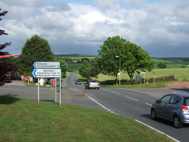
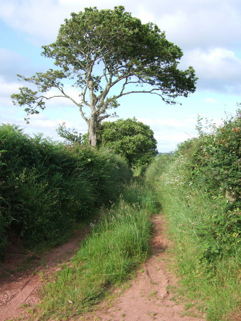
The moorland is crisscrossed by numerous walking trails, allowing visitors to explore its breathtaking scenery. One of the most popular trails is the Swanstone Loop, a circular route that offers stunning views of the surrounding countryside. Along the way, hikers can spot an array of wildlife, including Dartford warblers, wild ponies, and even the occasional red deer.
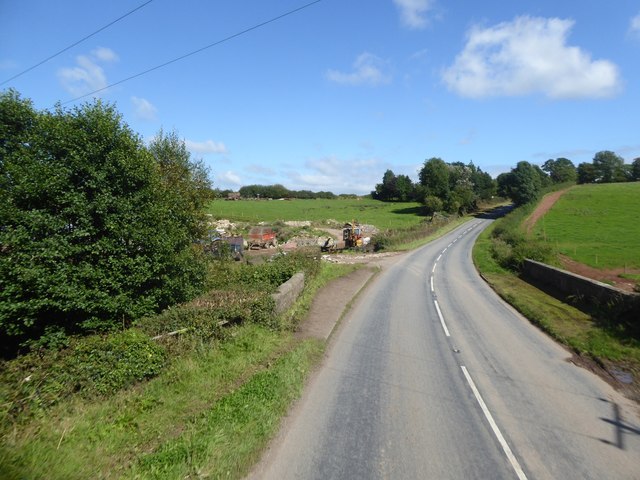
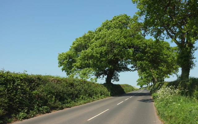
The Downs of Swanstone Moor provide a stark contrast to the moorland, with their gently rolling hills and fertile farmland. These fertile slopes are dotted with charming villages and country estates, adding to the area's charm. The Downs are known for their rich agricultural heritage, with sheep farming and dairy production being prominent industries.
Swanstone Moor is not only a haven for nature lovers but also a place of great historical significance. The area is dotted with ancient monuments, such as burial mounds and stone circles, which serve as a testament to its long-standing human habitation.
Overall, Swanstone Moor is a truly remarkable destination, offering a blend of natural beauty, cultural heritage, and outdoor activities for visitors to enjoy.
If you have any feedback on the listing, please let us know in the comments section below.
Swanstone Moor Images
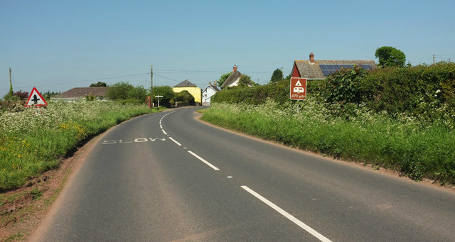
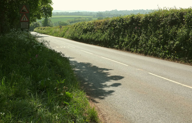
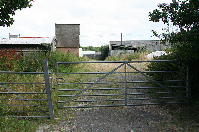
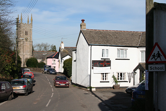
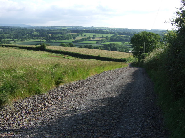
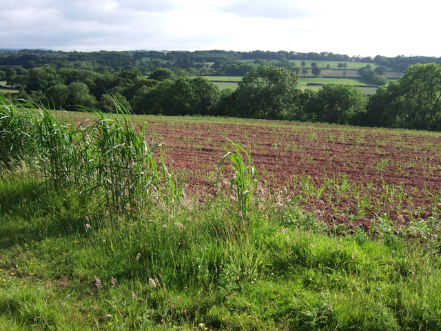
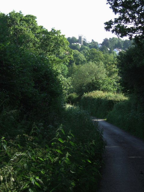
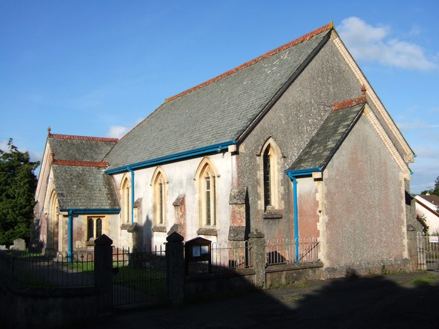
Images are sourced within 2km of 50.78812/-3.9725115 or Grid Reference SS6100. Thanks to Geograph Open Source API. All images are credited.
Swanstone Moor is located at Grid Ref: SS6100 (Lat: 50.78812, Lng: -3.9725115)
Administrative County: Devon
District: West Devon
Police Authority: Devon and Cornwall
What 3 Words
///affair.expressed.groomed. Near North Tawton, Devon
Nearby Locations
Related Wikis

Exbourne
Exbourne is a village and civil parish in the English county of Devon. The Anglo-Saxon origin of the name is gæces burn - Cuckoo Stream. It occupies a...

Sampford Courtenay
Sampford Courtenay is a village and civil parish in West Devon in England, most famous for being the place where the Western Rebellion, otherwise known...

Jacobstowe
Jacobstowe is a village and civil parish on the west bank of the River Okement, about 4 miles (6.4 km) north of Okehampton in the West Devon district of...
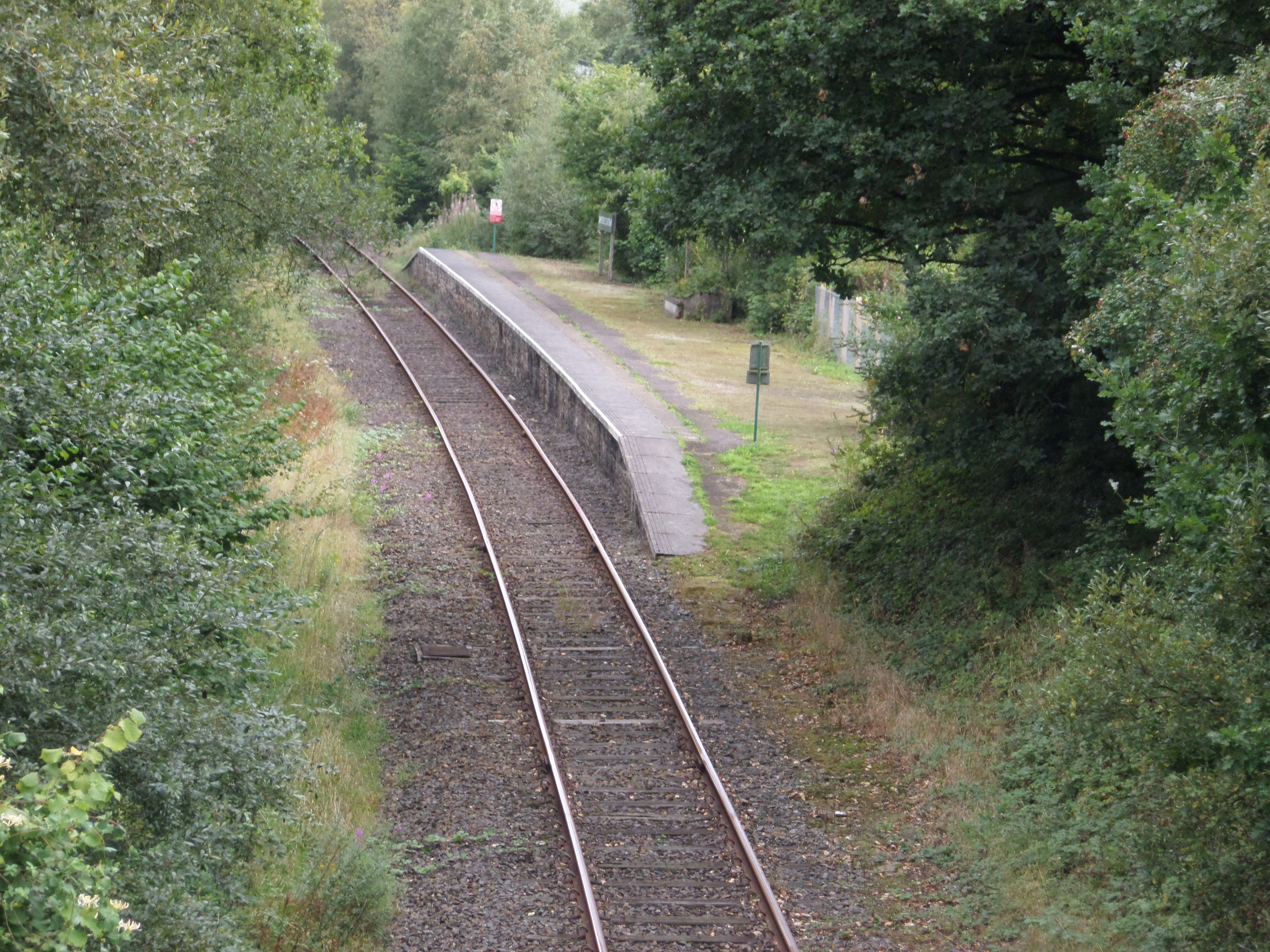
Sampford Courtenay railway station
Sampford Courtenay railway station is a disused railway station at Belstone Corner, which used to serve the nearby (1.6 miles) village of Sampford Courtenay...
Have you been to Swanstone Moor?
Leave your review of Swanstone Moor below (or comments, questions and feedback).