Great Youldon Moor

Downs, Moorland in Devon West Devon

England

Great Youldon Moor

View towards Exbourne from Public Footpath
View towards Exbourne from Public Footpath Credit: James Emmans

The requested URL returned error: 429 Too Many Requests

If you have any feedback on the listing, please let us know in the comments section below.

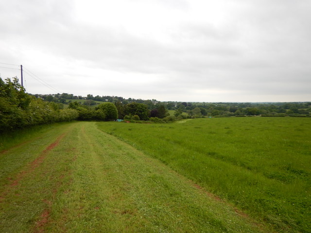
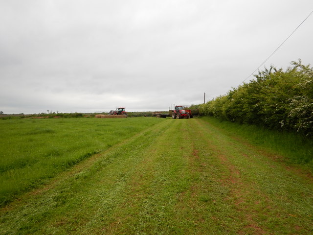
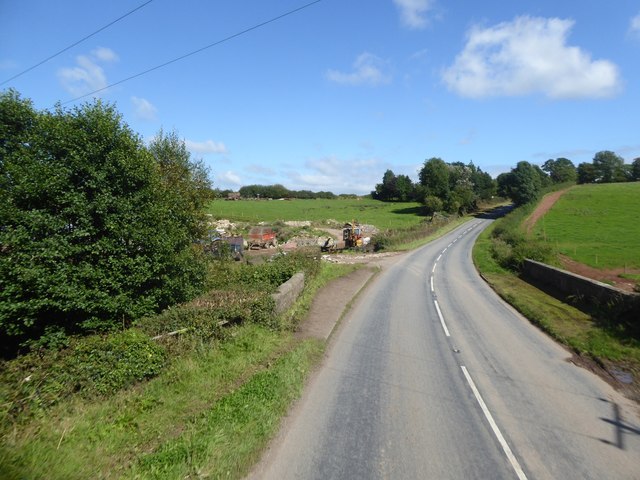
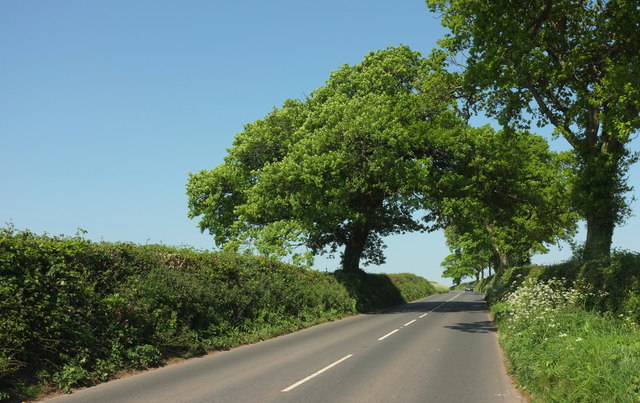
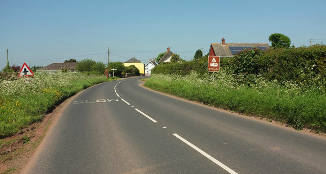
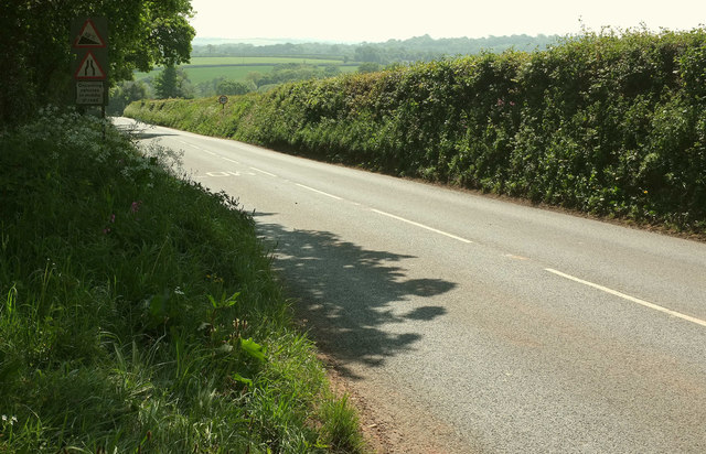
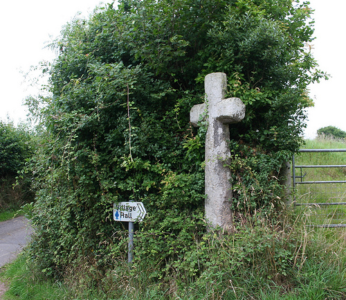
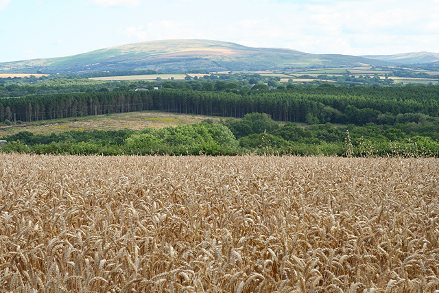
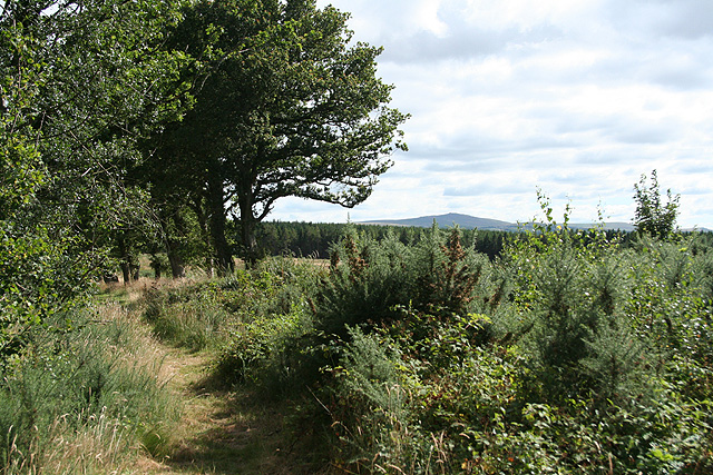
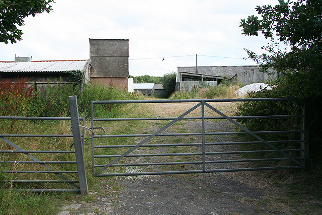
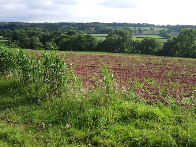
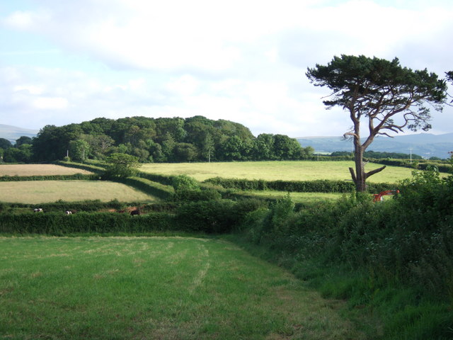
Great Youldon Moor Images

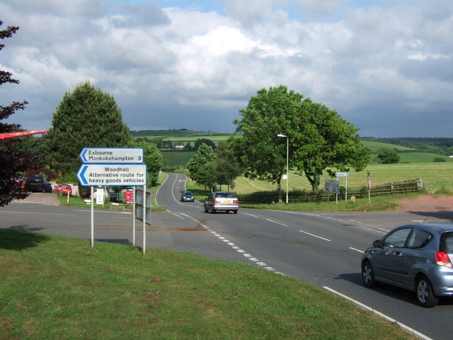
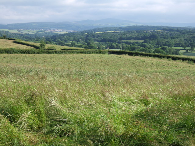
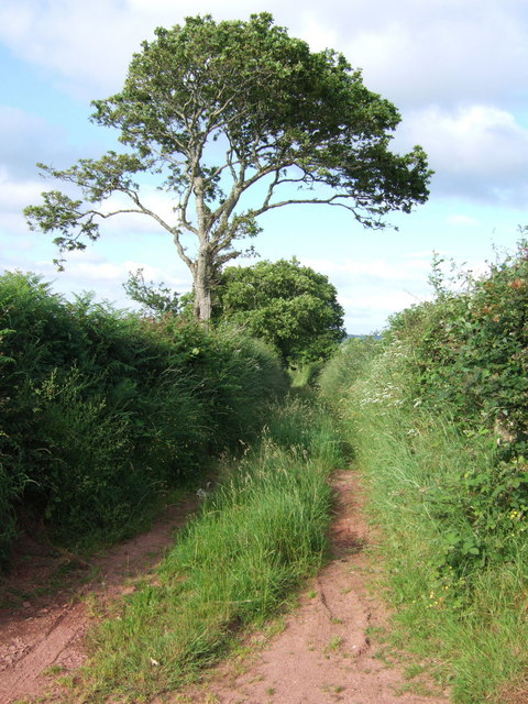
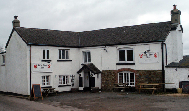
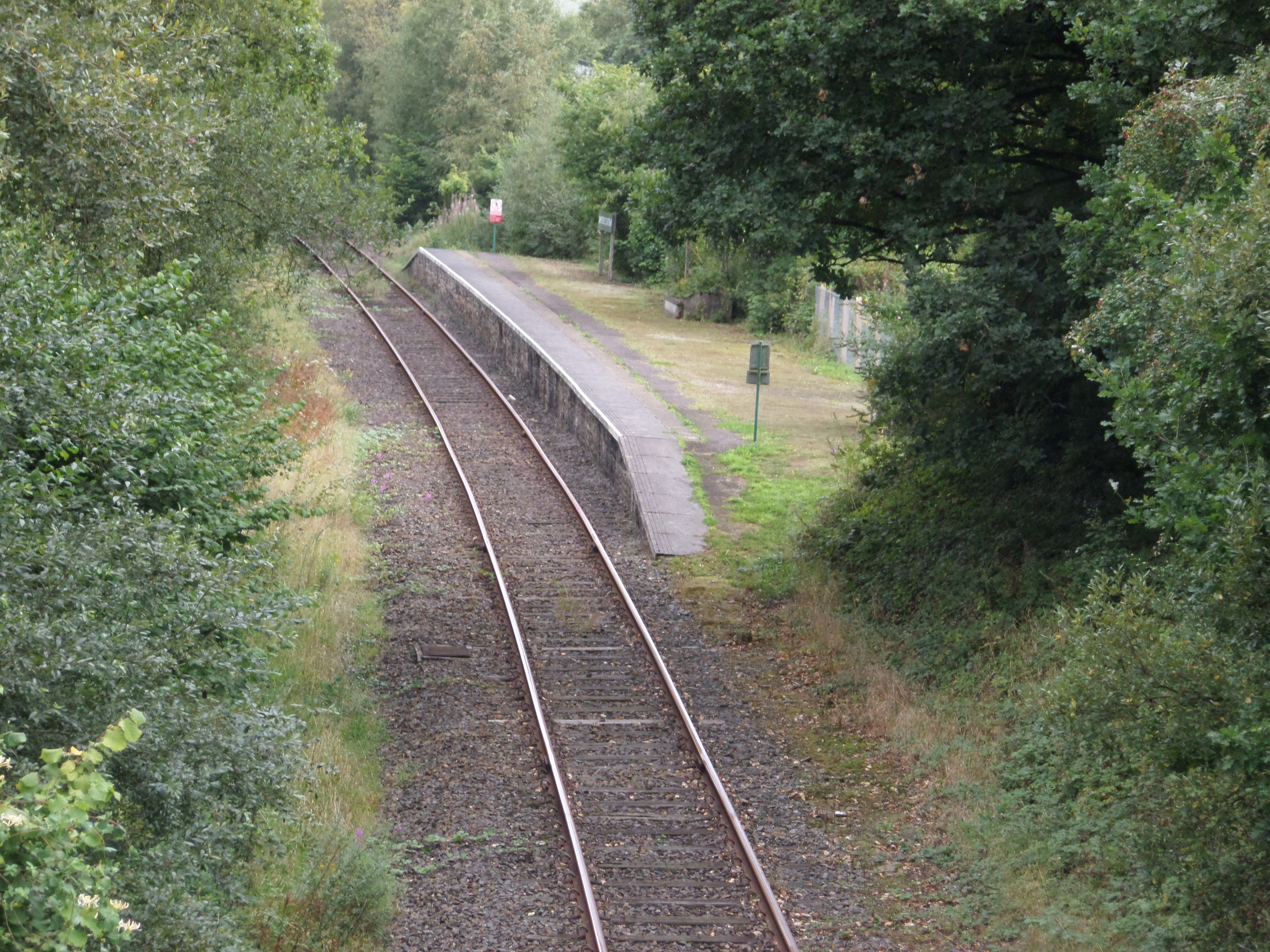
Images are sourced within 2km of 50.784449/-3.9672922 or Grid Reference SS6100. Thanks to Geograph Open Source API. All images are credited.

View towards Exbourne from Public Footpath
Farm Tractors working in Field close to Hole Cottage
Construction work by Holebrook Bridge Work by the farm buildings on the edge of the stream
Construction work by Holebrook Bridge
Work by the farm buildings on the edge of the stream
A3072 near Sampford Chapple Climbing from Sampford Courtenay, with resplendent roadside oaks.
A3072 near Sampford Chapple
Climbing from Sampford Courtenay, with resplendent roadside oaks.
Sampford Chapple The A374 approaching the hamlet. The thatched cottage with a gable end in the centre is part of a listed pair <span class="nowrap"><a title="https://www.historicengland.org.uk/listing/the-list/list-entry/1326462" rel="nofollow ugc noopener" href="https://www.historicengland.org.uk/listing/the-list/list-entry/1326462">Link</a><img style="margin-left:2px;" alt="External link" title="External link - shift click to open in new window" src="https://s1.geograph.org.uk/img/external.png" width="10" height="10"/></span> .
Sampford Chapple
The A374 approaching the hamlet. The thatched cottage with a gable end in the centre is part of a listed pair LinkExternal link .
A3072 near Sampford Chapple Looking in the other direction along the main road shown in <a href="https://www.geograph.org.uk/photo/5784348">SS6200 : A3072 near Sampford Chapple</a>.
A3072 near Sampford Chapple
Looking in the other direction along the main road shown in SS6200 : A3072 near Sampford Chapple.
Old Wayside Cross by Southey Lane, Sampford Courtenay Parish Southey Lane Cross, old head, shaft and base, by the UC road, in parish of Sampford Courtenay (West Devon District), Y-junction at the North end of Southey Lane with road from Sampford Cross, on a well kept triangle of grass, in a small flower bed.

Grade II listed. List Entry Number: 1146956
<span class="nowrap"><a title="https://historicengland.org.uk/listing/the-list/list-entry/1146956" rel="nofollow ugc noopener" href="https://historicengland.org.uk/listing/the-list/list-entry/1146956">Link</a><img style="margin-left:2px;" alt="External link" title="External link - shift click to open in new window" src="https://s1.geograph.org.uk/img/external.png" width="10" height="10"/></span>
Scheduled Monument. List Entry Number: 1013735
<span class="nowrap"><a title="https://historicengland.org.uk/listing/the-list/list-entry/1013735" rel="nofollow ugc noopener" href="https://historicengland.org.uk/listing/the-list/list-entry/1013735">Link</a><img style="margin-left:2px;" alt="External link" title="External link - shift click to open in new window" src="https://s1.geograph.org.uk/img/external.png" width="10" height="10"/></span>

Surveyed

Milestone Society National ID: DVWD_SCO01
Old Wayside Cross by Southey Lane, Sampford Courtenay Parish
Southey Lane Cross, old head, shaft and base, by the UC road, in parish of Sampford Courtenay (West Devon District), Y-junction at the North end of Southey Lane with road from Sampford Cross, on a well kept triangle of grass, in a small flower bed. Grade II listed. List Entry Number: 1146956 LinkExternal link Scheduled Monument. List Entry Number: 1013735 LinkExternal link Surveyed Milestone Society National ID: DVWD_SCO01
Old Wayside Cross by Chapple Lane, Sampford Courtenay parish Bulland Cross, old head, shaft and base by the UC road, in parish of Sampford Courtenay (West Devon District), Chapple Lane at Bulland Cross, beside Bulland Lane leading to the Village Hall, in the hedge bank where four lanes meet.

Scheduled Monument.
List Entry Number: 1013738 <span class="nowrap"><a title="https://historicengland.org.uk/listing/the-list/list-entry/1013738" rel="nofollow ugc noopener" href="https://historicengland.org.uk/listing/the-list/list-entry/1013738">Link</a><img style="margin-left:2px;" alt="External link" title="External link - shift click to open in new window" src="https://s1.geograph.org.uk/img/external.png" width="10" height="10"/></span>

Surveyed

Milestone Society National ID: DVWD_SCO04
Old Wayside Cross by Chapple Lane, Sampford Courtenay parish
Bulland Cross, old head, shaft and base by the UC road, in parish of Sampford Courtenay (West Devon District), Chapple Lane at Bulland Cross, beside Bulland Lane leading to the Village Hall, in the hedge bank where four lanes meet. Scheduled Monument. List Entry Number: 1013738 LinkExternal link Surveyed Milestone Society National ID: DVWD_SCO04
Sampford Courtenay: towards Dartmoor Looking south over a wheat field near Thornbury Cross. View to Cosdon Hill on Dartmoor
Sampford Courtenay: towards Dartmoor
Looking south over a wheat field near Thornbury Cross. View to Cosdon Hill on Dartmoor
Sampford Courtenay: on Chapple Moor Looking south on a public footpath by a plantation with a Dartmoor tor on the skyline
Sampford Courtenay: on Chapple Moor
Looking south on a public footpath by a plantation with a Dartmoor tor on the skyline
Sampford Courtenay: poultry farm On Underdown Moor, looking south east
Sampford Courtenay: poultry farm
On Underdown Moor, looking south east
Okement valley at Shilstone A view across a spring crop from Exbourne Footpath 4 as it approaches Shilstone.
Okement valley at Shilstone
A view across a spring crop from Exbourne Footpath 4 as it approaches Shilstone.
Shilstone Plantation Looking alongside the B3217 from the entrance to Swanstone. The road (really just a lane) is running along a low ridge between the River Okement and the Hole Brook, and it runs along the left edge of the Plantation.
Shilstone Plantation
Looking alongside the B3217 from the entrance to Swanstone. The road (really just a lane) is running along a low ridge between the River Okement and the Hole Brook, and it runs along the left edge of the Plantation.
Rush hour in Exbourne Traffic on the A3072 from Hatherleigh to Crediton passes Exbourne Cross on the south edge of the village. Down the road can be seen Hole Farm, a yard or two into <a href="https://www.geograph.org.uk/gridref/SS6101">SS6101</a>.
Rush hour in Exbourne
Traffic on the A3072 from Hatherleigh to Crediton passes Exbourne Cross on the south edge of the village. Down the road can be seen Hole Farm, a yard or two into SS6101.
Field beside Exbourne Footpath 4 A field of grass alongside the track to Buskin Farm. The footpath emerges from the farmyard and follows the hedge through the gate. In the distance, across the Okement valley, are Abbeyford Woods and Dartmoor, with the suburbs of Okehampton visible.
Field beside Exbourne Footpath 4
A field of grass alongside the track to Buskin Farm. The footpath emerges from the farmyard and follows the hedge through the gate. In the distance, across the Okement valley, are Abbeyford Woods and Dartmoor, with the suburbs of Okehampton visible.
Track off B3217 A field access track that only goes 200 metres sets off invitingly from the B road half a kilometre south of Exbourne.
Track off B3217
A field access track that only goes 200 metres sets off invitingly from the B road half a kilometre south of Exbourne.
View north of Solland Cross The wide-open landscape of Mid-Devon between Exbourne and Sampford Chapple.
View north of Solland Cross
The wide-open landscape of Mid-Devon between Exbourne and Sampford Chapple.
Red Lion Inn, Exbourne
Show me another place!

Great Youldon Moor is located at Grid Ref: SS6100 (Lat: 50.784449, Lng: -3.9672922)

Administrative County: Devon

District: West Devon

Police Authority: Devon and Cornwall

What 3 Words

///vegetable.gives.dogs. Near North Tawton, Devon

Related Wikis

Sampford Courtenay

Sampford Courtenay is a village and civil parish in West Devon in England, most famous for being the place where the Western Rebellion, otherwise known...

Exbourne

Exbourne is a village and civil parish in the English county of Devon. The Anglo-Saxon origin of the name is gæces burn - Cuckoo Stream. It occupies a...

Sampford Courtenay railway station

Sampford Courtenay railway station is a disused railway station at Belstone Corner, which used to serve the nearby (1.6 miles) village of Sampford Courtenay...

Battle of Sampford Courtenay

The Battle of Sampford Courtenay was one of the chief military engagements in the Western Rebellion of 1549. == Preparations == By mid August 1549, Humphrey...

Nearby Amenities

Located within 500m of 50.784449,-3.9672922
The data included in this document is from www.openstreetmap.org. The data is made available under ODbL.

Have you been to Great Youldon Moor?

Leave your review of Great Youldon Moor below (or comments, questions and feedback).