South Arrish Wood
Wood, Forest in Devon North Devon
England
South Arrish Wood
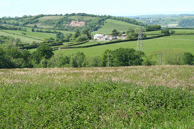
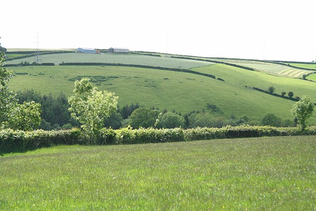
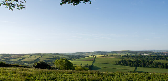
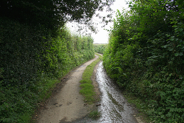
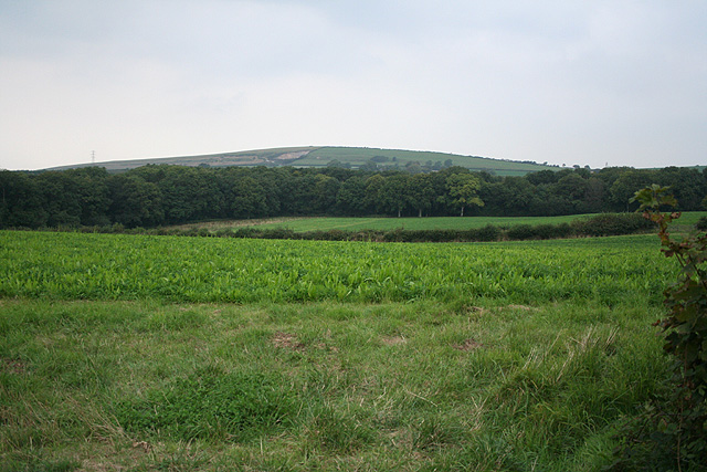
South Arrish Wood is a picturesque forest situated in the county of Devon, England. This enchanting woodland covers an area of approximately 500 acres and is a popular destination for nature enthusiasts and hikers alike.
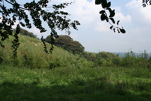
The forest is known for its diverse range of tree species, including oak, beech, birch, and conifers. This creates a stunning tapestry of colors throughout the year, with vibrant greens in the spring and summer, and warm hues of orange and gold in the autumn.
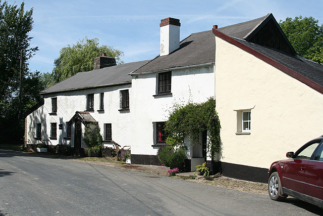
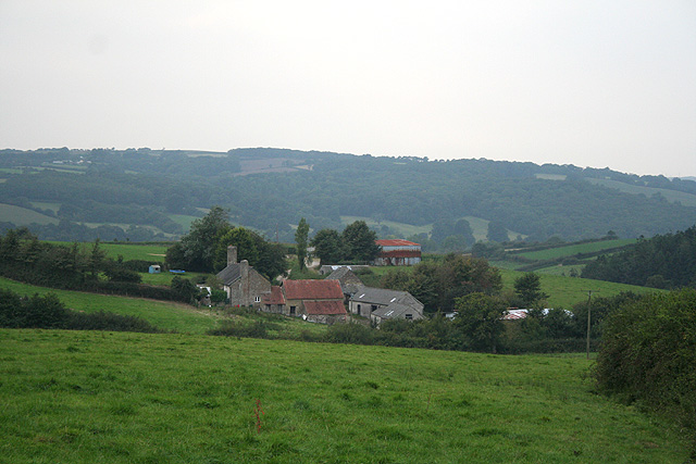
Tranquility and serenity are abundant in South Arrish Wood, making it an ideal spot for those seeking solace in nature. The peaceful atmosphere is enhanced by the absence of major roads or developments nearby, allowing visitors to fully immerse themselves in the beauty of the forest.
The wood is home to a rich variety of wildlife, including deer, badgers, foxes, and numerous bird species. Birdwatchers will delight in the opportunity to spot woodpeckers, owls, and various songbirds. Additionally, the forest floor is adorned with a colorful array of wildflowers, adding to the natural charm of the area.
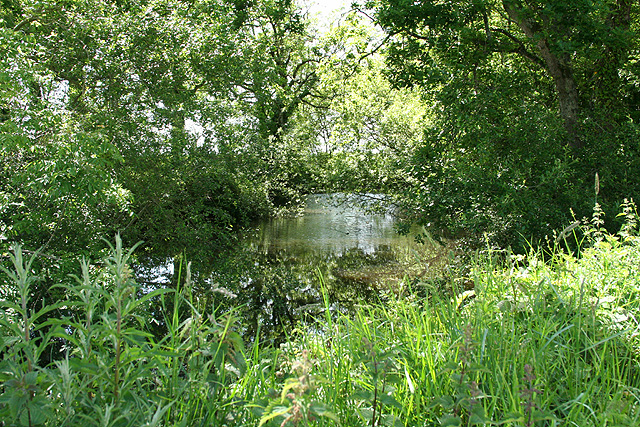
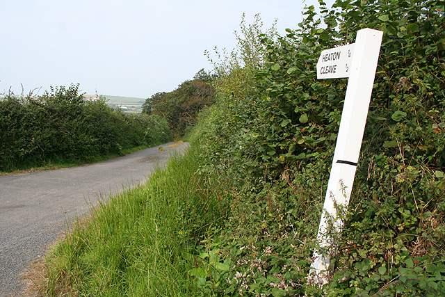
A network of well-maintained walking trails meanders through South Arrish Wood, offering visitors the chance to explore its hidden delights. These paths cater to all levels of fitness and provide access to different parts of the forest, including a tranquil pond and a small stream that gently flows through the heart of the woodland.
Overall, South Arrish Wood is a haven for nature lovers, providing a peaceful retreat from the hustle and bustle of everyday life. Its natural beauty, diverse wildlife, and well-marked trails make it a must-visit destination for those seeking a true connection with nature.
If you have any feedback on the listing, please let us know in the comments section below.
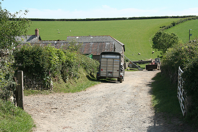
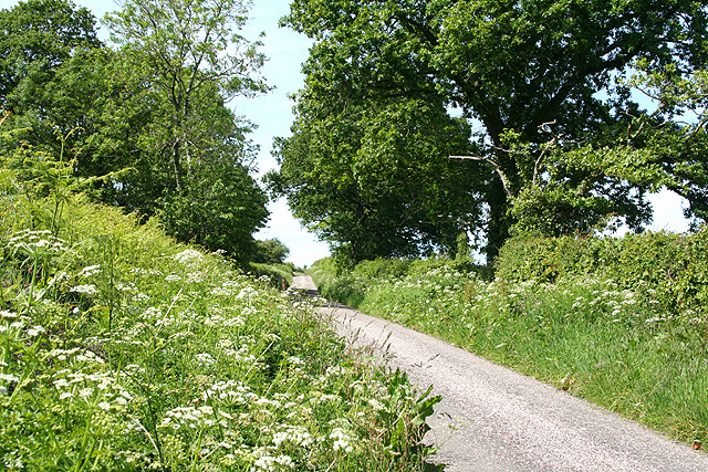
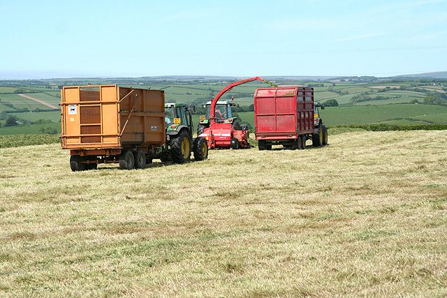
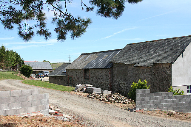
South Arrish Wood Images
Images are sourced within 2km of 51.034177/-3.9987191 or Grid Reference SS5927. Thanks to Geograph Open Source API. All images are credited.
South Arrish Wood is located at Grid Ref: SS5927 (Lat: 51.034177, Lng: -3.9987191)
Administrative County: Devon
District: North Devon
Police Authority: Devon and Cornwall
What 3 Words
///fists.couriers.rekindle. Near Barnstaple, Devon
Related Wikis

Hall, Bishop's Tawton
Hall is a large estate within the parish and former manor of Bishop's Tawton, Devon. It was for several centuries the seat of a younger branch of the prominent...

Chapelton railway station
Chapelton railway station serves the hamlet of Chapelton, part of the civil parish of Tawstock in the English county of Devon. It is a rural station on...

Hawkridge, Chittlehampton
Hawkridge in the parish of Chittlehampton in North Devon, England, is an historic estate, anciently the seat of a junior branch of the Acland family which...

Swimbridge
Swimbridge (historical spelling: Swymbridge) is a village, parish and former manor in Devon, England. It is situated 4 miles (6.4 km) south-east of Barnstaple...
Related Videos

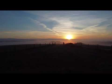
Codden Hill Sunrise
A photo-walk around Codden Hill in North Devon, UK.
Dawn of a new day
Early morning flight over codden hill best Barnstaple.
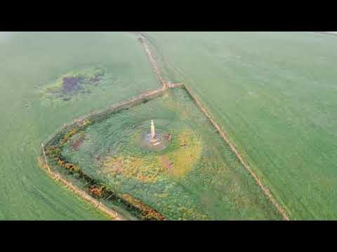
Drone 360
Stunning early morning view from the top of codden hill.

Running, it’s not the time you have, it’s what you do with it #run #outdoors #devon
Take that time to stop and be in the moment. Absorb your surroundings and feed off them. The joy of being active outdoors, ...
Have you been to South Arrish Wood?
Leave your review of South Arrish Wood below (or comments, questions and feedback).