Goss's Plantation

Wood, Forest in Devon North Devon

England

Goss's Plantation

Swimbridge: the Old Traveller’s Rest Former inn on a road linking Chittlehampton and Barnstaple. Looking north-north-west
Swimbridge: the Old Traveller’s Rest Credit: Martin Bodman

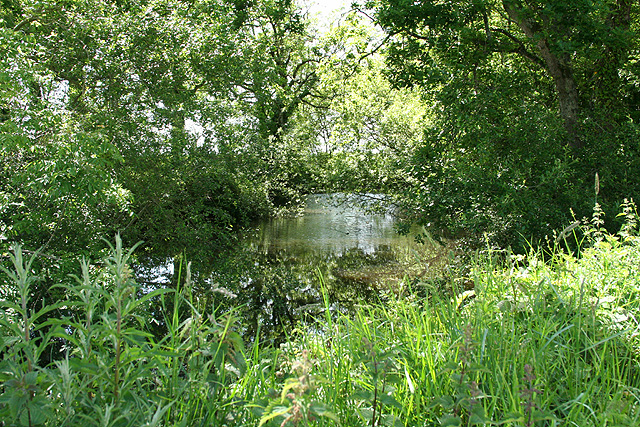
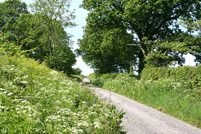
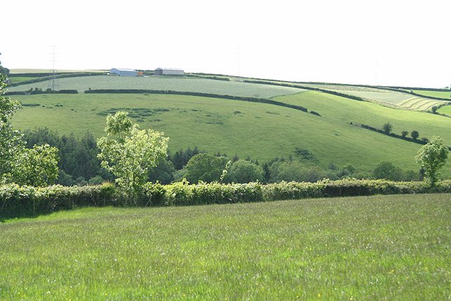
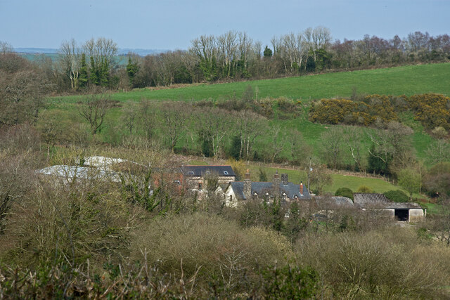
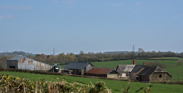
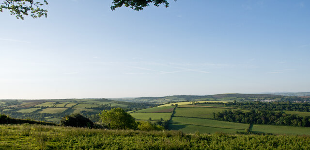
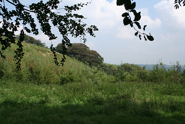
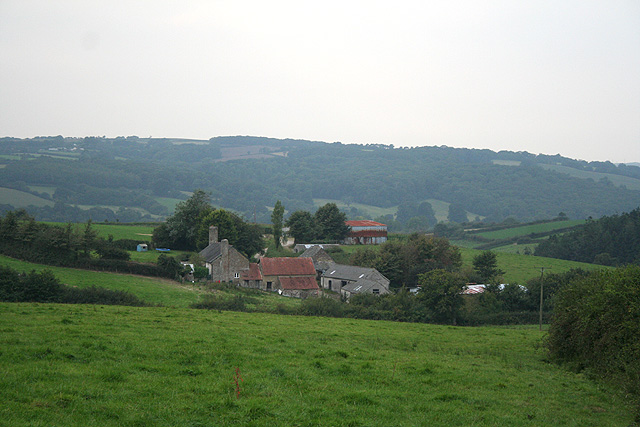
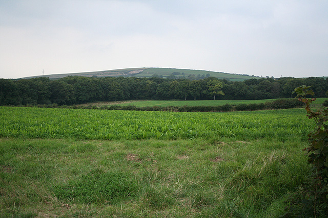
Goss's Plantation is a picturesque woodland area located in Devon, England. Nestled within the scenic countryside, it covers a sprawling area of land and is known for its dense forest and diverse plant life.

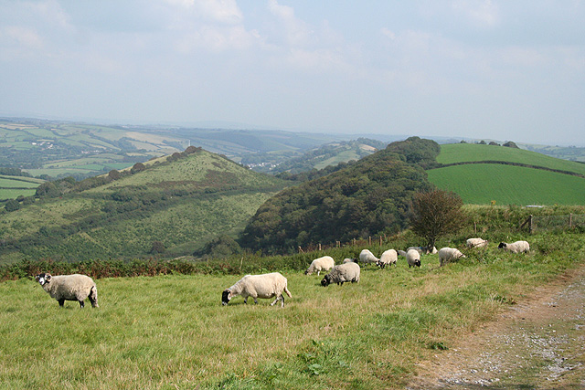
The plantation is renowned for its well-preserved woodlands, which consist of both native and non-native tree species. The dominant trees in the area include oak, beech, and birch, creating a rich and vibrant ecosystem. The dense canopy provides a habitat for a variety of wildlife, including birds, mammals, and insects.

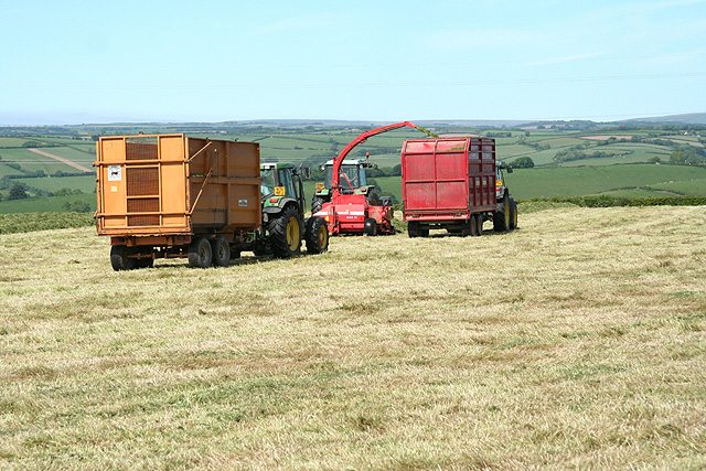
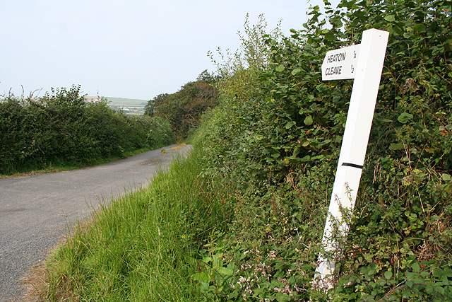
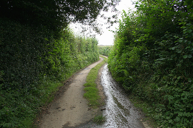
Visitors to Goss's Plantation can enjoy a range of activities, such as walking, hiking, and nature photography. The plantation features well-maintained trails that wind through the forest, allowing visitors to explore the natural beauty at their own pace. The tranquil atmosphere and breathtaking scenery make it an ideal location for nature enthusiasts and those seeking a peaceful retreat.

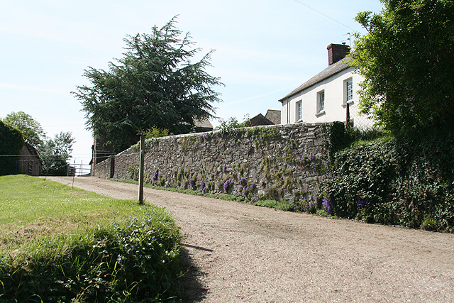
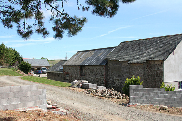
In addition to its natural beauty, Goss's Plantation also has historical significance. It is believed to have been established several centuries ago, and remnants of past human activity, such as old stone walls and abandoned structures, can still be found within the woodland. These traces of history add an intriguing element to the overall experience of visiting the plantation.

Overall, Goss's Plantation in Devon offers a captivating blend of natural beauty and historical charm. Whether one seeks a peaceful stroll through the woods or a deeper connection to the region's past, this woodland area is sure to captivate visitors with its timeless allure.

If you have any feedback on the listing, please let us know in the comments section below.

Goss's Plantation Images

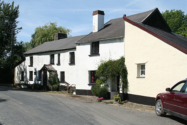
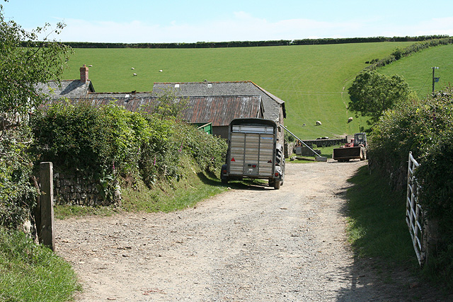
Images are sourced within 2km of 51.033242/-4.0033857 or Grid Reference SS5927. Thanks to Geograph Open Source API. All images are credited.

Swimbridge: the Old Traveller’s Rest Former inn on a road linking Chittlehampton and Barnstaple. Looking north-north-west
Swimbridge: the Old Traveller’s Rest
Former inn on a road linking Chittlehampton and Barnstaple. Looking north-north-west
Swimbridge: pond Looking west across the road from the Old Traveller’s Rest
Swimbridge: pond
Looking west across the road from the Old Traveller’s Rest
Swimbridge: entrance to Chuggaton Farm Looking west
Swimbridge: entrance to Chuggaton Farm
Looking west
Bishop’s Tawton: entrance to Shilstone Farm Looking south
Bishop’s Tawton: entrance to Shilstone Farm
Looking south
Bishop’s Tawton: lane to Bickell Cross Looking north
Bishop’s Tawton: lane to Bickell Cross
Looking north
Swimbridge: grass harvest Gathering mown grass for silage at Bickle Farm
Swimbridge: grass harvest
Gathering mown grass for silage at Bickle Farm
Swimbridge: Higher Wrimstone Converting old barns for housing. Looking south-south-east
Swimbridge: Higher Wrimstone
Converting old barns for housing. Looking south-south-east
Swimbridge: near Wrimstone Looking west across a valley to fields near Bickle
Swimbridge: near Wrimstone
Looking west across a valley to fields near Bickle
Higher Hearson Farm Farms and  farm buildings in the geographical area North Devon. (The administrative area governed by North Devon District Council covers a slightly different area.)
Higher Hearson Farm
Farms and farm buildings in the geographical area North Devon. (The administrative area governed by North Devon District Council covers a slightly different area.)
Shilstone Farm Farms and  farm buildings in the geographical area North Devon. (The administrative area governed by North Devon District Council covers a slightly different area.)
Shilstone Farm
Farms and farm buildings in the geographical area North Devon. (The administrative area governed by North Devon District Council covers a slightly different area.)
A view across North Devon towards the hills beyond Landkey & Swimbridge Houses on the periphery of Barnstaple can be seen on the far right of the image. The villages of Landkey and Swimbridge are hidden in valleys.
A view across North Devon towards the hills beyond Landkey & Swimbridge
Houses on the periphery of Barnstaple can be seen on the far right of the image. The villages of Landkey and Swimbridge are hidden in valleys.
Swimbridge: on Hangman’s Hill View towards a new plantation, seen from the lane from Higher Bobleigh to Hearson Cross
Swimbridge: on Hangman’s Hill
View towards a new plantation, seen from the lane from Higher Bobleigh to Hearson Cross
Bishop’s Tawton: toward’s Hangman’s Hill Seen from Codden Hill, Hangman’s Hill is the conical peak to the left, in the next square. The track to Codden Beacon – extreme right – is presently a permissive path for the public
Bishop’s Tawton: toward’s Hangman’s Hill
Seen from Codden Hill, Hangman’s Hill is the conical peak to the left, in the next square. The track to Codden Beacon – extreme right – is presently a permissive path for the public
Bishop’s Tawton: lane to Heaton Cleave is reachable but not on tarmac: it means driving through a gated farmyard at Heaton and then on by an unsurfaced track
Bishop’s Tawton: lane to Heaton
Cleave is reachable but not on tarmac: it means driving through a gated farmyard at Heaton and then on by an unsurfaced track
Bishop’s Tawton: Great Westacott Seen from the lane to Heanton with woods in Tawstock parish, the far side of the Taw valley, beyond
Bishop’s Tawton: Great Westacott
Seen from the lane to Heanton with woods in Tawstock parish, the far side of the Taw valley, beyond
Bishop’s Tawton: lane near Heaton Leading to Higher and Lower Woolstone
Bishop’s Tawton: lane near Heaton
Leading to Higher and Lower Woolstone
Bishop’s Tawton: towards Codden Hill Looking north-north-west
Bishop’s Tawton: towards Codden Hill
Looking north-north-west
Bishop’s Tawton: Little Halmpstone Converted cottages by a back lane
Bishop’s Tawton: Little Halmpstone
Converted cottages by a back lane
Show me another place!

Goss's Plantation is located at Grid Ref: SS5927 (Lat: 51.033242, Lng: -4.0033857)

Administrative County: Devon

District: North Devon

Police Authority: Devon and Cornwall

What 3 Words

///cabbage.mango.gazed. Near Barnstaple, Devon

Related Wikis

Hall, Bishop's Tawton

Hall is a large estate within the parish and former manor of Bishop's Tawton, Devon. It was for several centuries the seat of a younger branch of the prominent...

Chapelton railway station

Chapelton railway station serves the hamlet of Chapelton, part of the civil parish of Tawstock in the English county of Devon. It is a rural station on...

Hawkridge, Chittlehampton

Hawkridge in the parish of Chittlehampton in North Devon, England, is an historic estate, anciently the seat of a junior branch of the Acland family which...

Chapelton, Devon

Chapelton is a hamlet in Devon. It is located in the civil parish of Tawstock. The hamlet is served by the Chapelton railway station. == References ==

Nearby Amenities

Located within 500m of 51.033242,-4.0033857
Power: pole
Source: bing
Lat/Long: 51.0366083/-4.0075327
Power: pole
Source: bing
Lat/Long: 51.0362794/-4.008324
Power: pole
Source: bing
Lat/Long: 51.0369768/-4.006661
The data included in this document is from www.openstreetmap.org. The data is made available under ODbL.

Have you been to Goss's Plantation?

Leave your review of Goss's Plantation below (or comments, questions and feedback).