Woolley Belt

Wood, Forest in Devon North Devon

England

Woolley Belt

Loxhore: Loxhore Cott Looking west on Cott Hill with Cott Down Plantation on the skyline across the valley
Loxhore: Loxhore Cott Credit: Martin Bodman

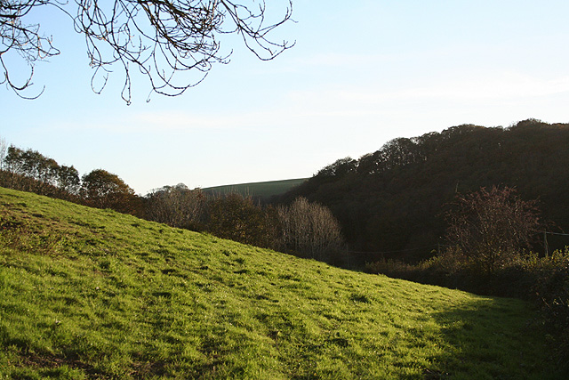
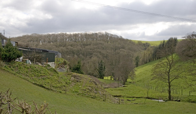
Woolley Belt, Devon, also known as Wood or Forest, is a picturesque area located in the southern region of England. With its lush greenery, rolling hills, and enchanting woodlands, it offers a serene and tranquil escape from the bustling city life.

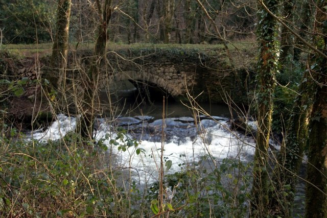
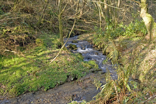
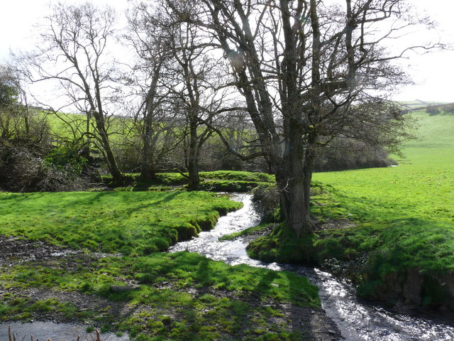
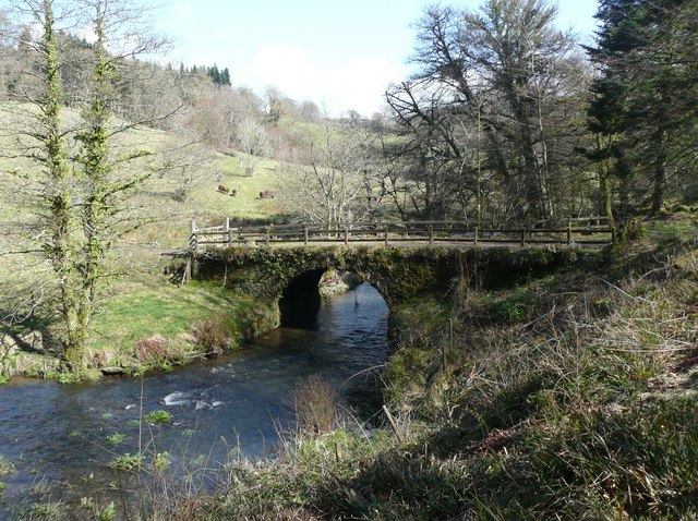
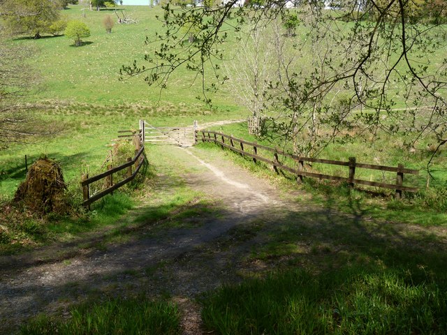
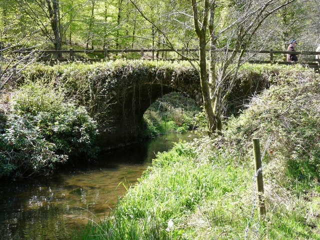
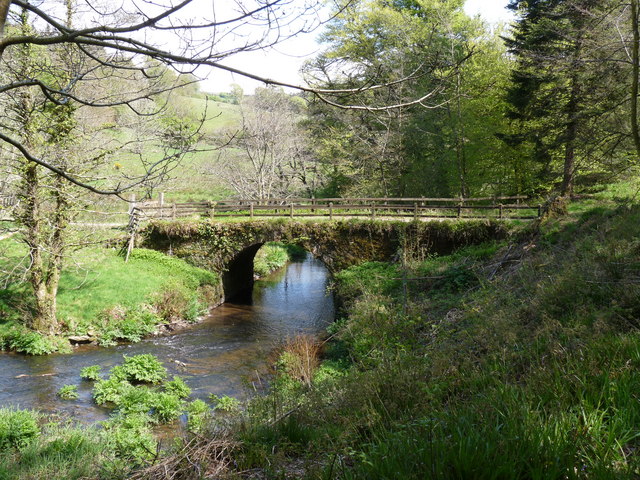
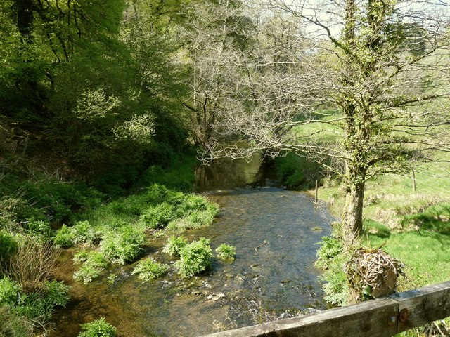
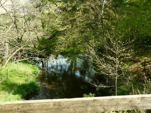
Covering an area of approximately 500 acres, Woolley Belt is known for its diverse range of flora and fauna. The forest is dominated by towering oak, beech, and birch trees, creating a dense canopy that filters the sunlight and creates a soothing atmosphere. The forest floor is covered in a carpet of moss, ferns, and wildflowers, adding to its natural beauty.

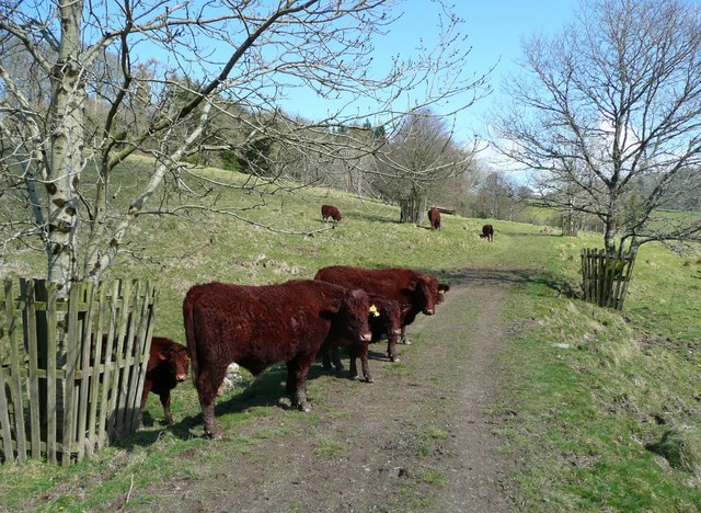
The forest is home to a variety of wildlife, including deer, foxes, badgers, and numerous species of birds. Birdwatchers can spot rare species such as woodpeckers, owls, and buzzards. The woodland also provides a habitat for smaller creatures like squirrels, rabbits, and hedgehogs.

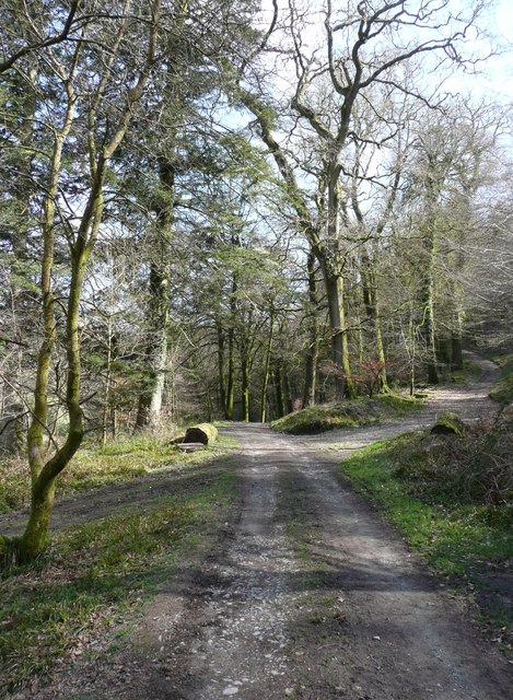
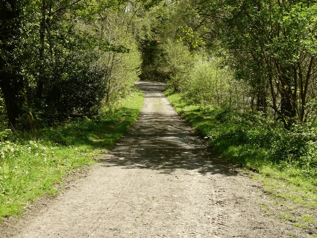
Woolley Belt offers a range of recreational activities for nature enthusiasts and adventure seekers alike. Hiking and walking trails crisscross the forest, allowing visitors to explore its hidden gems. Mountain biking and horseback riding are also popular activities for those seeking a more adventurous experience.

For those interested in history, Woolley Belt has a storied past. It was once part of a royal hunting ground and has remnants of ancient settlements, including burial mounds and stone circles, which add a sense of mystery and intrigue to the area.

In conclusion, Woolley Belt, Devon, is a captivating woodland retreat that offers a harmonious blend of natural beauty, wildlife, and recreational activities. It is a haven for those seeking solace in nature and a must-visit destination for anyone exploring the charming countryside of Devon.

If you have any feedback on the listing, please let us know in the comments section below.

Woolley Belt Images

Images are sourced within 2km of 51.137219/-4.0056688 or Grid Reference SS5939. Thanks to Geograph Open Source API. All images are credited.

Loxhore: Loxhore Cott Looking west on Cott Hill with Cott Down Plantation on the skyline across the valley
Loxhore: Loxhore Cott
Looking west on Cott Hill with Cott Down Plantation on the skyline across the valley
Loxhore: valley near Loxhore Cott Looking south. Nearby in the roadside is an old milestone with the inscription '6 Barnum', or in other words six miles to Barnstaple
Loxhore: valley near Loxhore Cott
Looking south. Nearby in the roadside is an old milestone with the inscription '6 Barnum', or in other words six miles to Barnstaple
Tucker's Bridge in the Arlington Court Estate
Ford Farm One of the R Yeo's head-water stream runs past the farm and through Shirwell Mills Wood.  Longtimber Wood is in the background.
Ford Farm
One of the R Yeo's head-water stream runs past the farm and through Shirwell Mills Wood. Longtimber Wood is in the background.
Bridleway, Arlington The National Trust has widened and planted this bridleway to create a future wooded walk on their Arlington Court Estate.
Bridleway, Arlington
The National Trust has widened and planted this bridleway to create a future wooded walk on their Arlington Court Estate.
Deerpark Wood, Arlington This stream eventually joins the river which issues from Arlington Lake.  The National Trust has created several bridleways on their estate and have opened up new areas to visitors.
Deerpark Wood, Arlington
This stream eventually joins the river which issues from Arlington Lake. The National Trust has created several bridleways on their estate and have opened up new areas to visitors.
Just outside Shirwell on the way to Lower Loxhore
Smallacombe Meadow Part of the estate at Arlington Court, seen from Arlington Footpath 1 just east of the bridge across River Yeo. Much of the view, including the trees left of centre, is in <a href="https://www.geograph.org.uk/gridref/SS6040">SS6040</a>.
Smallacombe Meadow
Part of the estate at Arlington Court, seen from Arlington Footpath 1 just east of the bridge across River Yeo. Much of the view, including the trees left of centre, is in SS6040.
Track junction, Arlington Estate These are access tracks in the Arlington estate. The one straight on is also a public footpath that goes eventually to Chirwell, whilst the one to the right zig-zags up the hillside to emerge onto the main road at a lodge.
Track junction, Arlington Estate
These are access tracks in the Arlington estate. The one straight on is also a public footpath that goes eventually to Chirwell, whilst the one to the right zig-zags up the hillside to emerge onto the main road at a lodge.
Bridge over the River Yeo, Arlington Part of the Arlington estate.
Bridge over the River Yeo, Arlington
Part of the Arlington estate.
Cattle on the track, Arlington Wary but well-behaved.
Cattle on the track, Arlington
Wary but well-behaved.
Smallcombe Bridge on the River Yeo This River Yeo is one of four in Devon with the same name (that I am aware of). It starts near Berry Down and feeds into the Taw estuary at Barnstaple.
Smallcombe Bridge on the River Yeo
This River Yeo is one of four in Devon with the same name (that I am aware of). It starts near Berry Down and feeds into the Taw estuary at Barnstaple.
Smallcombe Bridge on the River Yeo as seen from downstream This River Yeo is one of four in Devon with the same name (that I am aware of). It starts near Berry Down and feeds into the Taw estuary at Barnstaple.
Smallcombe Bridge on the River Yeo as seen from downstream
This River Yeo is one of four in Devon with the same name (that I am aware of). It starts near Berry Down and feeds into the Taw estuary at Barnstaple.
Smallcombe Bridge on the River Yeo as seen from upstream This River Yeo is one of four in Devon with the same name (that I am aware of). It starts near Berry Down and feeds into the Taw estuary at Barnstaple.
Smallcombe Bridge on the River Yeo as seen from upstream
This River Yeo is one of four in Devon with the same name (that I am aware of). It starts near Berry Down and feeds into the Taw estuary at Barnstaple.
The view upstream from Smallcombe Bridge on the River Yeo This River Yeo is one of four in Devon with the same name (that I am aware of). It starts near Berry Down and feeds into the Taw estuary at Barnstaple.
The view upstream from Smallcombe Bridge on the River Yeo
This River Yeo is one of four in Devon with the same name (that I am aware of). It starts near Berry Down and feeds into the Taw estuary at Barnstaple.
The view downstream from Smallcombe Bridge on the River Yeo This River Yeo is one of four in Devon with the same name (that I am aware of). It starts near Berry Down and feeds into the Taw estuary at Barnstaple.
The view downstream from Smallcombe Bridge on the River Yeo
This River Yeo is one of four in Devon with the same name (that I am aware of). It starts near Berry Down and feeds into the Taw estuary at Barnstaple.
Tuckers Bridge on the River Yeo concealed beneath this track This River Yeo is one of four in Devon with the same name (that I am aware of). It starts near Berry Down and feeds into the Taw estuary at Barnstaple.
Tuckers Bridge on the River Yeo concealed beneath this track
This River Yeo is one of four in Devon with the same name (that I am aware of). It starts near Berry Down and feeds into the Taw estuary at Barnstaple.
Show me another place!

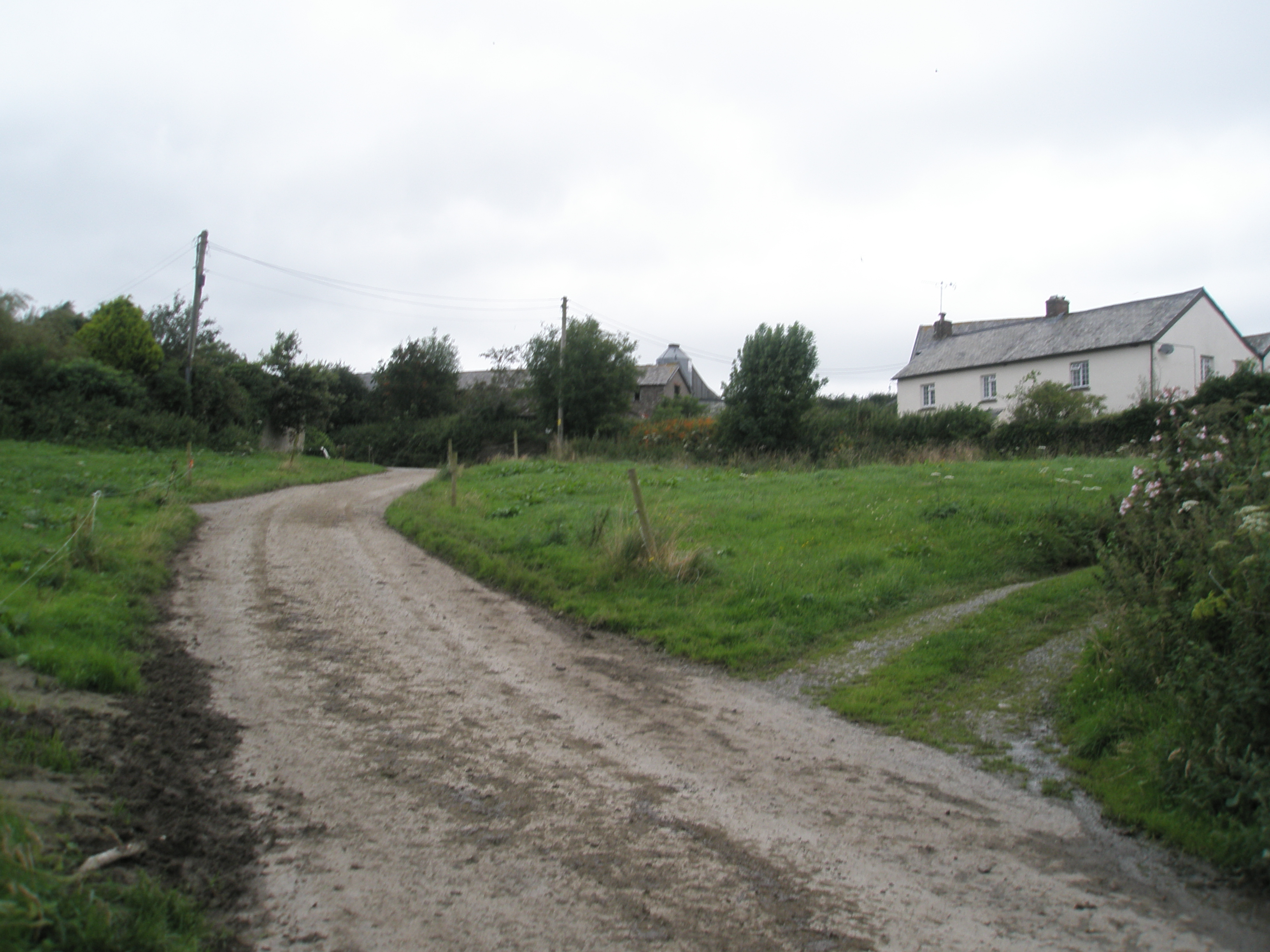
Woolley Belt is located at Grid Ref: SS5939 (Lat: 51.137219, Lng: -4.0056688)

Administrative County: Devon

District: North Devon

Police Authority: Devon and Cornwall

What 3 Words

///forces.cheesy.riverbank. Near Combe Martin, Devon

Related Wikis

Churchill, Devon

Churchill (colloquially known as Hollyhurst) is a hamlet in the north of Devon, England, and is located near the village of East Down, and the town of...

Manor of Loxhore

The Manor of Loxhore was a manor in the parish of Loxhore, North Devon, England. == Descent of the manor == === de Meulles === In the Domesday Book of 1086...
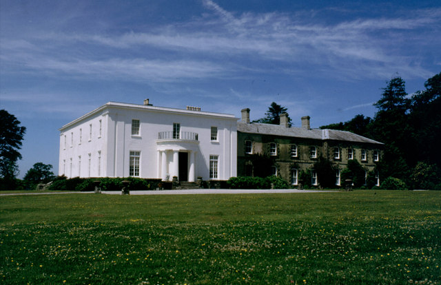
Arlington Court

Arlington Court is a neoclassical style country house built 1820–23, situated in the parish of Arlington, next to the parish church of St James, 5+1⁄4...

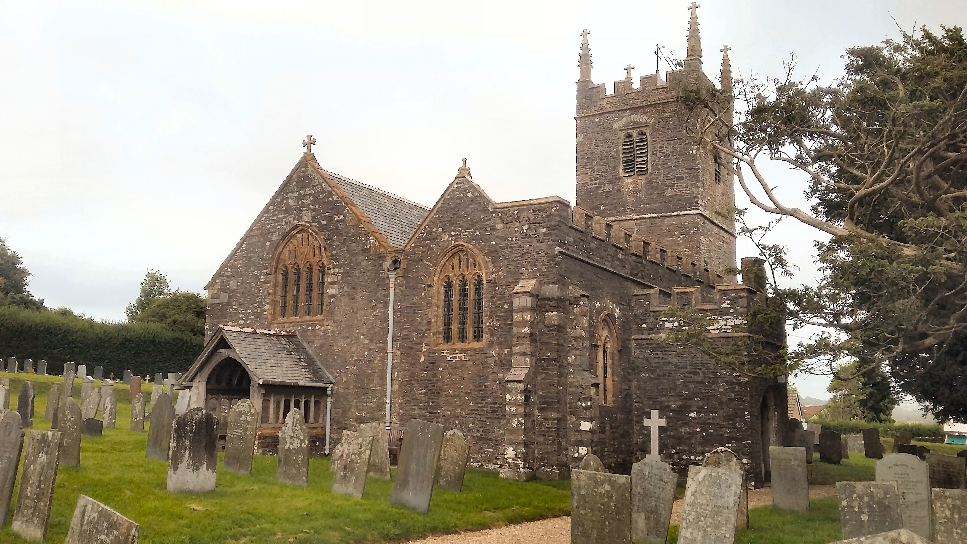
Church of St Peter, Shirwell

The Church of St Peter is the 13th-century Anglican parish church for the village of Shirwell in North Devon. It is a Grade I listed building and comes...

Have you been to Woolley Belt?

Leave your review of Woolley Belt below (or comments, questions and feedback).