White's Wood

Wood, Forest in Devon North Devon

England

White's Wood

East Down East Down ahead and Dudmoor Lane to the right
East Down Credit: Roger Gittins

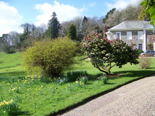
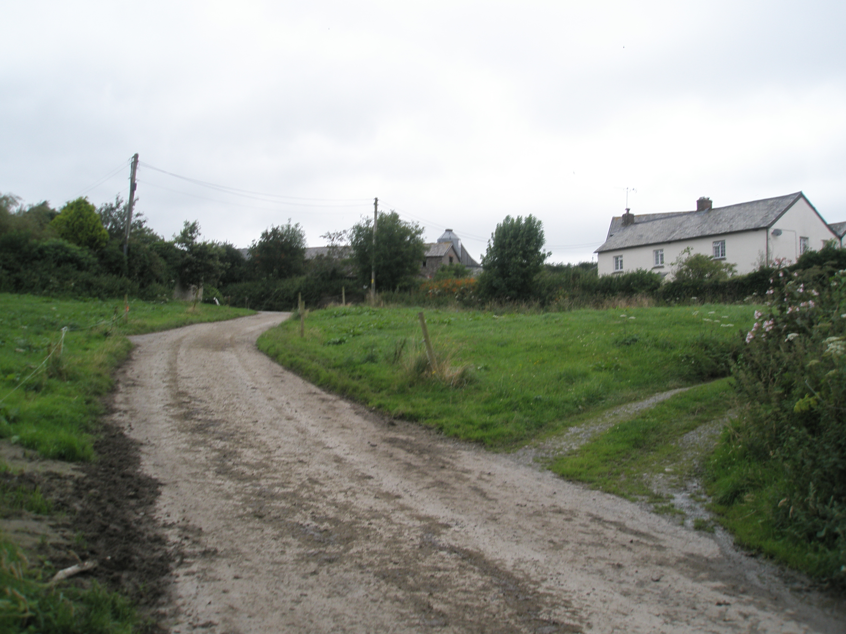
White's Wood is a picturesque woodland located in the county of Devon, England. Covering an area of approximately 50 acres, it is a haven for nature enthusiasts and those seeking tranquility in a natural setting. The wood is situated near the village of Whitecross, just a few miles from the town of Newton Abbot.

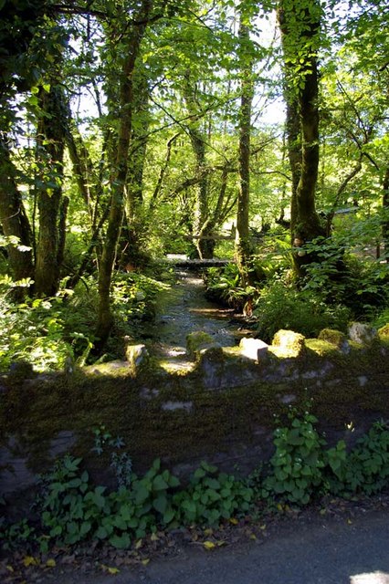
The wood is primarily composed of native broadleaf trees, including oak, beech, and birch, which create a dense canopy overhead. These trees provide a rich habitat for a diverse range of wildlife, including various bird species, squirrels, and deer. The forest floor is adorned with a carpet of wildflowers during the spring and summer months, adding to the area's natural beauty.

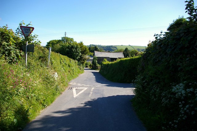
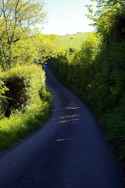
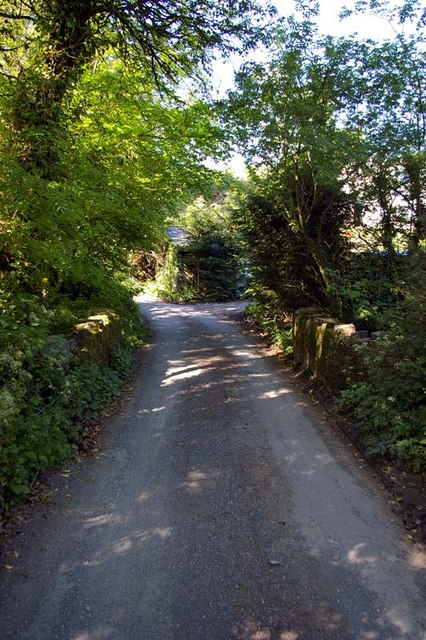
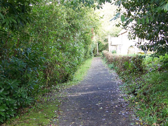
Several well-maintained trails wind their way through the wood, allowing visitors to explore its hidden nooks and crannies. These paths are suitable for walkers of all abilities and offer opportunities to observe the flora and fauna up close. A small stream meanders through the wood, providing a peaceful soundtrack to accompany the tranquil ambiance.

White's Wood is a popular destination for families, dog walkers, and nature lovers alike. It offers a respite from the hustle and bustle of everyday life, providing a serene environment in which to unwind and appreciate the wonders of the natural world. Whether it be for a leisurely stroll, birdwatching, or simply enjoying a picnic surrounded by nature, White's Wood offers an idyllic escape for visitors seeking a connection with the great outdoors.

If you have any feedback on the listing, please let us know in the comments section below.
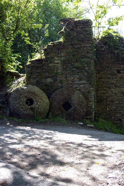
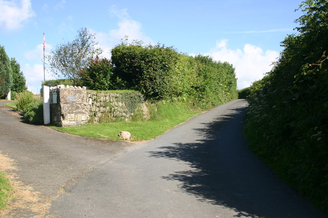
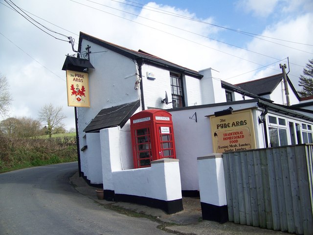
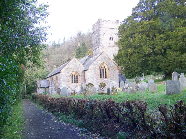
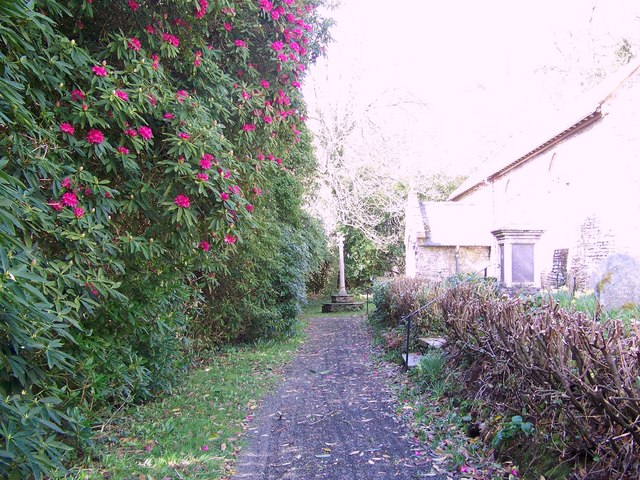
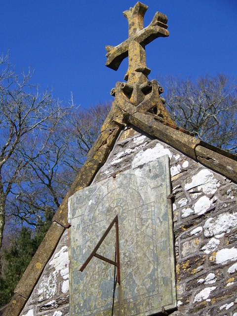
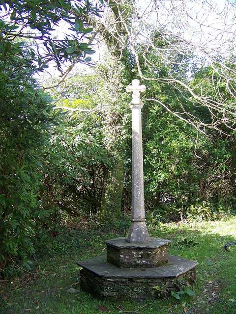
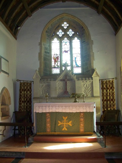
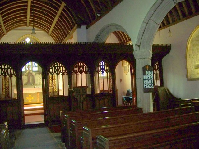
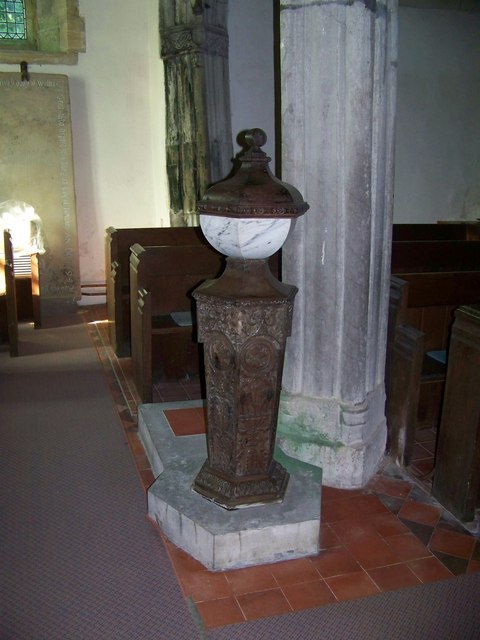
White's Wood Images

Images are sourced within 2km of 51.165083/-4.0065486 or Grid Reference SS5942. Thanks to Geograph Open Source API. All images are credited.

East Down East Down ahead and Dudmoor Lane to the right
East Down
East Down ahead and Dudmoor Lane to the right
Steep Bend This bend is marked as a 1:5 - 1:7 gradient on the OS Explorer OL9 Exmoor 2.1/2" map.
Steep Bend
This bend is marked as a 1:5 - 1:7 gradient on the OS Explorer OL9 Exmoor 2.1/2" map.
Park View farm Park View farm
Park View farm
Park View farm
Bridge over the River Yeo? It is assumed that this bridge is over the River Yeo; mentioned one mile downstream on 2.1/2" OS map.
Bridge over the River Yeo?
It is assumed that this bridge is over the River Yeo; mentioned one mile downstream on 2.1/2" OS map.
Hidden man Can you spot the man about to fill a bucket with water from the River Yeo (TBC)?
Hidden man
Can you spot the man about to fill a bucket with water from the River Yeo (TBC)?
Millstones It appears there was a mill at Bugford in past times. What is the significance of the circular and square holes at the centre of each stone? It would make sense for the circular one to be the "bedstone" and the square one to be the driven "runner stone".
Millstones
It appears there was a mill at Bugford in past times. What is the significance of the circular and square holes at the centre of each stone? It would make sense for the circular one to be the "bedstone" and the square one to be the driven "runner stone".
East Down East Down road heading up to Stonecombe
East Down
East Down road heading up to Stonecombe
Barton House Entrance Barton House Entrance by the road up to Stonecombe
Barton House Entrance
Barton House Entrance by the road up to Stonecombe
The Pyne Arms, East Down
Path to St John the Baptist Church, East Down
St John the Baptist Church, East Down The church of St. John the Baptist was rebuilt, except the tower, in 1886-7.
St John the Baptist Church, East Down
The church of St. John the Baptist was rebuilt, except the tower, in 1886-7.
Path and cross, St John the Baptist Church, East Down
Sundial, St John the Baptist Church, East Down The sundial is situated on the porch.
Sundial, St John the Baptist Church, East Down
The sundial is situated on the porch.
Cross, St John the Baptist Church, East Down
Interior, St John the Baptist Church, East Down
Rood Screen, St John the Baptist, East Down The rood screen is 15th century and has been greatly restored.
Rood Screen, St John the Baptist, East Down
The rood screen is 15th century and has been greatly restored.
Font, St John the Baptist Church, East Down The Renaissance marble font stands on an elaborately carved shaft.
Font, St John the Baptist Church, East Down
The Renaissance marble font stands on an elaborately carved shaft.
East Down Manor
East Down Manor
Show me another place!

White's Wood is located at Grid Ref: SS5942 (Lat: 51.165083, Lng: -4.0065486)

Administrative County: Devon

District: North Devon

Police Authority: Devon and Cornwall

What 3 Words

///speeded.sprouts.clocks. Near Combe Martin, Devon

Related Wikis

East Down, Devon

East Down is a village and civil parish in the Barnstaple district of Devon, England. It includes the hamlets of Churchill, Shortacombe, Brockham and Clifton...

Churchill, Devon

Churchill (colloquially known as Hollyhurst) is a hamlet in the north of Devon, England, and is located near the village of East Down, and the town of...

Arlington, Devon

Arlington was a manor, and is a village and civil parish in the North Devon district of Devon in England. The parish includes the villages of Arlington...

Kentisbury

Kentisbury is a rural civil parish in North Devon, England, bordering the Exmoor National Park, consisting of three small hamlets, Patchole, Kentisbury...

Nearby Amenities

Located within 500m of 51.165083,-4.0065486
Little Woodacott
Addr Street: East Down, Barnstaple EX31 4LZ
Description: Little Woodacott is a cosy woodland self-contained, non-smoking, one bedroom cottage sleeping two people. It is set in 10 acres of Bugford Wood, an historic, private, peaceful oak forest in East Down, near Barnstaple, North Devon.
Tourism: cabin
Website: https://www.littlewoodacott.co.uk/
Lat/Long: 51.1668777/-4.0025458
The data included in this document is from www.openstreetmap.org. The data is made available under ODbL.

Have you been to White's Wood?

Leave your review of White's Wood below (or comments, questions and feedback).