Chilson
Settlement in Oxfordshire West Oxfordshire
England
Chilson
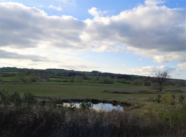
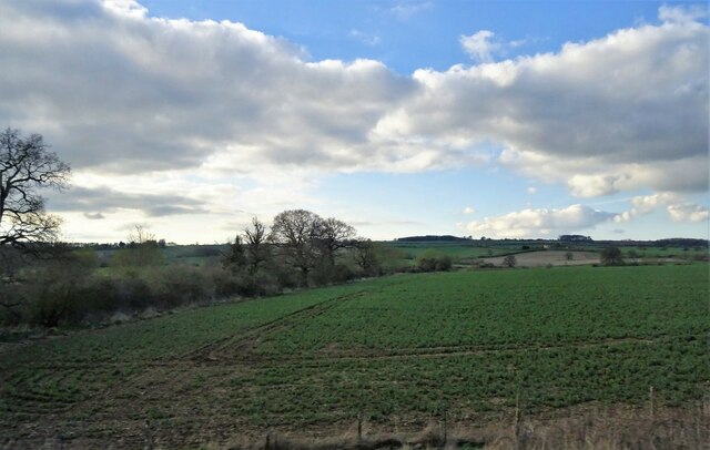
Chilson is a small village located in the county of Oxfordshire, England. Situated approximately 7 miles southwest of the city of Oxford, Chilson is a picturesque settlement that embodies the charm and tranquility of rural England. The village is nestled amidst rolling hills and lush green landscapes, offering residents and visitors a serene and idyllic setting.
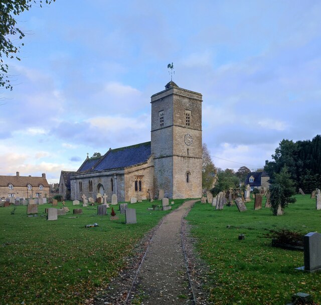
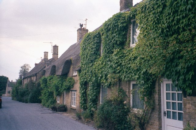
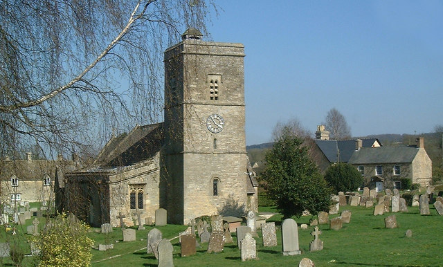
Chilson is home to a close-knit community, with a population of just over 200 people. The village has a rich history dating back several centuries, evident in its well-preserved architecture and traditional cottages. The quaint St. Mary's Church, believed to have been built in the 12th century, stands as a testament to the village's heritage.
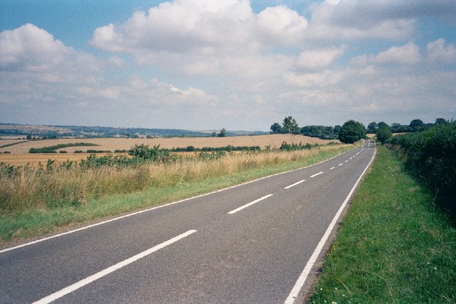
Although small in size, Chilson offers a range of amenities to its residents. The village boasts a local pub, The Black Swan, which serves as a popular gathering spot for locals and visitors alike. Additionally, Chilson is well-connected to neighboring towns and villages through a network of roads, making it easily accessible for commuters and tourists.
Surrounded by the natural beauty of the Oxfordshire countryside, Chilson offers ample opportunities for outdoor activities. The village is a great starting point for exploring the nearby Cotswolds, an Area of Outstanding Natural Beauty known for its charming villages and scenic landscapes. From hiking and cycling to picnicking and wildlife spotting, there is something for everyone to enjoy in the surrounding countryside.
Overall, Chilson is a hidden gem in Oxfordshire, offering a peaceful and picturesque retreat from the hustle and bustle of city life.
If you have any feedback on the listing, please let us know in the comments section below.
Chilson Images
Images are sourced within 2km of 51.873134/-1.540965 or Grid Reference SP3119. Thanks to Geograph Open Source API. All images are credited.


Chilson is located at Grid Ref: SP3119 (Lat: 51.873134, Lng: -1.540965)
Administrative County: Oxfordshire
District: West Oxfordshire
Police Authority: Thames Valley
What 3 Words
///orbited.when.stay. Near Shipton under Wychwood, Oxfordshire
Nearby Locations
Related Wikis

Chilson
Chilson is a hamlet and civil parish in the Evenlode Valley in West Oxfordshire, England, about 4+1⁄2 miles (7 km) south of Chipping Norton. The civil...

Shorthampton
Shorthampton is a hamlet in Chilson civil parish about 2 miles (3 km) west of Charlbury, in Oxfordshire, England. The oldest parts of the Church of England...

Ascot d'Oilly Castle
Ascot d'Oilly Castle is situated north of the village of Ascott-under-Wychwood in the north west region of Oxfordshire. It is a scheduled ancient monument...

Cornbury Park
Cornbury Park is an estate near Charlbury, Oxfordshire. It comprises about 5000 acres, mostly farmland and woods, including a remnant of the Wychwood Forest...

Ascott-under-Wychwood
Ascott-under-Wychwood is a village and civil parish in the Evenlode valley about 4.5 miles (7 km) south of Chipping Norton, Oxfordshire, England. The 2011...

Milton-under-Wychwood
Milton-under-Wychwood is an English village and civil parish about 4 miles (6.4 km) north of Burford, Oxfordshire, just off the A361 road between Burford...

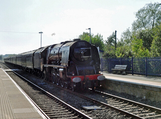
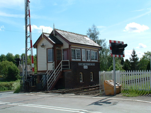
Ascott-under-Wychwood railway station
Ascott-under-Wychwood railway station is a railway station serving the village of Ascott-under-Wychwood in Oxfordshire, England. It is on the Cotswold...

Ascott d'Oyley
Ascott d'Oyley is a village in Oxfordshire, England. The name ‘Ascott’ is derived from the Old English ēast (east) and cot (cottage), whilst d’Oyley was...
Nearby Amenities
Located within 500m of 51.873134,-1.540965Have you been to Chilson?
Leave your review of Chilson below (or comments, questions and feedback).