Chilsham
Settlement in Sussex Wealdon
England
Chilsham
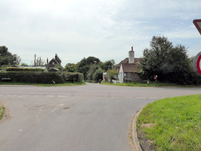
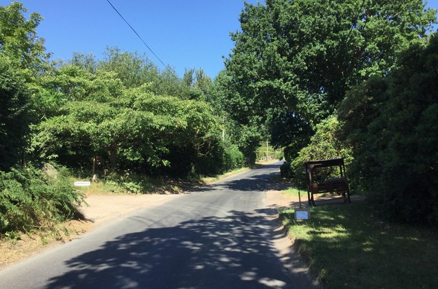
Chilsham is a small village located in the county of Sussex, England. Situated in the South Downs National Park, it is surrounded by picturesque countryside and offers stunning views of the rolling hills and meadows that characterize the area.
With a population of around 200 residents, Chilsham is known for its peaceful and close-knit community. The village features a mix of historic and modern houses, with some dating back several centuries. One of the notable landmarks is St. Peter's Church, a beautiful medieval church that stands at the heart of the village.
Despite its small size, Chilsham boasts a number of amenities for its residents. These include a local pub, The Plough Inn, which serves as a social hub for the community. Additionally, there is a village hall that hosts various events and activities throughout the year.
The village is well-suited for outdoor enthusiasts, as it offers easy access to a range of walking and cycling routes. The nearby South Downs Way, a long-distance trail, attracts hikers and nature lovers from across the country. Chilsham also benefits from its proximity to other towns and villages in Sussex, such as Lewes and Eastbourne, which provide additional amenities and recreational opportunities.
In summary, Chilsham is a charming and tranquil village nestled in the beautiful Sussex countryside. With its rich history, friendly community, and stunning surroundings, it offers a peaceful retreat for both residents and visitors alike.
If you have any feedback on the listing, please let us know in the comments section below.
Chilsham Images
Images are sourced within 2km of 50.893485/0.31633093 or Grid Reference TQ6313. Thanks to Geograph Open Source API. All images are credited.


Chilsham is located at Grid Ref: TQ6313 (Lat: 50.893485, Lng: 0.31633093)
Administrative County: East Sussex
District: Wealdon
Police Authority: Sussex
What 3 Words
///sunshine.entitles.cone. Near Herstmonceux, East Sussex
Nearby Locations
Related Wikis
Herstmonceux
Herstmonceux ( HURSS-mən-ZOO, -SOO, or horss-MOWN-seez) is a village and civil parish in the Wealden District of East Sussex, England, which includes...
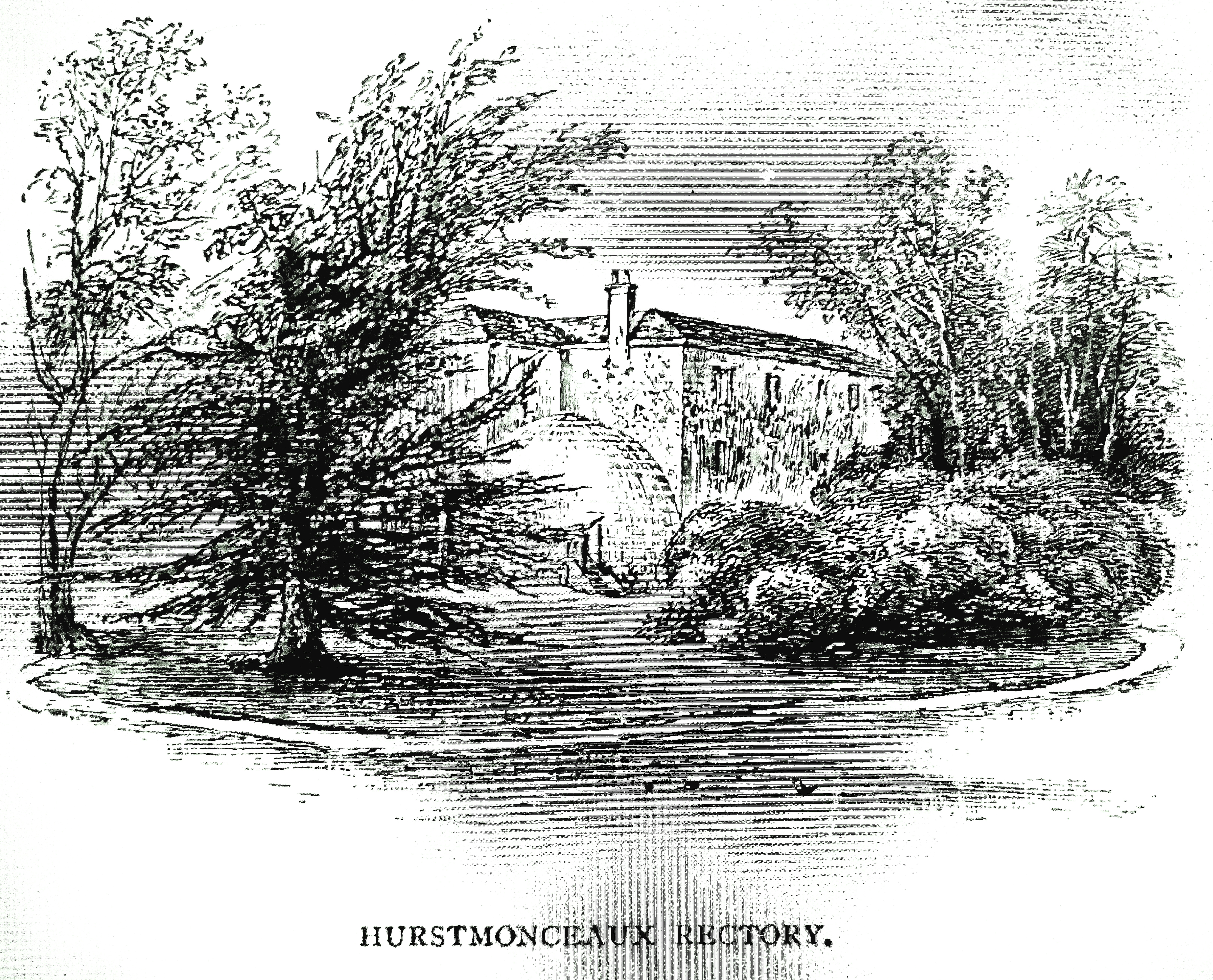
Buckwell Place
Buckwell Place (formerly Herstmonceux Rectory) is a country house within the civil parish of Herstmonceux, East Sussex, England. It is a privately owned...
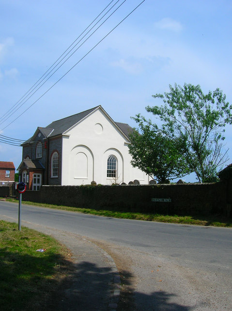
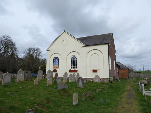
Herstmonceux Free Church
Herstmonceux Free Church is a congregational chapel located in Herstmonceux, East Sussex. It was initially constructed at its site on Chapel Row in 1811...
Cowbeech
Cowbeech is a small village in the civil parish of Herstmonceux in the Wealden district of East Sussex, England. Its nearest town is Hailsham, which lies...

Windmill Hill, East Sussex
Windmill Hill is a village in the civil parish of Herstmonceux, in the Wealden district of East Sussex, England. In 2020 it had an estimated population...
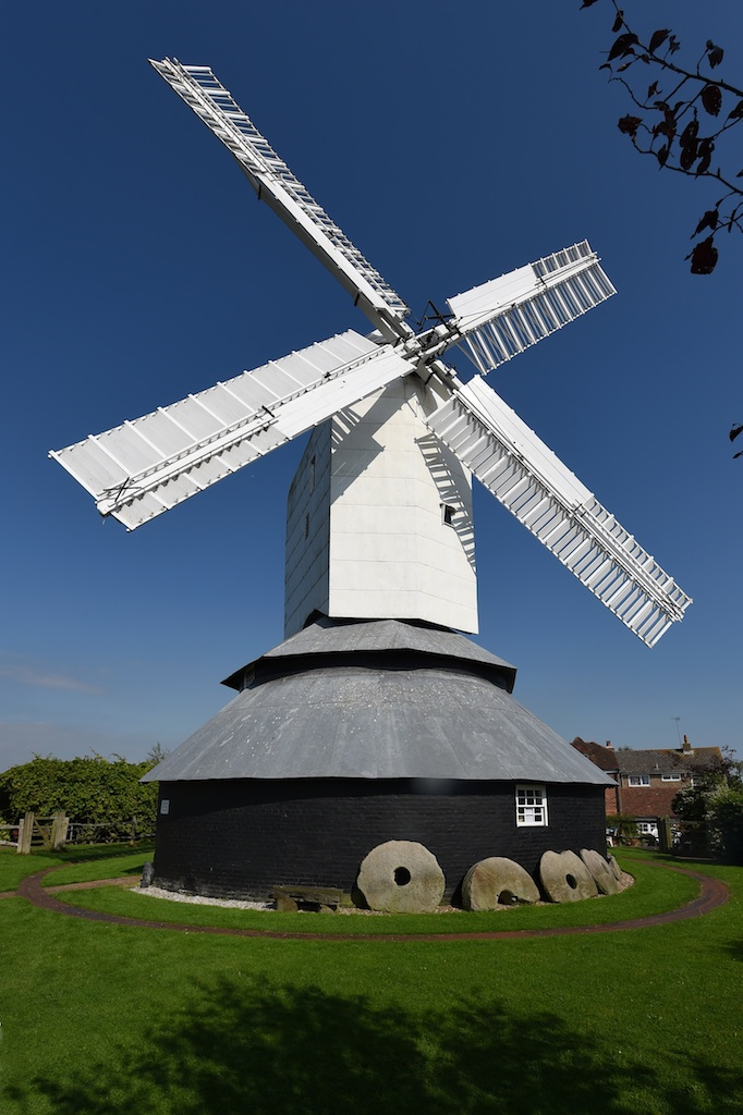
Windmill Hill Mill, Herstmonceux
Windmill Hill Mill is a grade II* listed post mill at Herstmonceux, Sussex, England which has been restored and now operates as a working mill. The mill...
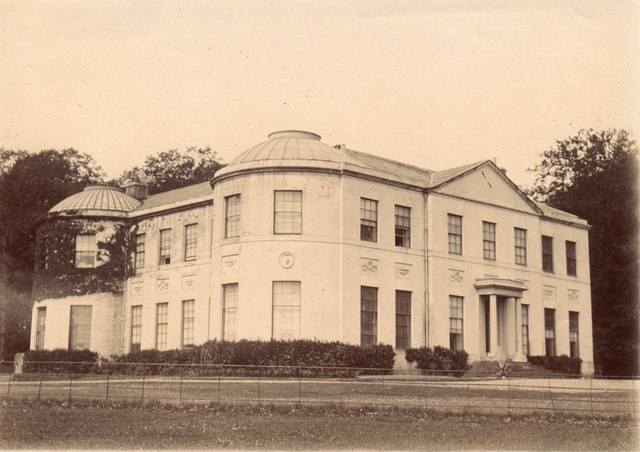
Herstmonceux Place
Herstmonceux Place is an 18th-century country house in Herstmonceux, East Sussex, England. It was divided into apartments in the 1950s. The house stands...

Magham Down Manor House
Magham Down Manor House is a Grade II listed building in Magham Down in the Wealden district of East Sussex. == External links == Entry on Historic England...
Nearby Amenities
Located within 500m of 50.893485,0.31633093Have you been to Chilsham?
Leave your review of Chilsham below (or comments, questions and feedback).