Chilson
Civil Parish in Oxfordshire West Oxfordshire
England
Chilson
Chilson is a small civil parish located in Oxfordshire, England. Situated about 5 miles north of Witney, it falls within the West Oxfordshire district. The settlement is nestled in the beautiful rolling countryside of the Cotswolds, a designated Area of Outstanding Natural Beauty.
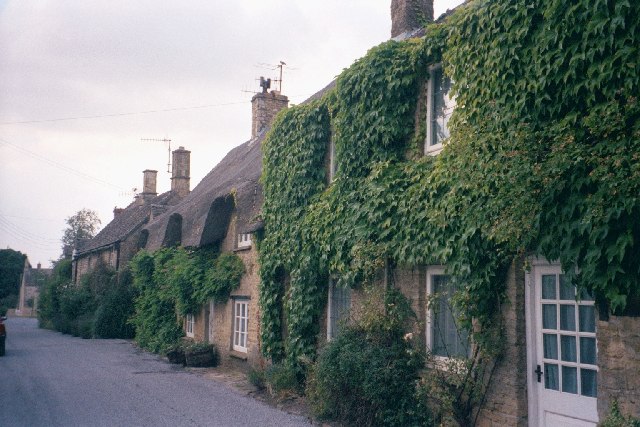
The village of Chilson is known for its picturesque charm, with a collection of traditional stone cottages and farmhouses adding to its appeal. The parish is predominantly rural, with a small population of around 100 residents. The parish also includes the nearby hamlets of Chilson Hill and Chilson Common, which further enhances its tranquil and idyllic setting.
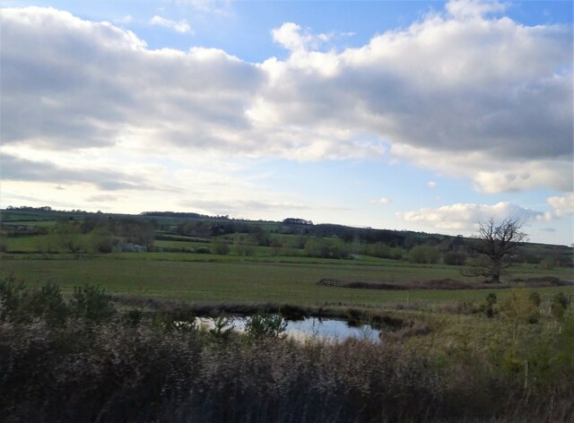
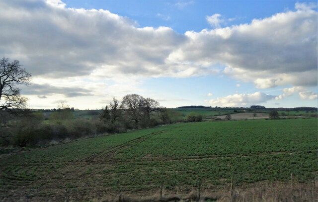
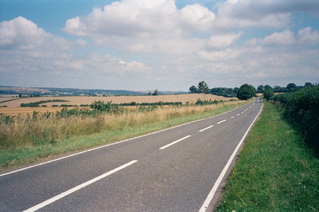
Chilson is surrounded by stunning natural landscapes, offering plenty of opportunities for outdoor activities. The area is crisscrossed by footpaths and bridleways, allowing residents and visitors to explore the countryside on scenic walks or horseback rides. The nearby River Windrush adds to the beauty of the area and provides a peaceful spot for fishing or simply enjoying the serene surroundings.
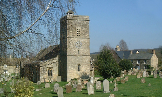
Despite its small size, Chilson has a strong sense of community, with various social events and activities organized throughout the year. The parish is also home to the 13th-century St. Nicholas Church, an architectural gem that adds historical significance to the area.
Overall, Chilson offers a peaceful and charming rural lifestyle, with its natural beauty and close-knit community making it an attractive place to live or visit for those seeking a tranquil escape in the heart of Oxfordshire.
If you have any feedback on the listing, please let us know in the comments section below.
Chilson Images
Images are sourced within 2km of 51.874114/-1.538863 or Grid Reference SP3119. Thanks to Geograph Open Source API. All images are credited.


Chilson is located at Grid Ref: SP3119 (Lat: 51.874114, Lng: -1.538863)
Administrative County: Oxfordshire
District: West Oxfordshire
Police Authority: Thames Valley
What 3 Words
///stormy.guidebook.square. Near Charlbury, Oxfordshire
Nearby Locations
Related Wikis

Chilson
Chilson is a hamlet and civil parish in the Evenlode Valley in West Oxfordshire, England, about 4+1⁄2 miles (7 km) south of Chipping Norton. The civil...

Shorthampton
Shorthampton is a hamlet in Chilson civil parish about 2 miles (3 km) west of Charlbury, in Oxfordshire, England. The oldest parts of the Church of England...

Cornbury Park
Cornbury Park is an estate near Charlbury, Oxfordshire. It comprises about 5000 acres, mostly farmland and woods, including a remnant of the Wychwood Forest...

Ascot d'Oilly Castle
Ascot d'Oilly Castle is situated north of the village of Ascott-under-Wychwood in the north west region of Oxfordshire. It is a scheduled ancient monument...

Ascott-under-Wychwood
Ascott-under-Wychwood is a village and civil parish in the Evenlode valley about 4.5 miles (7 km) south of Chipping Norton, Oxfordshire, England. The 2011...

Milton-under-Wychwood
Milton-under-Wychwood is an English village and civil parish about 4 miles (6.4 km) north of Burford, Oxfordshire, just off the A361 road between Burford...

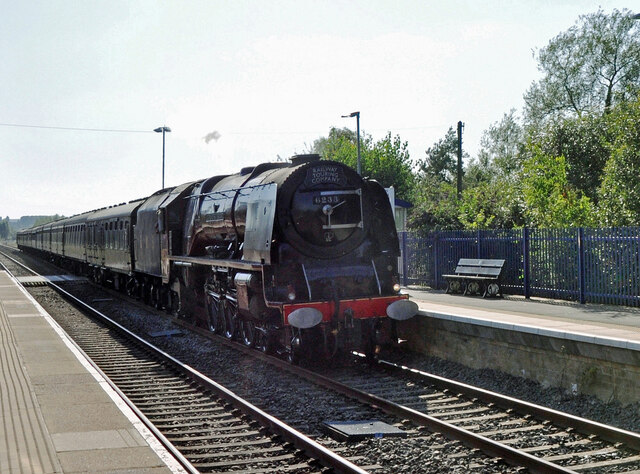
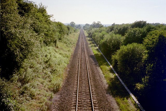
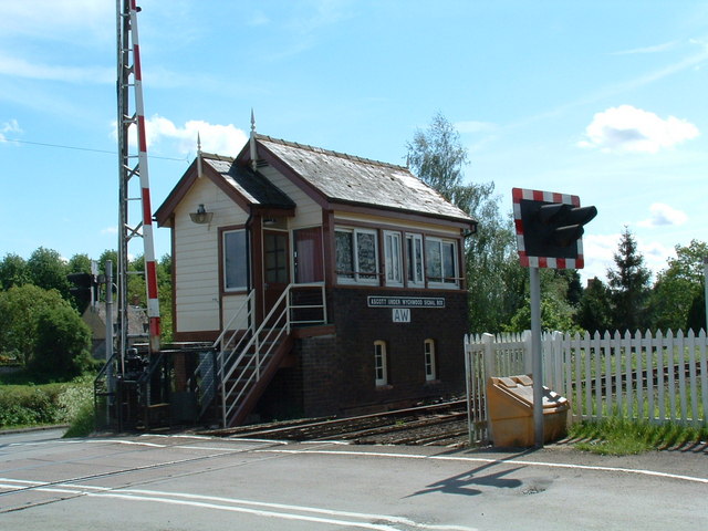
Ascott-under-Wychwood railway station
Ascott-under-Wychwood railway station is a railway station serving the village of Ascott-under-Wychwood in Oxfordshire, England. It is on the Cotswold...

Ascott d'Oyley
Ascott d'Oyley is a village in Oxfordshire, England. The name ‘Ascott’ is derived from the Old English ēast (east) and cot (cottage), whilst d’Oyley was...
Related Videos
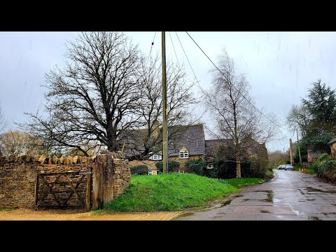
Relaxing Rain Walk In The English Countryside || Chilson, Oxfordshire
Walking Chilson country paths and road with umbrella in the heavy rain - wet & windy UK weather. 1 day after storm Eunice.

Wilderness Festival: Naked cricket, festival vanlife & LOTS of glitter
Come with me to Wilderness Festival 2022 with @DrinkLot42 [ad pr ticket]. This was my first 4-day music festival in the UK with my ...

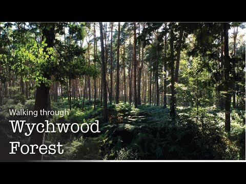
Wychwood Forest Walk
Despite living near this ancient forest my whole life, I only just recently ventured into it's dense woodland. I was completely taken ...
Nearby Amenities
Located within 500m of 51.874114,-1.538863Have you been to Chilson?
Leave your review of Chilson below (or comments, questions and feedback).