Bamant's Wood
Wood, Forest in Devon North Devon
England
Bamant's Wood

Bamant's Wood, located in Devon, England, is a picturesque forest that spans over a vast area of land. This ancient woodland is known for its rich biodiversity and stunning natural beauty. The wood is named after the nearby village of Bamant, which adds to its historical significance.
The wood is primarily composed of a mixture of broadleaf trees, including oak, ash, beech, and birch. These towering trees create a dense canopy that provides shade and shelter for various wildlife species. The forest floor is covered in a thick layer of leaf litter, moss, and ferns, creating a lush and vibrant undergrowth.
Bamant's Wood is home to a diverse range of flora and fauna. It serves as a habitat for numerous bird species, such as woodpeckers, owls, and songbirds, which fill the air with their melodious calls. Squirrels can often be seen darting among the branches, while deer and foxes roam the forest floor.
The wood offers a serene and tranquil environment for nature enthusiasts and hikers. Numerous walking trails crisscross through the forest, allowing visitors to explore its hidden treasures. The pathways wind past babbling brooks and small ponds, adding to the ethereal charm of the woodland.
Bamant's Wood is also a popular destination for photographers and artists who are captivated by its captivating scenery. The changing seasons bring a kaleidoscope of colors, from the vibrant greens of spring and summer to the fiery reds and golds of autumn.
Overall, Bamant's Wood in Devon is a natural haven that showcases the beauty of the English countryside. Its ancient trees, diverse wildlife, and enchanting atmosphere make it a must-visit destination for anyone seeking a peaceful retreat in nature.
If you have any feedback on the listing, please let us know in the comments section below.
Bamant's Wood Images
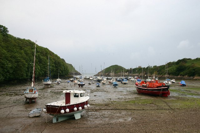
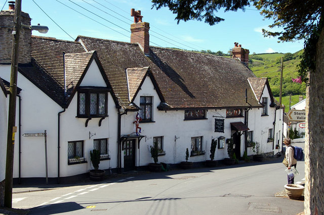
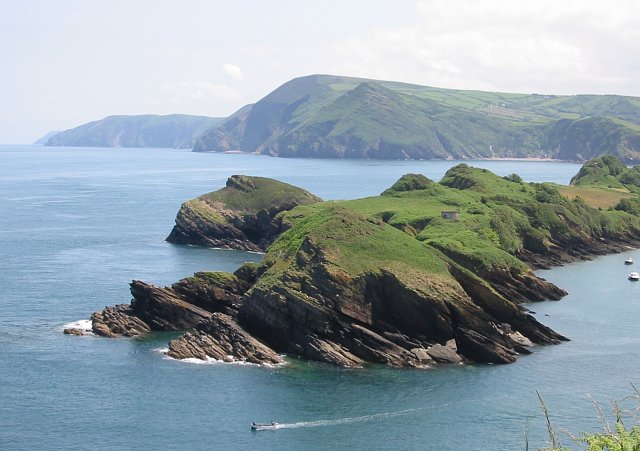
Images are sourced within 2km of 51.20925/-4.0627735 or Grid Reference SS5647. Thanks to Geograph Open Source API. All images are credited.


Bamant's Wood is located at Grid Ref: SS5647 (Lat: 51.20925, Lng: -4.0627735)
Administrative County: Devon
District: North Devon
Police Authority: Devon and Cornwall
What 3 Words
///repayment.spoil.water. Near Combe Martin, Devon
Nearby Locations
Related Wikis

Broadsands Beach
Broadsands Beach is the marketing name given to a small cove located in Watermouth, originally known as Broadstrands Beach, North Devon. It is owned by...
Watermouth
Watermouth is a sheltered bay and hamlet between Hele Bay and Combe Martin on the North Devon coast of England. The settlement's castle, named as Watermouth...
Berrynarbor
Berrynarbor (historically Berry Narbor, Berrie Nerbert, etc) is a village, civil parish and former manor in the North Devon district of Devon, England...
Sexton's Burrows
Sexton's Burrows is a narrow rocky peninsula which forms a natural breakwater to the Harbour of Watermouth Bay on the North Devon coast.
Related Videos

Combe Martin | North Devon | Full walking tour
Join us on this full walking tour of Combe Martin in Nortyh Devon. very popular with families walkers and Kayakers. Combe Martin ...

John Fowler holiday park, Sandaway Beach Holiday Park
Platinum 134.

A WEEK IN PARADISE... ULTIMATE HOLIDAY VLOG | GEORGIA RANKIN
EMAIL - (BUSINESS ENQUIRIES ONLY) georgiarankinbusiness@gmail.com Come on holiday with me to Devon to celebrate the ...

What's on at Sandaway Beach Holiday Park in Combe Martin | North Devon | John Fowler Holidays
caravan #northdevon #johnfowler At Sandaway Beach Holiday Park in Combe Martin, North Devon England. Our day 2 at the ...
Nearby Amenities
Located within 500m of 51.20925,-4.0627735Have you been to Bamant's Wood?
Leave your review of Bamant's Wood below (or comments, questions and feedback).