Beechcroft Plantation
Wood, Forest in Devon West Devon
England
Beechcroft Plantation

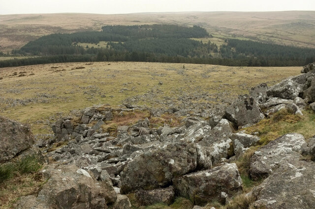
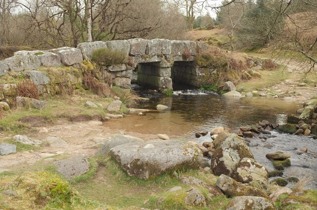
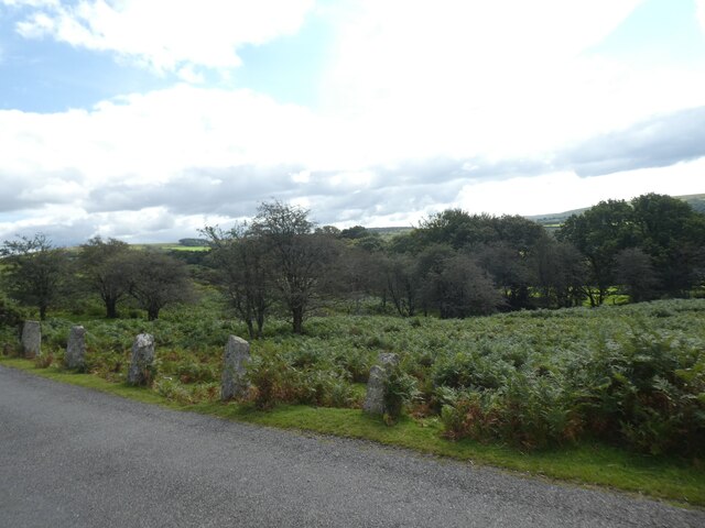
Beechcroft Plantation, located in Devon, England, is a scenic wood and forest area renowned for its natural beauty and diverse wildlife. Covering an expansive area of land, the plantation is predominantly populated by beech trees, which give the area its name.
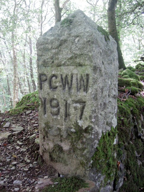
The woodland of Beechcroft Plantation boasts a rich history, dating back several centuries. It has been carefully preserved and managed over the years to maintain its ecological integrity. The plantation serves as a vital habitat for a wide range of flora and fauna, making it a popular destination for nature enthusiasts and photographers.
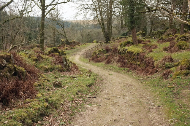
The dense canopy of beech trees provides a tranquil and serene atmosphere, inviting visitors to explore the winding footpaths that meander through the plantation. These paths offer spectacular views of the surrounding landscape, with glimpses of rolling hills, meadows, and streams.
The forest floor is adorned with a vibrant carpet of wildflowers, adding bursts of color to the greenery. The diverse range of plant species includes bluebells, primroses, and wood anemones, which bloom throughout the spring and summer months.
Wildlife thrives within the plantation, with various species of birds, mammals, and insects calling it their home. Visitors may spot deer, foxes, squirrels, and a plethora of bird species, including woodpeckers and owls.
Beechcroft Plantation offers a peaceful retreat, allowing visitors to connect with nature and escape the hustle and bustle of everyday life. Whether it is a leisurely stroll, a picnic amongst the trees, or simply immersing oneself in the sights and sounds of the forest, this woodland destination provides a memorable experience for all who visit.
If you have any feedback on the listing, please let us know in the comments section below.
Beechcroft Plantation Images
Images are sourced within 2km of 50.498735/-4.0315814 or Grid Reference SX5668. Thanks to Geograph Open Source API. All images are credited.


Beechcroft Plantation is located at Grid Ref: SX5668 (Lat: 50.498735, Lng: -4.0315814)
Administrative County: Devon
District: West Devon
Police Authority: Devon and Cornwall
What 3 Words
///hunk.cringes.potential. Near Yelverton, Devon
Nearby Locations
Related Wikis

Burrator Reservoir
Burrator Reservoir is a reservoir on the south side of Dartmoor in the English county of Devon. It is one of a number of reservoirs and dams that were...
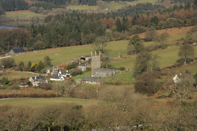
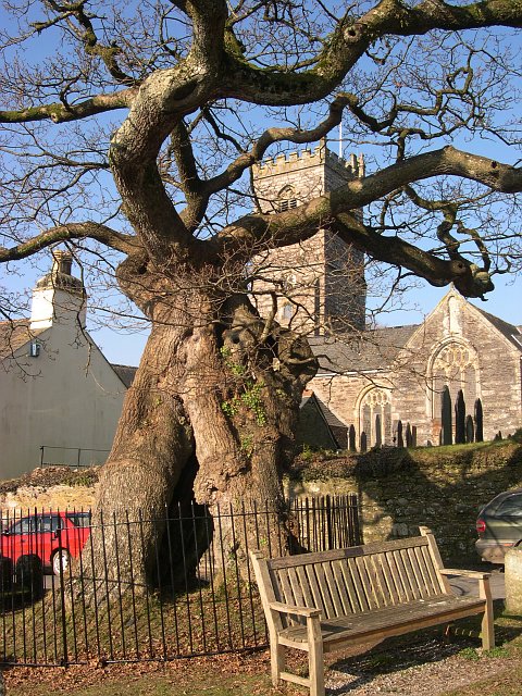
Sheepstor
Sheepstor is a village, civil parish and former manor on the western side of Dartmoor in the county of Devon, England. In 2001, its population was 53,...

Burrator and Sheepstor Halt railway station
Burrator and Sheepstor Halt railway station was located on the 10.5 mile long single track branch railway line in Devon, England, running from Yelverton...
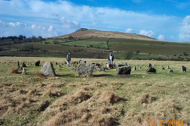
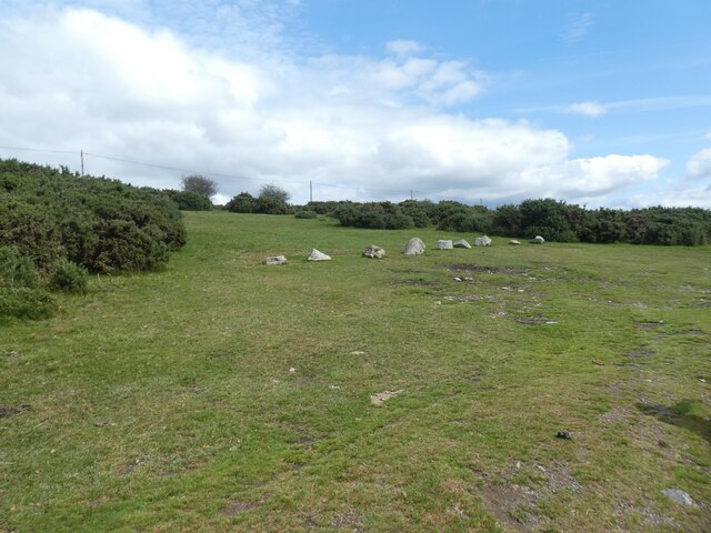
Yellowmead stone circle
Yellowmead stone circle near Sheepstor in Devon, England, is a Bronze Age concentric stone circle consisting of four rings of stones set within one another...

Burrator
Burrator is a grouped parish council in the English county of Devon. It is entirely within the boundaries of the Dartmoor National Park and was formed...

Down Tor
Down Tor is a tor on Dartmoor, England, at GR 581694, height 366 metres (1,201 ft), overlooking Burrator Reservoir. == References ==
Meavy
Meavy is a small village, civil parish and former manor in the English county of Devon. Meavy forms part of the district of West Devon. It lies a mile...

Dousland railway station
Dousland railway station, originally opened at Dousland Barn in 1883 was located on the 10.5 mile long single track branch railway line in Devon, England...
Nearby Amenities
Located within 500m of 50.498735,-4.0315814Have you been to Beechcroft Plantation?
Leave your review of Beechcroft Plantation below (or comments, questions and feedback).