Barne's Plantation
Wood, Forest in Devon Torridge
England
Barne's Plantation

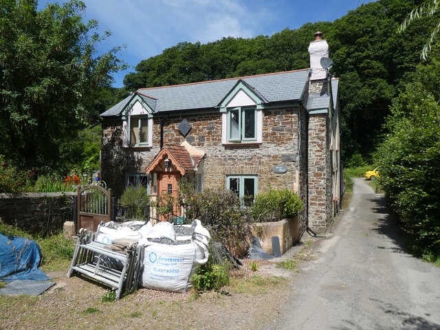
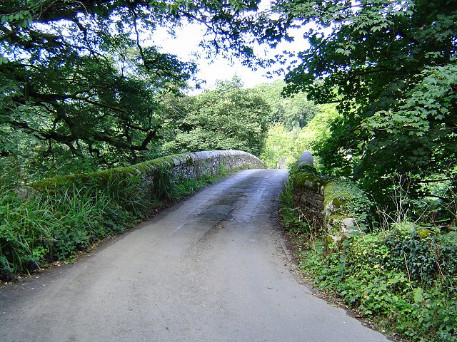
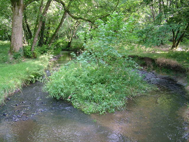
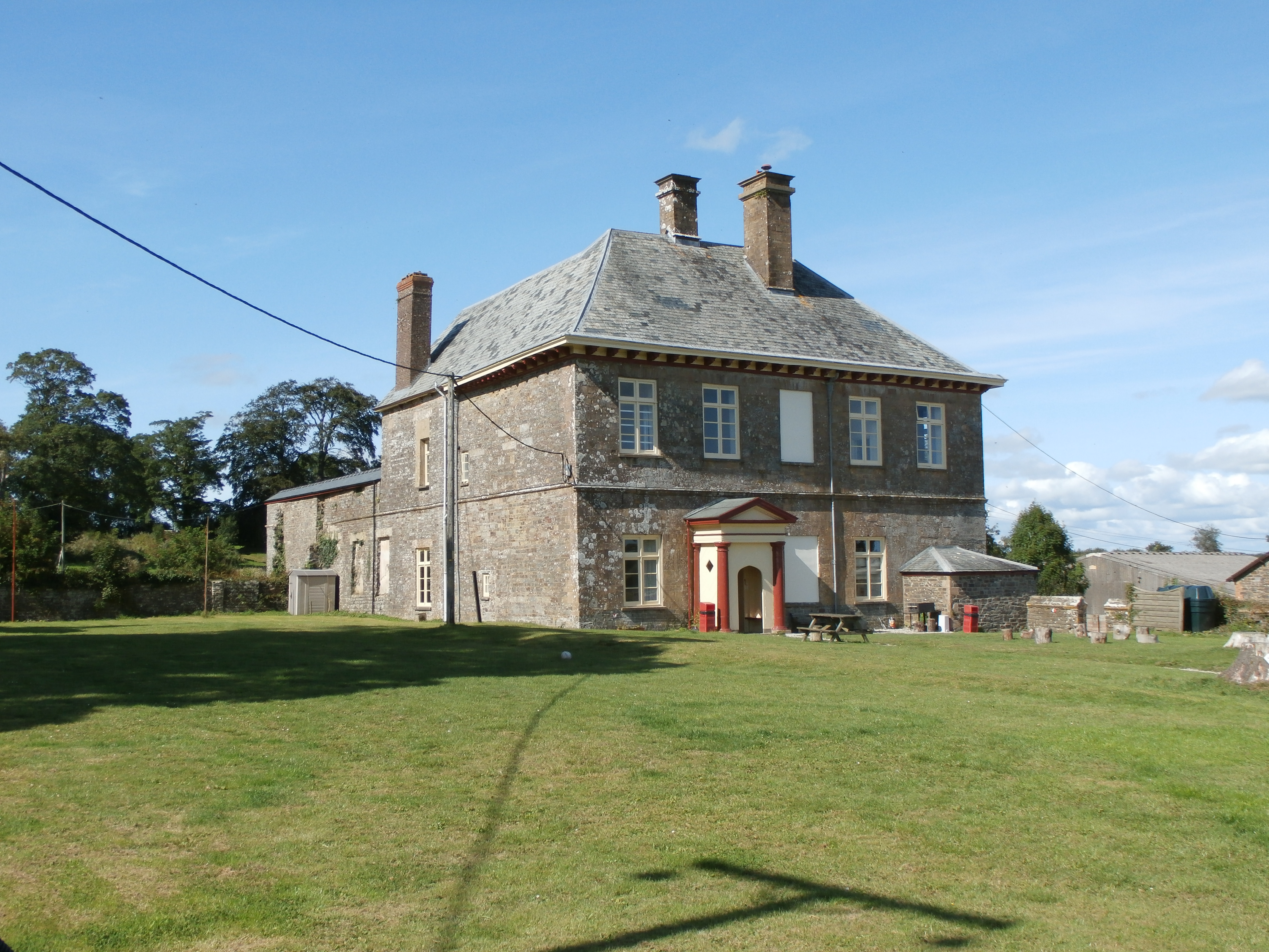
Barne's Plantation, located in Devon, is a picturesque woodland area encompassing approximately 100 acres. Situated in the heart of the county, it is renowned for its natural beauty and tranquil atmosphere, attracting both locals and tourists alike.
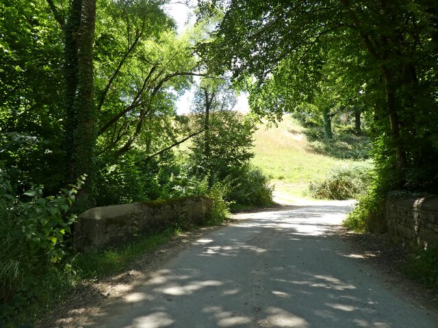
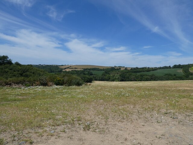
The plantation is dominated by a diverse range of trees, including oak, beech, and birch, which create a dense canopy that provides shade and shelter for various wildlife species. The forest floor is adorned with an abundance of wildflowers, adding vibrant colors to the landscape throughout the seasons.
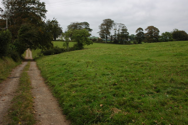
Visitors to Barne's Plantation can indulge in a variety of recreational activities. The well-maintained network of trails provides opportunities for leisurely walks, jogging, or cycling. Nature enthusiasts can relish the chance to observe a host of bird species, such as woodpeckers and owls, as well as small mammals like squirrels and foxes.
The plantation also features a picnic area, equipped with benches and tables, making it an ideal spot for families and friends to enjoy a packed lunch amidst the serenity of nature. Additionally, there are designated areas for camping and barbecuing, allowing visitors to extend their stay and fully immerse themselves in the beauty of the surroundings.
Barne's Plantation is well-connected to the nearby towns and villages, with ample parking facilities available for visitors. The management ensures the preservation of the woodland's natural habitat and the maintenance of the trails to provide a safe and enjoyable experience for all who visit.
If you have any feedback on the listing, please let us know in the comments section below.
Barne's Plantation Images
Images are sourced within 2km of 50.925746/-4.0575464 or Grid Reference SS5516. Thanks to Geograph Open Source API. All images are credited.


Barne's Plantation is located at Grid Ref: SS5516 (Lat: 50.925746, Lng: -4.0575464)
Administrative County: Devon
District: Torridge
Police Authority: Devon and Cornwall
What 3 Words
///hoofs.symphonic.thrusters. Near Great Torrington, Devon
Nearby Locations
Related Wikis

Beaford
Beaford is a village and civil parish in the Torridge district of Devon, England. The village is about five miles south-east of Great Torrington, on the...

Brealeys
Brealeys is a village in Devon, England. == References == == External links == Media related to Brealeys at Wikimedia Commons

Roborough, Torridge
Roborough is a village and civil parish 5.5 mi (8.9 km) from Great Torrington, in Devon, England. Situated topographically on the plateau between the Torridge...

St Giles in the Wood
St Giles in the Wood is a village and civil parish in the Torridge district of Devon, England. The village lies about 2.5 miles east of the town of Great...

Parish church of St Giles, St Giles in the Wood
The large parish church of St Giles, which is in the village of St Giles in the Wood, Devon, England, came into being in 1309. When it was restored in...
Stevenstone
Stevenstone is a former manor within the parish of St Giles in the Wood, near Great Torrington, North Devon. It was the chief seat of the Rolle family...
Potheridge
Potheridge (alias Great Potheridge, Poderigge, Poderidge or Powdrich) is a former Domesday Book estate in the parish of Merton, in the historic hundred...

Barometer World
Barometer World was the world's only barometer museum, and was located in the village of Merton, near Great Torrington, Devon, England. Barometer World...
Nearby Amenities
Located within 500m of 50.925746,-4.0575464Have you been to Barne's Plantation?
Leave your review of Barne's Plantation below (or comments, questions and feedback).